Mt. Williamson, at 14,379 feet, is the second highest mountain in both the Sierra Nevada range and the state of California. It is the sixth highest peak in the contiguous United States.
The mountain is named for Lt. Robert Stockton Williamson (1825–1882), who conducted one of the Pacific Railroad Surveys in Southern California.
The first recorded ascent of Mount Williamson was made in 1884 by W. L. Hunter and C. Mulholland, by way of the Southeast Slopes Route. The first ascent of the West Side Route was made in 1896 by Bolton C. Brown and Lucy Brown.
The George Creek route is a steep, unmaintained cross-country route that climbs more than 6,000 vertical feet into the area near Mt. Williamson, Trojan Peak, and Mt. Barnard. At the time of the following trips this trail was pretty well beaten in. In subsequent years avalanches clogged the lower area with trees and brush. As of 2019 the 'trail' has apparently been beaten back into passable shape.
I hiked up George Creek six times as described below. One trip was to climb Mt. Barnard and one trip to climb Trojan Peak. Four were related to climbing 14,379' Mt. Williamson by the Southeast Slopes route which I climbed twice.
As described in the Sierra Club The Climbers Guide to the High Sierra, "The Southeast Slopes route is class 2. This is the easiest way to the summit, but the approach up George Creek is long. From the timberline on the north fork of George Creek climb north up onto the gentle southeast slopes of the peak. A slight barrier at about 13,800 feet is class 2; above, the summit plateau is soon reached."
The first trip was a Sierra Club trip on May 29-31, 1964 with myself, Allan 'Van' VanNorman, Elmer Womack and Lawrence Jones. We got off trail on the south ridge - climbed to 9,000+ feet and then dropped to 8,000' for camp - Van got sick.
Saturday we started for the peak - Van stopped at 9,000' - Lawrence at 10,000', Elmer & I at 13,000'. We decided that you must get to 10,000 feet on the first day to make peak on second day.
There is a pretty good use trail up George Creek - Starts on north side - crosses to south, back to north, back to south and stays until about 9,000+ then to north as you take north fork of creek to camp.
The second trip was a private trip on July 3-5, 1964 with myself, Pete Nelson, Art Ravenscroft and Dick Terry.We stayed on the trail up George Creek most of the way - climbed to 11,200' camp by 3 p.m. (8 hrs with 45 min lunch).
Climbed the peak in 5 hours (Pete got to 14,000 and had to stop - too weak from over exertion yesterday and heaves). 2 hours down from peak - 3 hours to cars from camp. Another party of 6 had 5 make the peak (from LA area)
The third trip up George Creek was May 28-30, 1965 to climb Mt. Barnard - see this page.
The fourth trip was an Explorer Post 360 trip on July 3-5, 1965 with 18 Explorers and 8 men.
We started up George Creek at 8:30 and the slowest made it to camp by 5:30 - fastest could have made it by noon.
The peak was climbed in 3 hours by fastest, 5 hours by slowest. 14 made the peak (10 Explorers, 4 men). One boy made 13,000, one boy and one man made 14,000. 9 not so well or tired stayed at high camp.
Beautiful weather. All back to cars from 8:30 to 2 p.m. including some sick ones.
The fifth trip up George Creek was July 3-5, 1971 to climb Trojan Peak - see this page.
The sixth trip was a private trip on May 29-31, 1976 with myself, Gordon Lee, Carl Foster, Jim Nettleton, Mike Cassiday, Dorian ?, Iver Lien, Ken Bonnefin and Paul Durantine.
We started up George Creek at 7:30 and the slowest made it to camp by 4:30 or so with 1-1.5 hour lunch stop. There were snow showers Saturday afternoon as we made camp.
Beautiful weather Sunday and Monday. Jim, Mike, Iver, Ken and Paul made the peak, Gordon and Dorian stopped due to snow about 400' from top, Don and Carl went sightseeing up the creek to 12,400 just below the crest over to Helen of Troy Lake.
Over 50 people were on the George Creek route, over 30 signed the Williamson Peak register. People camped at various levels so it was not too bad at our campsite - a group of 6 who came in the day before and a group of about 8 who arrived ahead of us.
We left camp about 9 a.m. Monday and made the cars about 2 p.m. The trail (route) is now worn in quite well. Great trip.
From 1981 until 2010 the California Bighorn Sheep Zoological Area was closed to access for much of the year, but late in 2010, the Inyo National Forest Service, with the support of the related scientific communities, declined to renew the closure.
The route is now open year-round with limits on the number of people allowed to enter the area each day. See this Forest Service page for details.
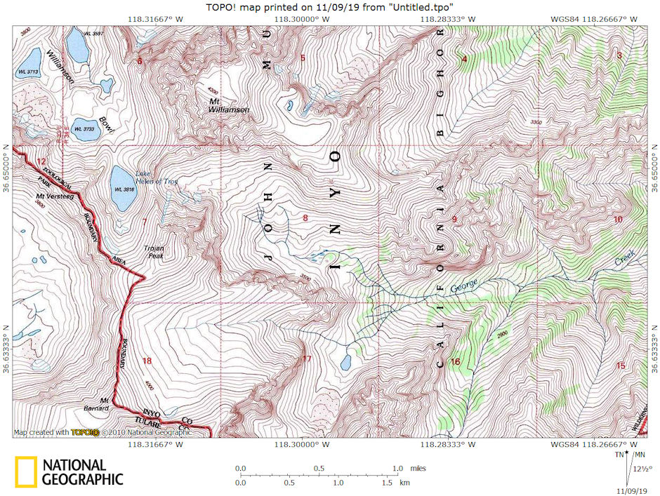
Mt. Williamson, Trojan Peak, Mt. Barnard, George Creek area map
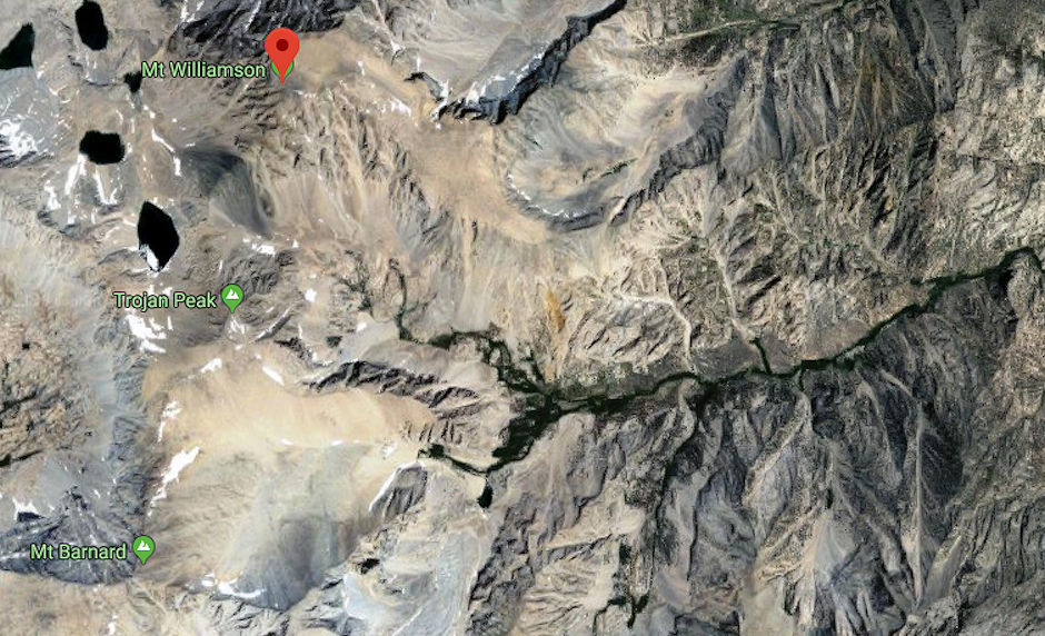
Mt. Williamson, Trojan Peak, Mt. Barnard, George Creek Google Earth map
The following pictures are a mix from the above trips.
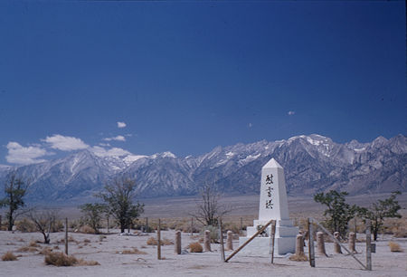
Mountains south of Mt. Williamson
from Manzanar Japanese Internment Camp Monument - May 1964
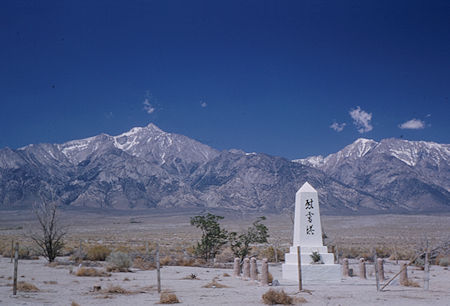
Mt. Williamson (left) from Manzanar Japanese Internment Camp Monument - May 1964
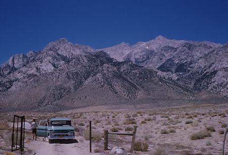
Mt. Williamson (right) from road near Manzanar Japanese Internment Camp - Jul 1964
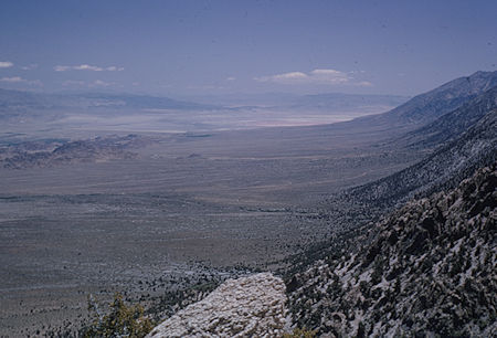
Owens Valley - Dry Lake - May 1964
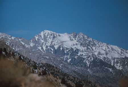
Mt. Williamson from Horseshoe Road near Lone Pine - Mar 1975
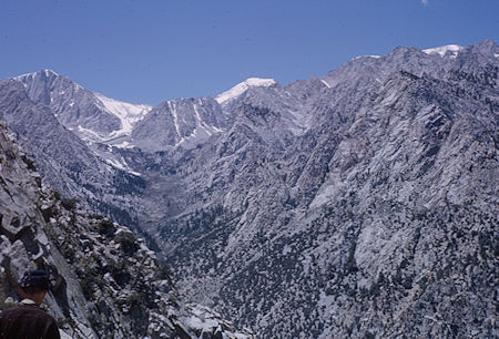
Mt. Barnard, Trojan Peak, Mt. Williamson, George Creek - May 1964
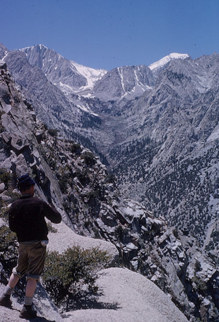
George Creek - Mt. Barnard(left), Trojan Peak (right) - May 1964
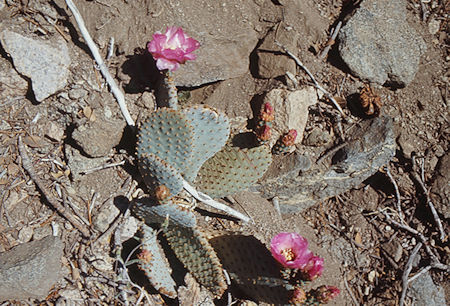
Cactus flower along George Creek - Jul 1971
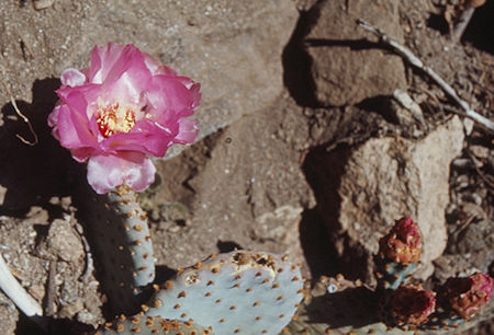
Cactus flower along George Creek - Jul 1971
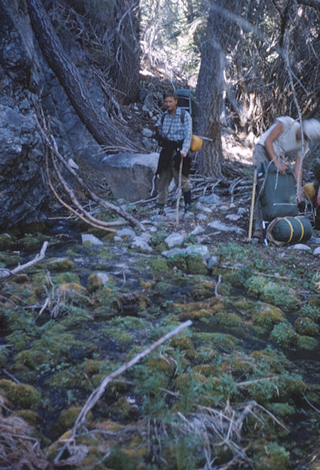
George Creek - May 1964
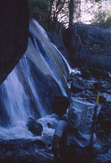
George Creek waterfall - Jul 1964
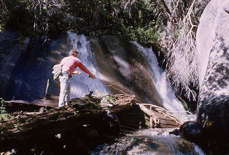
Fishing on George Creek below waterfall - Jul 1964
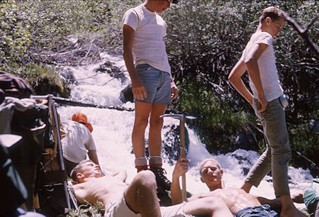
George Creek - Jul 1965
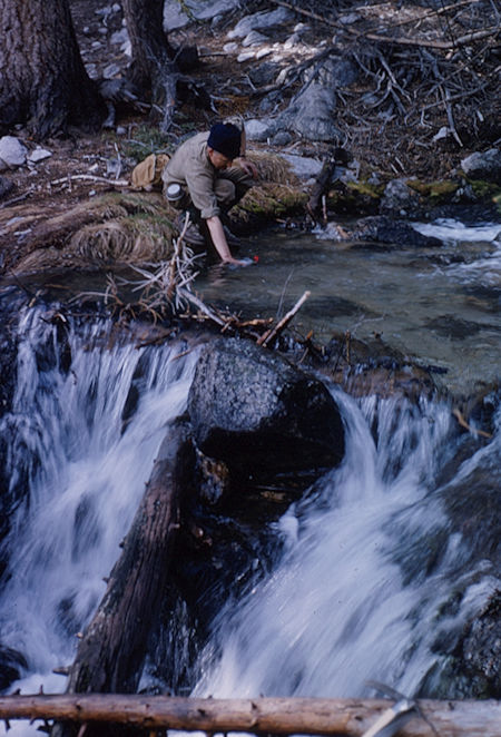
Side creek along George Creek - May 1964
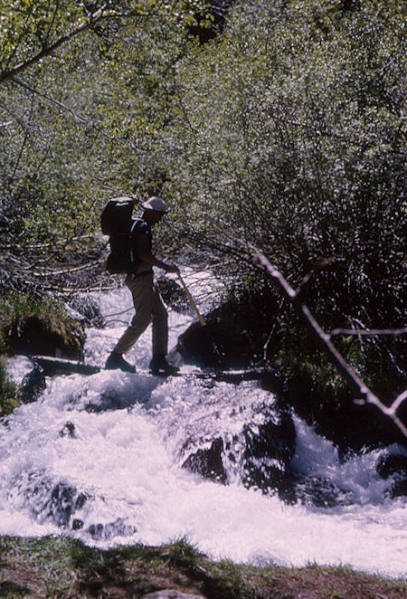
George Creek - Jul 1965
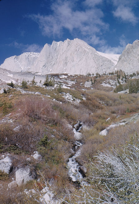
North fork of George Creek - Mt. Barnard - May 1964
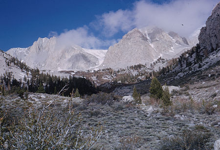
Entering the upper basin on George Creek - May 1964
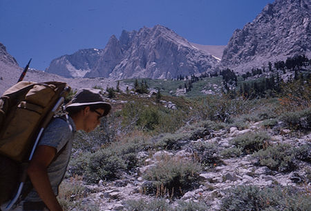
Mt. Barnard - North Fork of George Creek - Jul 1964
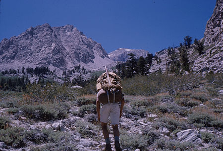
North Fork George Creek - Jul 1964
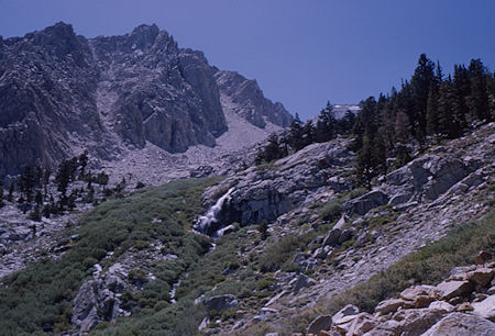
Waterfall below camp, North Fork George Creek - Jul 1964
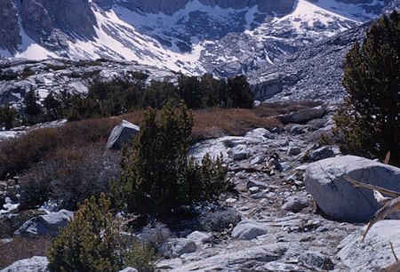
North Fork George Creek - May 1964
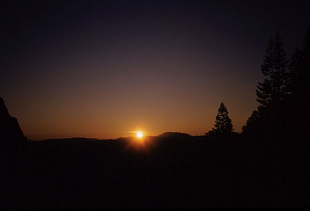
Sunrise from camp on North Fork George Creek - May 1964
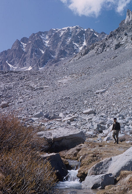
Mt. Williamson from North Fork George Creek - May 1964
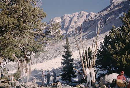
Camp at 11,000' on North Fork George Creek - Jul 1965 - Bob Johnson photo
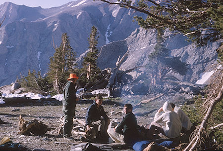
Camp at 11,000' on North Fork George Creek - Jul 1965
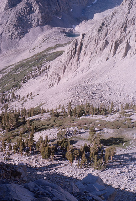
Camp in the morning on North Fork George Creek - Jul 1964
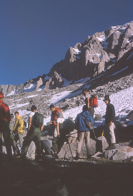
Ready to climb Mt. Williamson - Jul 1965
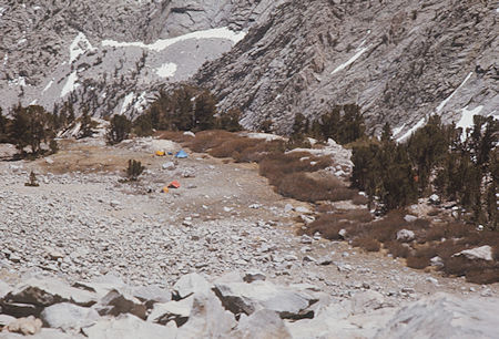
Camp on North Fork George Creek - May 1976
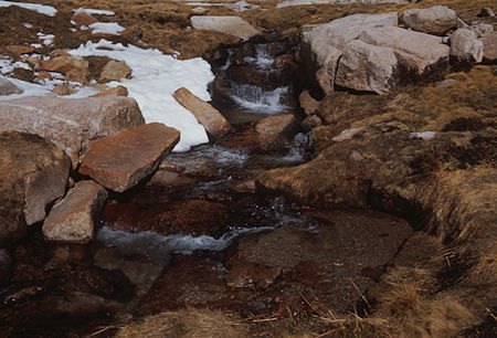
North Fork George Creek above camp - May 1976
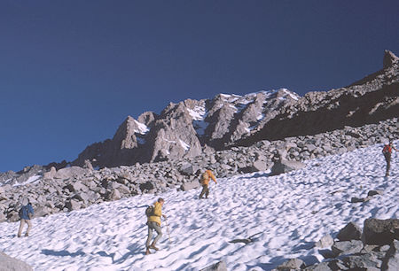
On the way to Mt. Williamson - Jul 1965
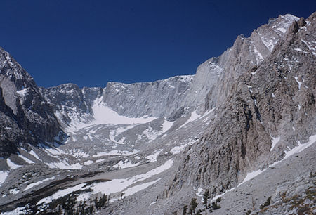
North Fork George Creek basin above camp from route up Mt. Williamson - May 1964
The 'notch' leads to Lake Helen of Troy, Trojan Peak to the left
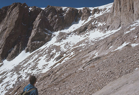
Looking at the saddle that goes from North Fork George Creek
to Lake Helen of Troy - May 1976
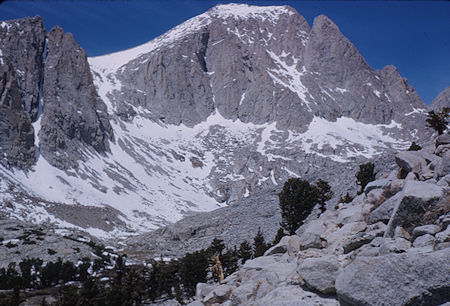
Trojan Peak - May 1964
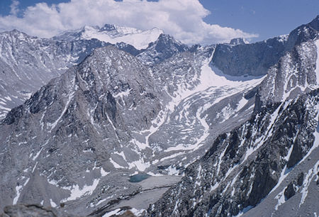
Mt. Whitney, Mt. Russell, Tunnabora Peak from 13,000' on Mt. Williamson - May 1964
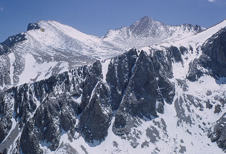
Mt. Barnard from 13,000' on Mt. Williamson - May 1964
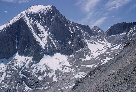
Trojan Peak from 13,000' on Mt. Williamson - May 1964
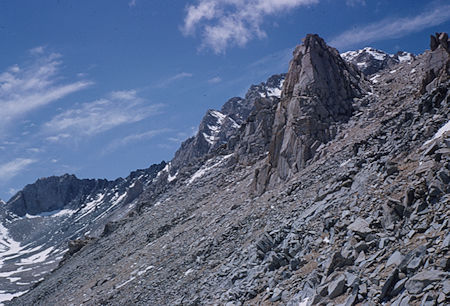
Mt. Williamson from 13,000' on the climbing route - May 1964
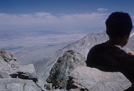
Owens Valley - Dry Lake from 13,000' on Mt. Williamson - May 1964
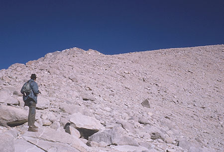
First high 'plateau' on the way up Mt. Williamson - Jul 1964
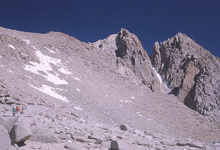
Route to second 'plateau' and 'east peak' on Mt. Williamson - Jul 1964
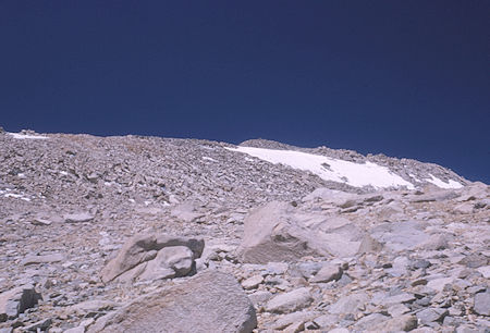
Final slope on route to top of Mt. Williamson - Jul 1964
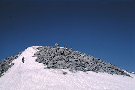
Final pitch to the top of Mt. Williamson - Jul 1965 - Bob Johnson photo
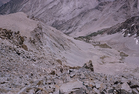
Upper North Fork George Creek from top of Mt. Williamson - Jul 1964
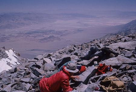
Owens Valley - Dry Lake from top of Mt. Williamson - Jul 1964
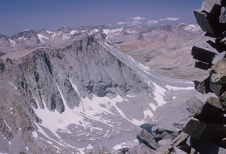
View southwest from top of Mt. Williamson - Jul 1964
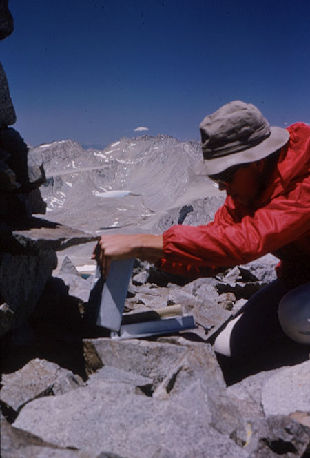
Checking out the register on top of Mt. Williamson - Jul 1964
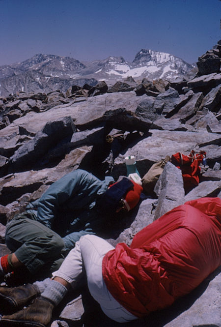
Mt. Whitney (right), Mt. Russell (to its left) from top of Mt. Williamson - Jul 1964
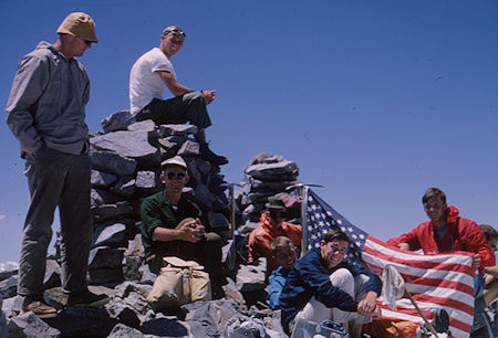
Explorer Post 360 on top of Mt. Williamson - Jul 1965
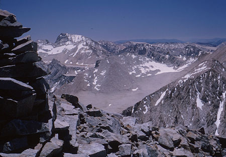
Mt. Whitney with Mt. Russell to its left from top of Mt. Williamson - Jul 1964
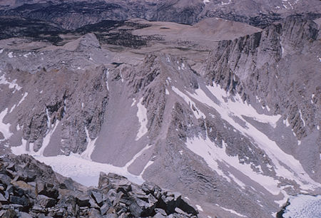
Lake Helen of Troy (lower right), Big Horn Plateau from top of Mt. Williamson - Jul 1964
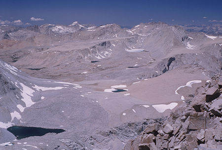
View northwest from top of Mt. Williamson
Shepherd Pass, Diamond Mesa, Mt. Brewer - Jul 1964
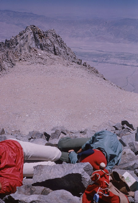
Mt. Williamson saddle and east peak from top of Mt. Williamson - Jul 1964