Trojan Peak lies just east of the Sierra crest about 5 miles north of Mt. Whitney, wholly within the John Muir Wilderness. Though one of the 20 highest peaks in California, it is overshadowed by taller and more popular peaks that crowd it on three sides: Mts. Williamson, Tyndall, and Barnard.
The name of the peak was suggested by Chester Versteeg and Ralph Chase for their Alma Mater, the University of Southern California, athletic teams. Versteeg was also responsible for naming Lake Helen of Troy, located just northwest of the peak.
The peak is not technically difficult, no more than class 2 from most approaches. The peak is a very high pile of rubble and sand whose tediousness at altitude can tax even the most ardent peakbagger.
The shortest approach is via George Creek, a classic Eastern Sierra bushwhack - pictures on this page. Somewhere near the 9500 foot level you will be able to see the broad chute leading to the Barnard-Trojan basin. Follow this up for the easiest approach to Trojan's Southeast Slopes
From 1981 until 2010 the California Bighorn Sheep Zoological Area was closed to access for much of the year, but late in 2010, the Inyo National Forest Service, with the support of the related scientific communities, declined to renew the closure.
The route is now open year-round with limits on the number of people allowed to enter the area each day. See this Forest Service page for details.
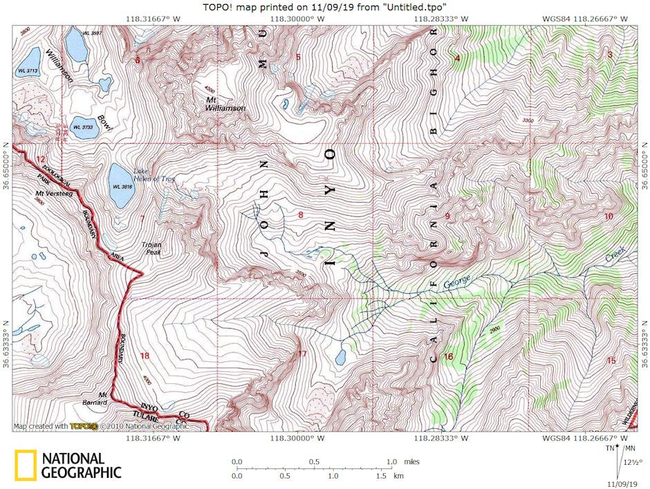
Mt. Williamson, Trojan Peak, Mt. Barnard, George Creek area map
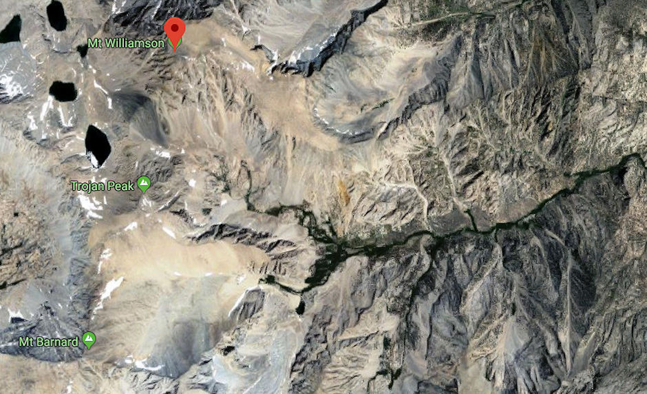
Mt. Williamson, Trojan Peak, Mt. Barnard, George Creek Google Earth map
I hiked up George Creek for the fifth time on July 3-5, 1971 with an Explorer Post 360 party of 29 people. Ten out of eleven who tried made the top of Mt. Williamson - 1 got within 200 feet.
Myself, Bob Johnson, Norman Hewitt and Kevin Twohey, having previously climbed Mt. Williamson, climbed 13,950' Trojan Peak.
Beautiful weather. Tough hike to camp because of elevation gain. Brush not too bad - trail (route) pretty well beaten in. A good and beautiful trip even though rugged. No fish.
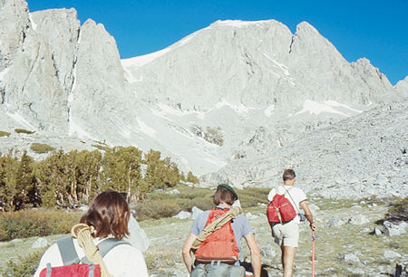
Trojan Peak - Bob Johnson leads the way - Jul 1971
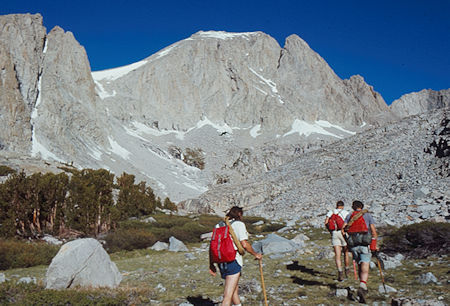
Trojan Peak - Bob Johnson leads the way - Jul 1971
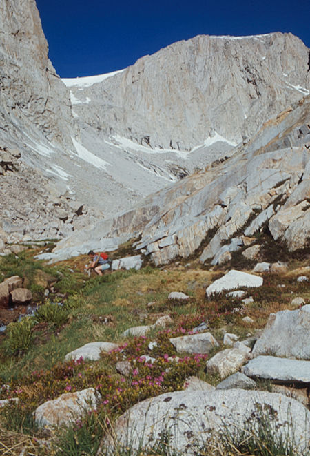
Trojan Peak - water stop on George Creek - Jul 1971
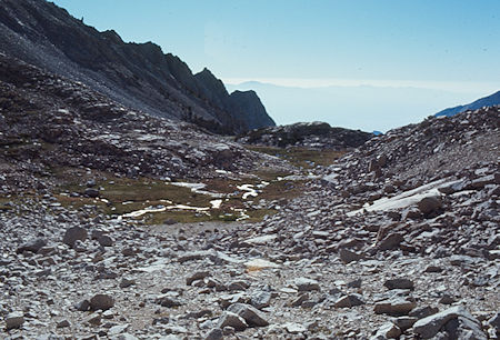
Looking back toward camp on the way to Trojan Peak - Jul 1971
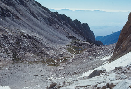
Looking back toward camp on the way to Trojan Peak - Jul 1971
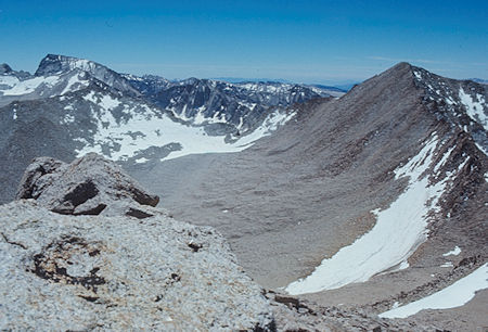
Mt. Whitney (left), Mt. Barnard (right) from top of Trojan Peak - Jul 1971
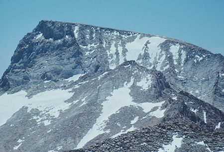
Mt. Whitney from top of Trojan Peak - Jul 1971
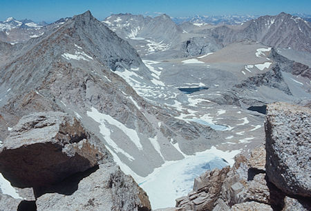
Mt. Tyndall (left), Junction Peak (center) from top of Trojan Peak - Jul 1971
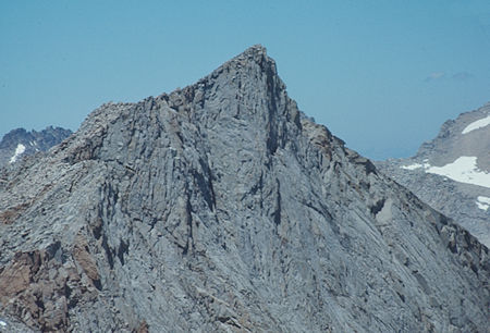
Mt. Tyndall from top of Trojan Peak - Jul 1971
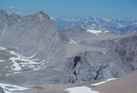
Junction Peak from top of Trojan Peak - Jul 1971
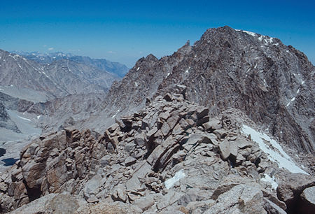
Mt. Williamson beyond top of Trojan Peak - Jul 1971
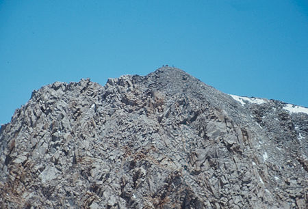
Mt. Williamson from top of Trojan Peak - Jul 1971
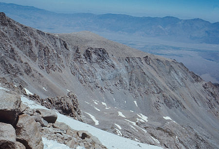
The Mt. Williamson plateau from top of Trojan Peak - Jul 1971
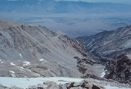
George Creek from top of Trojan Peak - Jul 1971
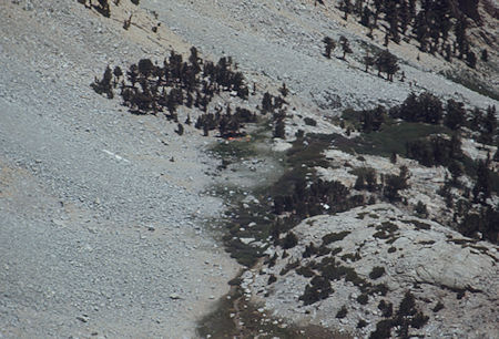
Looking down on camp from top of Trojan Peak - Jul 1971
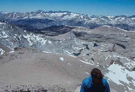
Wright Lakes, Big Horn Plateau, Kaweah's from top of Trojan Peak
over Bob Johnson - Jul 1971
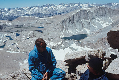
Wright Lakes, Milestone area over Bob Johnson from top of Trojan Peak - Jul 1971
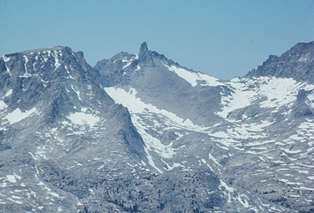
Milestone Mountain from top of Trojan Peak - 1971
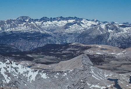
Kaweah ridge, Kaweah Basin, Big Horn Plateau from top of Trojan Peak - Jul 1971
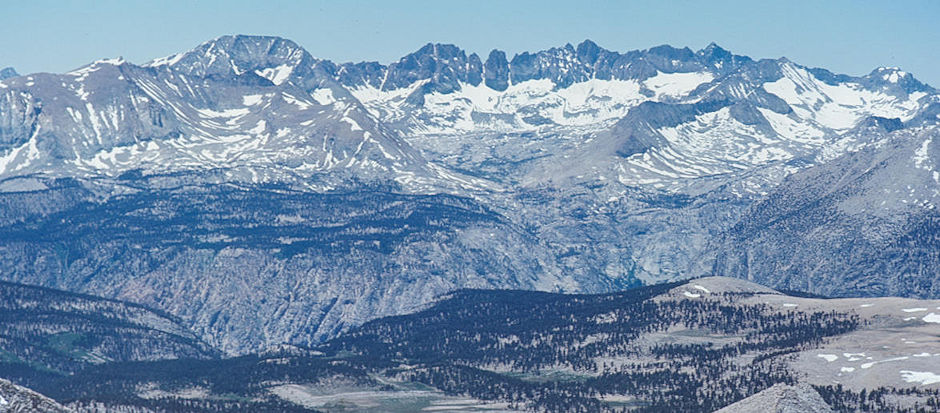
Mt. Kaweah (left), Kaweah ridge, Kaweah Basin (center), Picket Creek (right), Kern Canyon (front) from top of Trojan Peak - Jul 1971
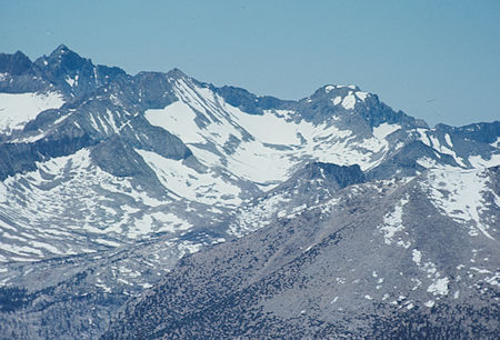
Picket Creek, Kaweah peaks ridge from top of Trojan Peak - Jul 1971
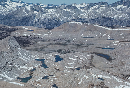
Wright Lakes, Tawny Point, Triple Divide Peak from top of Trojan Peak - Jul 1971
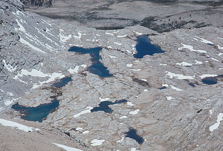
Upper Wright Lakes from top of Trojan Peak - Jul 1971
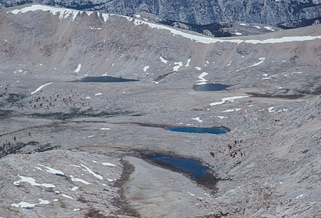
Tawney Point, lower Wright Lakes basin from top of Trojan Peak - Jul 1971