Mount Barnard has the dubious distinction of being the highest thirteener, a peak between 13,000 and 13,999 feet in elevation, in the United States. It is located on the Sierra Crest and straddles the boundary between Tulare and Inyo counties about 2 miles southwest of Mount Williamson, the second-highest peak in the state; Mount Barnard is the twelfth-highest.
If it could stand on its tiptoes, Mount Barnard would be California's sixteenth 14er. Instead, at 13,990', it is the closest runner-up, making it the 68th highest peak in the contiguous United States.
The first ascent was by W. L. Hunter, John Hunter, William Hunter and C. Mulholland on September 25, 1892. They named the peak in honor of E. E. Barnard, a noted astronomer.
I hiked up George Creek for the third time on May 28-30, 1965 with an Explorer Post 360 party of myself, Bob Johnson, Helmut Siekmann, Mike Rakowski, Mark Webb, Steve Williams, Bill Webb, Jeff Pearson and John Thompson to climb 13,990' Mt. Barnard.
We originally planned to use the new Horseshoe Meadows road for a climb of Mt. Langley but the road was still under construction so we switched to Mt. Barnard.
Left the George Creek roadhead at 10 am and made camp at 9500' at 4 pm. Had snow showers during supper. Pictures of the George Creek route on this page.
Up at 5:30 am and headed for Mt. Barnard by 7:30 am Sunday. Long snow slope from 10,000 to 12,700, then mixed snow and talus to peak.
Snow flurries and electricity on top. Almost climbed wrong peak. On top at 4:30 pm, back to camp by 7:30 pm after a long glissade. Left camp 9 am Monday and reached the car about 11 am - slightly over 2 hours out. Good trip.
From 1981 until 2010 the California Bighorn Sheep Zoological Area was closed to access for much of the year, but late in 2010, the Inyo National Forest Service, with the support of the related scientific communities, declined to renew the closure.
The route is now open year-round with limits on the number of people allowed to enter the area each day. See this Forest Service page for details.
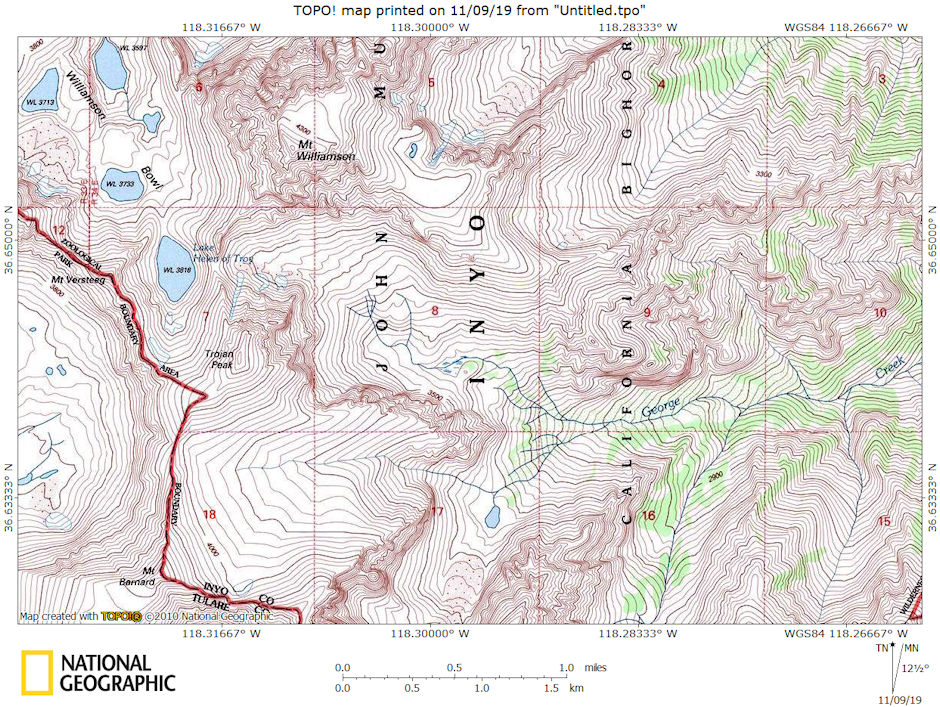
Mt. Williamson, Trojan Peak, Mt. Barnard, George Creek area map
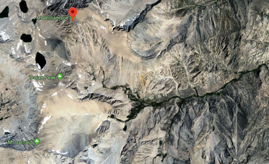
Mt. Williamson, Trojan Peak, Mt. Barnard, George Creek Google Earth map
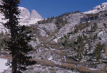
Waterfall on George Creek above camp - May 1965
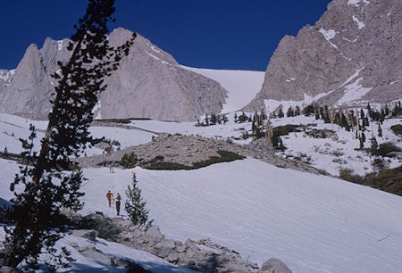
Snow slope leading to Mt. Barnard - May 1965
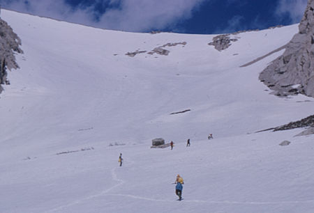
Climbing to snow slope toward the top of Mt. Barnard - May 1965
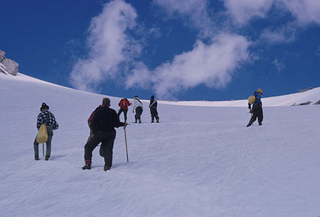
Climbing to snow slope toward the top of Mt. Barnard - May 1965
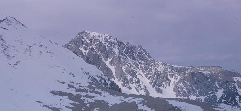
Trojan Peak (left), Mt. Williamson (right) from snow slope on way to Mt. Barnard - May 1965
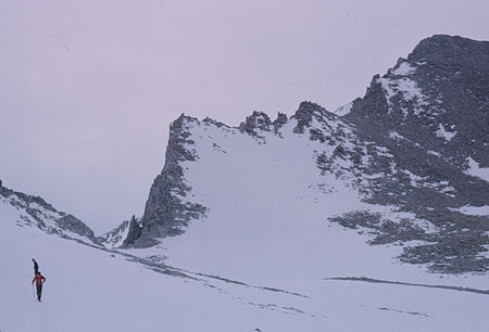
Climbing the snow slope to Mt. Barnard - May 1965
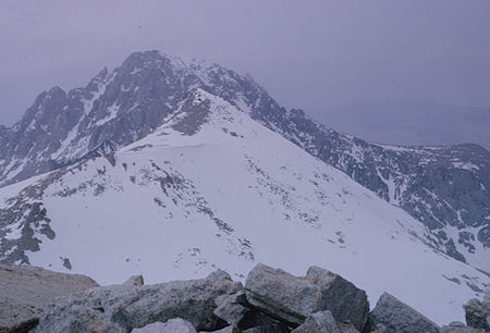
Trojan Peak (in front), Mt. Williamson (in back) from top of Mt. Barnard - May 1965
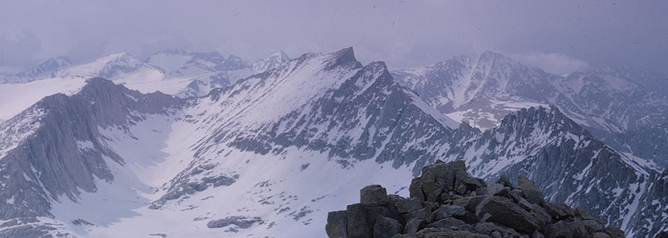
Mt. Tyndall (center), Mt. Versteeg (right) from top of Mt. Barnard - May 1965
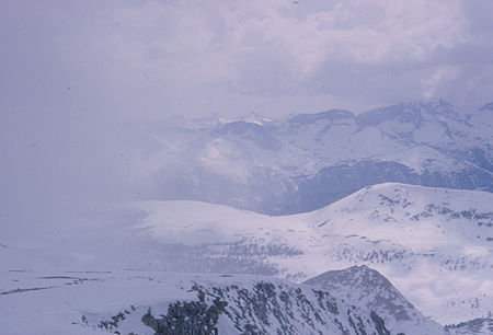
Clouded in Big Horn Plateau from top of Mt. Barnard - May 1965
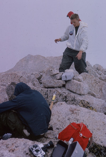
Helmut Siekmann and peak register on top of cloudy Mt. Barnard - May 1965