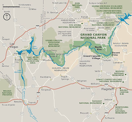
Grand Canyon National Regional Map
On New Year's weekend December 31, 1961-January 1, 1962 myself, Bob Brooks, John Burdine and Jay Burdine backpacked to Phantom Ranch 20 miles round trip from 7,250' to 2,500' and back in Grand Canyon National Park.
We left San Diego 6:45 pm December 29, 1961, and stopped for the night north of Yuma, Arizona. We arrived at Grand Canyon 1:30 p.m. with 2 inches of snow on the ground but otherwise sunny and mild. Toured the south rim sights and then camped out in the snow (30°).
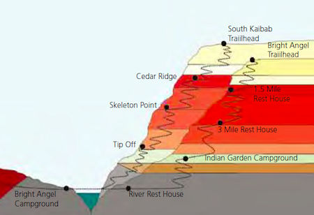
South Kaibab and Bright Angel Trail elevation profile - Grand Canyon National Park
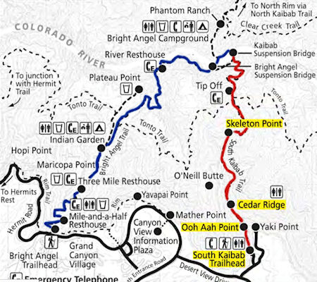
South Kaibab - Bright Angel Trail Map
NOTE: At the time of our trip there was only one bridge, the Kaibab aka Black bridge completed in 1928. The Bright Angel aka Silver bridge was completed in late 1960's
Our plan was to do the Kaibab (aka South Kaibab) trail down to the Bright Angel Campground and Phantom Ranch, spend the night, then return to the South Rim via the Bright Angel Trail. This is a typical trip that many people lake. Over New Year's 1961-62 not many people were on the hike but in later years the number of people hiking this trail system required a permit system by the National Park. In our case I don't believe anyone else was on the trail. Complete history of this trail system here and as a PDF file here.
The Grand Canyon, including its extensive system of tributary canyons, is valued for its combination of size, depth, and exposed layers of colorful rocks dating back to Precambrian times. The canyon itself was created by the incision of the Colorado River and its tributaries after the Colorado Plateau was uplifted, causing the Colorado River system to develop along its present path.
The primary public areas of the park are the South and North Rims, and adjacent areas of the canyon itself. The rest of the park is extremely rugged and remote, although many places are accessible by pack trail and backcountry roads. The South Rim is more accessible than the North Rim, and accounts for 90% of park visitation.
The South Rim is accessed via Arizona State Route 64. The highway enters the park through the South Entrance, near Tusayan, Arizona, and heads eastward, leaving the park through the East Entrance. Interstate 40 provides access to the area from the south. From the north, U.S. Route 89 connects Utah, Colorado, and the North Rim to the South Rim. Overall, some 30 miles of the South Rim are accessible by road.
The North Rim area of the park is located on the Kaibab Plateau and Walhalla Plateau, directly across the Grand Canyon from the principal visitor areas on the South Rim. The North Rim's principal visitor areas are centered around Bright Angel Point. The North Rim is higher in elevation than the South Rim, at over 8,000 feet of elevation. Because it is so much higher than the South Rim and subject to heavy snowfall, it is closed from December 1 through May 15 each year. Visitor services are closed or limited in scope after October 15. Driving time from the South Rim to the North Rim is about 4.5 hours, over 220 miles.
Grand Canyon Village is the primary visitor services area in the park. It is a full-service community, including lodging, fuel, food, souvenirs, a hospital, churches, and access to trails and guided walks and talks.
Several lodging facilities are available along the South Rim. Hotels and other lodging include: El Tovar, Bright Angel Lodge, Kachina Lodge, Thunderbird Lodge, Maswik Lodge and Yavapai Lodge, all of which are located in the village area, and Phantom Ranch, located on the canyon floor. There is also an RV Park named Trailer Village. All of these facilities are managed by concessionaires.
On the North Rim there is the concessionaire managed historic Grand Canyon Lodge and a campground near the lodge, managed by the national park staff. The All Hikers website has extensive information and history about Grand Canyon National Park.
A large collection of videos covers a wide range of information about Grand Canyon National Park. This Wikipedia website has a lot of information.
Of particular interest on the Park website are the eight In Depth Series videos.
Grand Canyon In Depth - Episode 1, More Than a View
Grand Canyon In Depth - Episode 2, Hidden Waters
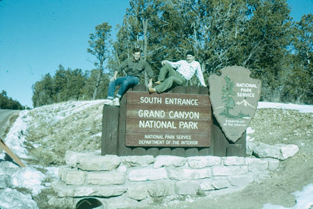
South Entrance to Grand Canyon National Park - Dec 1961
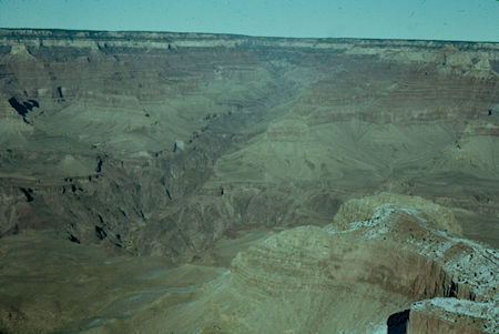
Bright Angel Canyon, North Rim, O'Neill Butte - from Mather Point on South Rim
Grand Canyon National Park - Dec 1961
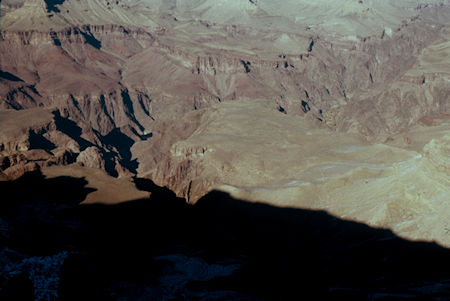
Pipe Creek Canyon, Plateau Point, Inner Canyon, Bright Angel Junction from Mather Point
Grand Canyon National Park - Dec 1961
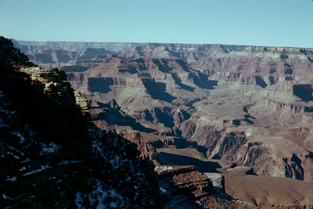
Looking west down canyon from Mather Point
Grand Canyon National Park - Dec 1961
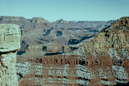
Looking east up canyon from Mather Point
Grand Canyon National Park - Dec 1961
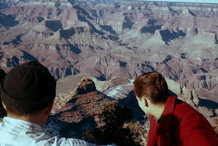
O'Neill Butte below and Cheops Pyramid across canyon from Yaki Point
Grand Canyon National Park - Dec 1961
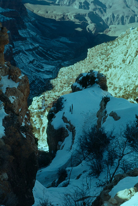
Pine Creek Canyon from beginning of Kaibab Trail south rim
Grand Canyon National Park - Dec 1961
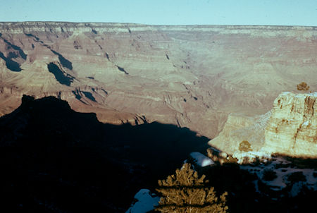
View up Bright Angel Canyon from Grand Canyon Village near head of Bright Angel Trail, Battleship in shadow, Indian Garden below - Grand Canyon National Park - Dec 1961
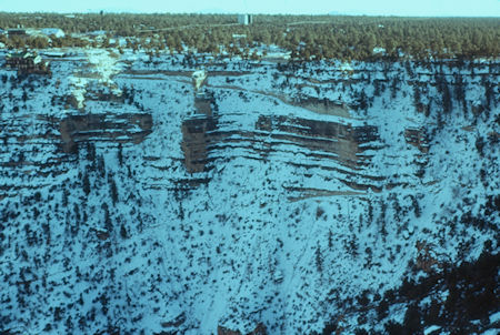
Grand Canyon Village and trail from view point - shows trail
Grand Canyon National Park - Dec 1961
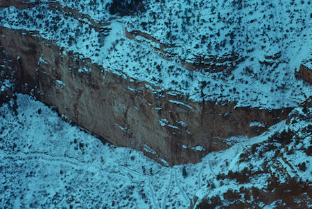
Trail below Grand Canyon Village seen from Maricopa Point
Grand Canyon National Park - Dec 1961
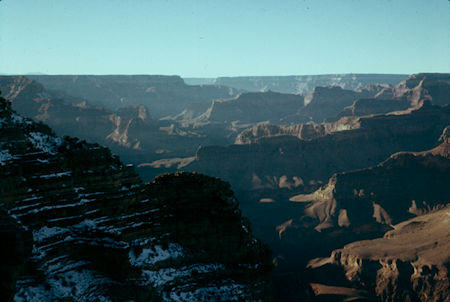
View west from Powell Memorial
Grand Canyon National Park - Dec 1961
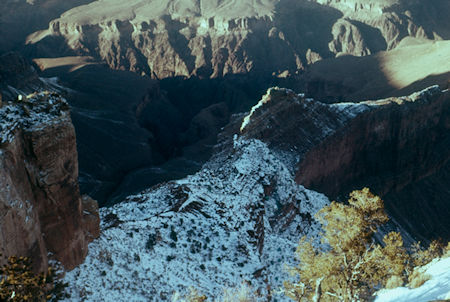
Dana Butte and Salt Creek from Powell Memorial
Grand Canyon National Park - Dec 1961
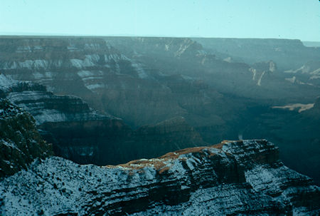
The Alligator and Colorado River above Bouchen Rapids from Hopi Point
Grand Canyon National Park - Dec 1961
On December 31, 1961 we hit the South Kaibab Trail at 9:30 a.m. and after a pleasant hike down arrived at the Bright Angel Campground about 1:30 p.m. Took a hike up to Phantom Ranch and back, and hit the sack about 7:30 p.m. (40°).
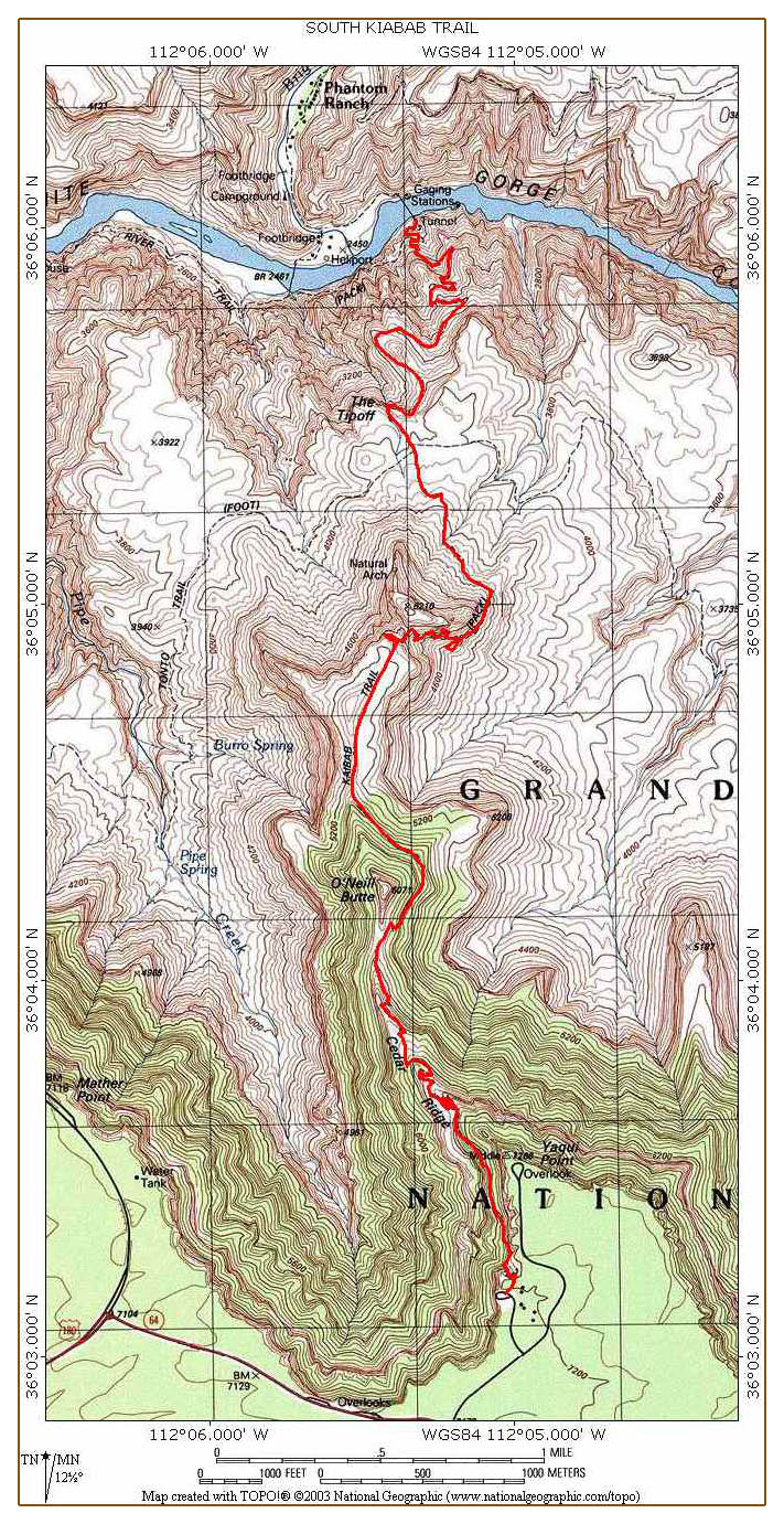
South Kaibab Topo Trail Map
When camping at Bright Angel Campground, many hikers prefer to hike down the South Kaibab Trail (PDF) and up the Bright Angel Trail which is what we did.
Though the South Kaibab Trail has an almost identical maximum grade compared to the Bright Angel, it is more consistently sloped but does not have water or shade.
The hike down the South Kaibab Trail typically takes 4-6 hours.
The trail begins with a series of tight switchbacks. This is where ice will most likely be encountered during the winter months. We took ice axes with us just in case.
After these initial switchbacks, the trail traverses below Yaki Point to the aptly named Ooh Ah Point (the first panoramic view of the canyon).
From Ooh Ah Point on, the trail follows the top of a ridgeline and is consistently without shade.
Several broad and steeply-plunging switchbacks later, hikers reach Cedar Ridge. There are pit toilets at Cedar Ridge, but no water or emergency phone.
From Cedar Ridge, the South Kaibab Trail traverses below O'Neill Butte without a single switchback to Skeleton Point.
At three miles from the rim, Skeleton Point is the maximum distance recommended for a day hike.
The trail goes directly off the end of Skeleton Point and here, where the trail has been blasted directly out of the limestone cliffs, hikers will encounter the most dramatic sense of exposure.
The trail descends rapidly via a series of switchbacks to the Tonto Platform and Tipoff. There are pit toilets and an emergency phone at Tipoff, but no water.
Below Tipoff, the South Kaibab Trail loosely follows the course of an earlier trail called the Cable Trail (built in 1907 to accommodate access to the old cable car system across the river that existed before construction of the present suspension bridge).
Vestiges of this earlier trail can be seen as the South Kaibab Trail descends toward the Colorado River. Access to Bright Angel Campground is via the black bridge (built in 1928).
The section of trail from the South Rim to the river was later renamed the South Kaibab Trail and the bridge the South Kaibab Bridge which became the Black Bridge when the new Silver Bridge aka Bright Angel Bridge was completed in the late 1960s.
FatMap interactive South Kaibab Trail Map
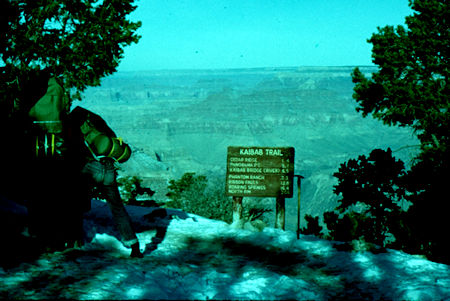
Hitting Kaibab Trail near Yaki Point - Grand Canyon National Park - Dec 1961
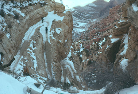
View down Pipe Creek Canyon from start of Kaibab Trail
Grand Canyon National Park - Dec 1961
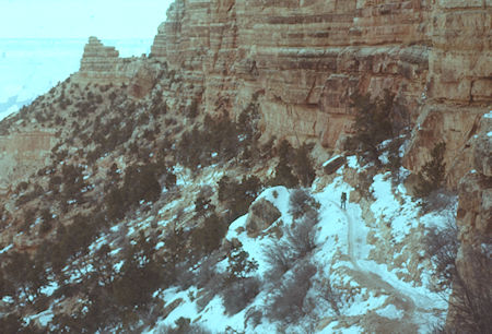
Kaibab Trail along cliff under Yaki Point
Grand Canyon National Park - Dec 1961
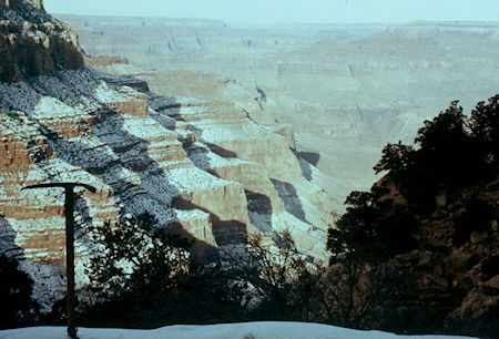
Ribs under Yavapai Point looking northwest down canyon from Kaibab Trail
Grand Canyon National Park - Dec 1961
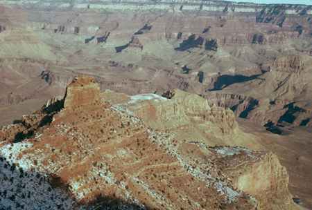
O'Neill Butte and trail northwest from Kaibab Trail
Grand Canyon National Park - Dec 1961
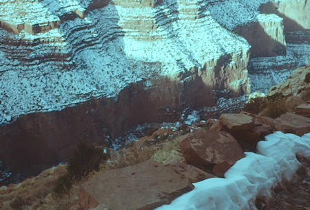
Pipe Creek Canyon from near O'Niell Butte west of Kaibab Trail
Grand Canyon National Park - Dec 1961
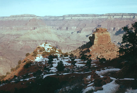
O'Neill Butte north of Kaibab Trail at about 6,000'
Grand Canyon National Park - Dec 1961
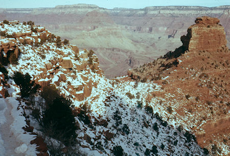
O'Neill Butte on trail looking north-northwest - Trinity Creek Canyon across canyon
Grand Canyon National Park - Dec 1961
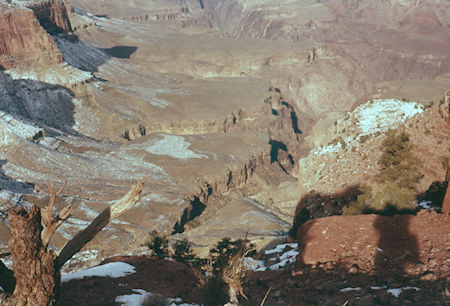
Pipe Creek Canyon and Plateau Point from saddle near O'Neil Butte
Grand Canyon National Park - Dec 1961
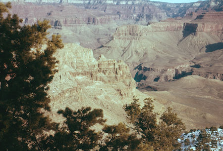
Trail descending several miles north of O'Neill Butte
Grand Canyon National Park - Dec 1961
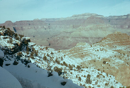
Trail on edge north of O'Neill Butte, Cheops Pyramid cross canyon to right, about 5200'
Grand Canyon National Park - Dec 1961
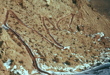
Looking down on the Kaibab Trail
Grand Canyon National Park - Dec 1961
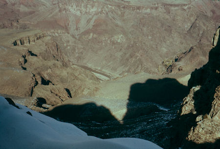
Plateau Point, Pipe Creek Canyon, Colorado River, Bright Angel Canyon (right) looking northwest from view point at end of O'Neill Butte ridge
Grand Canyon National Park - Dec 1961
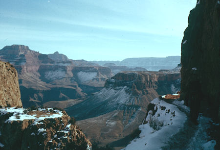
Looking east across end of Pattie Butte - Highlands Butte to left above granite gorge of Colorado River - Grand Canyon National Park - Dec 1961
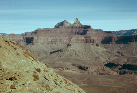
Zoroaster Temple (front), Brahma Temple (back) from Kaibab Trail at about 4600'
Grand Canyon National Park - Dec 1961
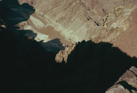
Colorado River and Bright Angel Canyon (right)
Grand Canyon National Park - Dec 1961
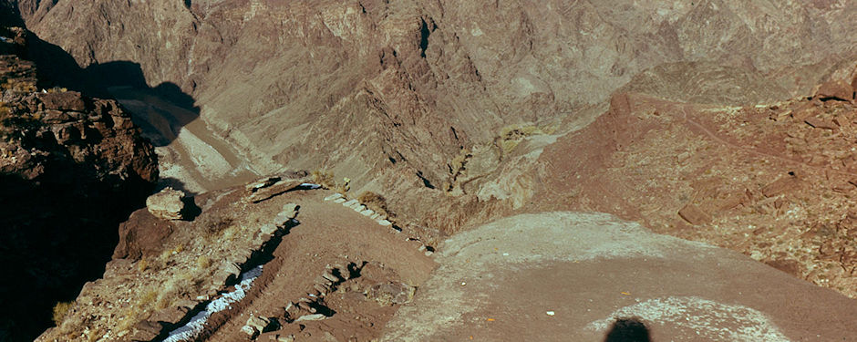
Colorado River inner gorge with Bright Angel Creek on right from about 4,000' on Kaibab Trail - Grand Canyon National Park - Dec 1961
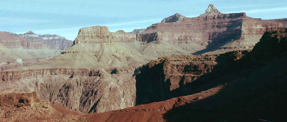
Zoroaster Temple (right) from trail within inner gorge, Sumner Butte across Colorado Granite Gorge, Bright Angel Canyon on left - Grand Canyon National Park - Dec 1961
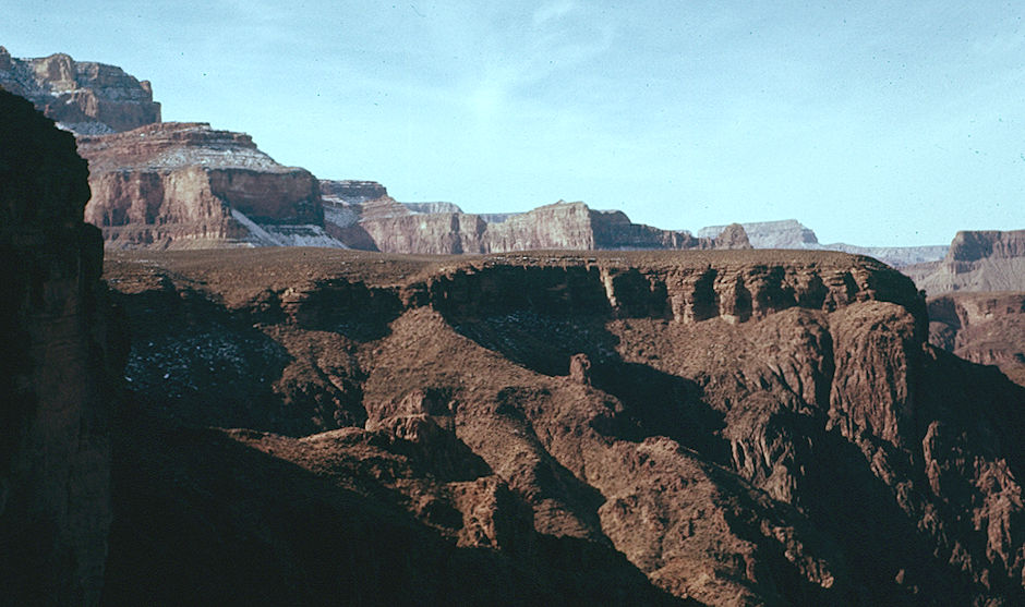
View west along inner canyon walls - Grand Canyon National Park - Dec 1961
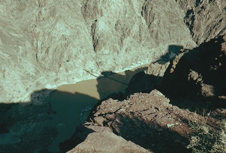
First view of Kaibab aka Black Suspension Bridge
Grand Canyon National Park - Dec 1961
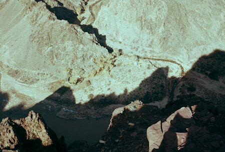
Looking down on U. S. Geological Survey camp and Bright Angel Creek
Grand Canyon National Park - Dec 1961
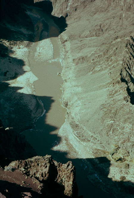
Colorado River 1000' below Kaibab Trail - Grand Canyon National Park - Dec 1961
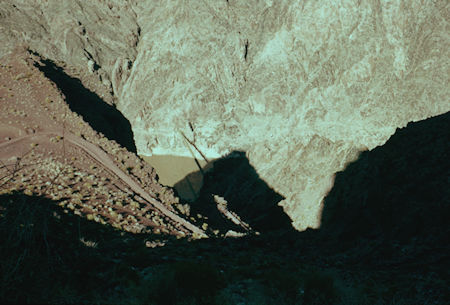
Looking down on trail to Kaibab Bridge and Colorado River
Grand Canyon National Park - Dec 1961
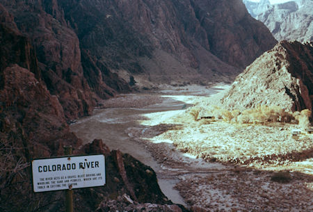
Colorado River at Kaibab Bridge - Grand Canyon National Park - Dec 1961
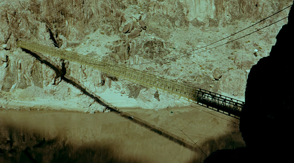
Kaibab aka Black Bridge over Colorado River - Grand Canyon National Park - Dec 1961
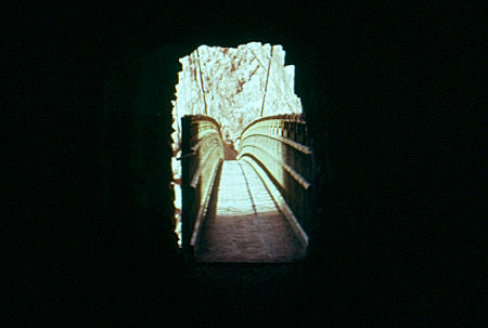
Tunnel on to Kaibab bridge - Grand Canyon National Park - Dec 1961
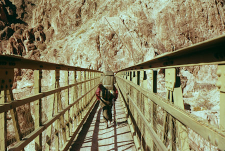
Crossing Kaibab Bridge - Grand Canyon National Park - Dec 1961
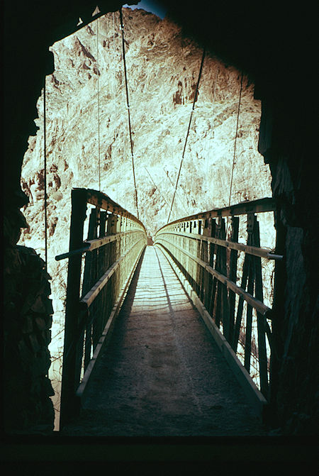
Kaibab Bridge from tunnel - Grand Canyon National Park - Dec 1961
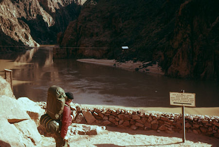
U. S. Geological Survey measuring site at Kaibab Bridge
Grand Canyon National Park - Dec 1961
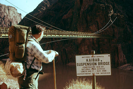
Kaibab Bridge over Colorado River - Grand Canyon National Park - Dec 1961
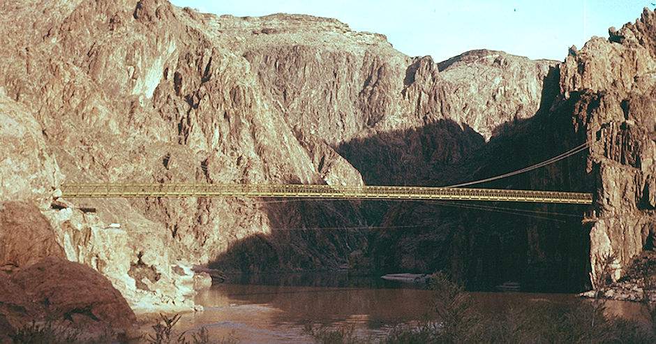
Kaibab aka Black Bridge from near campground - Grand Canyon National Park - Dec 1961
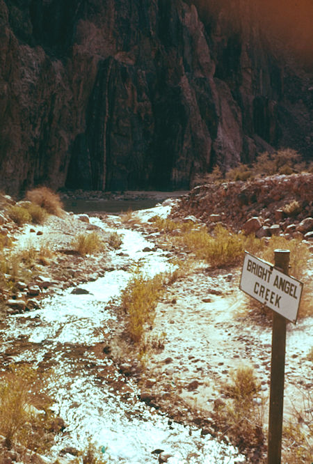
Bright Angel Creek - Grand Canyon National Park - Dec 1961
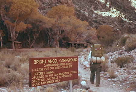
Bright Angel Campground - Grand Canyon National Park - Dec 1961
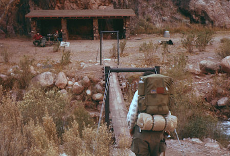
Bright Angel Campground - Grand Canyon National Park - Dec 1961
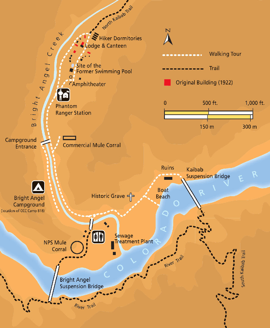
Phantom Ranch Map
Phantom Ranch is a lodge inside Grand Canyon National Park on the north side of the Colorado River near its confluence with Bright Angel Creek and Phantom Creek. Built in 1922, Phantom Ranch is a member of Historic Hotels of America, the official program of the National Trust for Historic Preservation.
The site where the Ranch is now was used by Native Americans for many millennia; pit houses and a ceremonial kiva dating from about 1050 have been found in the area. The earliest recorded visit by non-Native Americans took place in 1869, when John Wesley Powell and his company camped at its beach.
Prospectors began working the area in the 1890s, using mules to haul ore. At the turn of the 20th century, the founders of the Grand Canyon Transportation Company began a project to exploit the area's tourism potential, hiring a crew to improve the trail from the Colorado River to the Canyon's North Rim. President Theodore Roosevelt traveled down the canyon to the camp during a hunting expedition in 1913; in honor of this visit, the site became known as Roosevelt Camp.
Grand Canyon In Depth - Episode 3, Phantom Ranch
Roosevelt's enthusiasm for the Grand Canyon helped lead to its incorporation into the National Park System in 1919. The Fred Harvey Company was granted the concession for the camp in 1922, and hired American architect Mary Colter to design permanent lodging for the site. Colter is credited with suggesting the name Phantom Ranch.
Construction presented a major challenge: all the building materials except rock had to be hauled down by mules. Meeting the challenges at this and other national parks led to the architectural style known as National Park Service Rustic, which features native stone, rough-hewn wood, large-scale design elements, and intensive use of hand labor.
During the Great Depression in the 1930s, the Civilian Conservation Corps made a number of improvements to the ranch and its access trails. The 1920s and 1930s saw its popularity grow, and it was visited by many wealthy and notable guests. The Fred Harvey company made it a point to hire young, attractive, well-educated, and adventurous women to staff the resort.
As the Grand Canyon's popularity grew, so did Phantom Ranch's; during Easter weekend in 1964, about 1,000 people appeared with the intention of spending the night there. The National Park Service then instituted a permit system for overnight stays at the ranch.
More information here on Wikipedia and here on Grand Canyon National Park.
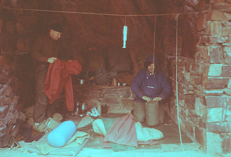
Our campsite at Bright Angel Campground - Grand Canyon National Park - Dec 1961
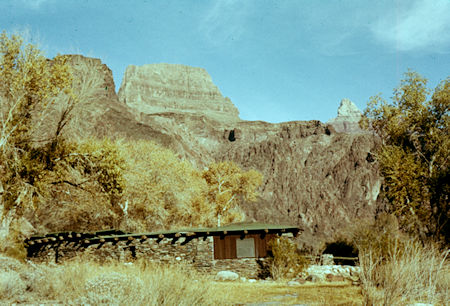
Sumner Butte behind USGS Barns - Grand Canyon National Park - Dec 1961
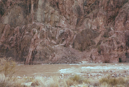
Looking across the canyon from USGS camp - Grand Canyon National Park - Dec 1961
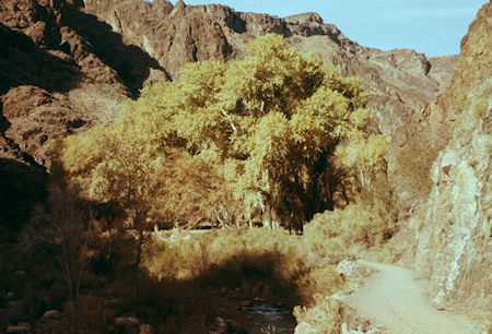
Trees below Phantom Ranch - Grand Canyon National Park - Dec 1961
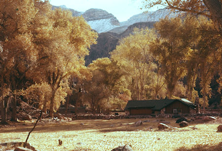
Phantom Ranch Coralls looking south - Grand Canyon National Park - Dec 1961
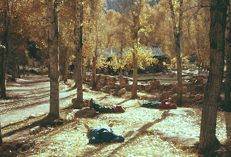
Our group relaxing at Phantom Ranch - Grand Canyon National Park - Dec 1961
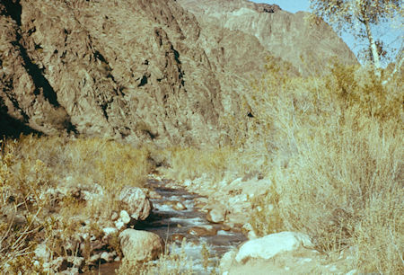
Bright Angel Creek at Phantom Ranch - Grand Canyon National Park - Dec 1961
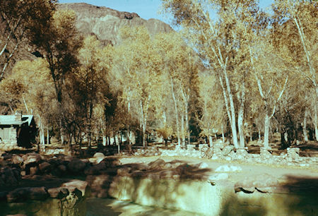
Phantom Ranch pool and yards - Grand Canyon National Park - Dec 1961
On January 1, 1962 we were up at 6:30 and on the trail by 9:30 a.m. Many pleasant sights on the Bright Angel Trail. Ate lunch at Indian Garden about 1 p.m. and made the rim just as it got dark at 5-5:30 p.m.
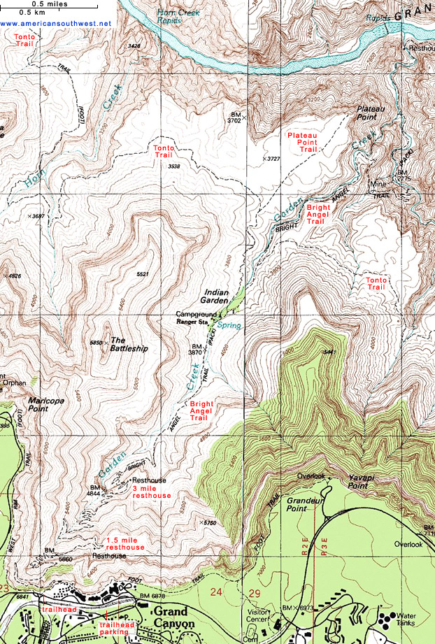
Bright Angel Trail Map
That bridge became the Black Bridge when the new Silver Bridge aka Bright Angel Bridge was completed in the late 1960s.
FatMap interactive Bright Angel Trail
The Bright Angel Trail is longer than the South Kaibab Trail but with less elevation change over a longer distance it is slightly less strenuous. There are also restrooms and access to water along the way, so many people chose to hike up the Bright Angel Trail.
There are several landmarks along the way: River Resthouse 2480 feet, 1.5 miles; Indian Garden 3800 feet, 4.7 miles; 3 Mile Resthouse 4748 feet, 6.5 miles; Bright Angel Trailhead 6860 feet, 9.5 miles.
Cross over the Colorado River on the Bright Angel (aka Silver) Suspension Bridge which was completed in late 1960s. At the time of our trip, it didn't exist so we crossed back over the river on the Kaibab (aka Black) Suspension Bridge and hiked 2 miles on the River Trail to the start of the Bright Angel Trail at the River Resthouse.
At this point the trail turns away from the river and starts the climb up to the South Rim. From the River Resthouse it is a 3.2 mile hike along a small creek steadily gaining elevation. It is a pretty walk but since you are in a canyon, you do not have the same sweeping views that are had on the South Kaibab Trail.
Eventually you come to the first series of switchbacks. They don't last long but can be tiring and is a nice preview of what is coming at the end of the Bright Angel Trail. The views open up as you arrive at Indian Garden which has water and restrooms.
From Indian Garden it is 4.8 miles to the rim. As you look up at the rim it appears to be a giant wall of rock that is impossible to hike up. Once you get to 3 Mile Resthouse, appropriately named since it is just 3 miles from the end of the Bright Angel Trail, you will be feeling the climb. By now, you have already started winding your way up the switchbacks.
Take it easy as you hike up this steep part of the trail to the rim. Enjoy the view from the Bright Angel Trailhead.
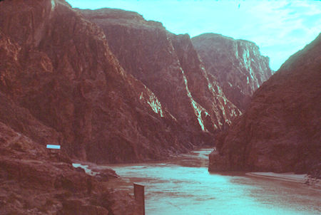
Granite Gorge in the morning from Kaibab Bridge
Grand Canyon National Park - Jan 1962
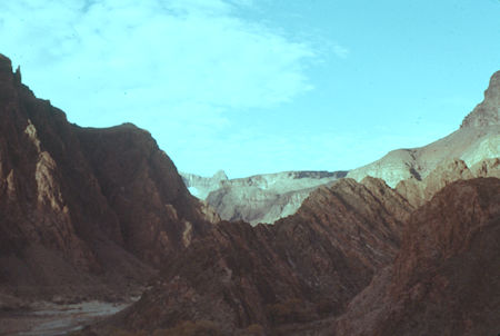
Morning view down Colorado River from Kaibab Bridge
Grand Canyon National Park - Jan 1962
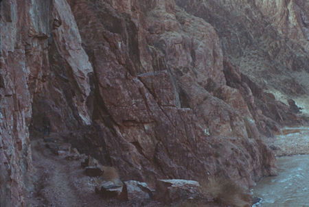
Cliff hanging trail down Colorado River from Kaibab Bridge
Grand Canyon National Park - Jan 1962
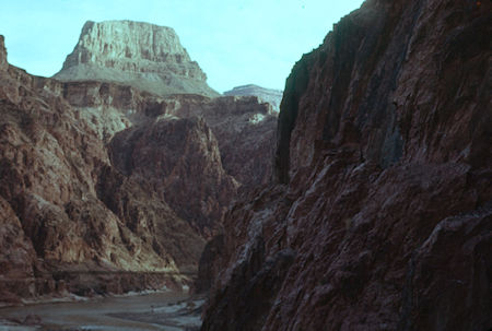
Sumner Butte viewed upstream from trail
Grand Canyon National Park - Jan 1962
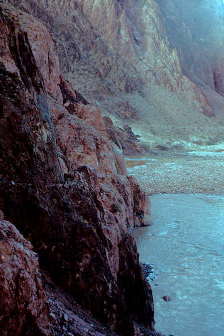
Cliff hanging trail down Colorado River from Kaibab Bridge
Grand Canyon National Park - Jan 1962
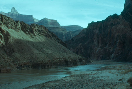
View upstream on Colorado River at Zoroaster Temple
Grand Canyon National Park - Jan 1962
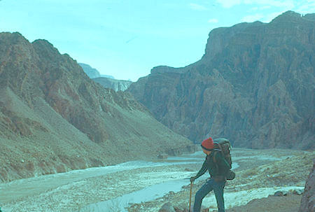
Looking upstream at rapids on Colorado River
Grand Canyon National Park - Jan 1962
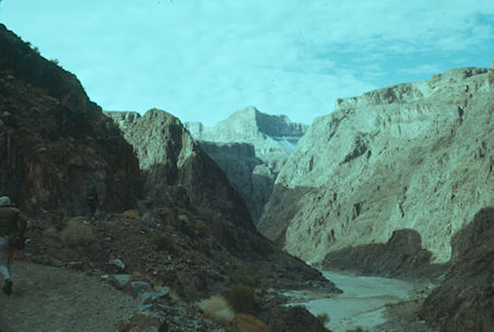
Looking downstream on Colorado River before turning up Garden Creek
Grand Canyon National Park - Jan 1962
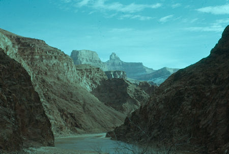
View upstream on Colorado River at Sumner Butte and Zoroaster Temple before turning up Garden Creek - Grand Canyon National Park - Jan 1962
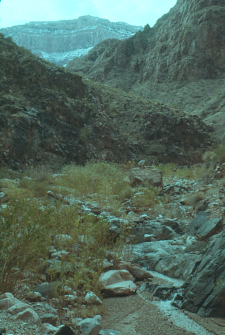
View up Garden Creek to Canyon Rim - Grand Canyon National Park - Jan 1962
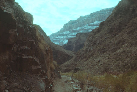
Looking up Garden Creek - Grand Canyon National Park - Jan 1962
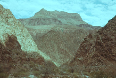
Looking down Garden Creek - Grand Canyon National Park - Jan 1962
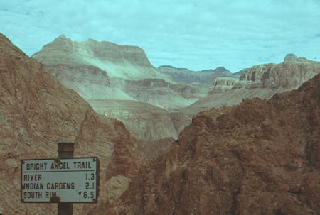
View north as trail climbs up Garden Creek
Grand Canyon National Park - Jan 1962
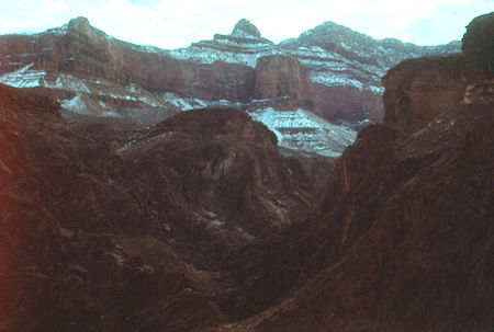
View up Pipe Creek - Grand Canyon National Park - Jan 1962
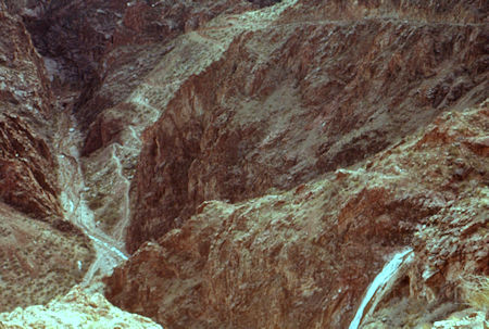
View into Pipe Creek with frozen waterfall of tributary
Grand Canyon National Park - Jan 1962
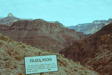
View across canyon at interpretive sign on Bright Angel Trail
Grand Canyon National Park - Jan 1962
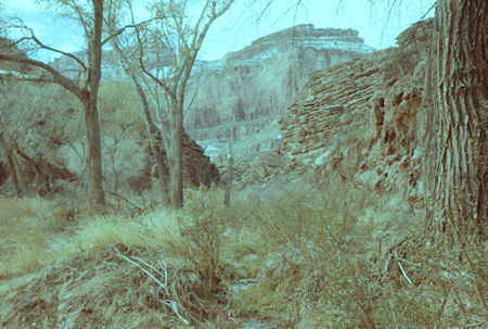
Vegetation along Garden Creek below Indian Garden
Grand Canyon National Park - Jan 1962
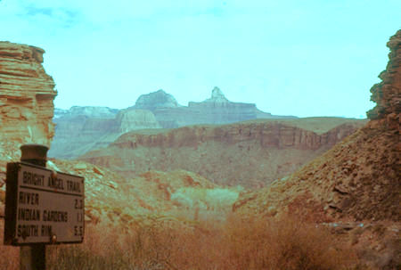
View north from below Indian Garden on Bright Angel Trail
Grand Canyon National Park - Jan 1962
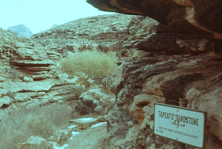
Rock formations along Garden Creek below Indian Garden
Grand Canyon National Park - Jan 1962
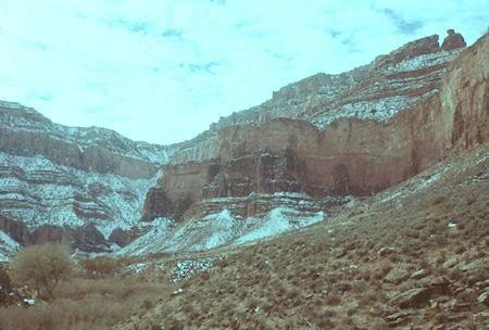
Canyon Rim - Bright Angel Fault (route of trail) from below Indian Garden
Grand Canyon National Park - Jan 1962
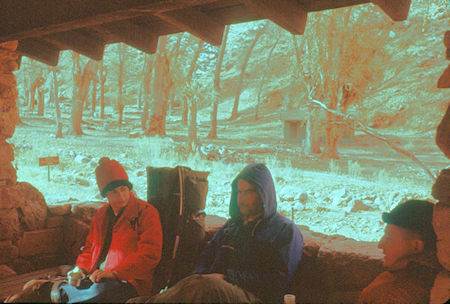
Lunch at Indian Garden - Grand Canyon National Park - Jan 1962
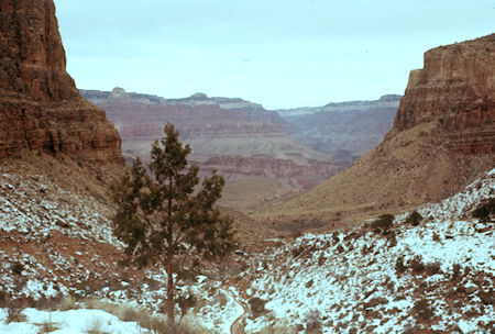
Looking back over Indian Garden on Bright Angel Trail
Grand Canyon National Park - Jan 1962
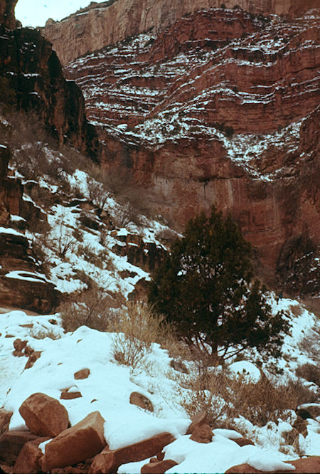
Cliffs of the main Grand Canyon from just above 4,000' on Bright Angel Trail
Grand Canyon National Park - Jan 1962
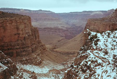
Looking back down Bright Angel Trail from about 5,000'
Grand Canyon National Park - Jan 1962
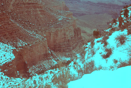
Looking back down Bright Angel Trail from near 6,000'
Grand Canyon National Park - Jan 1962
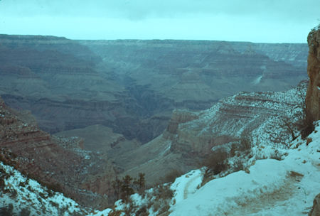
Bright Angel Canyon, etc. from near top of Bright Angel Trail
Grand Canyon National Park - Jan 1962
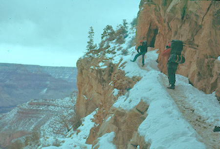
Rest stop near top of Bright Angel Trail - Grand Canyon National Park - Jan 1962
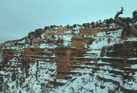
Near the end of the Bright Angel Trail near the Kolb Studio
Grand Canyon National Park - Jan 1962
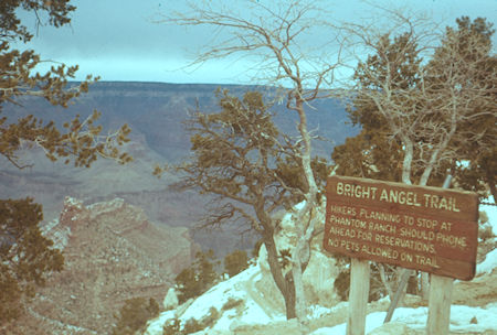
End of the Bright Angel Trail and the trip - Grand Canyon National Park - Jan 1962
We chickened out on camping out in the cold and stayed the night in Bright Angel Lodge at reduced winter rates. Up at 6:30 a.m. and on the road by 7 a.m. - made San Diego at 4:30 p.m. Nice trip.