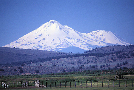
Mount Shasta from south of Klamath Falls, Oregon
Monday, July 1, 1996
Left Klamath Falls in a southwesterly direction, more views of Mount Shasta. At an elevation of 14,179 feet, it is the second-highest peak in the Cascades and the fifth-highest in the state.
Drove through some pretty Oregon farm country and forests to Lake of the Woods which has Mount McLoughlin sort of towering over it.
Click here for a Virtual Tour of Mount McLoughlin which is located in the Sky Lakes Wilderness.
Nice tree lined lake with nice campgrounds and a boat launch facility - looks like a great place for some relaxed fishing.
Wasn't very busy. I think I'm sort of in the pre-season for the area.
Lake of the Woods Campgrounds: Aspen Point - Sunset
On to Fourmile Lake for the night - similar but smaller. Mosquitoes out at this one which probably help account for there being just the campground host, myself and one other party in the 25 campsites. Campground info here.
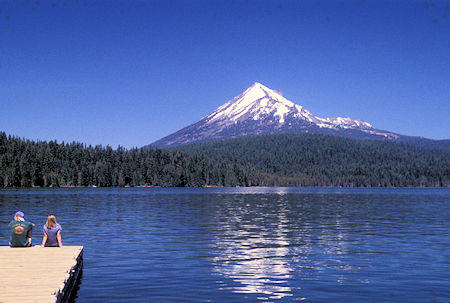
Mt. McLoughlin over Lake of Woods
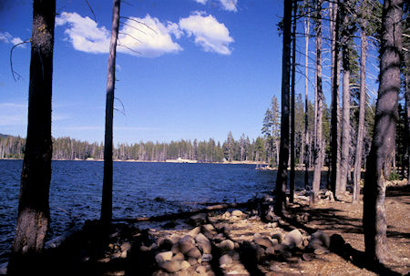
Fourmile Lake
Tuesday, July 2, 1996
Continued past Upper Klamath Lake. That sure is a big lake. Lots of water in this part of Oregon - which I hadn't realized was the case.
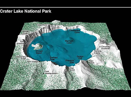
Arrived at Crater Lake National Park. The eastern part of the rim highway still closed by snow. Lots of snow patches in the trees at various places and lots around Rim Village and the rim itself.
The lake sure IS BLUE. I seemed to have great light so saw all the open view points and got more than enough pictures.
Talked to one grandfather who had his number ten grandson visiting from Florida with him who had never seen snow or mountains.
Stayed at the park Mazama Campground. Very similar to our local campgrounds - at about 6,000 feet - very pleasant temperatures and minimal bugs.
Wednesday, July 3, 1996
I'd paid for two nights so decided to relax for a day here.
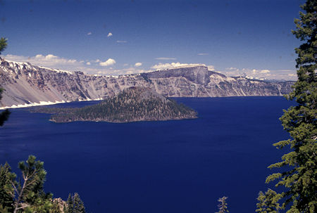
Wizard Island, Crater Lake, Crater Lake National Park, Oregon
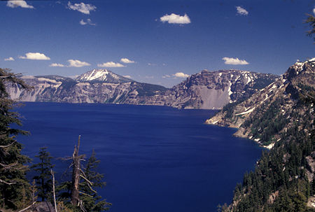
Crater Lake south shore from Discovery Point, Crater Lake National Park, Oregon
Click for more Crater Lake National Park
Thursday, July 4, 1996
Survived July 4 without hearing a single fire cracker.
From Crater Lake National Park I drove to Diamond Lake Recreation Area. A large lake with lots of campsites, boat ramp, etc. and lots of people (July 4). It's a Forest Service facility with summer cabins on the side of the lake away from the campgrounds.
There is an extensive system of paved and unpaved bike trails around and in the vicinity of the lake. I walked part of one of the trails that parallels a beautiful stream called Silent Creek.
Got a nice picture over a meadow of Mount Thielsen in the Mount Thielsen Wilderness.
A person could have a ball here - ride your mountain bike all over the place and climb a peak too <grin>.
More Umpqua National Forest Campgrounds info here.
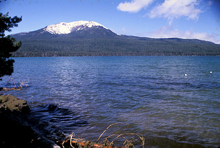
Mt. Bailey over Diamond Lake from south shore picnic area,
Diamond Lake Recreation Area, Oregon
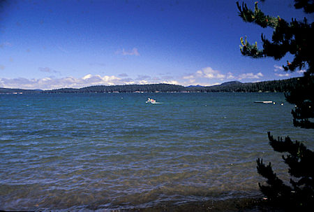
Diamond Lake from south shore picnic area, Diamond Lake Recreation Area, Oregon
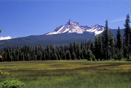
Mount Thielson over meadow at south end of south shore bike path,
Diamond Lake Recreation Area, Oregon
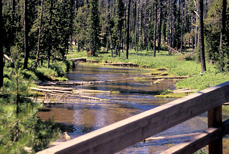
Silent Creek and bridge on bike path, Diamond Lake Recreation Area, Oregon
Drove down the Umpqua River - a Scenic Byway. Stopped at one waterfall that wasn't much. Us Sierra types are kind of jaded about waterfalls <grin>.
The lush forest gets a little old but the river was quite scenic - hard to fully appreciate while driving. Did see some people rafting/kayaking and there were a number of designated take in/out facilities.
Ended up at Roseburg and headed north toward Eugene on I5. Very pretty green country this time of year.
Turned east on Highway 58 and stopped at Salt Creek Falls, second highest in Oregon at 500+feet. It had clouded up so the light wasn't very good for pictures. It was kind of windy and cold too.
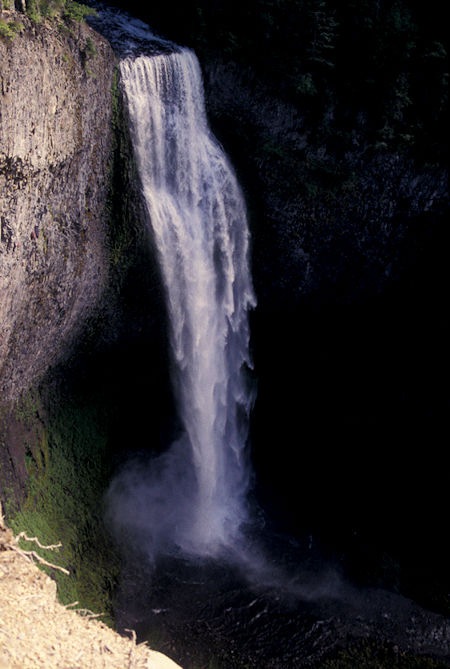
Salt Creek Falls, 2nd highest in Oregon at 500+feet
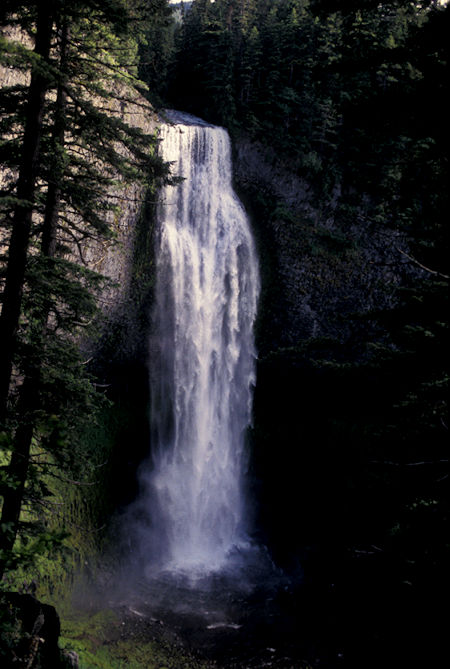
Salt Creek Falls, 2nd highest in Oregon at 500+feet
Drove to Waldo Lake, second largest in Oregon (9.8 square mile).
I was afraid the campgrounds would be full, but the one I'm in has maybe ten of 55 spaces occupied.
Read History Of Waldo Lake.
Water in this lake is very clear, some of the purest in the world according to the Forest Service sign.
Diamond Peak covered with snow is nearby in the Diamond Peak Wilderness. The campgrounds are very nice, set back away from the lake. Boat ramp but only a few boats around - two, sailboats.
A person could have a ball here canoeing on the lake and mountain biking on the 22 mile mostly dirt trail around the lake.
I took a 4.4 mile round trip day hike on part of the round the lake trail. Mosquitoes are out but no too bad. Lots of ponds (picturesque mosquito farms) along the trail.
Waldo Lake Campgrounds: North Waldo Lake - Islet - Shadow Bay
Willamette National Forest has an excellent trip planning website.
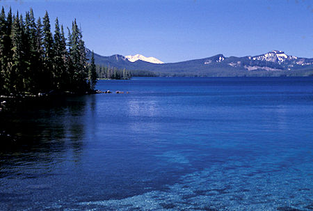
Waldo Lake - Oregon's second largest (9.8 square miles), Diamond Peak on skyline,
Waldo Lake Recreation Area, Oregon
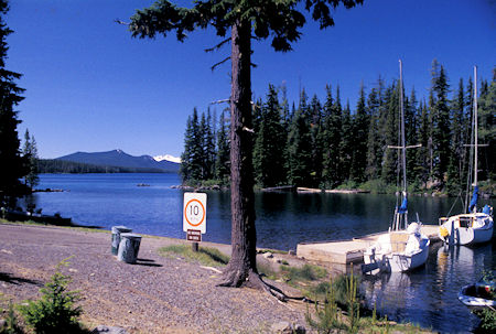
Waldo Lake - Oregon's second largest (9.8 square miles), Diamond Peak on skyline,
Waldo Lake Recreation Area, Oregon
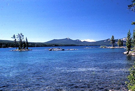
Waldo Lake - Oregon's second largest (9.8 square miles), Diamond Peak on skyline,
Waldo Lake Recreation Area, Oregon
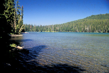
Torrey Lake in Waldo Lake Wilderness, Waldo Lake Recreation Area, Oregon
Friday, July 5, 1996
This is kind of a nice area so I decided to spend several days here. The countryside is forested rolling hills with an occasional forested "peak" - sort of hard for a Sierran to get excited about.
Saturday, July 6, 1996
It's about 6,000 feet here. Got real chilly Thursday night but very pleasant during the day.
I took a ten mile loop hike on Saturday. Mostly rolling hills with little elevation change. Saw five good sized lakes - but once you've seen one of these forested lakes, you've seen them all <grin>.
This is in the Waldo Lake Wilderness just south of Three Sisters Wilderness.
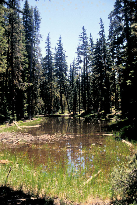
Pond on lake shore trail - Waldo Lake, Waldo Lake Recreation Area, Oregon
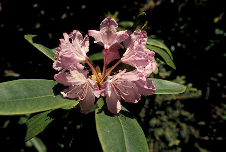
Flower in Waldo Lake Wilderness, Waldo Lake Recreation Area, Oregon
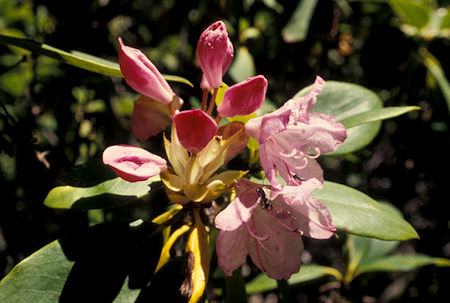
Flower in Waldo Lake Wilderness, Waldo Lake Recreation Area, Oregon


