On August 27-September 4, 1977 myself, Gil Beilke, Mic Mead, Randy Stevenson, Frank Nikolaus, Al Nikolaus and Evelyn Nikolaus backpacked 64 miles in the Wind River Range of Wyoming from Green River Lakes to Elkhart Park. This trip was followed by a trip in Grand Teton National Park.
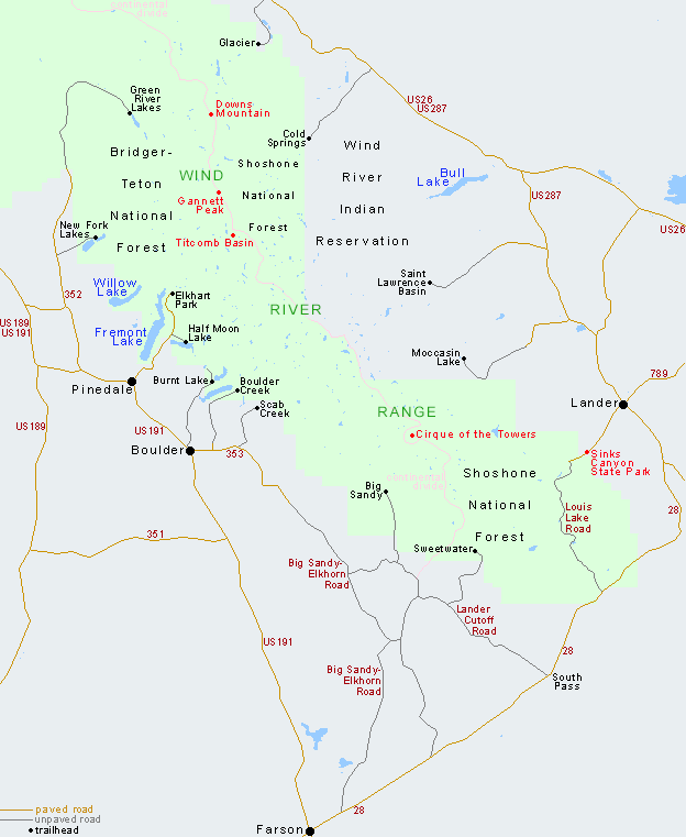
Wind River Range location map
The Wind River Range (or "Winds" for short), is a mountain range of the Rocky Mountains in western Wyoming. The range runs roughly NW–SE for approximately 100 miles.
The Continental Divide follows the crest of the range and includes Gannett Peak, which at 13,809 feet, is the highest peak in Wyoming; and also Fremont Peak at 13,750 feet, the third highest peak in Wyoming.
There are more than 40 other named peaks in excess of 12,999 feet. With the exception of the Grand Teton in the Teton Range, the next 19 highest peaks in Wyoming after Gannett are also in the Winds.
Two large national forests including three wilderness areas encompass most of the mountain range. Shoshone National Forest is on the eastern side of the continental divide while Bridger-Teton National Forest is on the west.
Both national forests and the entire mountain range are an integral part of the Greater Yellowstone Ecosystem. Portions of the east side of the range are inside the Wind River Indian Reservation.
Much of the Wind River Range is in the Bridger Wilderness which extends 80 miles along the Continental Divide, holding the headwaters of the Green River. Home to 7 out of 10 of the world's largest glaciers, the landscape is continuously breathtaking with hundreds of high alpine lakes, glacial cirques and wide sweeping valleys.
The SummitPost.org website has a lot of comprehensive information about the Wind River Range.
Check the Bridger-Teton National Forest website for more information.
We left Lone Pine/Independence evening of August 24 and stopped for the night between Tonopah and Ely. The next day we stopped for the night at Lyman, Wyoming then continued to our trailhead arriving at Green River Lakes about 4 p.m. on Friday, August 26.
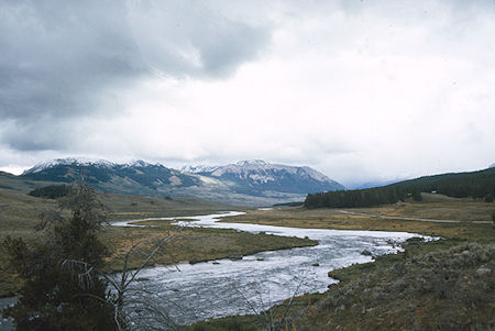
Green River - Wind River Range 1977
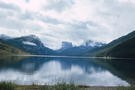
Squaretop Mountain over Green River Lake - Wind River Range 1977
Saturday, August 27, in cloudy but pleasant weather we hiked ten miles of easy graded trail beside the Green River Lakes and Green River to Beaver Park. Great views of Squaretop Mtn. Saw some Moose.
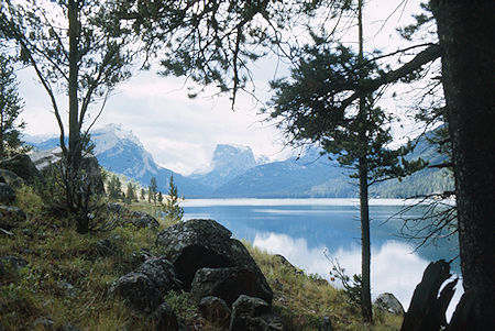
Squaretop Mountain from trail along Green River Lakes - Wind River Range 1977
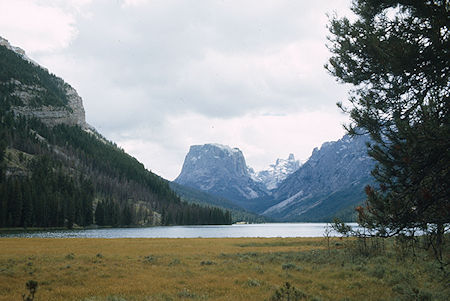
Squaretop Mountain over upper Green River Lake - Wind River Range 1977
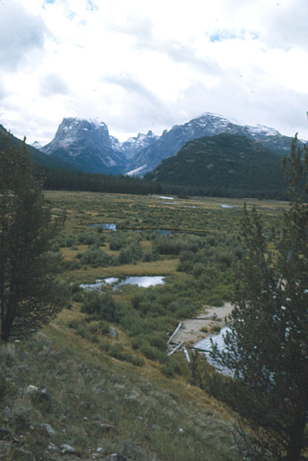
Squaretop Mountain from between Green River Lakes - Wind River Range 1977
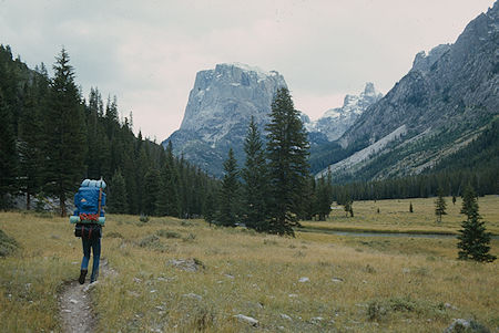
Squaretop Mountain - Wind River Range 1977
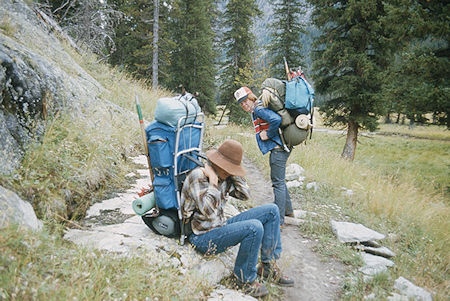
Randy Stevenson and Frank Nickolas take a break - Wind River Range 1977
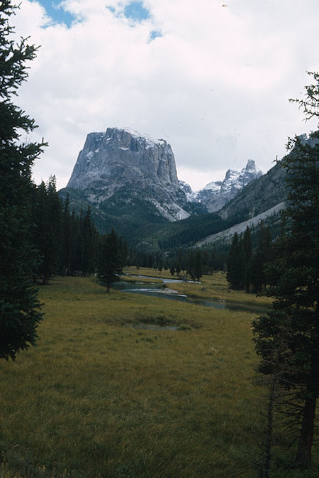
Squaretop Mountain - Wind River Range 1977
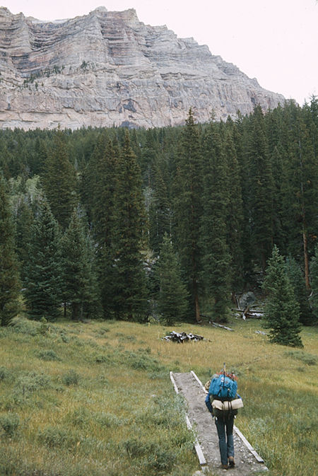
On the trail - Wind River Range 1977
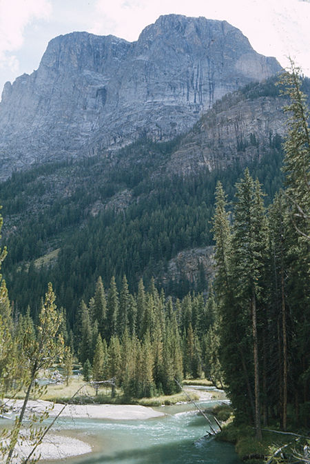
Squaretop Mountain over Green River - Wind River Range 1977
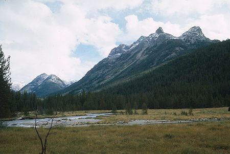
Green River near Beaver Park - Wind River Range 1977
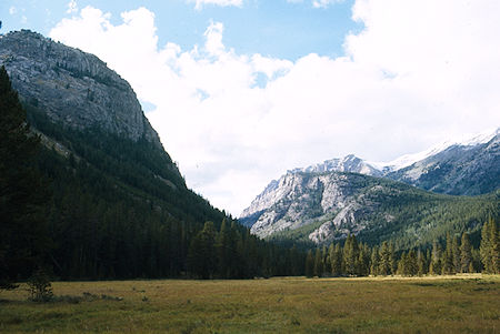
Beaver Park - Wind River Range 1977
On Sunday, August 28 from our nice campsite in Beaver Park all but Evelyn climbed 11,703' Squaretop Mountain in cloudy but mostly pleasant weather. Some snow flurries and cold wind on the ridge and peak. Good route with minimal class 3 in one section. Great views from the route and top even with cloudy weather. Clouds obscured the Continental Divide (Gannett Peak, etc.) but still had good views of Green River Lakes, Beaver Park, etc.
Squaretop Mountain, the most photographed peak in the Wind Rivers, is a remnant of an ancient plateau with the shape of a tree stump. It is perversely appropriate that this elegant form be the pictorial symbol of the range, yet it must be said that Squaretop dominates its scene as no other Wind River peak does.
The 1980 Sierra Club guidebook Climbing and Hiking in the Wind River Mountains lists nine technical and non-technical routes. The most frequented route, and the one we used, ascends broken rock from Granite lake and gains the plateau a half mile south of the summit. The route is easily found from below but is easily missed when descending.
To get to Granite Lake there is an old horse trail (not on any maps) from the Beaver Park area near the bridge crossing the Green River. The trail can be difficult to find. The sign mentioned below is apparently no longer there and the mentioned 1953 fire damage is overgrown.
Finis Mitchell's Wind River Trails book, published in 1975, has guidance that was reasonably accurate for our trip. He had decades of experience in the Wind River Range at the time. Google his name for more information. The book was re-published in 1999 after his death and is available on Amazon as of May 2020.
"Granite Lake Trail – A short distance after crossing the bridge a faint trail takes off to the right with a sign showing the Granite Lake Trail. This trail, an old horse trail, is very difficult to follow unless you’ve had a lot of mountain experience. In 1953 there was a big forest fire here. It burnt the whole side of the mountain and it's still the mess that it was when the fire went out." – Finis Mitchell in Wind River Trails
"Squaretop Mountain Route – If you want to climb Square Top, after you cross the foot bridge on the Green River you go about 150 feet out into the woods and you come into the upper end of a big park. You go over to the edge of the timber and follow it down until you get down to and beyond the forest fire and downed timber. Then there is a draw comes right down from Granite Lake to the river, with green live timber in it. You work your way up the draw, past the burned area and pick up the old horse trail and go on to the lake …" – Finis Mitchell in Wind River Trails
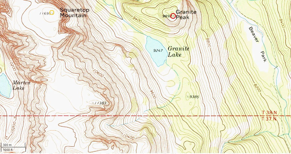
Squaretop Mountain topo map
Climbing Squaretop Mountain in Wyoming
"Squaretop Mountain Route … You go right around the right hand side of the lake to the outlet and cross (no trouble crossing). You go back around the lake part way and take up a little tiny stream that comes off of Square Top. You follow that stream clear up till you get above timberline, crossing a lot of snow. There’s a break in the ledges and you can go clear to the top." – Finis Mitchell in Wind River Trails
"Squaretop Mountain Route … When you get out on top, then in order to look back down to Green River Lakes (you’re on the rear end of the top) you have to go about a mile and a half over the top to where you can look back down over the lakes. From the main trail it’s a couple of miles to Granite Lake, then about another mile to the top. On the top you don’t have to go clear to the front to get a good view. You can stay along the right side and go out on points where you can see the river and your trail all the way up. You can turn around when you get on top and see clear back to Gannett Peak and a lot of the glaciers. You’re at 11,695 feet, about three and a half thousand feet above the river …" – Finis Mitchell in Wind River Trails
The following shows the GPS recorded route up and down Squaretop Mountain in 2011 from Granite Lake by a party of three plus dog. Video by Lloydbthree.
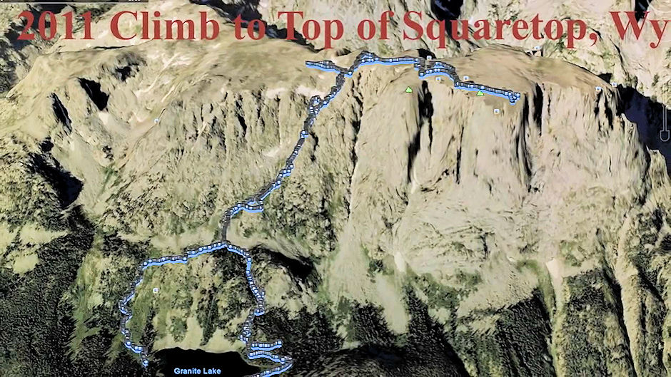
Route up Squaretop Mountain from Granite Lake 2011 by Lloydbthree
The following shows a GPS recorded route up to the top of Squaretop Mountain from Granite Lake.
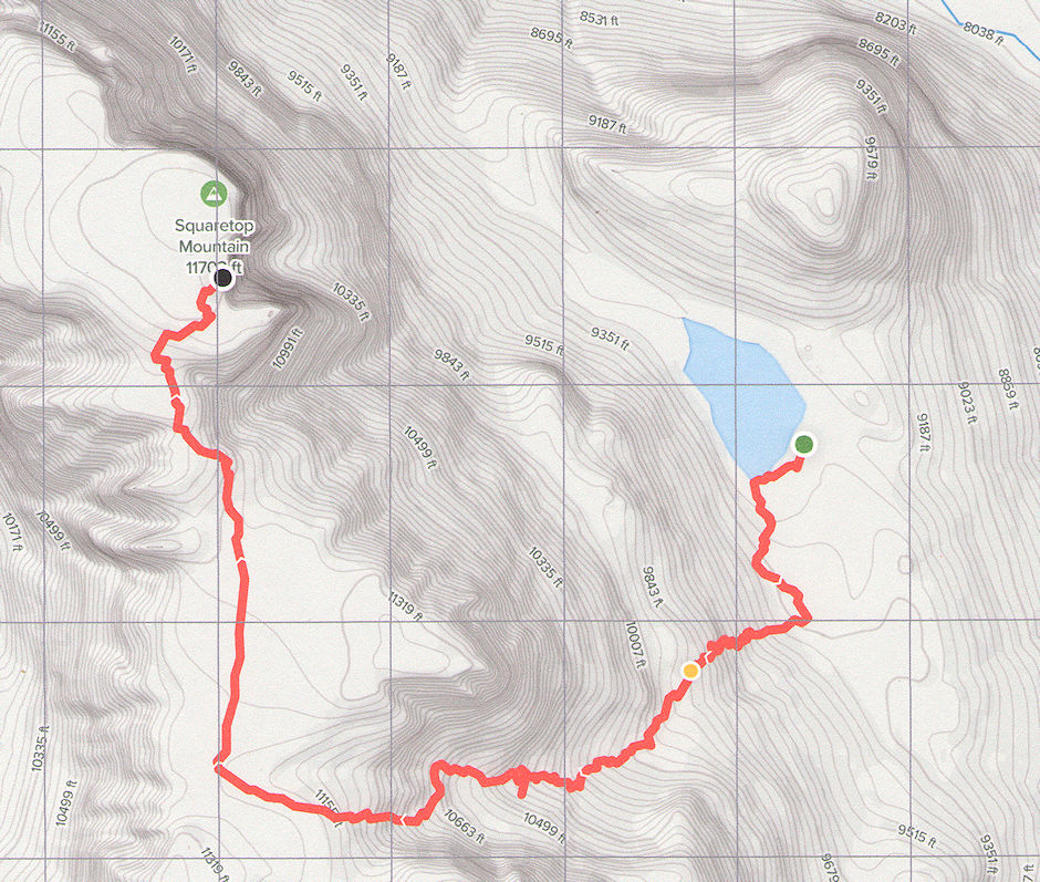
Route from Granite Lake to top of Squaretop Mountain
The following is a route description from 2019 on summitpost.org: From the Green River Lakes trailhead walk the highline trail for 11 miles until you reach Beaver Park. When you reach Beaver Park many people stop for the night and camp there before they make their accent. From Beaver Park walk the left edge of the meadow north and you will find a trail. Follow that trail up 1500 feet elevation gain to Granite lake. From there take a left when the trail merges then bushwhack up to a bench. From there the trail should be visible in the hillside. When you find the trail going up keep on it until you reach the saddle which is about 1500 feet higher then granite lake. When you reach the saddle follow the trail around a rock ledge. After you get above the rock ledge you will see why its called Squaretop because its just flat on top. Continue north until you reach the highest point and then you've made it.
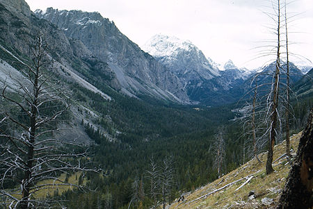
View toward 3 Forks Park from route to Squaretop Mountain - Wind River Range 1977
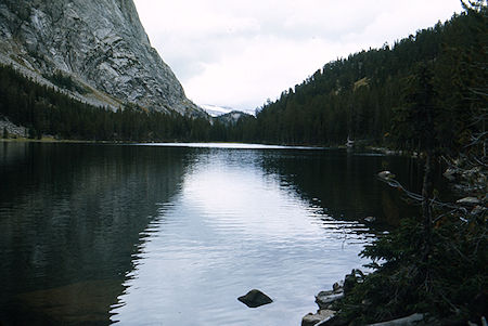
Granite Lake on way to Squaretop Mountain - Wind River Range 1977
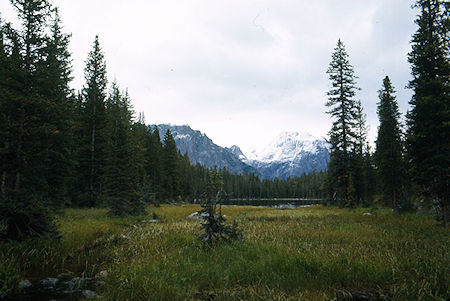
Granite Lake outlet on way to Squaretop Mountain - Wind River Range 1977
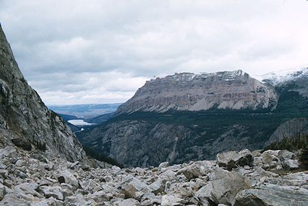
Green River Lakes from 10,000' on Squaretop Mountain route - Wind River Range 1977
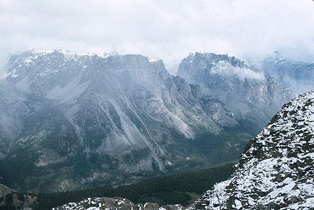
Looking north over Beaver Park from route on Squaretop Mountain
Wind River Range 1977
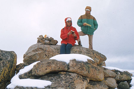
Al Nickolas and Mic Mead on top of Squaretop Mountain - Wind River Range 1977
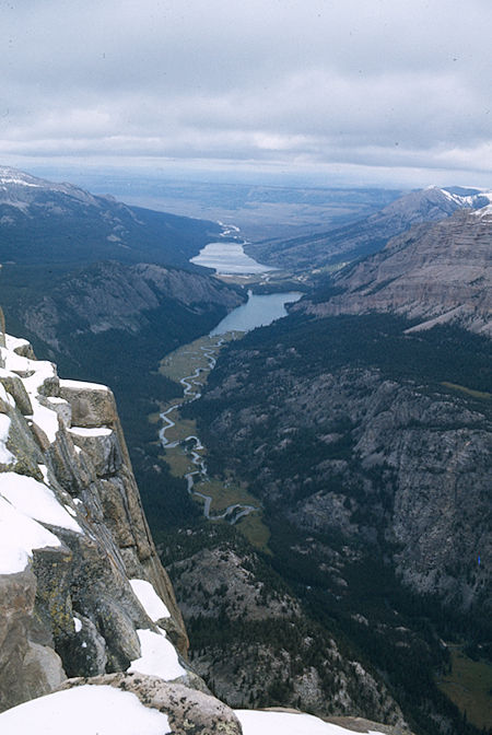
Green River Lakes from top of Squaretop Mountain - Wind River Range 1977
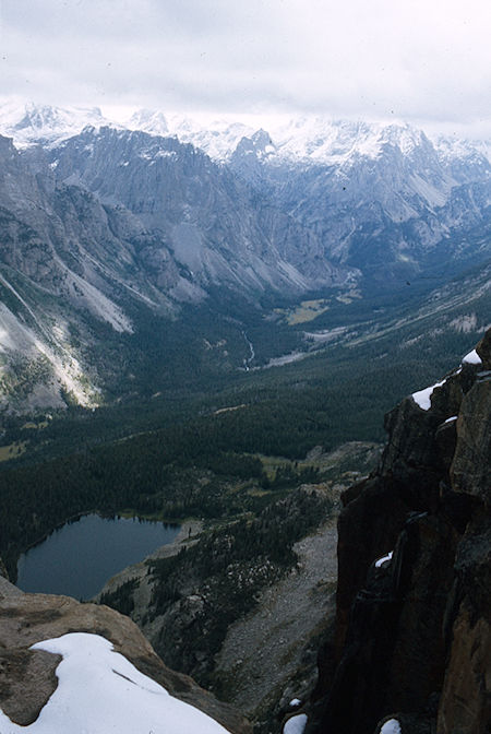
Granite Lake, Beaver Park, Three Forks Park from top of Squaretop Mountain
Wind River Range 1977
All of the above appears to describe more than one route. I'm not sure which one we probably took.
Due to the questionable weather, on Monday we moved only four miles to Trail Fork Park. The ford of Trail Creek was interesting. The campsite was nice.
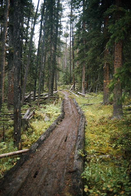
The trail to Three Forks Park - Wind River Range 1977
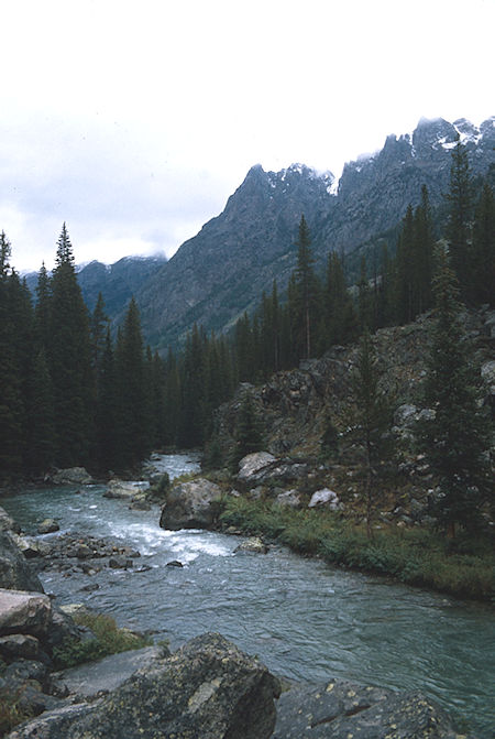
Green River on the way to Three Forks Park - Wind River Range 1977
Tuesday we headed up the trail to Vista Pass where the views were outstanding with just the right sky and clouds. After lots of pictures on the pass, continued down into Green River canyon and then up along the now small river. After crossing the river (now a creek) a short section of trail was wiped out by slides but no real problem to negotiate. On arrival at Cube Rock Pass discovered that Frank had left a climbing rope back in camp so he set out for the six mile round trip with a day pack.
At the same time the wind and clouds increased and the weather started moving in. Frank made it round trip in about 2 hours and as we headed over the pass to Peak Lake it started snowing. We continued over Shannon Pass in a light blizzard and continued in foul weather to Lower Jean Lake where Gil and Randy had established camp. A new miniblizzard blew in as we set up camp. All moved into Don's 4 man tent to cook supper and warm up.
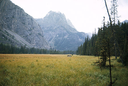
Three Forks Park - Wind River Range 1977
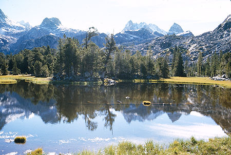
Vista Pass - Wind River Range 1977
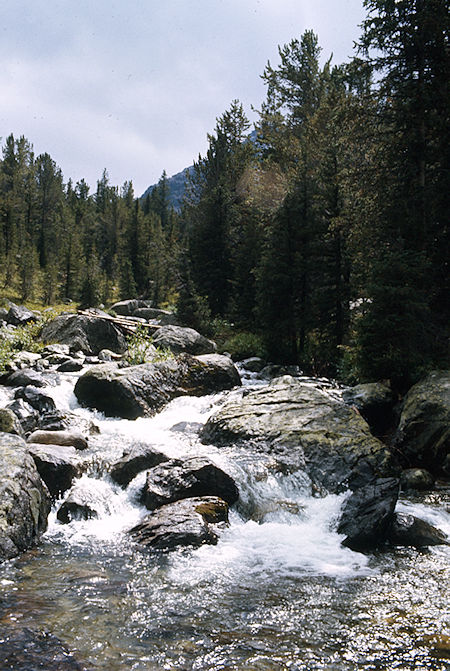
Trail Creek - Wind River Range 1977
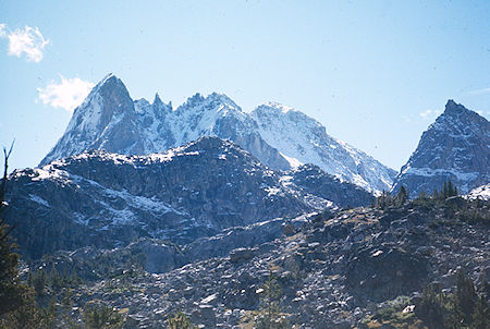
View from Vista Pass - Wind River Range 1977
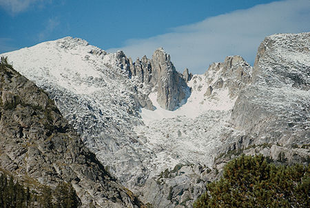
View from Vista Pass - Wind River Range 1977
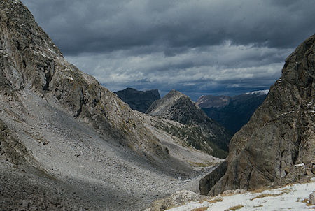
Green River Canyon at Cube Rock Pass - Wind River Range 1977
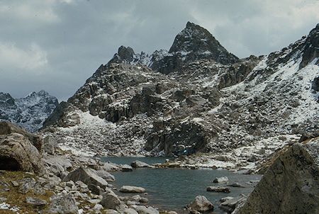
Dale Lake at Cube Rock Pass - Wind River Range 1977
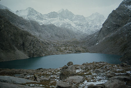
Peak Lake - looking north - Wind River Range 1977
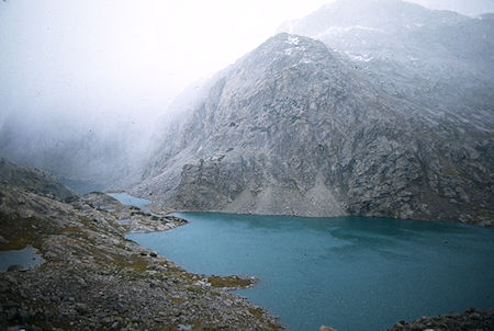
Looking west over Peak Lake - Wind River Range 1977
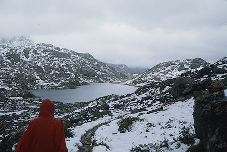
Upper Jean Lake - Wind River Range 1977
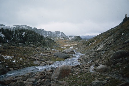
Below upper Jean Lake - Wind River Range 1977
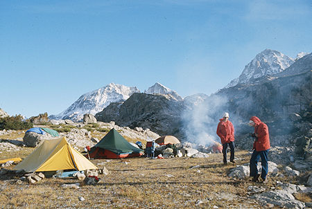
Camp at Lower Jean Lake - Wind River Range 1977
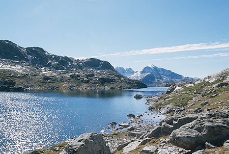
Lower Jean Lake - Wind River Range 1977
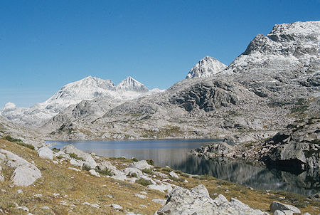
Lower Jean Lake - Wind River Range 1977
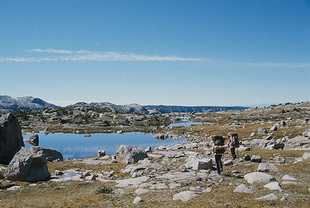
On the trail below Jean Lake - Wind River Range 1977
Wednesday morning it was 18 degrees with 1/4 inch of ice on the lakelet nearby. BUT, it was sunny and clear so we dried everything out before proceeding to Fremont Crossing for lunch, then via a short cut trail to Island Lake. (Al and Evelyn missed the shortcut turnoff and put in an extra mile.) From Island Lake we continued to the Indian Pass Trail Junction with Titcomb Basin Trail and found a nice sheltered campsite nearby.
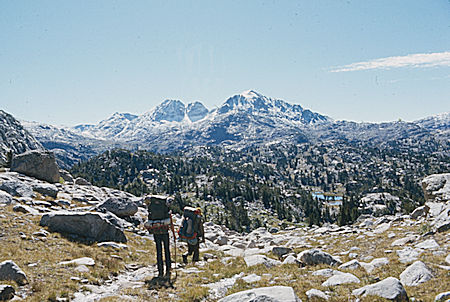
On the way to Fremont Crossing - Wind River Range 1977
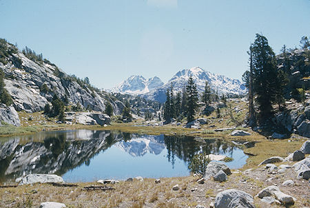
Near Fremont Crossing - Wind River Range 1977
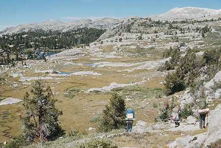
Descending to Fremont Crossing - Wind River Range 1977
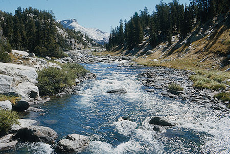
At Fremont Crossing - Wind River Range 1977

Fremont Junction, Island Lake, Indian Pass, Elephant Head - Wind River Range 1977

Island Lake - Wind River Range 1977
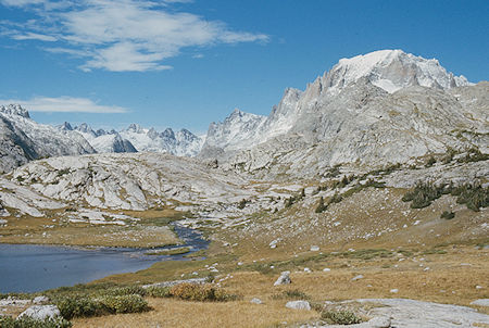
Mount Woodrow Wilson and (Gannett Peak) at head of Titcomb Valley and Fremont Peak
Wind River Range 1977
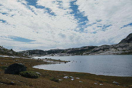
Lake at Indian Pass-Titcome trail junction - Wind River Range 1977
During the night it snowed about 3 inches but sky was clear in the morning. Al and Evelyn took it easy around camp and nearby while the rest of us headed up toward Indian Pass. Frank turned back before the pass but the rest of us slogged through about a foot of snow to the 12,000 foot pass. Gil climbed a nearby ridge for pictures. We then returned to camp - finding much of the snow had melted during the day.
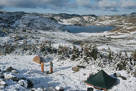
Camp on Indian Basin Trail - Wind River Range 1977
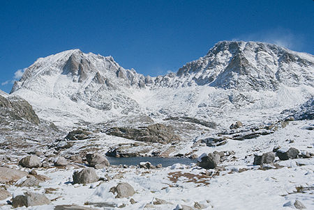
Indian Basin - Fremont and Jackson Peaks - Wind River Range 1977
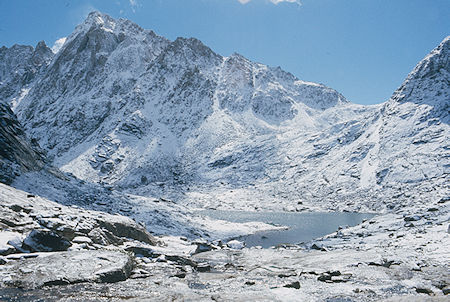
Indian Pass, Indian Basin - Wind River Range 1977
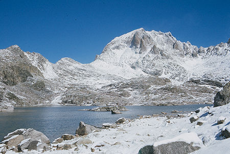
Fremont Peak, Indian Basin - Wind River Range 1977
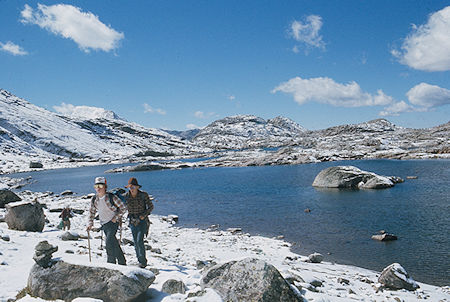
Frank Nickolas and Randy Stevenson in Indian Basin - Wind River Range 1977
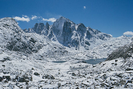
Indian Basin - Wind River Range 1977
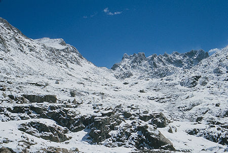
Indian Pass - Wind River Range 1977
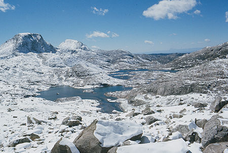
Indian Basin - Wind River Range 1977
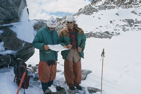
Randy Stevenson and Mic Mead at Indian Pass - Wind River Range 1977
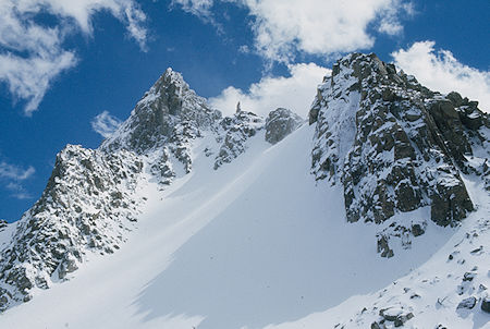
Above Indian Pass - Wind River Range 1977

Looking east from Indian Pass into the Indian Reservation - Wind River Range 1977
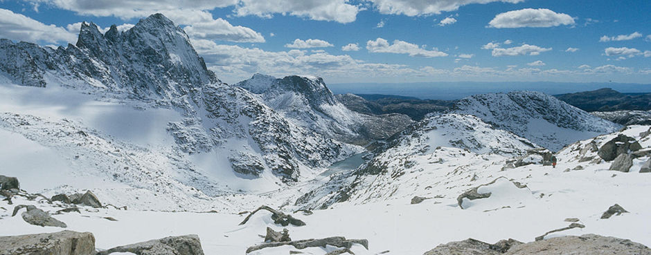
Looking west from Indian Pass back toward camp - Wind River Range 1977
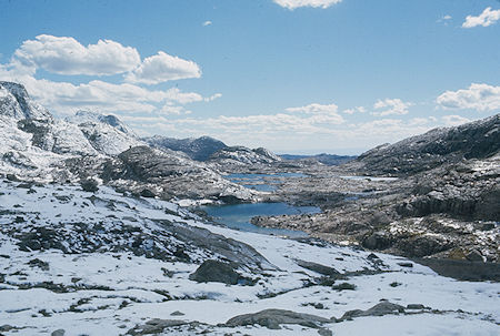
Indian Basin - Wind River Range 1977
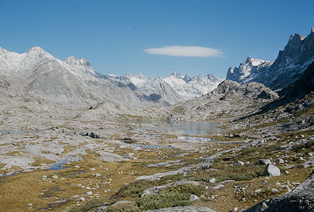
Entering Titcomb Basin - Wind River Range 1977
Friday Randy and Frank took it easy around camp - Randy climbed a nearby peak. Gil headed up the Titcomb Basin Trail and climbed Dinwoody Pass and Miriam Peak for views of Gannett Peak. Mic and I headed up the Titcomb Basin Trail - took off to Mistake Lake and eventually met Gil near the head of the basin as he was descending. Gil returned via the Mistake Lake route while Mic and I followed the lakeside trail.
Meanwhile Al and Evelyn had come up the trail and met Gil near Mistake Lake and returned that route. Near camp Mic and I made a side trip to nearby lakes to see cascades, etc.
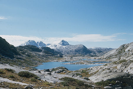
View south from Titcomb Basin - Wind River Range 1977
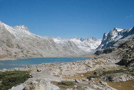
Titcomb Lakes - Wind River Range 1977
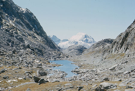
View south from Mistake Lake - Wind River Range 1977
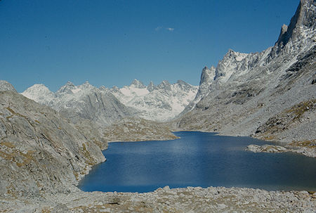
Mistake Lake - Wind River Range 1977
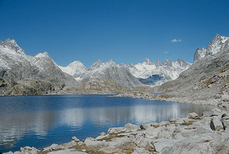
Mistake Lake - Wind River Range 1977
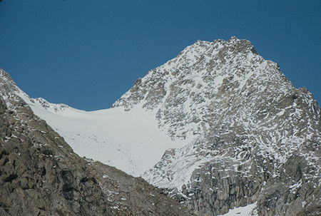
View from Mistake Lake - Wind River Range 1977
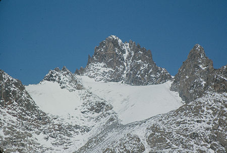
Mount Woodrow Wilson from Mistake Lake - Wind River Range 1977
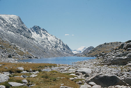
View south over Mistake Lake - Wind River Range 1977
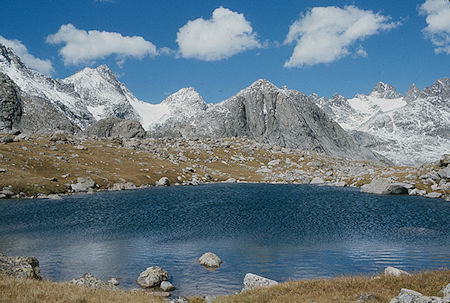
Lakelette north of Mistake Lake - Wind River Range 1977
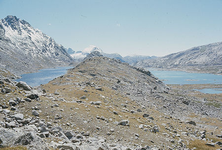
Mistake Lake (left) and Titcomb Lake (right) - Wind River Range 1977
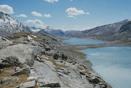
Titcomb Lakes - Wind River Range 1977
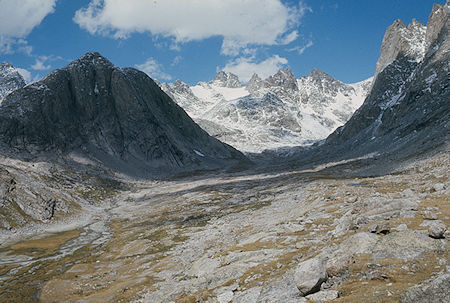
Upper Titcomb Basin - Wind River Range 1977
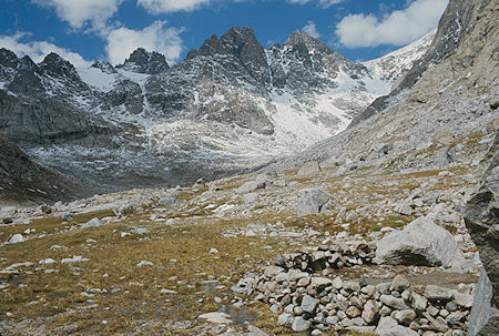
A campsite in Upper Titcomb Basin - Wind River Range 1977
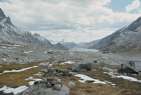
A campsite in Upper Titcomb Basin - Wind River Range 1977
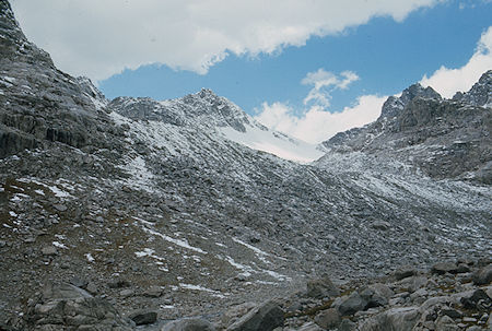
Knapsack Pass from Upper Titcomb Basin - Wind River Range 1977
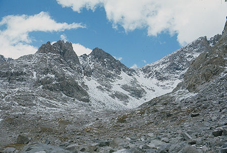
Dinwoody Pass - Wind River Range 1977
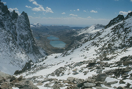
Titcomb Lakes from Dinwoody Pass by Gil Beilke - Wind River Range 1977
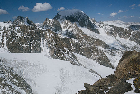
Gannett Peak from Dinwoody Pass by Gil Beilke - Wind River Range 1977
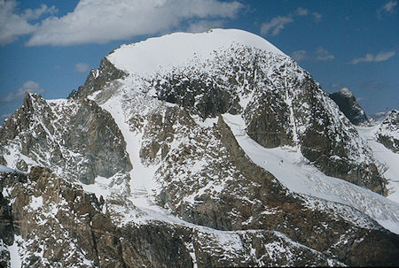
Gannett Peak from Dinwoody Pass by Gil Beilke - Wind River Range 1977
Gannett Peak is the highest mountain peak in Wyoming at 13,809 feet. It rests on the boundary between Bridger and Fitzpatrick Wilderness's offering mountaineers a great and memorable challenge. With elevations ranging above 13,000 feet, winter weather is always just a breath away, the combination of elevation and potential cold working together to create a truly wild feeling throughout the Wilderness.
The mountain slopes are located in both Bridger-Teton National Forest and Shoshone National Forest. 600 miles of trails await hikers and horseback riders who wish to temporarily lose themselves in this landscape of granite and endless hidden gems of lakes and creeks.
Gannett Peak was officially named during 1906, in honor of Henry Gannett. Gannett had been a Chief Geographer for the United States Geological Society as well as one of the founding members of the National Geographic Society. During his lifetime, Gannett was well-known for his topographical work and in doing so became regarded as the "Father of the Quadrangle."
During 1890, he was responsible (in partnership with Thomas Corwin Mendenhall) for helping establish the United States Board on Geographic Names, which started creating official names for locations within the USA.
The first successful summit of Gannett Peak was by Arthur Tate and Floyd Stahlnaker during 1922.
Gannett is the highest peak within what is better known as the Greater Yellowstone Ecosystem and is the highest peak in the Rocky Mountains outside of Colorado. The 896-acre Gannett Glacier, which is likely the largest single glacier in the American portion of the Rocky Mountains, extends across the northern slopes of the mountain. Minor Glacier is situated in the western cirque of the peak while Dinwoody and Gooseneck Glaciers can be found on the southeast side of the mountain.
The SummitPost.org website has a lot of comprehensive information about Gannett Peak.
NOTE: Climbing Gannett Peak had been on our original agenda but stormy weather early in the trip caused us to cancel doing that.
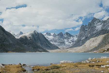
Titcomb Lake Basin, Mount Woodrow Wilson - Wind River Range 1977
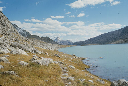
Upper Titcomb Lake - Wind River Range 1977
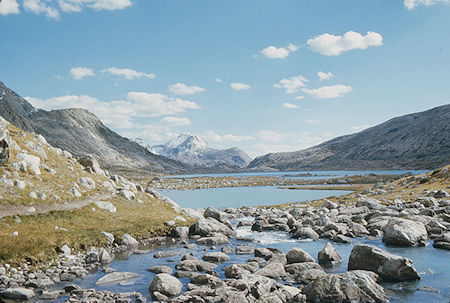
Lower Titcomb Lake - Wind River Range 1977
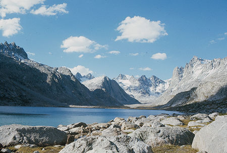
Upper Titcomb Lake - Wind River Range 1977
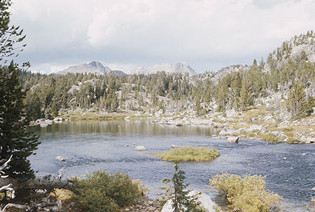
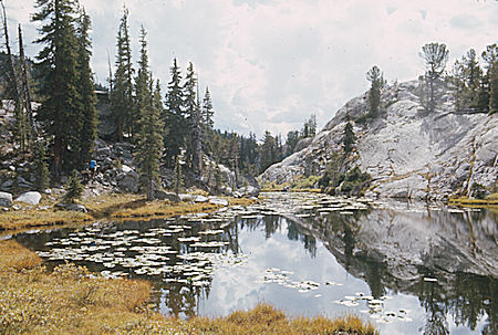
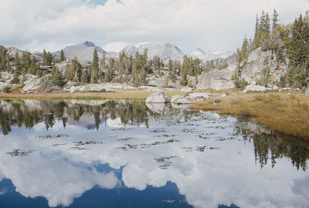
Saturday we packed up camp in great weather and headed past Island Lake, over Lester Pass to Pole Creek and a camp above Pole Creek Crossing and Pole Creek Lakes. A very nice campsite where we saw a short-tailed weasel. Lots of pretty scenery along the route.
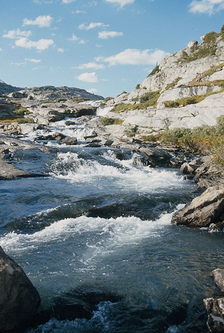
Cascade - Wind River Range 1977
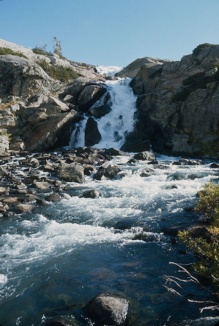
Falls into Island Lake - Wind River Range 1977
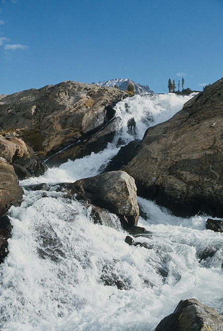
Falls into Island Lake - Wind River Range 1977
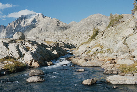
Fremont Peak - Wind River Range 1977
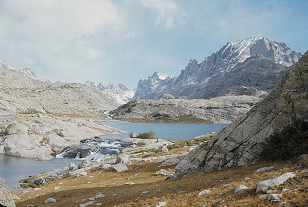
Fremont Peak, Titcomb Basin - Wind River Range 1977
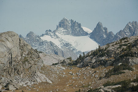
Mount Woodrow Wilson with Gannett Peak behind from Island Lake
Wind River Range 1977
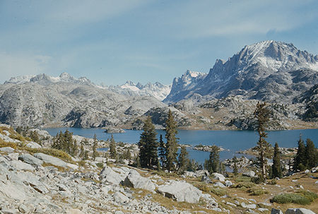
Island Lake - Wind River Range 1977
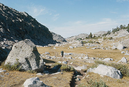
On the trail - Wind River Range 1977
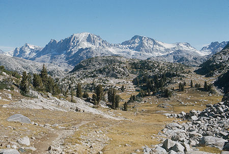
Fremont Peak, Jackson Peak, Indian Pass - Wind River Range 1977
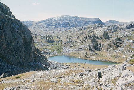
On the trail - Wind River Range 1977
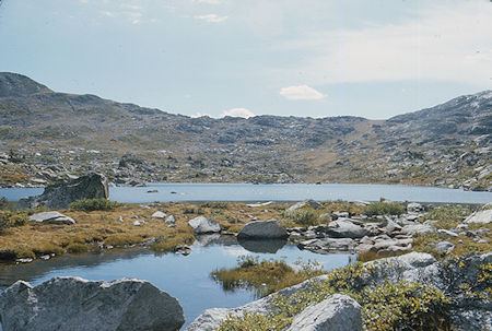
On the way to Lester Pass - Wind River Range 1977
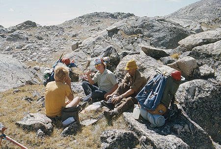
Randy Stevenson, Frank Nickolas and Gil Beilke on Lester Pass - Wind River Range 1977
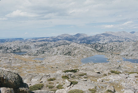
View northwest from Lester Pass - Wind River Range 1977
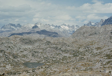
View north from Lester Pass - Wind River Range 1977
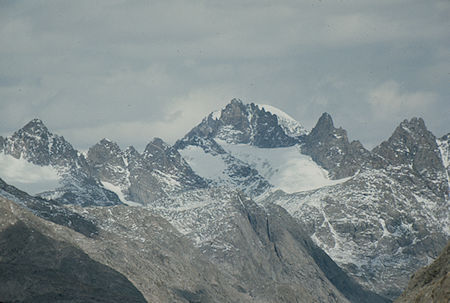
Mount Woodrow Wilson with Gannett Peak behind from Lester Pass
Wind River Range 1977
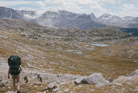
Descending from Lester Pass - Wind River Range 1977
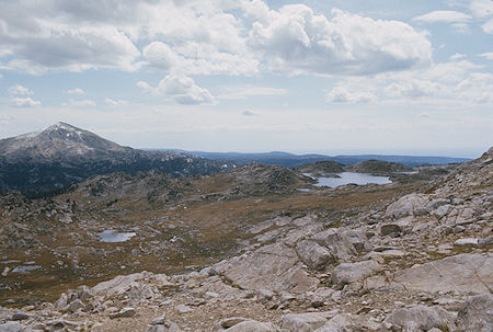
View of lakes from the trail - Wind River Range 1977
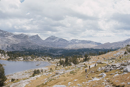
On the trail - Wind River Range 1977
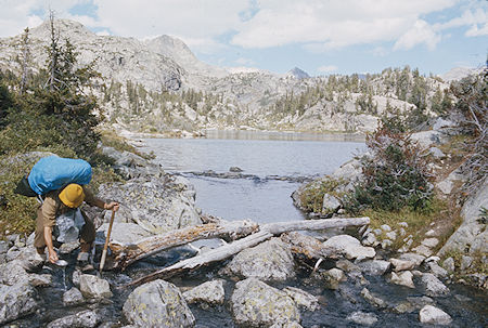
Gil Beilke gets a drink - Wind River Range 1977
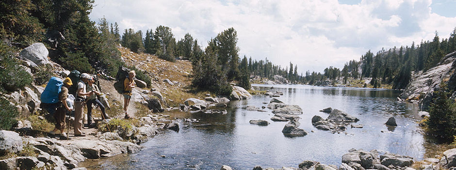
Gil Beilke, Mic Mead, Frank Nickolas and Randy Stevenson take a breather - Wind River Range 1977
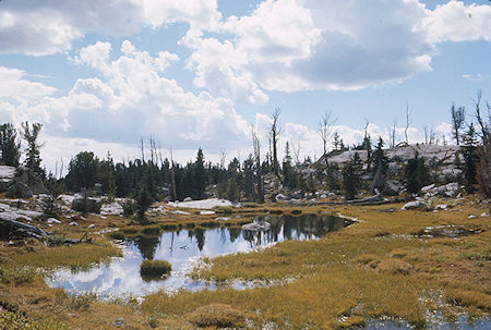
On the trail - Wind River Range 1977
On the trail - Wind River Range 1977
On the trail - Wind River Range 1977
On the trail - Wind River Range 1977
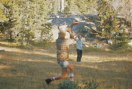
Randy Stevenson and Frank Nickolas, the Frizbee Kids - Wind River Range 1977
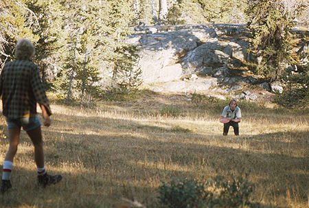
Randy Stevenson and Frank Nickolas, the Frizbee Kids - Wind River Range 1977
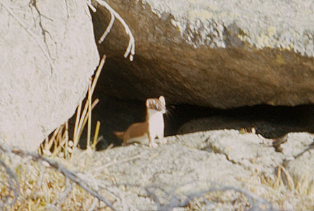
Short Tailed Weasel - Wind River Range 1977
Sunday we got up early and after five waded the crossing while two found a jump across the rocks route, we headed through nice forested country with many lakes to the main trail at Eklund Lake.
Then on to Elkhart Park via Photographer's Point.
I made the parking lot just after 1 p.m. to meet Stan Haye, Robbie, and Gil's wife and find that my car had been broken into.
Lost about $900 worth of stuff belonging to various people but nothing really critical to the next week's trip.
Juggled everything around, packed the car, reported theft to Sheriff in Pinedale and headed for Coulter Bay Campground in Grand Teton National Park where we made camp about 10 p.m. Stopped for supper in Jackson.
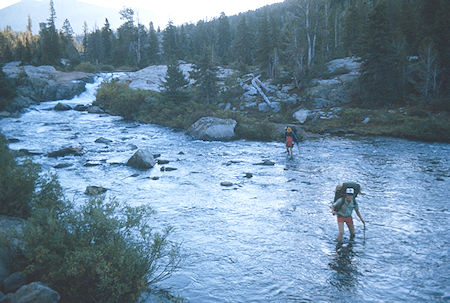
Crossing Pole Creek - Wind River Range 1977
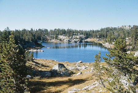
Marys' Lake - Wind River Range 1977
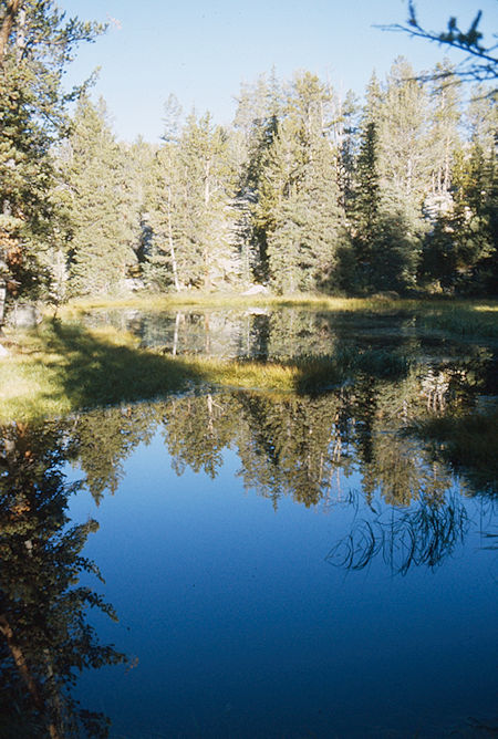
On the trail to Elkhart Park - Wind River Range 1977
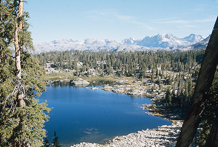
Eklund Lake - Wind River Range 1977
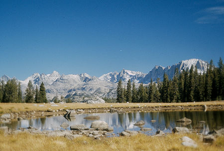
On the trail - Wind River Range 1977

From Photographers Point: Mount Woodrow Wilson, Fremont Peak, Jackson Peak - Wind River Range 1977
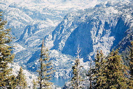
Gorge Lake (bottom) - Wind River Range 1977
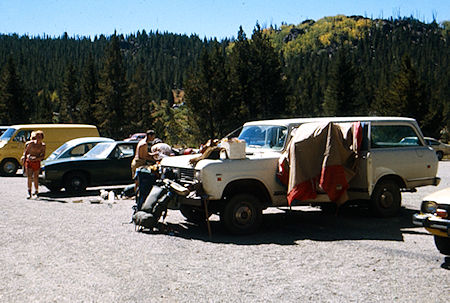
Elkhart Parking Lot - Wind River Range 1977
This Wind River Range backpack was the first part of a trip that ended in Grand Teton National Park. This Trip Details PDF details the planned trip. Some variations were made during the trip. The following maps show the actual trip.
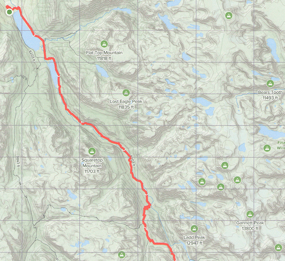
Wind River Trip trail map part one
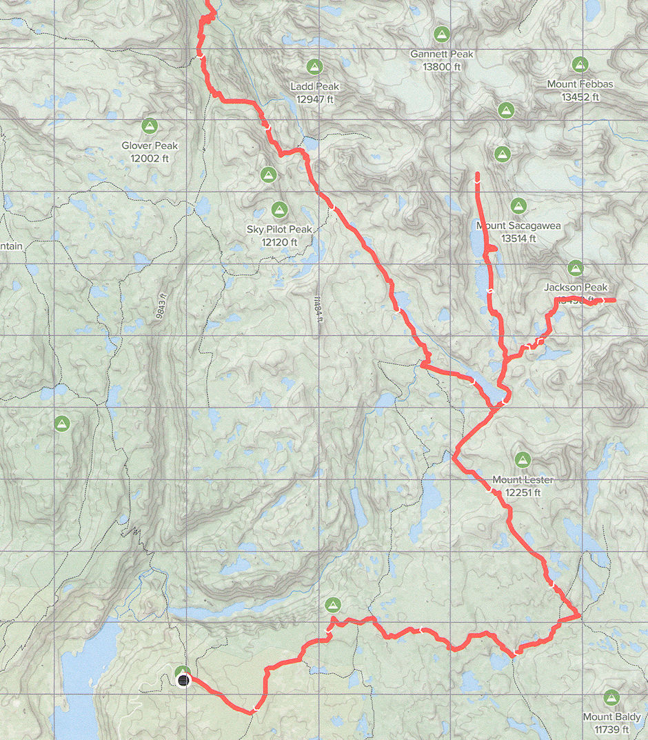
Wind River Trip trail map part two
We then proceeded on a trip in Grand Teton National park.