Statistics
Distance: 8.5 mi r/t
Time: 4h r/t
Elevation Gain in: 2040 ft
Elevation Gain out: 0 ft
Trailhead Elevation: 4300 ft
Maximum Elevation: 6340 ft
Author's Ratings
Usage: Moderate
Difficulty: Moderate
Rating: Pretty good
Attractions
Campsites
Lakes
Meadow
Old Growth
Summit
Views
Maps & Books
USGS Bumping Lake
USGS Spiral Butte
Green Trails #271: Bumping Lake
Green Trails #303: White Pass
100 Hikes in Washington: South Cascades and Olympics
Written by
Bob Rosen
Sep 15, 1999

Little Twin Sisters Lake & Tumac Mountain, William O. Douglas Wilderness, Washington

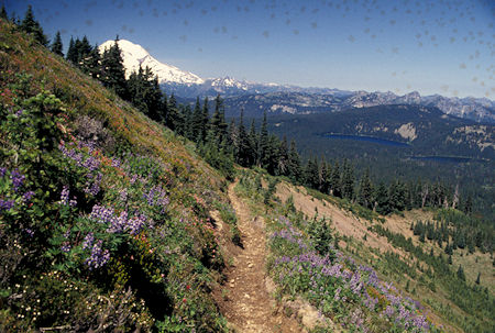
Mt. Rainier and Twin Sister Lakes from Tumac Mountain trail,
William O. Douglas Wilderness, Washington
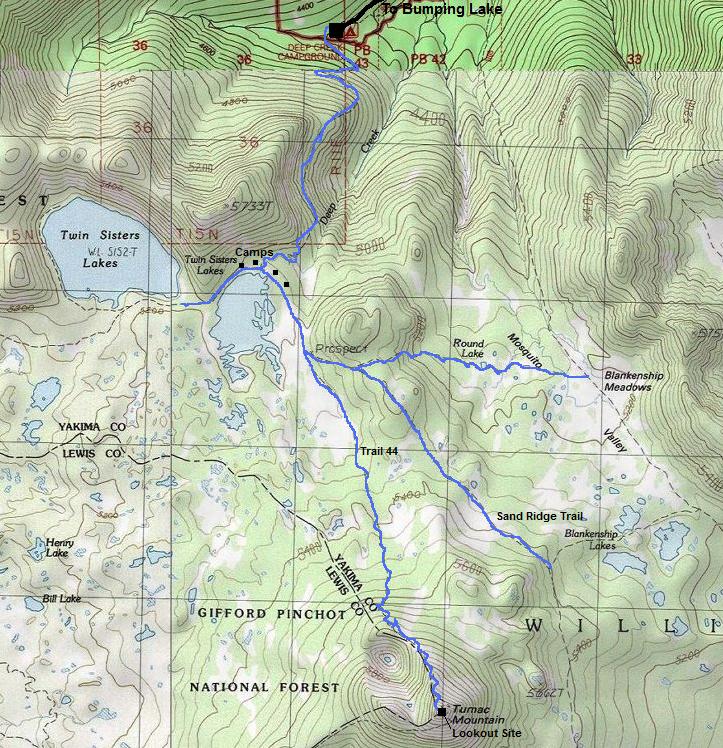
The first two miles on trail #980 to the lakes are mostly along a hillside with limited views.
The trail forks just as you reach the first of the Twin Sisters Lakes. Follow the left branch, Sand Ridge Trail #1104.
To reach the second of the Twin Sister lakes, stay on trail #980.
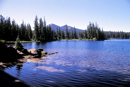
Mosquitos can be very thick in the lakes area in summer. The lakes may be thick with people as well - the "moderate" usage level doesn't apply to this part of the trail.
Trail #1104 follows the lake-shore, then leaves the lake and most hikers behind, passing through meadows with little elevation gain at first, then begins to climb.
In ½ mile, the Tumac Mountain summit trail #44 branches right off trail #1104, which continues south toward Blankenship Meadows.
This stretch travels on exposed mountain-side and the trail consists largely of volcanic rock -- not suitable for horses.
The summit affords 360-degree views of the Blankenship Lakes complex, Mt. Aix, the Goat Rocks, etc.
This region of the William O. Douglas Wilderness is horse country; however, the ratio of hikers to horses on this particular route is generally greater than others in the vicinity (especially those to the south) and so the trails don't have the levels of horse-caused damage suffered by others in the area.
Driving Directions:
Follow highway 410 over Chinook Pass and turn right on Bumping River Road (#1800). Shortly after passing the lake and end of pavement, #1800 forks right. Bear left instead on road #1808 and follow it to its end at Deep Creek Campground.
Trailhead Location is Latitude 46:45.141 N by Longitude 121:21.644 W
Note: positions are PDA (pretty-damn-approximate)