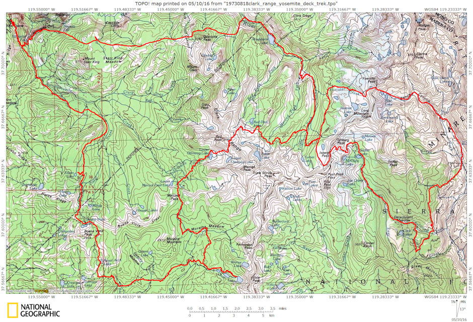
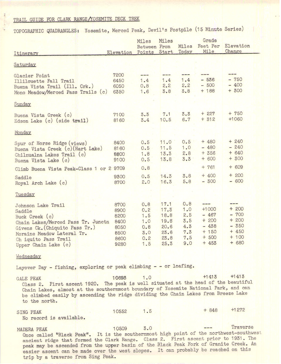
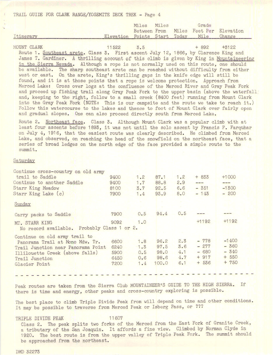
On August 17-September 5, 1973 myself, Gordon Lee (one week), Curt Sayer (one week), Robbie Berube, Brian Twohey, George Brady, Dan Curley and Paul Smith did an 80 mile backpack plus 19 miles peaks & day hikes in the Clark Range of Yosemite National Park.
We left San Diego at various times Friday, August 17, some spent the night at Millerton Lake State Park, and met at Yosemite Trails Pack Station near Fish Camp on Route 41 where we left the supplies to be packed in on August 24 to Lower Ottoway Lake.
We left Gordon's car at Mono Meadows trailhead for his exit at end of first week and proceeded to Glacier Point. After sightseeing and lunch, we hit the trail about noon for an easy 3.8 mile hike to the intersection of Buena Vista Trail and Mono Meadow Trail. Arrived in time to enjoy bathing and fishing in Illilouette Creek.
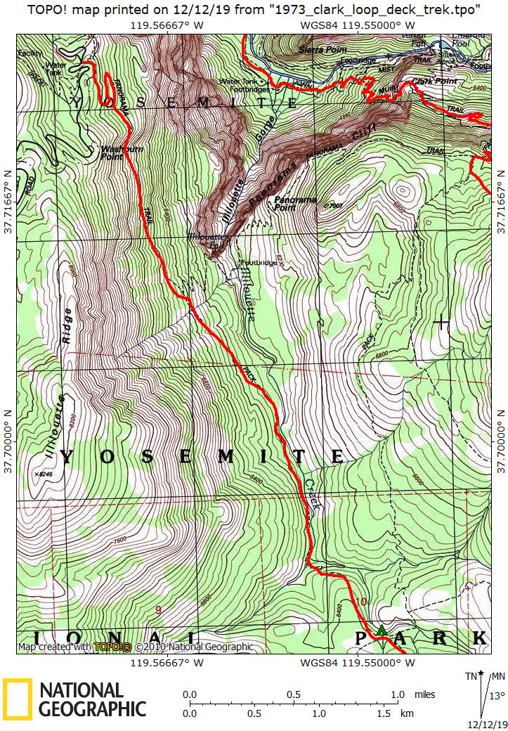
1973 Deck Trek Day 1 map
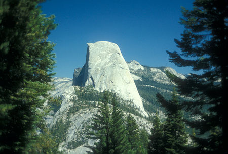
Half Dome from trail near Glacier Point, Yosemite National Park - Aug 1973
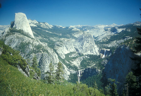
Half Dome, Vernal Falls, Nevada Falls from near Glacier Point
Yosemite National Park - Aug 1973
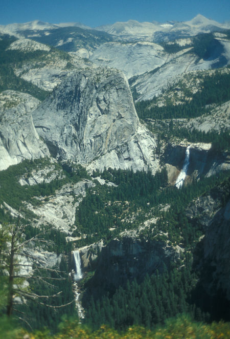
Liberty Cap, Nevada Falls, Vernal Falls from Glacier Point
Yosemite National Park - Aug 1973
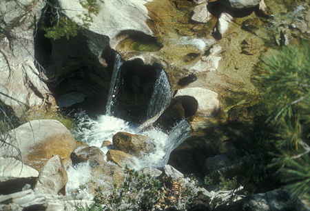
Illilouette Creek - Yosemite National Park - Aug 1973
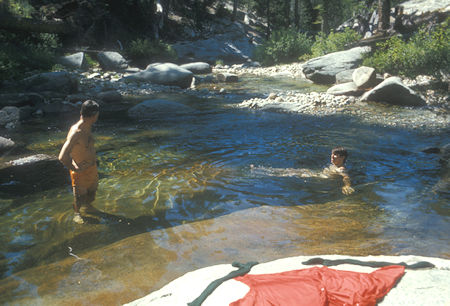
Gordon Lee and Dan Curley enjoying Illilouette Creek
Yosemite National Park - Aug 1973
At 2 a.m. a Black Bear dragged Curt Sayer's pack off and ripped it open. Curt and Gordon were able to scare him off and we only lost some pancake syrup, oatmeal and hash browns. Curt was able to repair his pack the next morning. At 4 a.m. a Brown Bear mother and two cubs showed up and kept things stirred up. They were scared off about 50 feet where they climbed two trees and spent the night - we saw them and chased them off in the morning.
Hanging all our food away from BEARS was now the routine at each camp. Sunday we proceeded 6.7 miles through heavy forest to Edson Lake which is located a short distance off the trail. Edson Lake was a nice camp - no other campers - and the fishermen caught some fish.
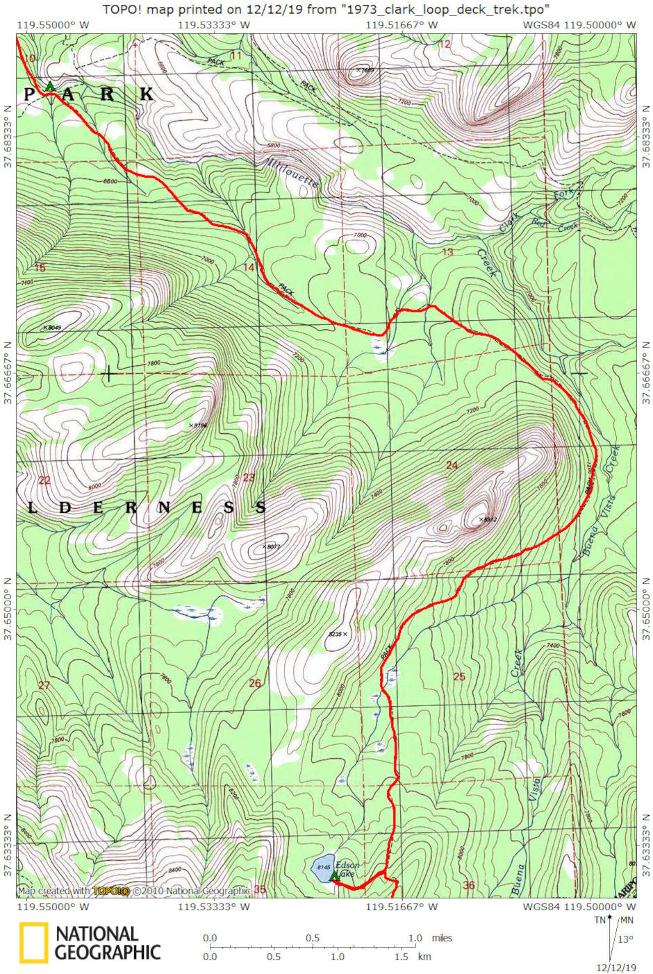
1973 Deck Trek Day 2 map
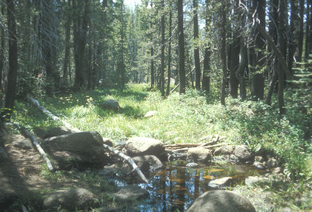
Stream crossing below Edson Lake - Yosemite National Park - Aug 1973
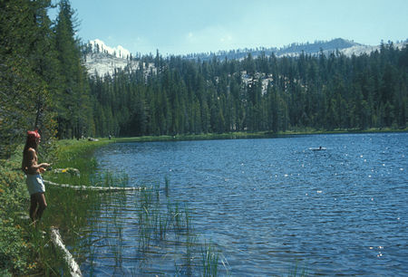
Fishing Edson Lake - Yosemite National Park - Aug 1973
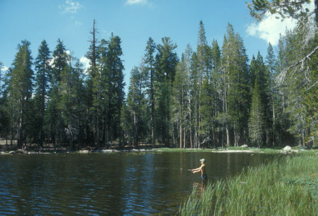
Robbie fishing Edson Lake - Yosemite National Park - Aug 1973
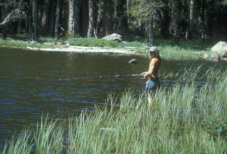
Robbie fishing Edson Lake - Yosemite National Park - Aug 1973
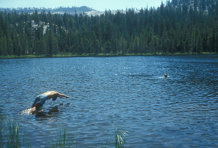
Swimming in Edson Lake - Yosemite National Park - Aug 1973
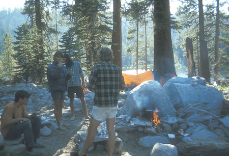
Edson Lake Camp - Yosemite National Park - Aug 1973
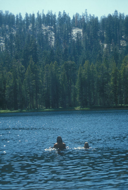
Swimming in Edson Lake - Yosemite National Park - Aug 1973
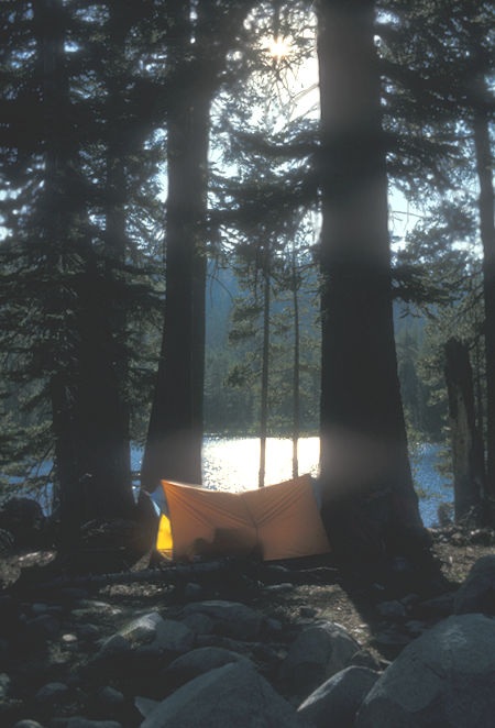
Edson Lake Camp - Yosemite National Park - Aug 1973
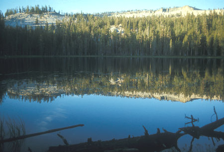
Morning at Edson Lake - Yosemite National Park - Aug 1973
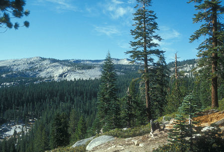
Buena Vista Crest - Yosemite National Park - Aug 1973
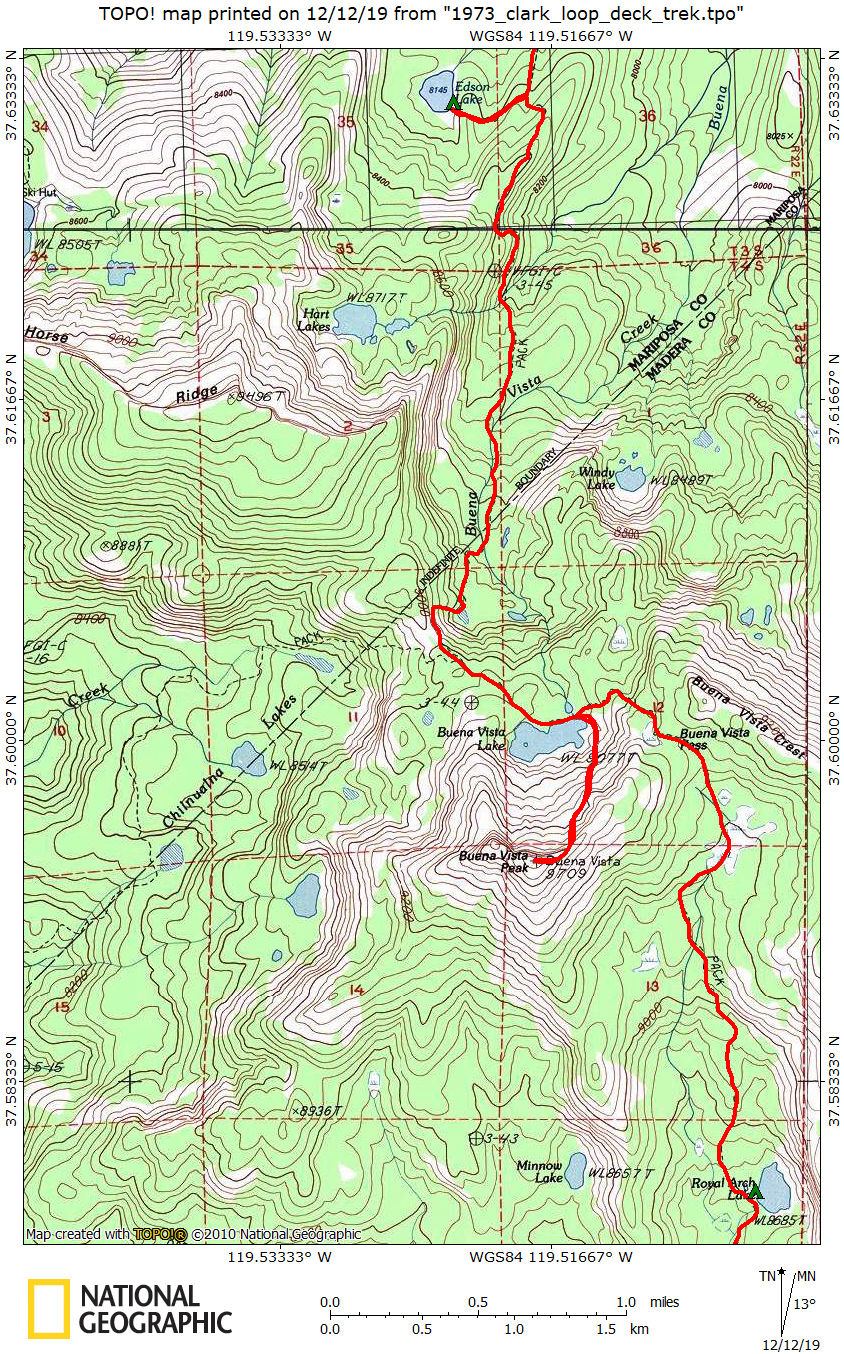
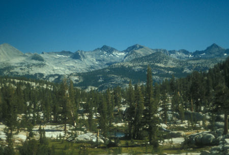
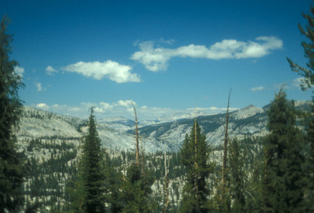
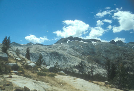
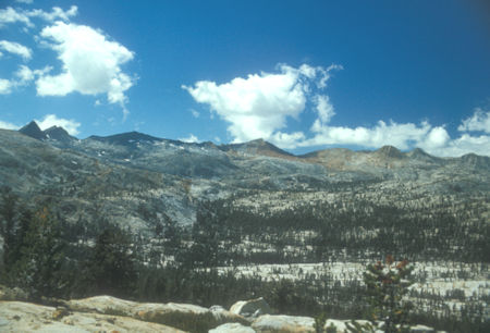
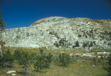
Monday, after plodding several miles through forest we climbed to a saddle on the Buena Vista Crest which offered fine views of the Clark Range from Mt. Starr King south - plus some of the other major mountains of Yosemite. We ate lunch at Buena Vista Lake where the fisherman caught some fish. Dan Curley and later Gordon Lee and I climbed 9714' Buena Vista Peak from the trail before completing the 5.8 mile day at Royal Arch Lake.
Dan climbed a nearby unnamed peak and the fisherman caught fish. Not a lot of people, but all campsites were filled. Cloudy weather threatened s storm that night but none reached us.
1973 Deck Trek Day 3 map
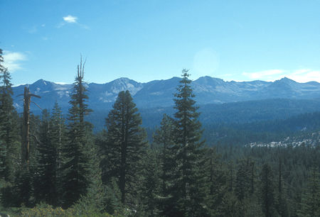
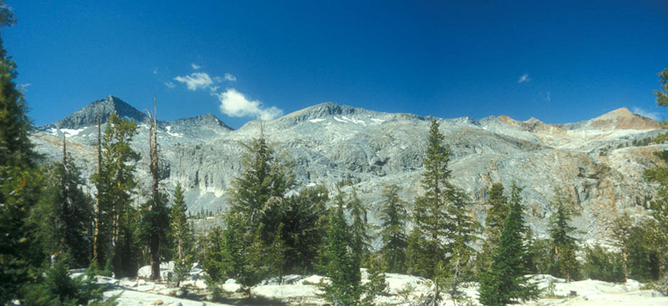
West side of Clark Range - Yosemite National Park - Aug 1973
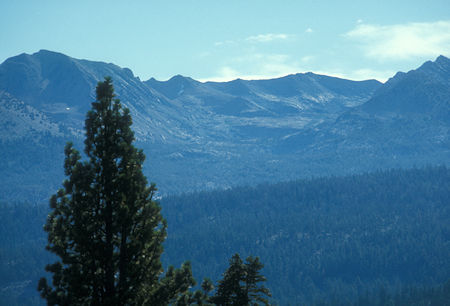
Ottoway Lake Basin from Buena Vista Trail
Yosemite National Park - Aug 1973
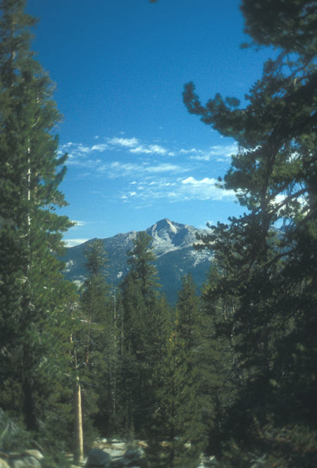
Mount Clark from Buena Vista Trail - Yosemite National Park - Aug 1973
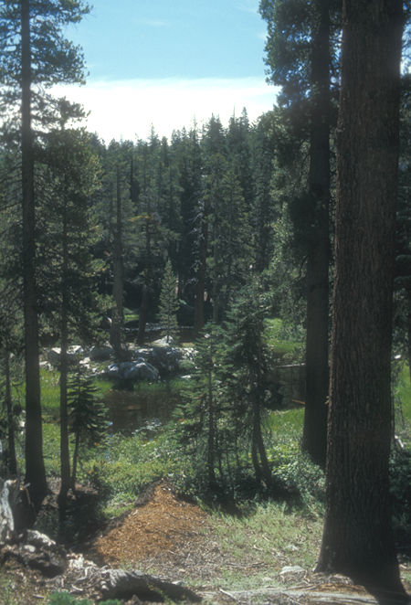
Along the Buena Vista Trail - Yosemite National Park - Aug 1973
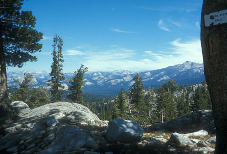
View north from Buena Vista Trail - Yosemite National Park - Aug 1973
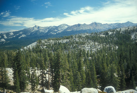
Clark Range from Buena Vista Trail - Yosemite National Park - Aug 1973
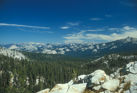
Half Dome, Mount Starr King, Cathedral Range, Clark Peak
Yosemite National Park - Aug 1973
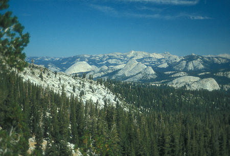
Half Dome, Mount Starr King, Cathedral Range
Yosemite National Park - Aug 1973
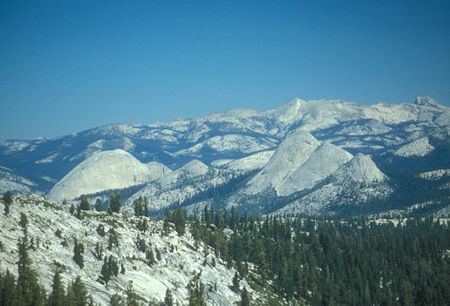
Half Dome, Mount Starr King - Yosemite National Park - Aug 1973
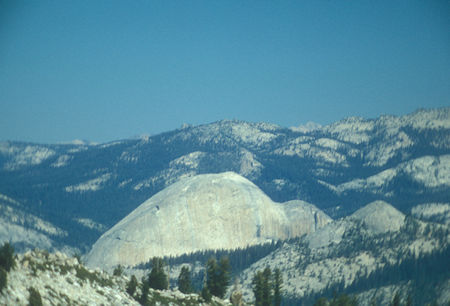
Half Dome - Yosemite National Park - Aug 1973
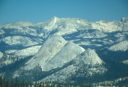
Mount Starr King - Yosemite National Park - Aug 1973
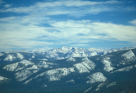
Cathedral Range - Yosemite National Park - Aug 1973
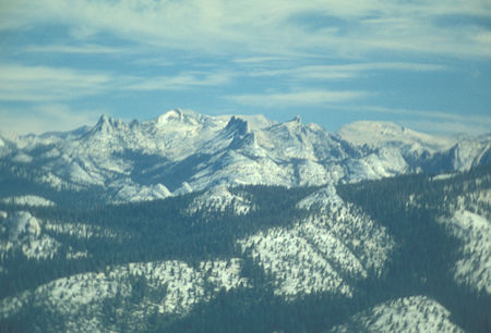
Cathedral Range - Yosemite National Park - Aug 1973
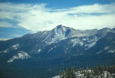
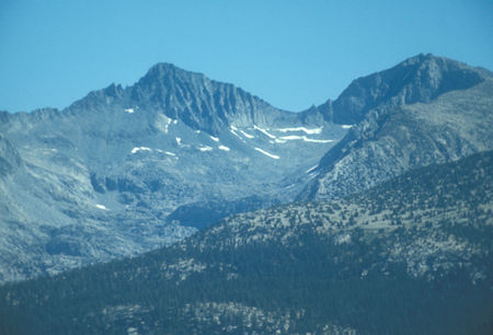
Clark Peak from Buena Vista Trail - Yosemite National Park - Aug 1973
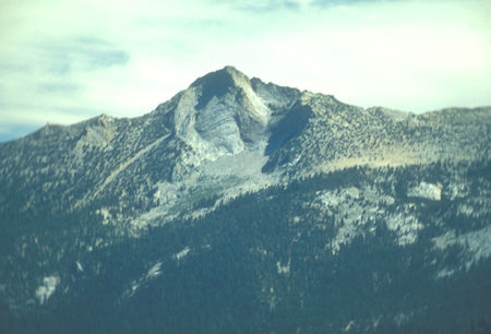
Clark Peak from Buena Vista Trail - Yosemite National Park - Aug 1973
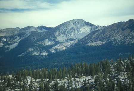
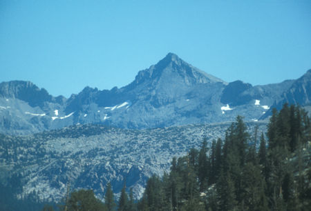
Gray Peak from Buena Vista Trail - Yosemite National Park - Aug 1973
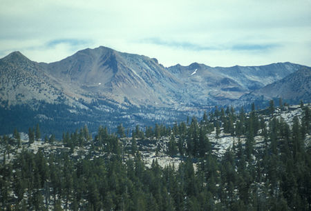
Red Peak from Buena Vista Trail - Yosemite National Park - Aug 1973
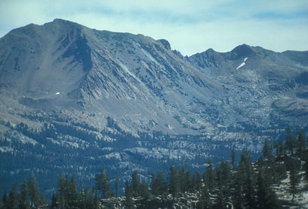
Red Peak from Buena Vista Trail - Yosemite National Park - Aug 1973
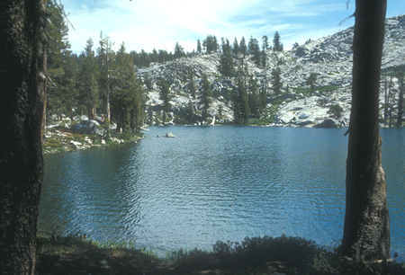
Buena Vista Lake - Yosemite National Park - Aug 1973
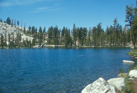
Buena Vista Lake - Yosemite National Park - Aug 1973
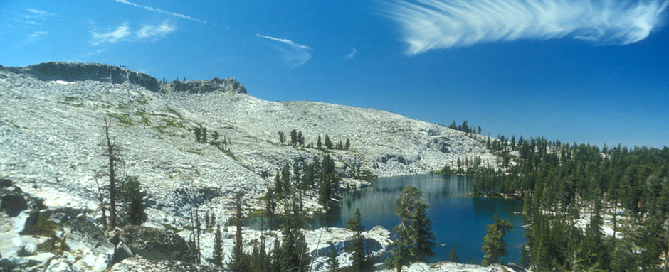
Buena Vista Peak and Lake - Yosemite National Park - Aug 1973
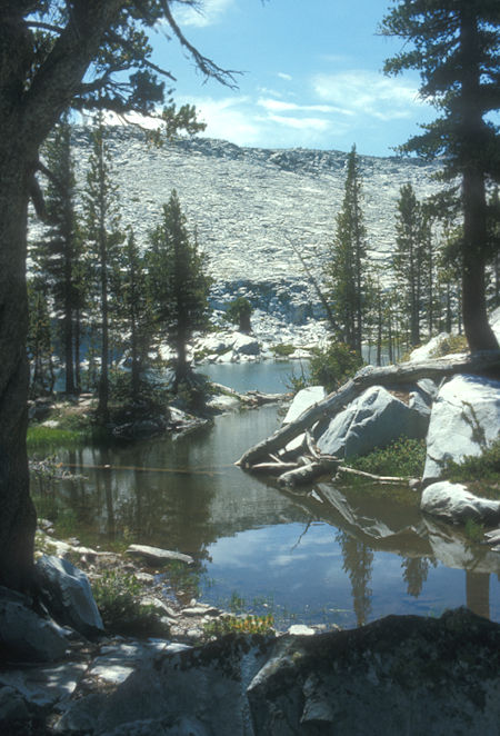
Buena Vista Lake outlet - Yosemite National Park - Aug 1973
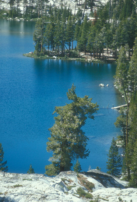
Buena Vista Lake - Yosemite National Park - Aug 1973
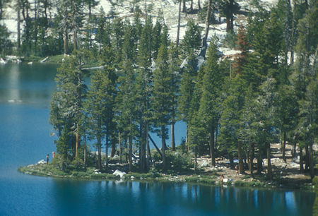
Buena Vista Lake - Yosemite National Park - Aug 1973
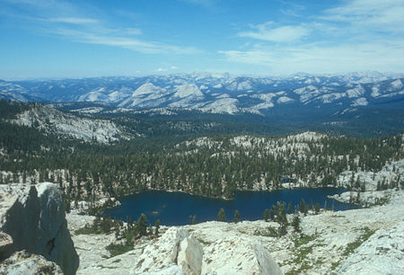
Half Dome, Mount Starr King, view north of Buena Vista Lake and Peak
Yosemite National Park - Aug 1973
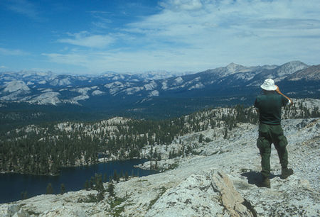
Half Dome, Mount Starr King, Clark Peak, Buena Vista Lake from
Buena Vista Peak, Gordon Lee - Yosemite National Park - Aug 1973
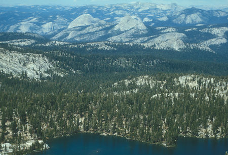
Half Dome, Mount Starr King over Buena Vista Lake from
Buena Vista Paek - Yosemite National Park - Aug 1973
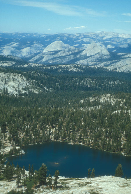
Half Dome, Mount Starr King over Buena Vista Lake from Buena Vista Paek
Yosemite National Park - Aug 1973
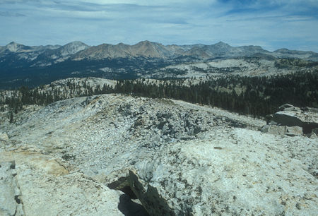
Along Buena Vista Creat to Clark, Gray & Red Peaks
Yosemite National Park - Aug 1973
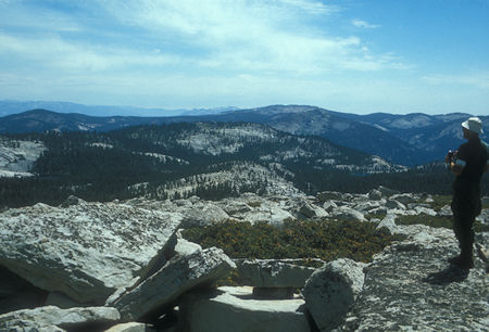
Southeast from Buena Vista Paek, Gordon Lee
Yosemite National Park - Aug 1973
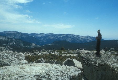
Southeast toward Royal Arch Lake from Buena Vista Peak, Gordon Lee
Yosemite National Park - Aug 1973
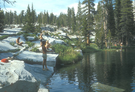
Royal Arch Lake - Yosemite National Park - Aug 1973
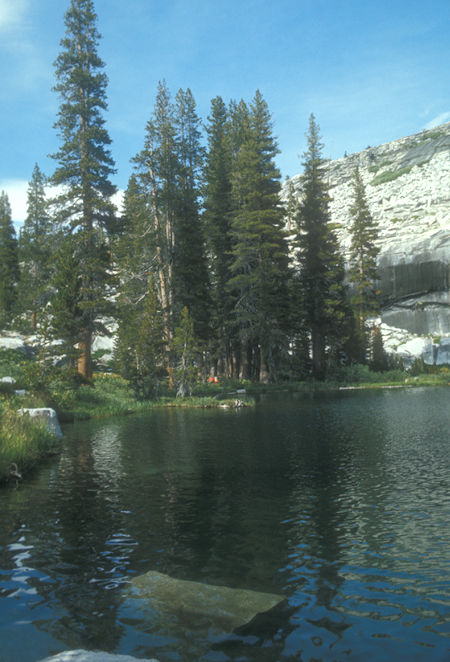
Royal Arch Lake - Yosemite National Park - Aug 1973
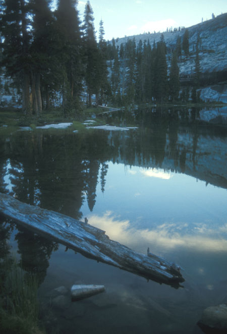
Morning at Royal Arch Lake - Yosemite National Park - Aug 1973
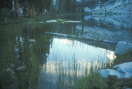
Morning at Royal Arch Lake - Yosemite National Park - Aug 1973
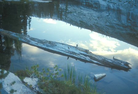
Morning at Royal Arch Lake - Yosemite National Park - Aug 1973
Tuesday we headed out on a 9.0 mile day. There is an old army trail short cut which avoids a drop and climb which we didn't learn of until too late. After crossing a ridge, we dropped well down the slope to Buck Creek where the Buck Camp Ranger Station is located. The long sloping meadow was full of flowers. Talked with the Ranger before proceeding along a rolling route which took us to the headwaters of the South Fork of Merced River.
This trail is little used - no other people - and offered some views of Chiquita Pass and the peaks near Chain Lakes. Gordon and I found a pleasant lunch and rest stop on the South Fork Merced River before the steady climb to Chain Lakes. Trail use picked up at the Moraine Meadow Trail junction as many come in via Chiquita Pass and continue to Merced Pass as we would in several days.
Lower Chain Lake didn't offer much in the way of camping. Middle Chain Lake was beautiful except for the dirty overused campsites near the outlet. We were fortunate to locate an isolated campsite midway up the north shore which was very nice. Well over 50 people were camped here - including a church youth group who held campfires with skits, etc. and were quite noisy.

1973 Deck Trek Day 4 & 5 map
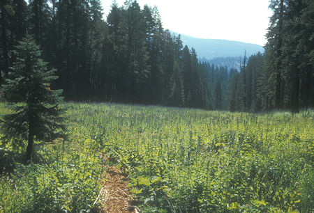
Meadow at Buck Creek - Yosemite National Park - Aug 1973
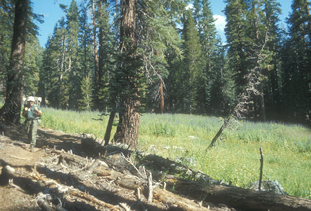
Meadow at Buck Creek - Yosemite National Park - Aug 1973
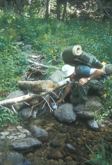
Gordon Lee getting water from Buck Creek
Yosemite National Park - Aug 1973
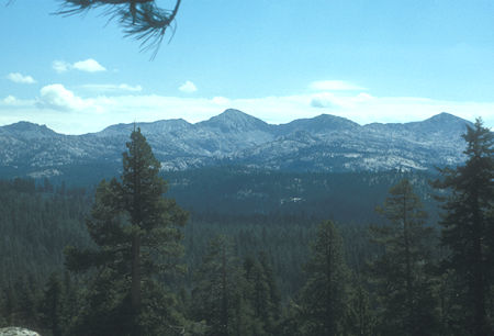
Gale, Sing and Madera Peaks - Yosemite National Park - Aug 1973
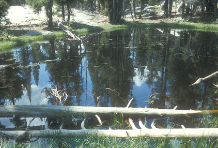
Stagnant Pool near head of South Fork Merced River
Yosemite National Park - Aug 1973
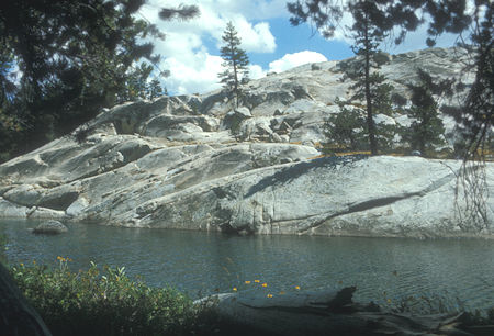
Upper South Fork Merced River - Yosemite National Park - Aug 1973
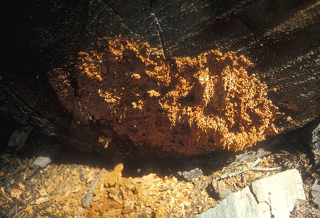
Mushroom growing on log - Yosemite National Park - Aug 1973
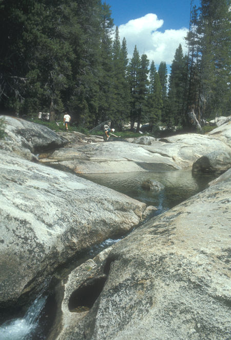
Lunch stop, South Fork Merced River - Yosemite National Park - Aug 1973
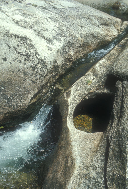
South Fork Merced River - Yosemite National Park - Aug 1973
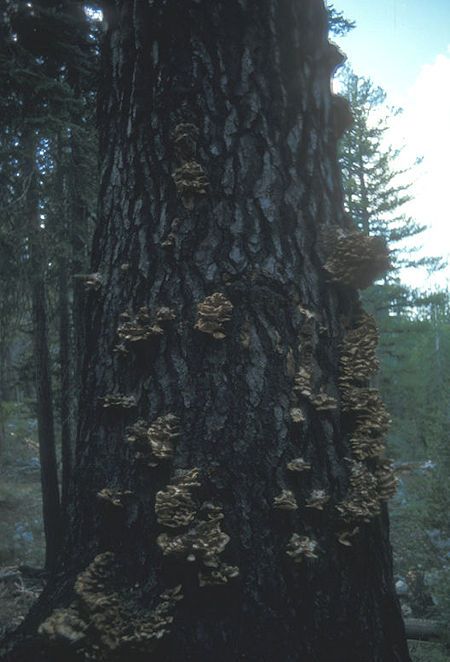
Mushroom tree - Yosemite National Park - Aug 1973
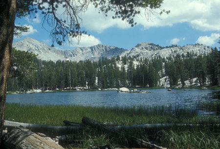
Lower Chain Lake, Gale and Sing Peaks
Yosemite National Park - Aug 1973
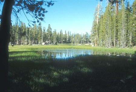
Lower Chain Lake - Yosemite National Park - Aug 1973
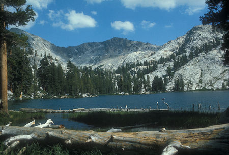
Middle Chain Lake, Gale and Sing Peaks
Yosemite National Park - Aug 1973
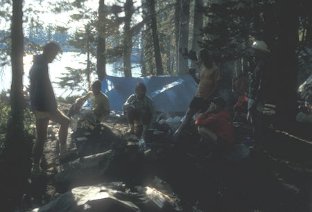
Chain Lake camp - Yosemite National Park - Aug 1973
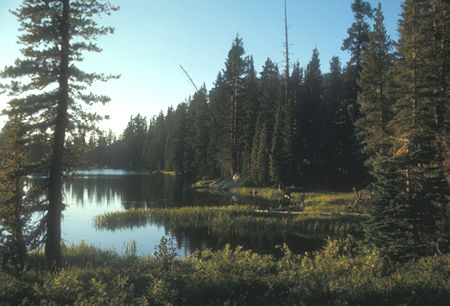
Middle Chain Lake - Yosemite National Park - Aug 1973
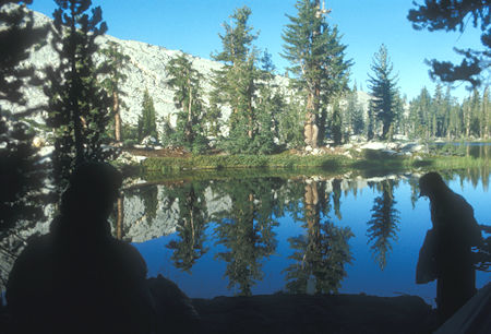
Morning at Chain Lake camp - Yosemite National Park - Aug 1973
On Wednesday (my birthday), the fisherman had good fishing - better at the pond between middle lake and upper lake. Campsites at upper lake didn't offer much. Dan Curley climbed Gale, Sing, Madera and Red Top Peaks - quite an exhausting day for him. Paul Smith went cross-county to Breeze Lake for some reported good fishing but found it about the same as Chain Lakes.
Gordon and I made a leisurely climb of 10,685' Gale Peak - ate lunch on top and enjoyed great views of Clark and Ritter Ranges. We followed a ducked trail from near the outlet of upper Chain Lake to the ridge top separating Chain Lakes from Breeze Lake - the trail leads on to Breeze Lake. We followed the Ridge to the Peak - it can also be climbed from the upper Chain Lake.
From the peak we dropped to Breeze Lake and followed its north shore around to the outlet where we found a newly arrived Girl Scout group and on around the lake - Paul Smith. After visiting with Paul we headed back to camp via the duck trail with a stop at upper Chain Lake.
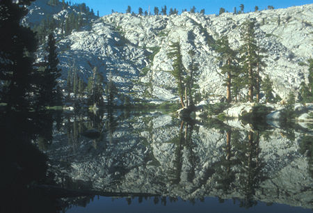
Morning at Chain Lake - Yosemite National Park - Aug 1973
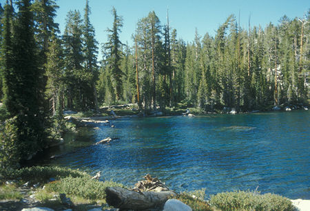
Upper Chain Lake - Yosemite National Park - Aug 1973
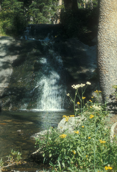
Cascade below Upper Chain Lake - Yosemite National Park - Aug 1973
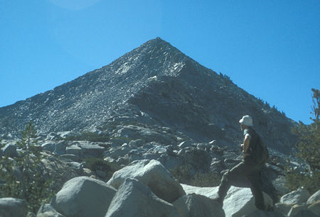
Gale Peak along ridge, Gordon Lee - Yosemite National Park - Aug 1973
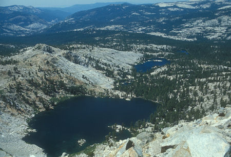
Three Chain Lakes from Gale Peak - Yosemite National Park - Aug 1973
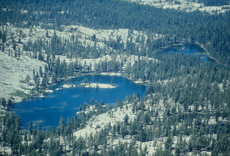
Middle and Lower Chain Lakes from Gale Peak
Yosemite National Park - Aug 1973
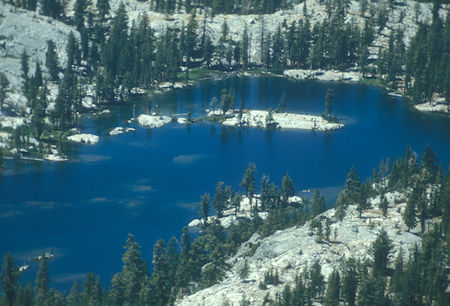
Middle Chain Lake from Gale Peak - Yosemite National Park - Aug 1973
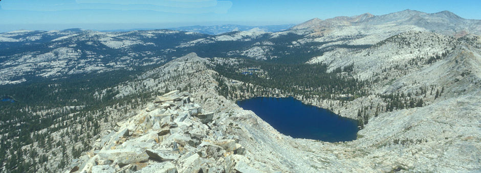
West from Gale Peak along ridge separating Chain Lakes & Breeze Lake (right), Moraine Meadow area (right) - Yosemite National Park - Aug 1973
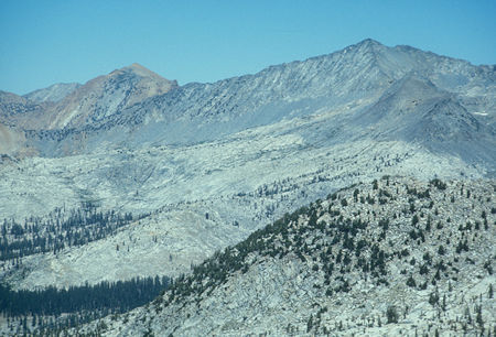
Red Peak and Merced Peak from Gale Peak
Yosemite National Park - Aug 1973
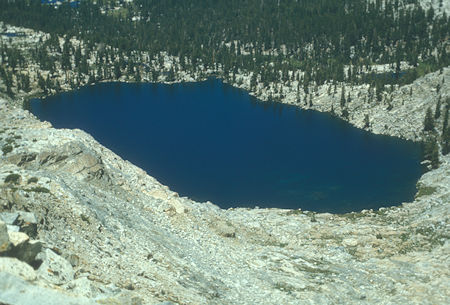
Breeze Lake from Gale Peak - Yosemite National Park - Aug 1973
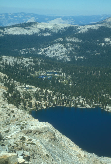
Half Dome and Mount Starr King over Breeze Lake
Yosemite National Park - Aug 1973
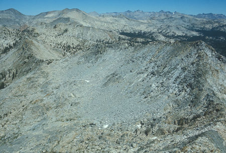
North from Gale Peak toward Isberg Pass area, Triple Divide Peak
Yosemite National Park - Aug 1973
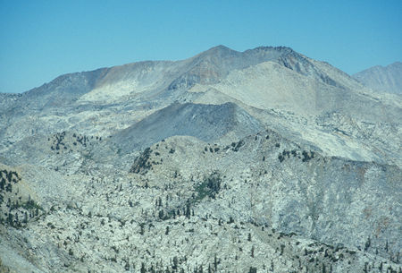
Triple Divide Peak from Gale Peak - Yosemite National Park - Aug 1973
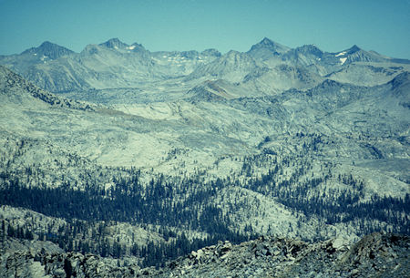
Mount Maclure, Mount Lyell, Roger Peak from Gale Peak
Yosemite National Park - Aug 1973
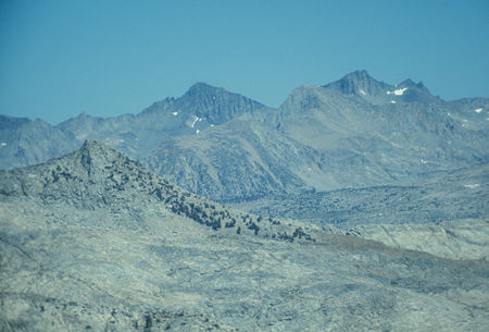
Mount Maclure and Mount Lyell from Gale Peak
Yosemite National Park - Aug 1973
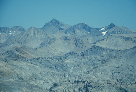
Roger Peak from Gale Peak - Yosemite National Park - Aug 1973
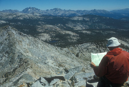
Banner Peak, Mt. Ritter, Minarets from Gale Peak, Gordon Lee
Yosemite National Park - Aug 1973
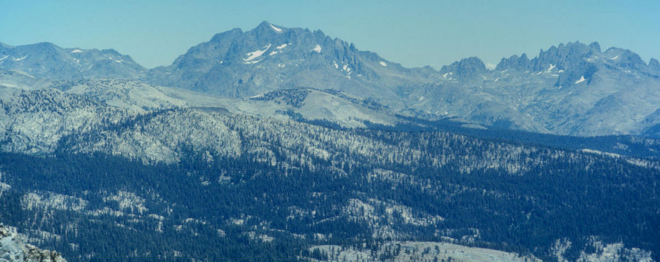
Banner Peak & Mt. Ritter (left) and Minarets (right) from Gale Peak - Yosemite National Park - Aug 1973
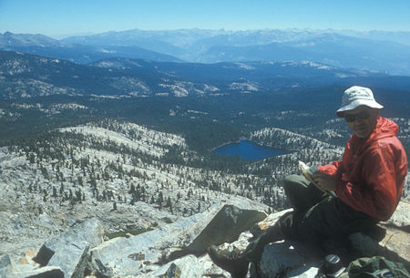
East from Gale Peak over Lillian Lake toward Mammoth Lakes, Gordon Lee
Yosemite National Park - Aug 1973
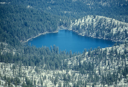
Lillian Lake from Gale Peak - Yosemite National Park - Aug 1973
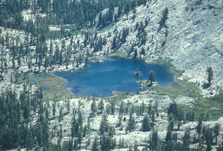
Shirley Lake from Gale Peak - Yosemite National Park - Aug 1973
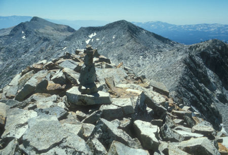
Madera Peak (left), Sing Peak (center) from Gale Peak
Yosemite National Park - Aug 1973
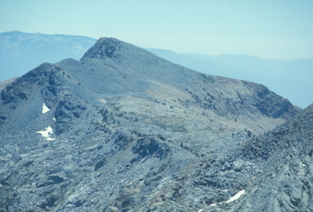
Madera Peak from Gale Peak - Yosemite National Park - Aug 1973
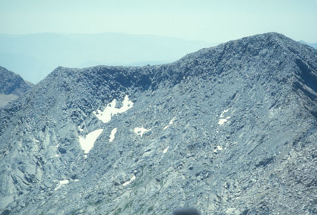
Sing Peak from Gale Peak - Yosemite National Park - Aug 1973
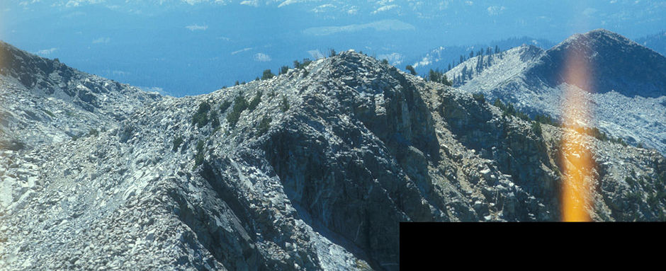
Peak 10,448 between Gale Peak and Sing Peak, Redtop (right) from Gale Peak - Yosemite National Park - Aug 1973
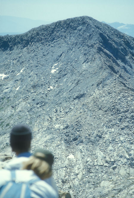
Sing Peak from Gale Peak - Yosemite National Park - Aug 1973
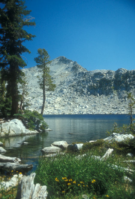
Outlet of Breeze Lake - Yosemite National Park - Aug 1973
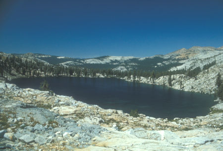
Breeze Lake - Yosemite National Park - Aug 1973
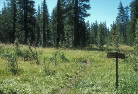
Morain Meadow area - Yosemite National Park - Aug 1973
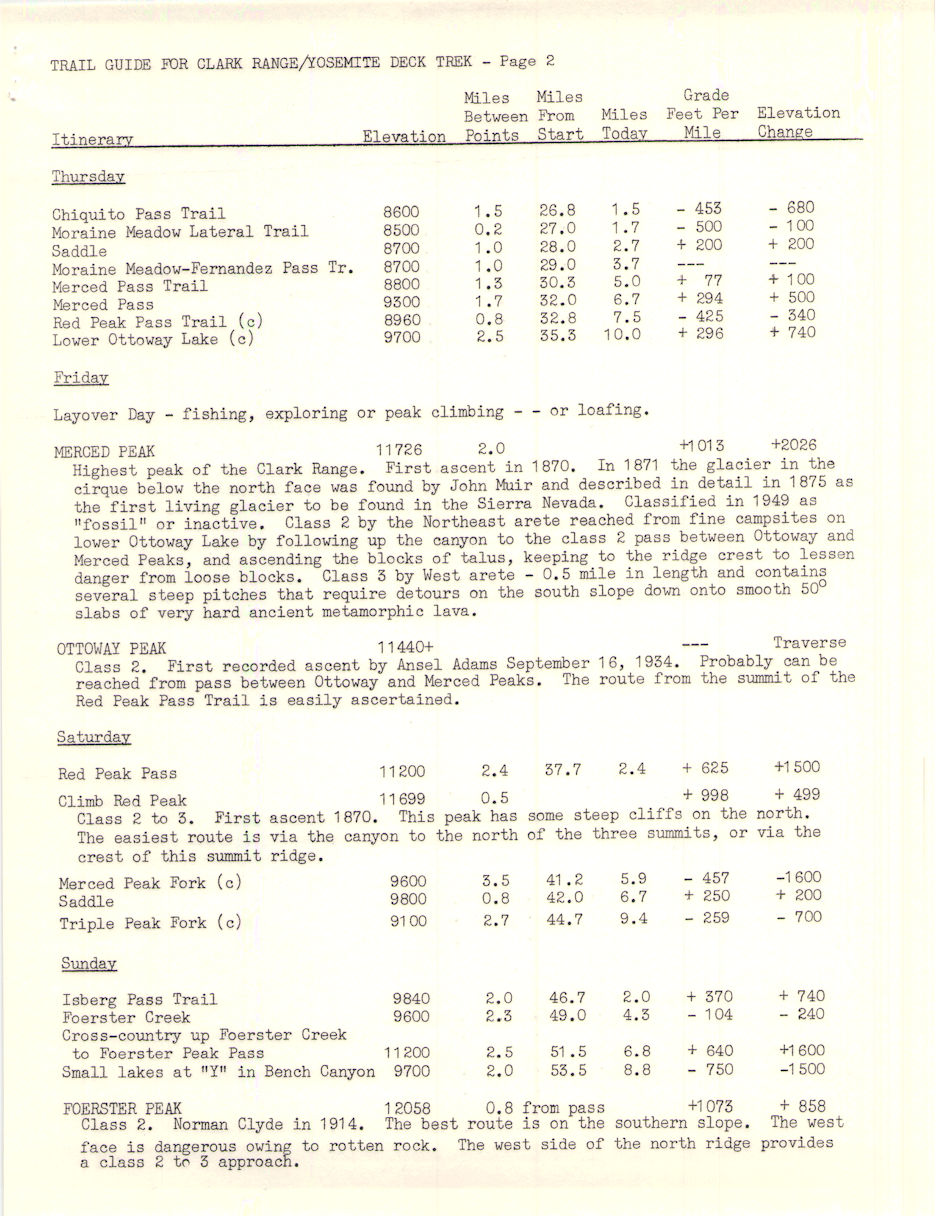
Thursday was Curt Sayer's birthday as we proceeded over a fairly easy 10 miles to Lower Ottaway Lake via Moraine Meadow and Merced Pass. An icy wind was blowing at Lower Ottoway which didn't make too pleasant a welcome. The hike over was through forest with a few views and some pretty meadows on the south side of Merced Pass.
The terrain made a drastic change on arriving at Lower Ottoway Lake where rocks and trees gave an Alpine setting. We made camp and Gordon Lee left us at 7 a.m. the next morning (Friday) to return 12 or 15 miles to his car and San Diego. Curt Sayer's boots were too small and his blisters were driving him crazy so he decided to leave us Saturday.
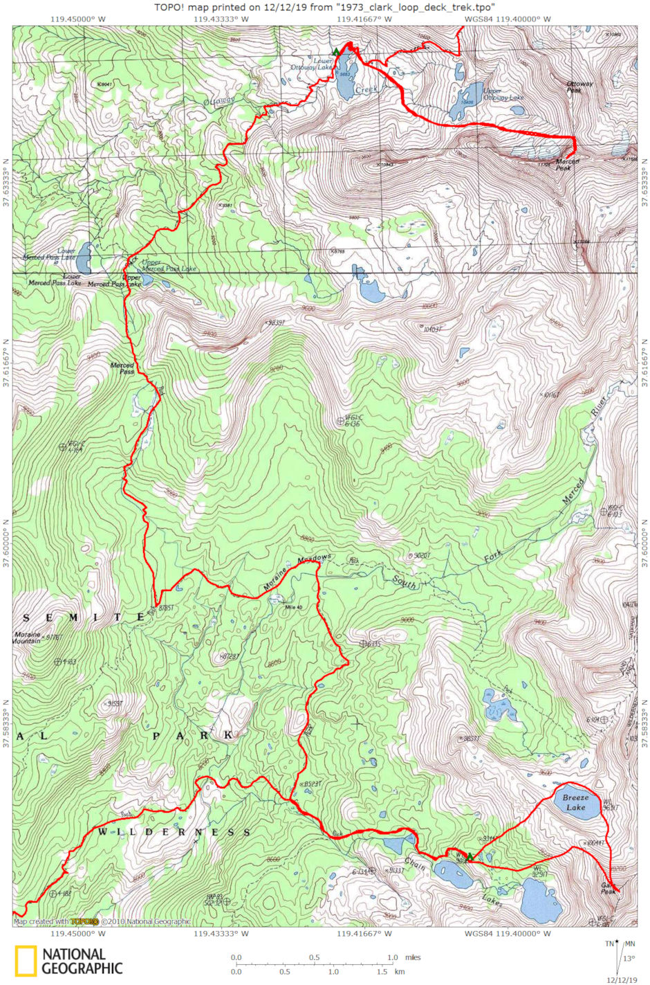
1973 Deck Trek Day 6 & 7 map
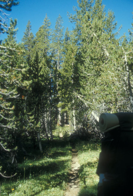
Trail to Merced Pass - Yosemite National Park - Aug 1973
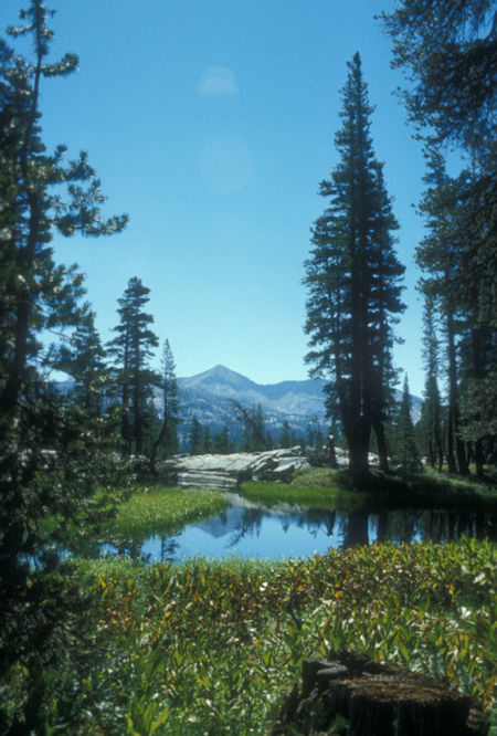
Gale Peak from Morain Meadow area - Yosemite National Park - Aug 1973
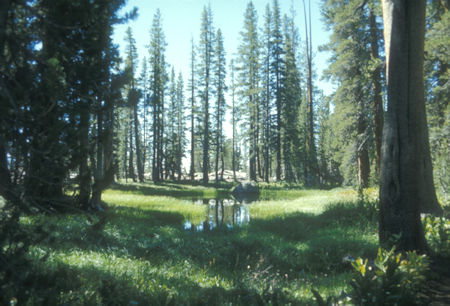
Morain Meadow area, trail to Merced Pass
Yosemite National Park - Aug 1973
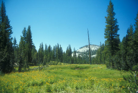
Meadow below Merced Pass - Yosemite National Park - Aug 1973
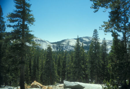
Buena Vista Crest from near Merced Pass
Yosemite National Park - Aug 1973
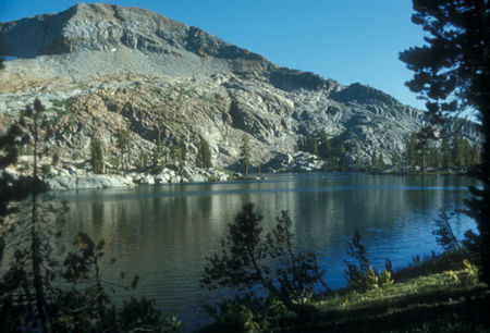
Lower Ottaway Lake - Yosemite National Park - Aug 1973
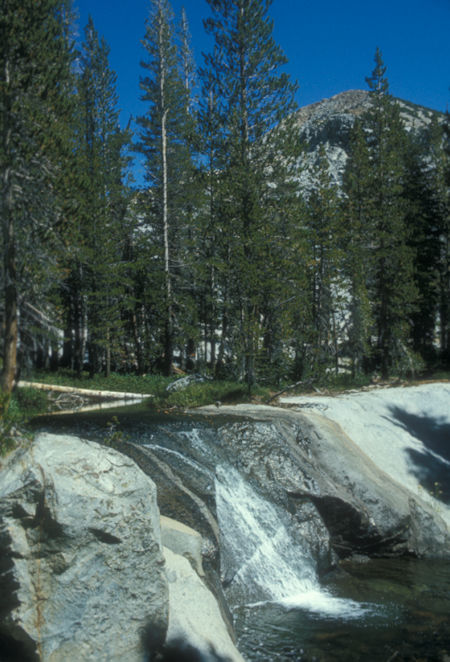
Stream below Lower Ottaway Lake - Yosemite National Park - Aug 1973
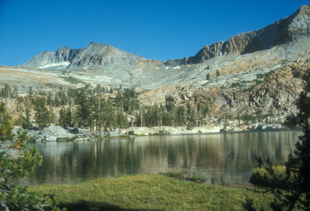
Merced Peak from Lower Ottaway Lake
Yosemite National Park - Aug 1973
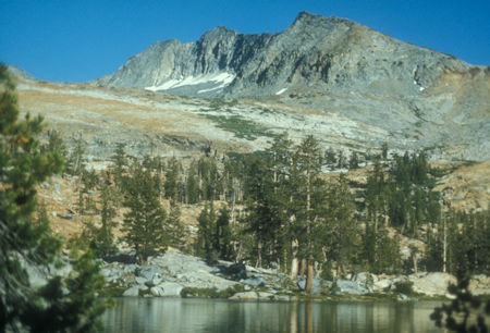
Merced Peak from Lower Ottaway Lake
Yosemite National Park - Aug 1973
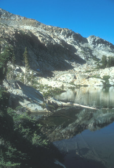
Lower Ottaway Lake - Yosemite National Park - Aug 1973
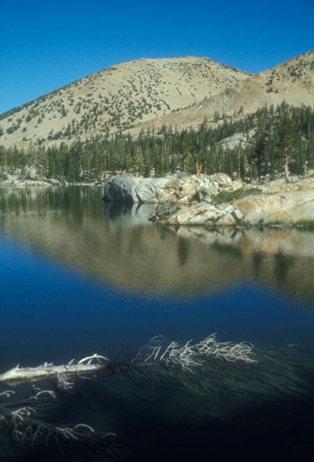
Lower Ottaway Lake - Yosemite National Park - Aug 1973
The packer arrived with the fresh steaks, etc. Friday afternoon and arrangements were made for Curt to ride out with him to the pack station. Curt then hitch hiked to Glacier Point, moved my truck down to the Curry Village parking in Yosemite Valley and then hitched to Tahoe where his parents were on vacation.
Meanwhile, on Friday, Don Deck, Dan Curley and George Brady climbed 11,731' Merced Peak. Dan Curley then climbed Ottoway Peak. The steaks and other fresh food was delicious Friday night.
Merced Peak is located close to the southern border of Yosemite National Park, near the Ottoway Lakes.
In 1871, influential Scottish-American naturalist John Muir discovered an active alpine glacier below Merced Peak, which helped his theory that Yosemite Valley was formed by glacial action gain acceptance.
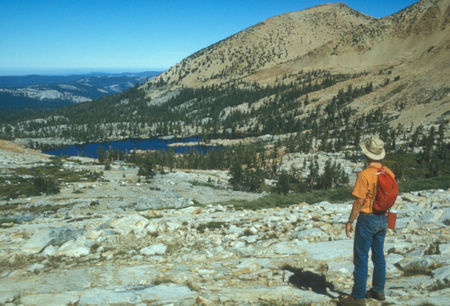
Lower Ottoway Lake, Dan Curley - Yosemite National Park - Aug 1973
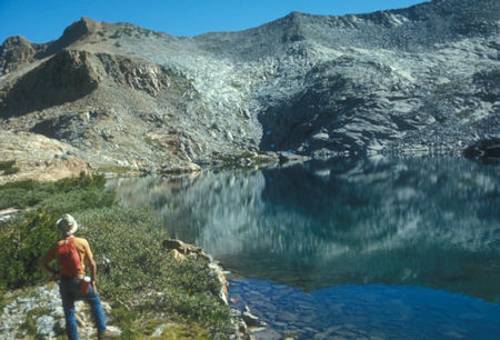
Upper Ottoway Lake, Dan Curley - Yosemite National Park - Aug 1973
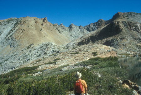
Toward Red Peak Pass from Upper Ottoway Lake, Dan Curley
Yosemite National Park - Aug 1973
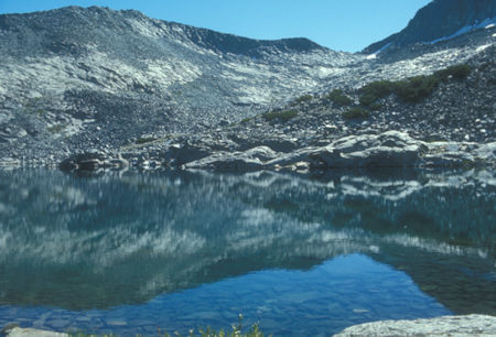
Upper Ottoway Lake - Yosemite National Park - Aug 1973
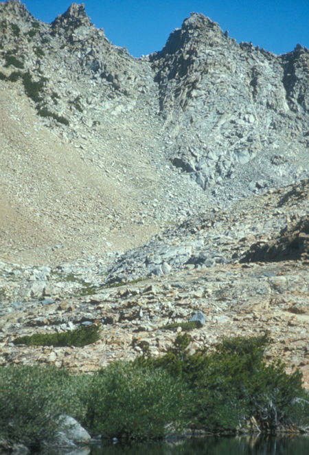
Red Peak Pass - Yosemite National Park - Aug 1973
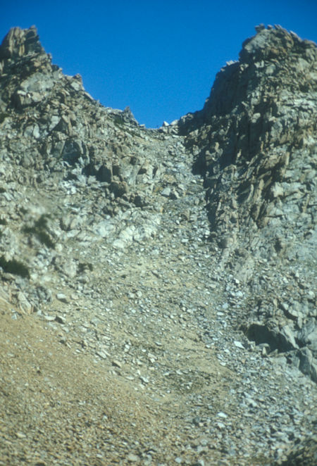
Red Peak Pass - Yosemite National Park - Aug 1973
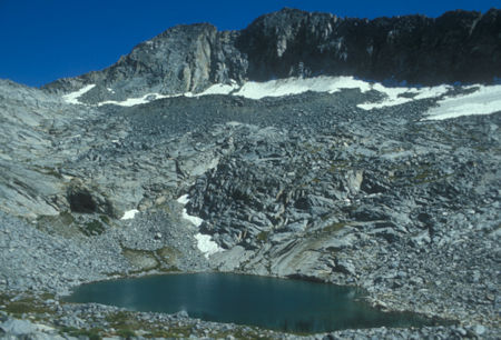
Merced Peak - Yosemite National Park - Aug 1973
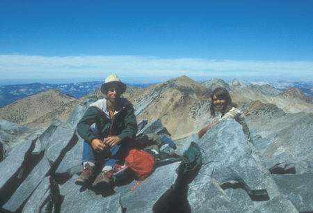
Dan Curley and George Brady on top of Merced Peak
Yosemite National Park - Aug 1973
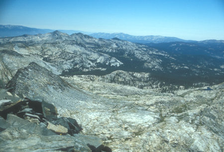
South from Merced Peak - Madera, Gale and Sing Peaks
Yosemite National Park - Aug 1973
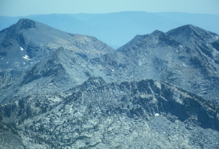
Madera, Gale and Sing Peaks from Merced Peak
Yosemite National Park - Aug 1973
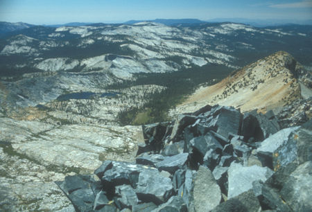
Buena Vista Crest and headwaters of Illilouette Creek from Merced Peak
Yosemite National Park - Aug 1973
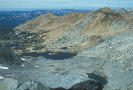
Ottoway Lakes, Red Peak Pass, Red Peak, Gray Peak, Clark Peak from
Merced Peak - Yosemite National Park - Aug 1973
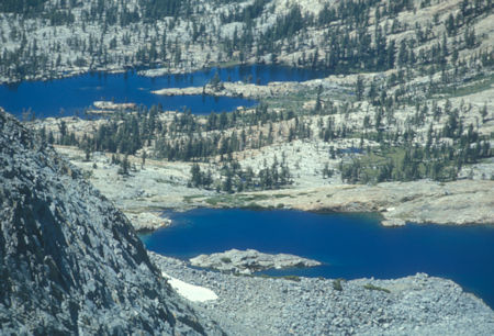
Lower and Upper Ottoway Lakes from Merced Peak
Yosemite National Park - Aug 1973
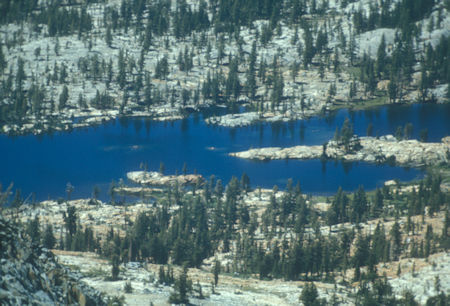
Lower Ottoway Lake from Merced Peak
Yosemite National Park - Aug 1973
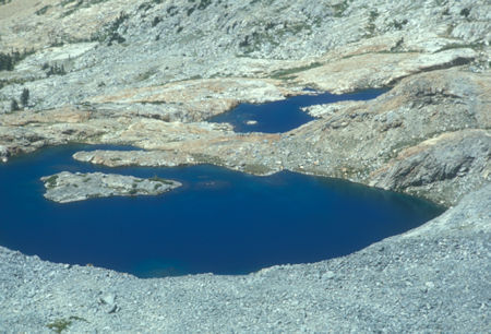
Upper Ottoway Lake from Merced Peak
Yosemite National Park - Aug 1973
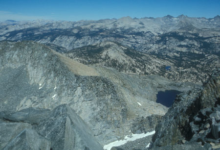
Ottoway Peak, Mount Maclure, Mount Lyell, Roger Peak, Merced Peak
Fork Merced River from Merced Peak - Yosemite National Park - Aug 1973
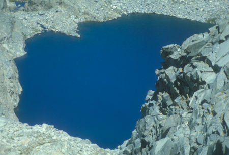
Edna Lake from Merced Peak - Yosemite National Park - Aug 1973
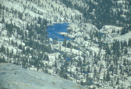
Unnamed Lake on Merced Peak Fork Merced River from Merced Peak
Yosemite National Park - Aug 1973
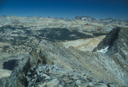
Maclure, Lyell, Roger, Banner, Ritter, Minerets from Merced Peak
Yosemite National Park - Aug 1973
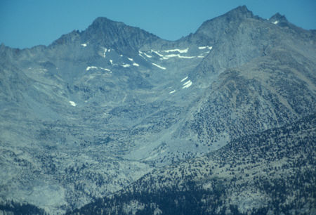
Mount Maclure, Mount Lyell, Upper Lyell Fork Merced River from
Merced Peak - Yosemite National Park - Aug 1973
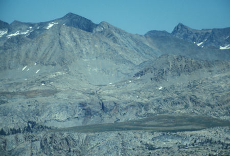
Foerster Peak, Foerster Pass, Foerster Creek from Merced Peak
Yosemite National Park - Aug 1973
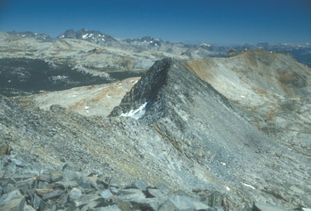
Banner Peak, Mt. Ritter, Minarets, Triple Divide Peak from Merced Peak
Yosemite National Park - Aug 1973
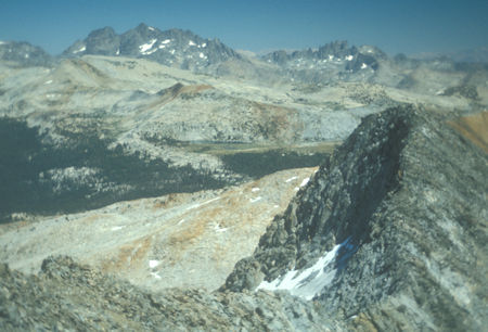
Banner Peak, Mt. Ritter, Minarets, Isberg Pass Meadow and Lake from
Merced Peak - Yosemite National Park - Aug 1973
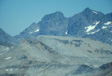
Banner Peak, Mt. Ritter from Merced Peak
Yosemite National Park - Aug 1973
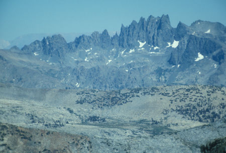
Minarets from Merced Peak - Yosemite National Park - Aug 1973
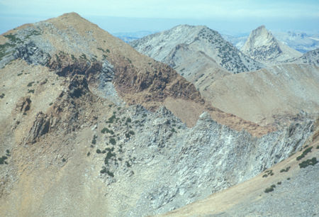
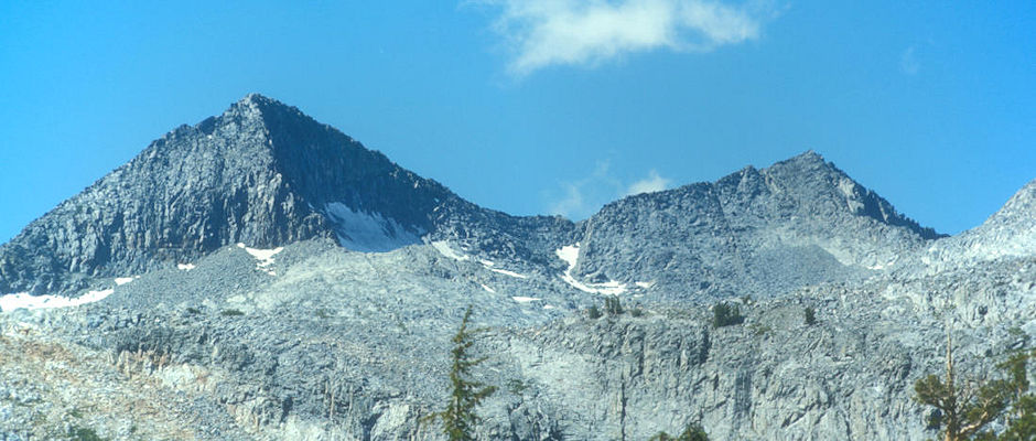
Red Peak, Gray Peak, Mount Clark, Red Peak Pass from Merced Peak
Yosemite National Park - Aug 1673
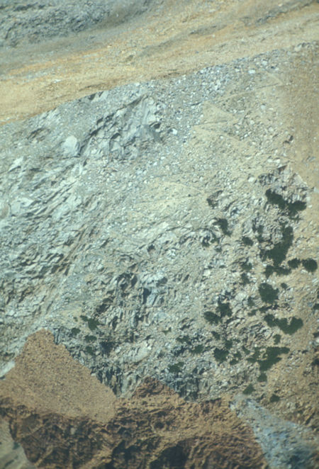
Red Peak Pass trail from Merced Peak - Yosemite National Park - Aug 1973
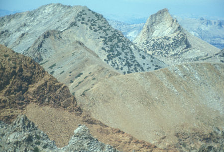
Top of Red Peak Pass (bottom), Gray Peak, Mount Clark from Merced Peak
Yosemite National Park - Aug 1973
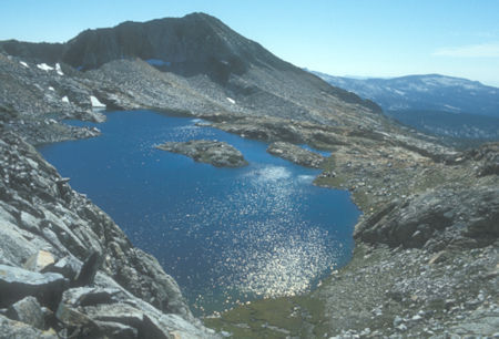
Upper Ottoway Lake from Merced Peak - Yosemite National Park - Aug 1973
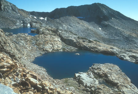
Upper Ottoway Lakes from Merced Peak
Yosemite National Park - Aug 1973
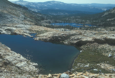
Upper & Lower Ottoway Lakes from Merced Peak
Yosemite National Park - Aug 1973
Saturday morning was cloudy and windy with every prospect of snow. The packer and Curt got off shortly after 8 a.m. and we headed for Red Peak Pass. It was a stiff climb and windy on top - but new views to the north were great and we could get out of the wind. After a snack and deciding that Red Peak was not a good climb from the pass, we decided to camp at Red Devil Lake.
We descended through colorful rocks on a good trail and then a short cross-country hop to the lake. Dan led Robbie and Brian into some rough terrain requiring some back tracking - but all gathered at the lake for lunch and a nice campsite.
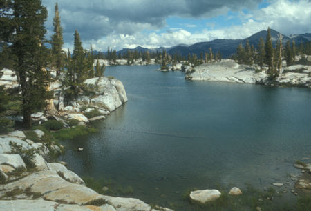
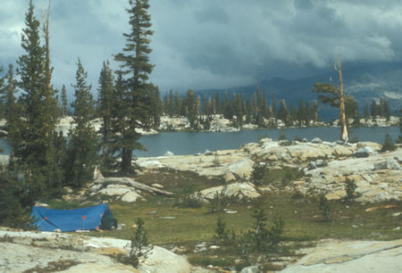
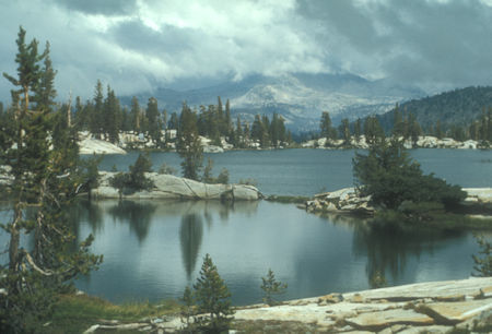
Red Devil Lake is lightly forested but has the barren alpine feel. The weather continued cloudy, windy and cold Saturday and Sunday. We spent the time resting, reading, fishing.
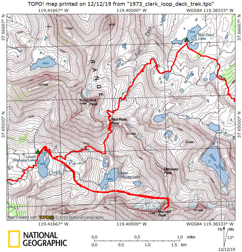
1973 Deck Trek Day 8 map
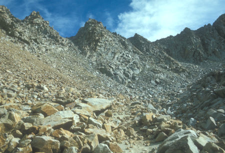
Trail to Red Peak Pass - Yosemite National Park - Aug 1973
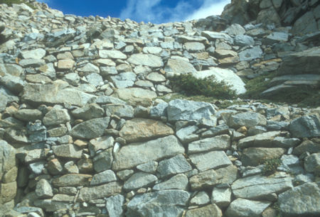
Red Peak Pass switchbacks near top - Yosemite National Park - Aug 1973
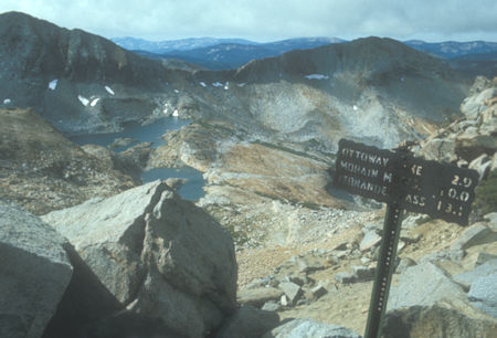
Ottoway Lakes from Red Peak Pass - Yosemite National Park - Aug 1973
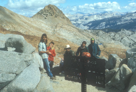
George, Robbie, Dan, Brian, Paul on Red Peak Pass
Yosemite National Park - Aug 1973
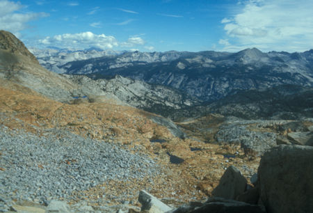
Looking north from Red Peak Pass - Yosemite National Park - Aug 1973
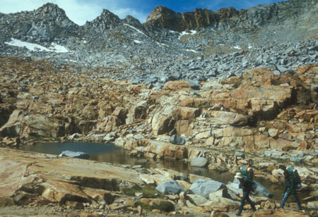
Looking back at Red Peak Pass - Yosemite National Park - Aug 1973
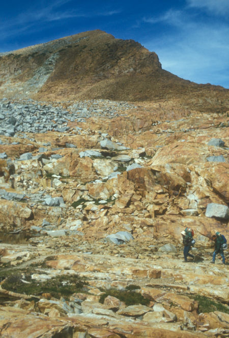
Descending Red Peak Pass - Yosemite National Park - Aug 1973
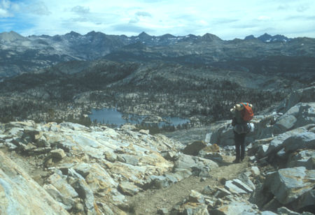
McClure, Lyell, Roger, Banner, Ritter, Red Devil Lake
Yosemite National Park - Aug 1973
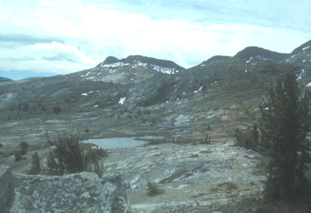
Triple Divide Peak - Yosemite National Park - Aug 1973
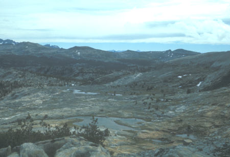
Looking toward Isberg Pass - Yosemite National Park - Aug 1973
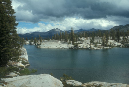
Red Devil Lake - Yosemite National Park - Aug 1973
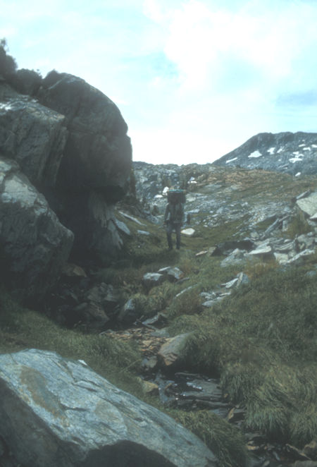
Cross-country route to Red Devil Lake - Yosemite National Park - Aug 1973

Sunset at Red Devil Lake - Yosemite National Park - Aug 1973
Red Devil Lake - Yosemite National Park - Aug 1973
Red Devil Lake - Yosemite National Park - Aug 1973
Red Devil Lake - Yosemite National Park - Aug 1973
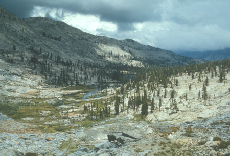
Lower valley near Red Devil Lake - Yosemite National Park - Aug 1973
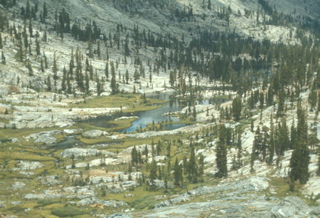
Lower valley near Red Devil Lake - Yosemite National Park - Aug 1973
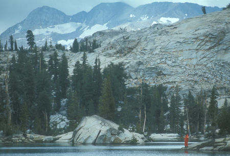
Triple Divide Peak from Red Devil Lake - Yosemite National Park - Aug 1973
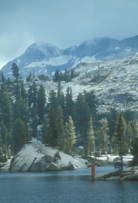
Triple Divide Peak from Red Devil Lake - Yosemite National Park - Aug 1973
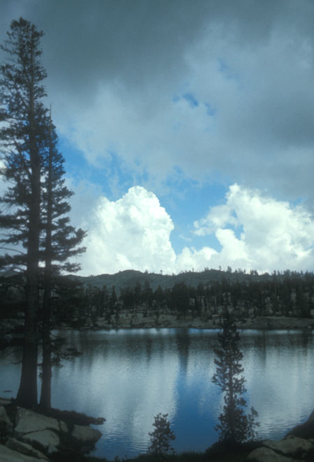
Red Devil Lake - Yosemite National Park - Aug 1973
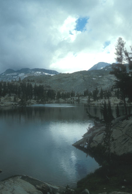
Red Devil Lake - Yosemite National Park - Aug 1973
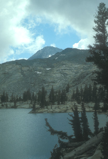
Red Devil Lake - Yosemite National Park - Aug 1973
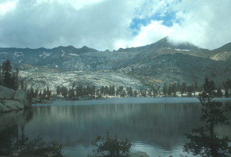
Red Devil Lake - Yosemite National Park - Aug 1973
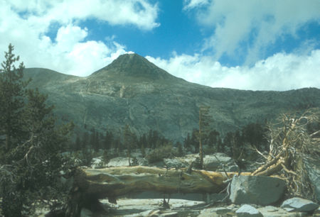
Gray Peak over Red Devil Lake - Yosemite National Park - Aug 1973
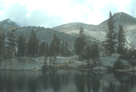
Gray Peak over Red Devil Lake - Yosemite National Park - Aug 1973
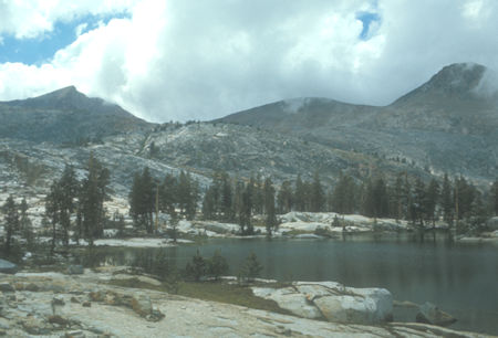
Red Devil Lake - Yosemite National Park - Aug 1973
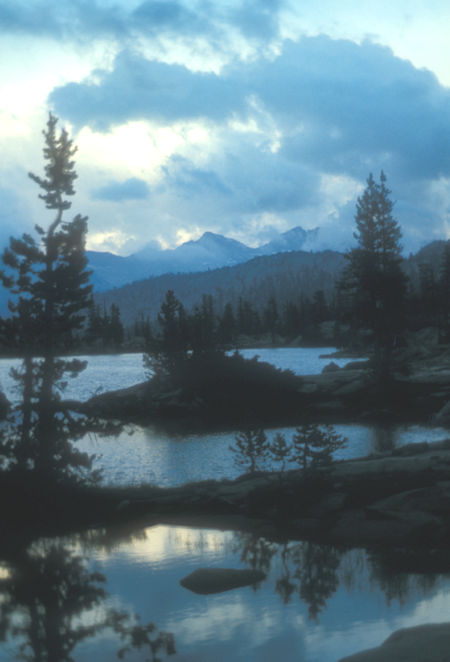
Dusk at Red Devil Lake - Yosemite National Park - Aug 1973
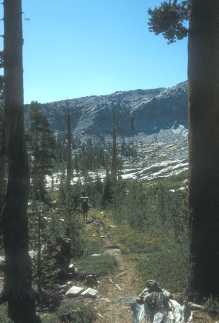
Headwaters of Merced Peak Fork Merced River
Yosemite National Park - Aug 1973
Monday we headed some 9 miles for two unnamed lakes on the north side of Isberg Pass at 10,000'. Some people I had met at Breeze lake indicated a possible shortcut. Various people took various routes - Some took off cross-country from the Merced River valley and got into some extra effort and scenery.
We all arrived at camp about the same time - finding a nice campsite near the smaller lake. A young couple were camped at the larger lake and seen to frolic in the nude. George and Brian took off for Post Peak while the rest of us washed, fished and sunned ourselves. The weather had returned to nice sunny days.
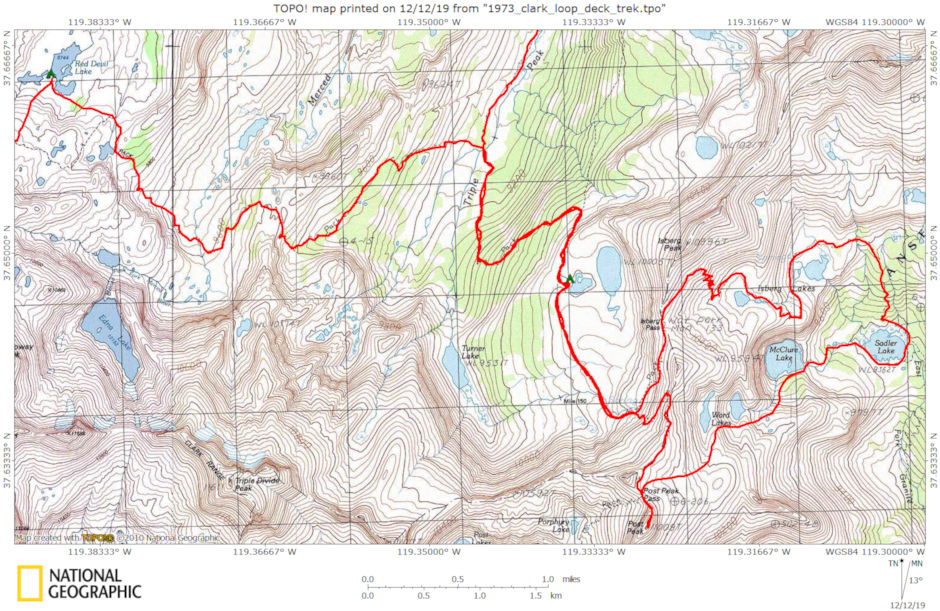
1973 Deck Trek Day 9 & 10 map
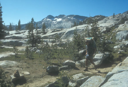
Triple Divide Peak near Red Devil Lake - Yosemite National Park - Aug 1973
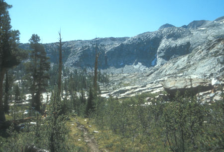
Headwaters of Merced Peak Fork Merced River
Yosemite National Park - Aug 1973
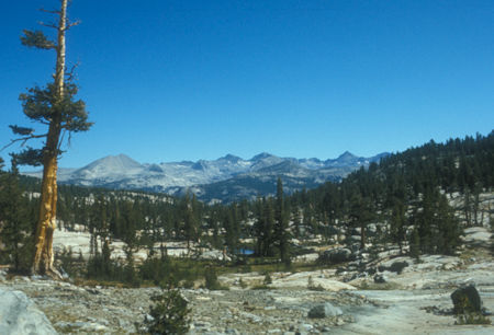
Looking down Merced Peak Fork of Merced River
at Maclure, Lyell and Roger peaks - Yosemite National Park - Aug 1973
Looking down Merced Peak Fork of Merced River
at Maclure, Lyell and Roger peaks - Yosemite National Park - Aug 1973
Mount Maclure and Mount Lyell from trail to Isberg Pass area
Yosemite National Park - Aug 1973
Roger Peak from trail to Isberg Pass area
Yosemite National Park - Aug 1973
Merced Peak, Ottoway Peak and Red Peak from trail to Isberg Pass area - Yosemite National Park - Aug 1973
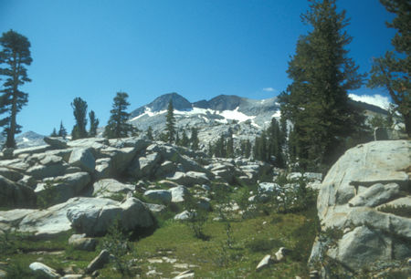
Merced Peak (left) and ridge from trail to Isberg Pass area - Yosemite National Park - Aug 1973
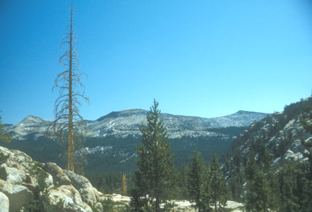
Triple Divide Peak from trail to Isberg Pass area
Yosemite National Park - Aug 1973
Isberg Peak from trail to Isberg Pass area
Yosemite National Park - Aug 1973
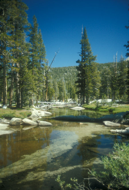
Triple Divide Fork Merced River - Yosemite National Park - Aug 1973
Looking down Triple Divide Peak Merced River
Yosemite National Park - Aug 1973
Triple Divide Peak, Merced Peak from near Isberg area camp
Yosemite National Park - Aug 1973
Merced Peak, Red Peak, Gray Peak from near Isberg Pass area camp
Yosemite National Park - Aug 1973
Isberg Peak - Yosemite National Park - Aug 1973
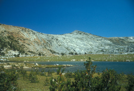
Looking toward Isberg Pass from camp
Yosemite National Park - Aug 1973
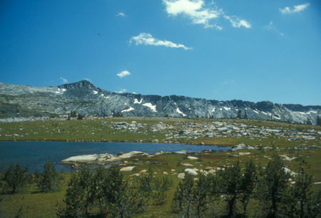
Ridge near Post Peak from camp - Yosemite National Park - Aug 1973
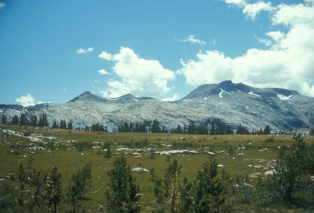
Triple Divide Peak from camp - Yosemite National Park - Aug 1973
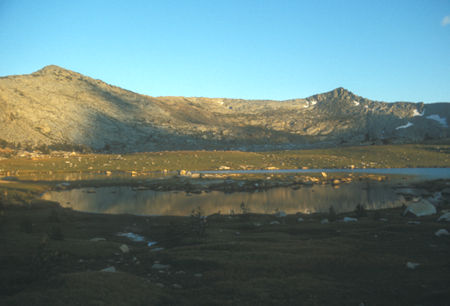
Dusk at camp near Isberg Pass - Yosemite National Park - Aug 1973
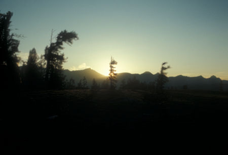
Sunset over Clard Range from camp near Isbell Pass
Yosemite National Park - Aug 1973
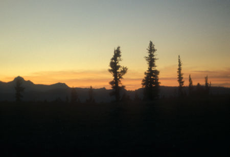
Sunset over Clard Range from camp near Isbell Pass
Yosemite National Park - Aug 1973
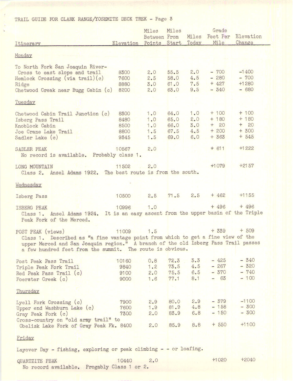
Tuesday, Dan Curley set out for Isberg Peak, Post Peak and Triple Divide Peak. Don Deck, Paul Smith and Robbie Berube went to 11,014' Post Peak and then cross country down past Ward Lakes and McClure Lake to Sadler Lake, then via the trail back over Isberg Pass for about a 9 mile day hike. The views from Post Peak were outstanding - as advertised - and we could see fresh snow on the Mammoth Crest.
Coming down from Post Peak I fell and cut my shin pretty bad - made a closure with butterfly bandages and other first aid from Robbie's pack. The cut presented no problem so we continued on the day hike. The Ward Lakes were quiet pretty - offering no place for camping. McClure Lake is also pretty and deep with several forested campsites.
The cross-country terrain is easy to Sadler Lake which is surrounded by large meadows offering much fine camping. It is a very pretty lake and is often crowded although only one couple were there when we passed by.
The climb up Isberg Pass was steady but good well graded trail. The lower Isberg Lake offers some exposed camping with little wood. The upper lake is devoid of all wood but offers open camping on a small grassy area. We ran across a party of four here.
Arriving back in camp we discovered that three rangers were in the area with stock. They left a bad impression by galloping their horses across a meadow full of gopher or ground squirrel holes without regard for the possibility of breaking a horse's leg plus the damage to the meadow.
They had a bell on one of their animals (too keep track of him) and the noise was somewhat irritating - plus he almost stepped on Paul during the night.
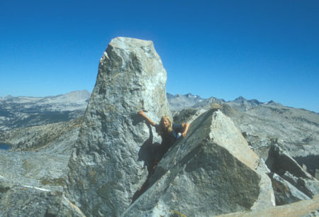
Robbie on Post Peak - Yosemite National Park - Aug 1973
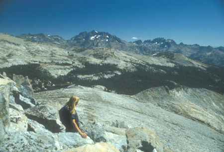
Banner Peak, Mt. Ritter, Minarets from Post Peak, Robbie Berube
Yosemite National Park - Aug 1973

Banner Peak (left), Mt. Ritter (next), Minarets (right) from Post Peak - Yosemite National Park - Aug 1973
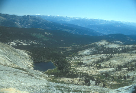
Joe Crane Lake, fresh snow on Mammoth Crest from Post Peak
Yosemite National Park - Aug 1973
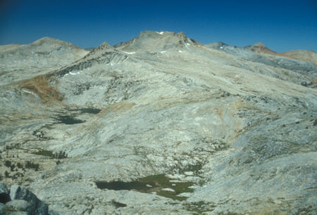
Triple Divide Peak from Post Peak - Yosemite National Park - Aug 1973
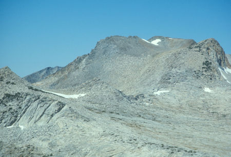
Triple Divide Peak from Post Peak - Yosemite National Park - Aug 1973
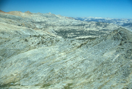
Clark Range from Post Peak - Yosemite National Park - Aug 1973
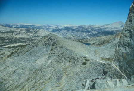
Isberg Pass (lower right), Isberg Peak, Harriet Lake from Post Peak
Yosemite National Park - Aug 1973
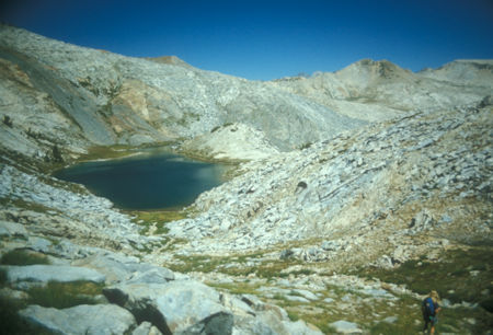
Upper Ward Lake from Post Peak - Yosemite National Park - Aug 1973
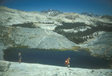
Lower Ward Lake, Robbie and Paul from Post Peak
Yosemite National Park - Aug 1973
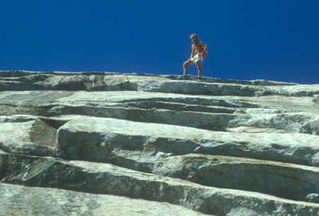
Slabs above Lower Ward Lake, Paul Smith
Yosemite National Park - Aug 1971
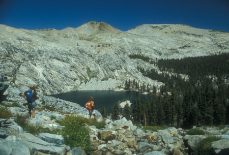
McClure Lake, Robbie Berube, Paul Smith
Yosemite National Park - Aug 1973
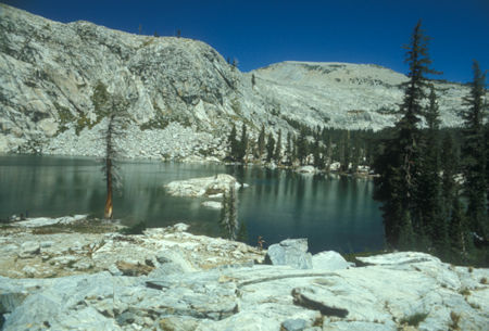
McClure Lake - Yosemite National Park - Aug 1973
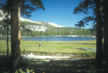
Sadler Lake, Robbie Berube - Yellowstone National Park - Aug 1973
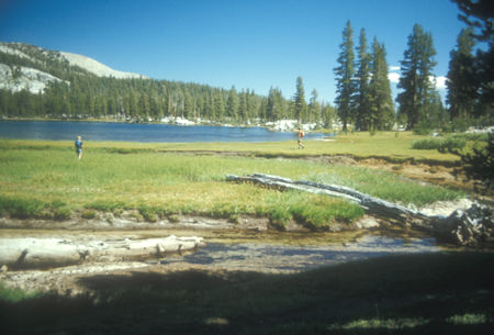
Sadler Lake, Robbie Berube, Paul Smith
Yellowstone National Park - Aug 1973
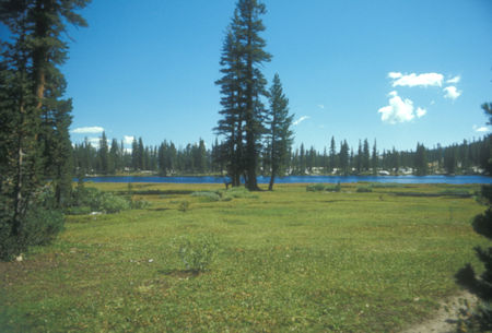
Sadler Lake - Yellowstone National Park - Aug 1973
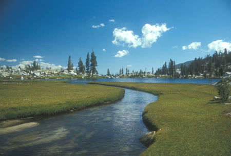
Lower Isberg Lake - Yosemite National Park - Aug 1973
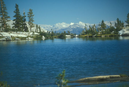
Lower Isberg Lake - Yosemite National Park - Aug 1973
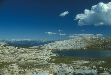
Lower Isberg Lake - Yosemite National Park - Aug 1973
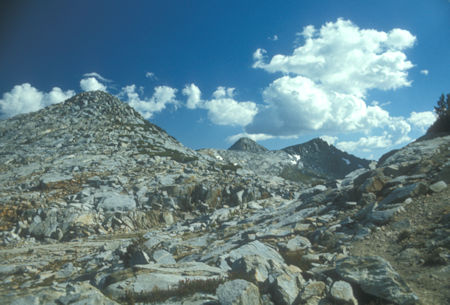
Post Peak (left), Isberg Pass - Yosemite National Park - Aug 1973
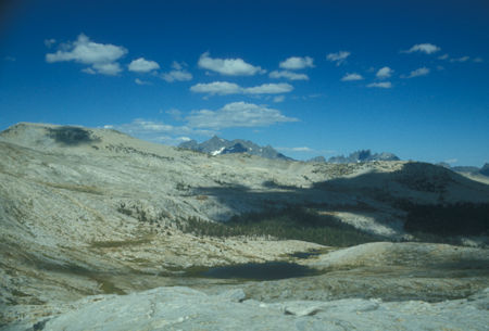
Isberg Peak, Banner Peak, Mt. Ritter, Minarets, Upper Isberg Lake
from Isberg Pass - Yosemite National Park - Aug 1973
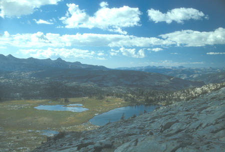
Looking down on camp from Isberg Pass
Yosemite National Park - Aug 1973
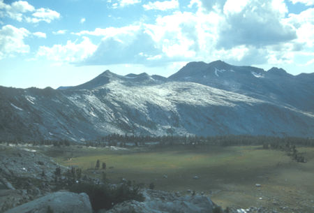
Triple Divide Peak from Isberg Pass - Yosemite National Park - Aug 1973
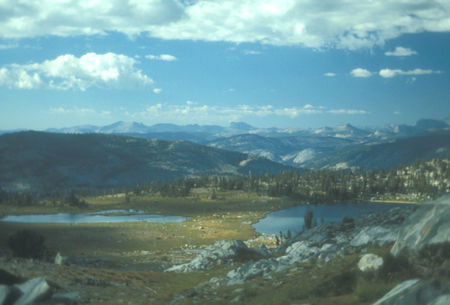
View north over camp from Isberg Pass trail
Yosemite National Park - Aug 1973
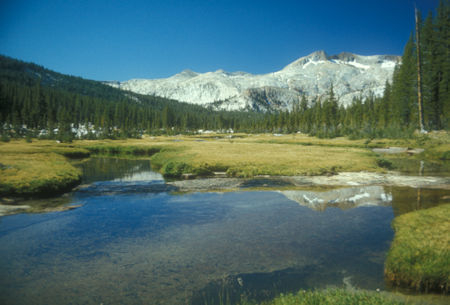
Looking up Triple Divide Peak Fork Merced River at Triple Divide Peak
Yosemite National Park - Aug 1973
The ranger's left early Wednesday as we also left this fine good weather alpine camp for a long 12 mile downhill hike to the Gray Peak Fork of Merced River between Washburn and Merced Lakes.
It was a pleasant hike through the mostly open forested valley with occasional deeply forested glens. About half way we descended a rough trail hacked out of the steep granite slopes where the Merced River, Triple Divide Peak Fork, and Lyell Fork come together. We all gathered on a bridge over the Merced for snacks and fellowship - and a half-hearted try at fly fishing.
We continued on to Washburn Lake where we ate a late lunch before proceeding to the Gray Peak Fork. Along the trail below Washburn Lake was a Soda Spring. Washburn Lake is fairly large and offers fair camping. We arrived at the Gray Peak Fork around 2:50 p.m. and located a nice campsite beside the Merced River complete with double decked kitchen table.
After some searching I located the ducked route we would later follow up the Gray Peak Fork. Robbie and Brian dashed off to Merced Lake to see the Lake and High Sierra Camp - and girls - and store.
Thursday Dan Curley and George Brady made the long and high climb of Mount Clark while the rest of us lazed around and went fishing. The fisherman did well as did the climbers. During the early afternoon it thundered several times, but the storm stayed higher and never reached us.
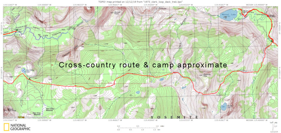
1973 Deck Trek Day 11 & 12 map
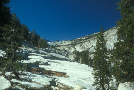
Looking up Merced Peak Fork Merced River toward Merced Peak
Yosemite National Park - Aug 1973
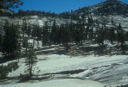
Near Merced Peak Fork Merced River - Yosemite National Park - Aug 1973
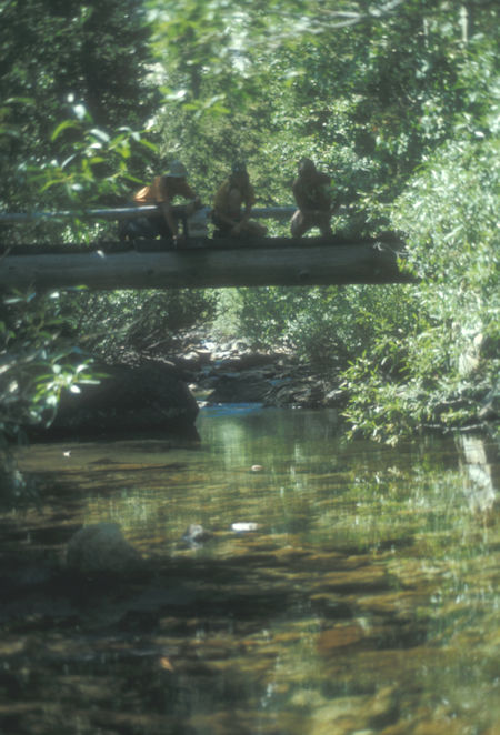
Merced Peak Fork Merced River - Yosemite National Park - Aug 1973
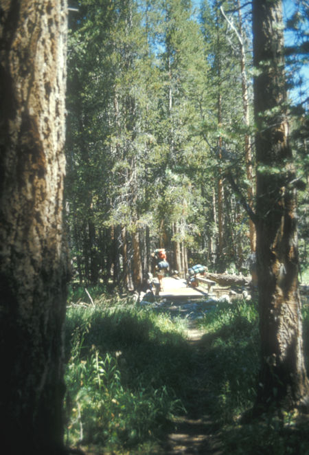
Bridge over Triple Divide Peak Fork Merced River
Yosemite National Park - Aug 1973
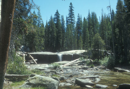
Merced River - Yosemite National Park - Aug 1973
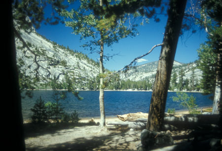
Washburn Lake - Yosemite National Park - Aug 1973
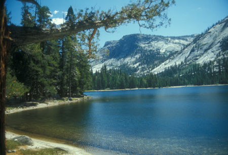
Washburn Lake - Yosemite National Park - Aug 1973
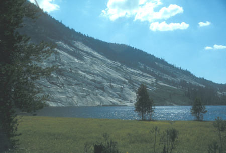
Merced Lake - Yosemite National Park - Aug 1973
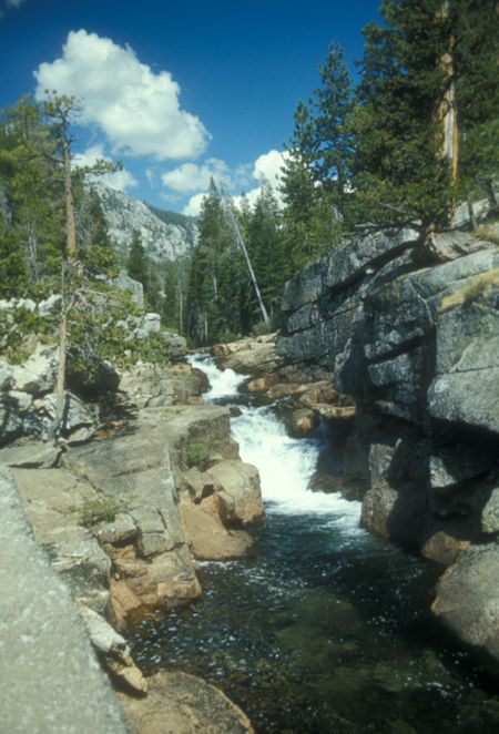
Merced River near Merced Lake - Yosemite National Park - Aug 1973
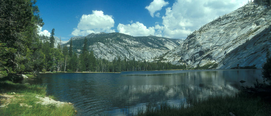
Merced Lake - Yosemite National Park - Aug 1973
Friday, we loaded up and began the steep cross-country climb up Gray Peak Fork with our packs. The ducked trail was easily followed at the start and up to the top of the waterfall - then we lost it and made our own way over easy but steep terrain to 9400 feet and a lunch stop. We were all tired and not of the greatest cheer since we had covered only a few horizontal miles.
The views of Mount Clark and other nearby peaks and the Gray Peak Fork falls were great. After lunch we moved on and found pieces of the ducked route we assume to be the old army trail we were supposed to be following. The terrain was steep in places but generally easy as we side hilled around the upper end of Clark Canyon and several other valleys.
We got some good views of Mount Clark and other areas. There was much pretty country and since we were able to minimize the up and down travel, the spirits improved. The latter part of the afternoon we followed a ridge line leading toward our destination of Starr King Meadow.
We got tired toward the end and had to be careful not to get into the wrong valley - we almost did. Mount Starr King served as a beacon as we charged wearily along. At about 5:50 p.m. we hit a stream with water - but were not sure where we were. Compass sightings on Mount Starr king, Mount Clark, and Half Dome helped - when they could be seen.
After some recon I decided where I thought we were - but not being sure - and therefore not knowing where the lake was - I decided to make camp where we were at about 6 p.m. The late supper of Macaroni and Cheese with Tuna Fish was delicious and we all hit the sack early.
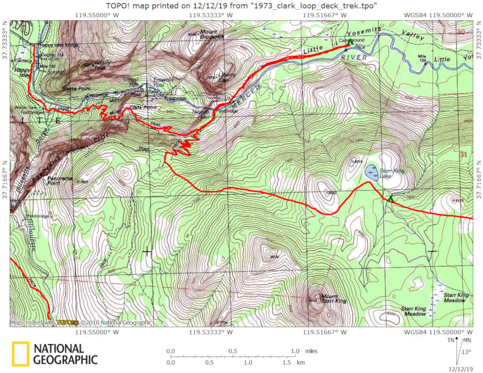
1973 Deck Trek Day 13 & 14 map
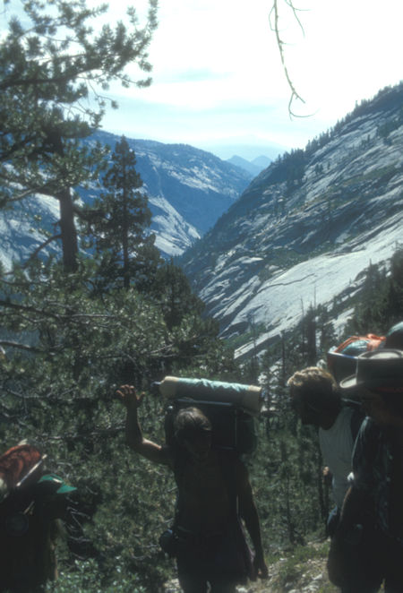
Climbing Gray Peak Fork Merced River - Yosemite National Park - Aug 1973
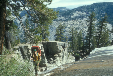
Gray Peak Fork Merced River, Robbie Berube
Yosemite National Park - Aug 1973
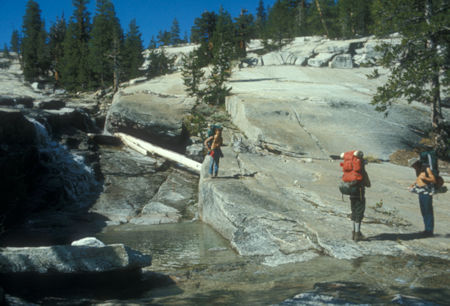
Gray Peak Fork Merced River - Yosemite National Park - Aug 1973
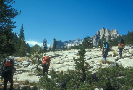
Gray Peak Fork Merced River - Yosemite National Park - Aug 1973
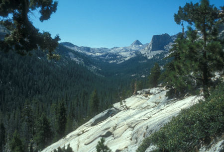
Looking up Gray Peak Fork Merced River
Yosemite National Park - Aug 1973
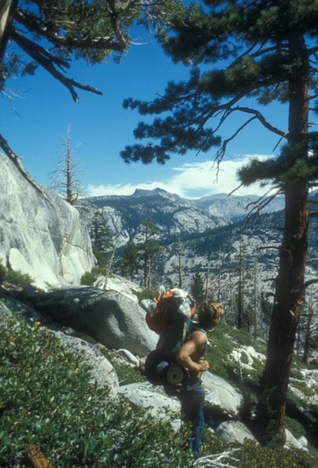
Gray Peak Fork Merced River - Yosemite National Park - Aug 1973
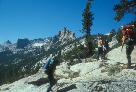
Climbing out of Gray Peak Fork Merced River
Yosemite National Park - Aug 1973
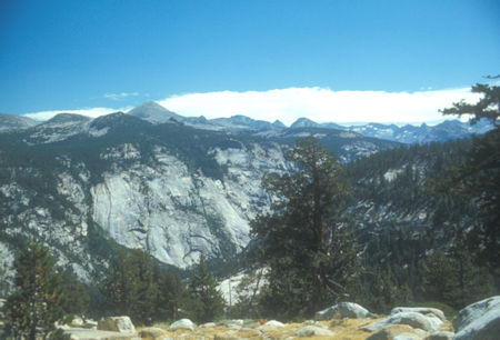
Looking back at Merced River Canyon - Yosemite National Park - Aug 1973
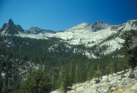
The route to Mount Clark - Yosemite National Park - Aug 1973
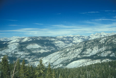
Sunrise country - Yosemite National Park - Aug 1973
Mount Clark, George Brady, Dan Curley
Yosemite National Park - Aug 1973
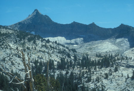
Mount Clark - Yosemite National Park - Aug 1973
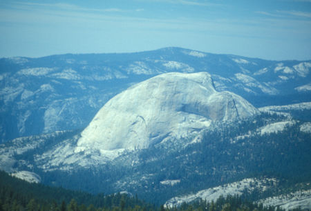
Half Dome - Yosemite National Park - Aug 1973
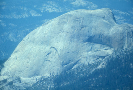
Half Dome - Yosemite National Park - Aug 1973
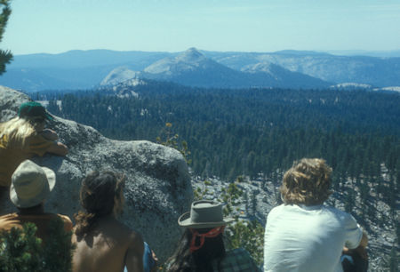
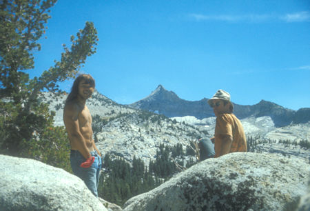
The route to Mount Starr King - Yosemite National Park - Aug 1973
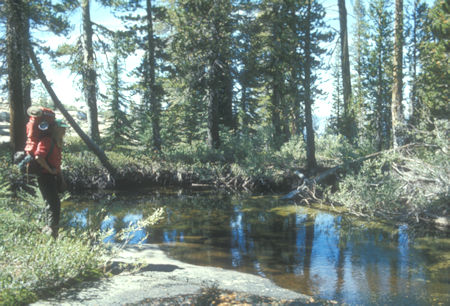
Headwaters of Clark Canyon, Robbie Berube
Yosemite National Park - Aug 1973
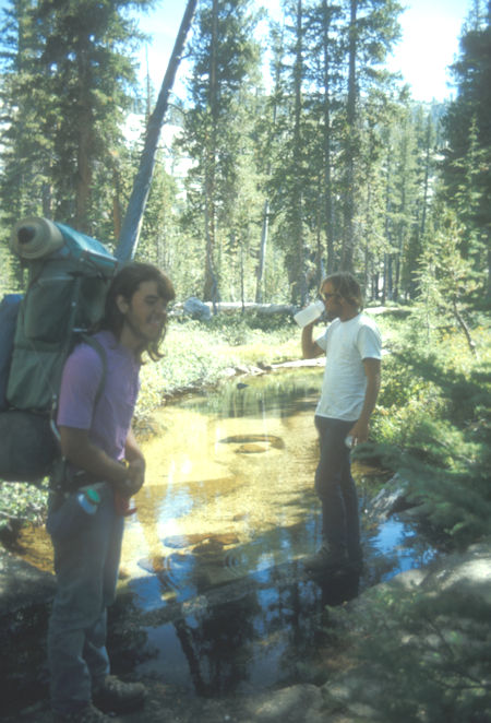
Headwaters of Clark Canyon, George Brady, Paul Smith
Yosemite National Park - Aug 1973
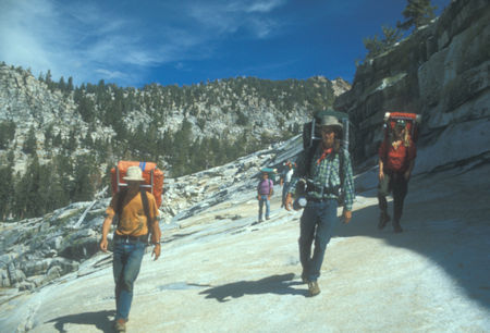
Clark Canyon, Dan Curley, George Brady, Paul Smith, Brian Twohey,
Robbie Berube - Yosemite National Park - Aug 1973
Clark Canyon - Yosemite National Park - Aug 1973
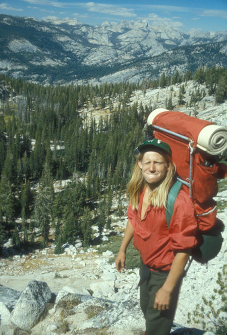
Clark Canyon, Cathedral Range, Robbie Berube
Yosemite National Park - Aug 1973
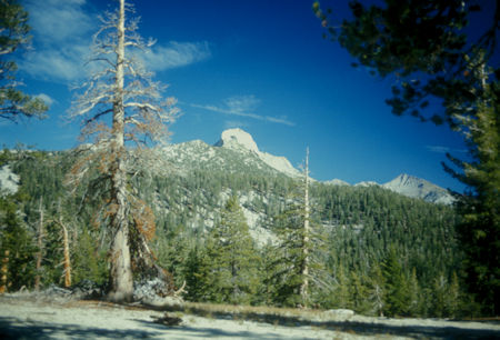
Mount Clark - Yosemite National Park - Aug 1973
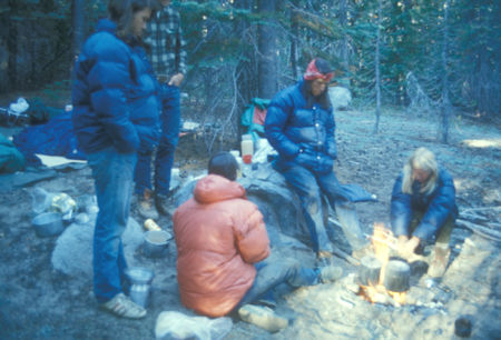
Starr King Meadow camp breakfast - Yosemite National Park - Sep 1973
Saturday morning I made more recon while the crew broke camp after breakfast. After wandering around and taking compass bearings I determined that we were where I had thought we were and found Starr King Lake nearby - completely surrounded by dense forest. Nearby, however, was a sandy meadow and typical Yosemite dome structure which afforded an outstanding view of Half Dome and the Merced River Canyon several thousand feet below.
Later, we all visited the view point before taking up our packs and heading cross-country to intersect the Panorama Trail. We decided to skip a climb of Mount Starr King as we were all tired. The cross-country was easy except we got a little too far east and arrived at the top of some cliffs.
We moved west and with little difficulty intersected the trail just above the intersection with the Happy Isles to Nevada Falls trail. We followed the trail on to Nevada Falls where we ate lunch before moving on to Little Yosemite Valley for a nice campsite at the intersection of Sunrise Creek and the Merced River. We washed up and relaxed.
During the afternoon we used up the remaining cooking oil making "Darn Goods". We knew BEARS were a problem here so we hung our food on a wire stretched between two trees - apparently placed by the Park Service. During supper a small brown bear was seen and chased away.
A solo hiker camped nearby decided to join us for the night and put his food with ours. About 11:30 p.m. after all were in bed, we awoke to find a LARGE BEAR climbing one of the trees and pawing at our food. He ignored our noise making and finally broke the cable (wire) and carted our food off. Being our last night, we just said - that's that - and went back to bed.
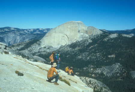
Half Dome from viewpoint near camp - Yosemite National Park - Sep 1973
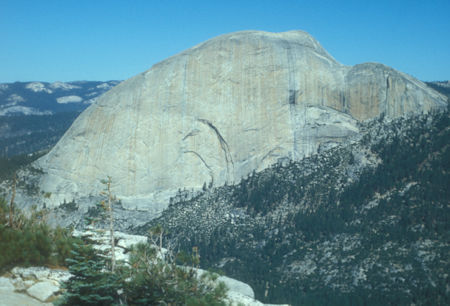
Half Dome from viewpoint near camp - Yosemite National Park - Sep 1973
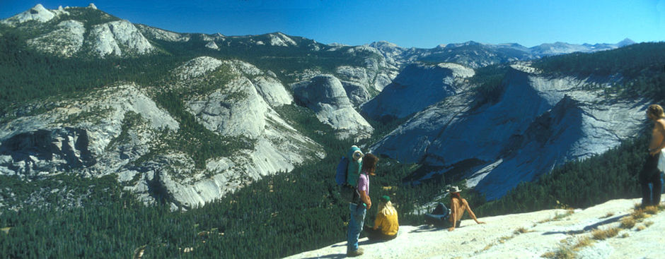
Merced Canyon from viewpoint near camp - Yosemite National Park - Sep 1973
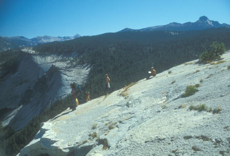
Mount Clark and Merced Canyon from viewpoint near camp
Yosemite National Park - Sep 1973
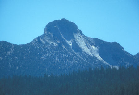
Mount Clark from near camp - Yosemite National Park - Sep 1973
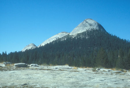
Mount Starr King from near camp - Yosemite National Park - Sep 1973
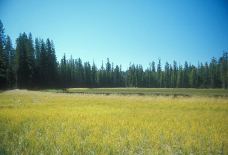
Starr King Lake - Yosemite National Park - Sep 1973
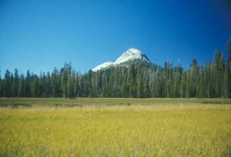
Mount Starr King over Starr King Lake - Yosemite National Park - Sep 1973
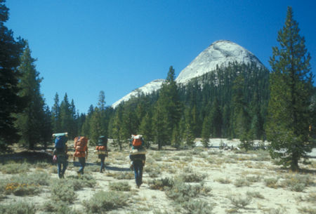
On the way guided by Mount Starr King
Yosemite National Park - Sep 1973
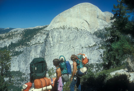
Headed to intersect the trail guided by Half Dome
Yosemite National Park - Sep 1973
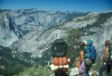
View toward Yosemite Valley - Yosemite National Park - Sep 1973
The next morning we found the bear had eaten everything except the can of bacon and some pancake mix and Bisquick. We cooked the bacon for breakfast and that was it until about 3 p.m. when we had sandwiches in the Valley. I have concluded that you must have both a high hang and at least six feet out from adjacent trees. Also it would be wise to split your food into several caches at different locations on the theory that if the bear gets one, he will be satisfied.
So, Sunday was a hungry day as all but I headed for a climb of Half Dome. I stayed back and cleaned up camp. I had climbed Half Dome in 1966. All were back by 1 p.m. and headed for Yosemite Valley via either the horse trail or the Mist Trail.
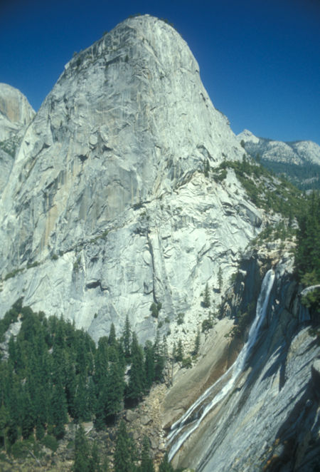
Liberty Cap, Nevada Falls - Yosemite National Park - Sep 1973
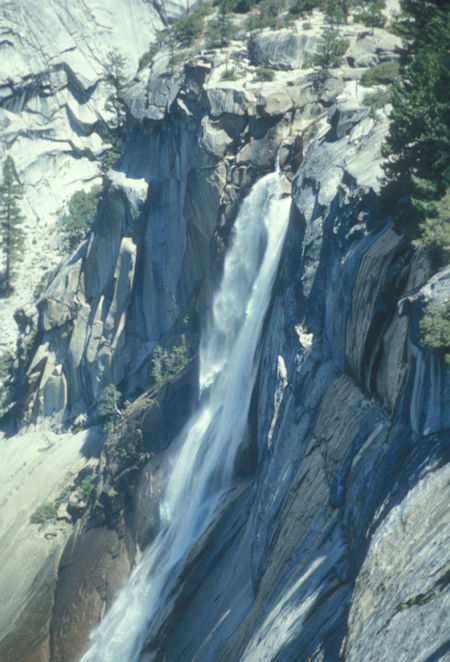
Nevada Falls - Yosemite National Park - Sep 1973
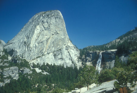
Liberty Cap, Nevada Falls from trail to Yosemite Valley
Yosemite National Park - Sep 1973
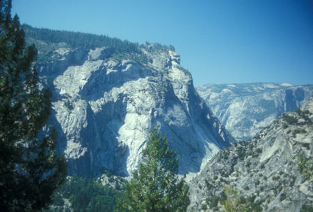
Glacier Point from trail to Yosemite Valley
Yosemite National Park - Sep 1973
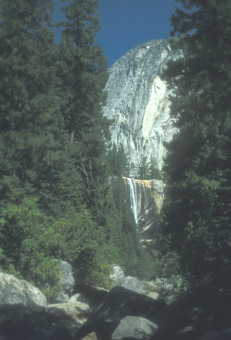
Vernal Falls from trail to Yosemite Valley
Yosemite National Park - Sep 1973
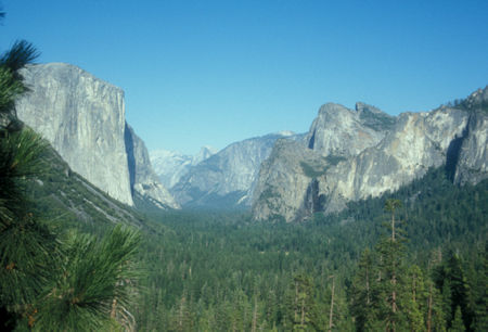
Yosemite Valley from Wawona Tunnel - Yosemite National Park - Sep 1973
We caught the shuttle bus and were at my truck by 3 p.m. Curt was supposed to show up and meet Robbie for further travels on the way to Eureka - but he didn't show, so we made a quick tour of the valley, got some food and headed for the Packer's Fish Camp station to pick up the stuff we had sent out - then on to Fresno where we had hot showers, food and a good night's sleep at Paul Smith's apartment before heading home Monday morning. We were all home by 4 p.m. This was a great trip - good weather - and we learned a little about BEARS.
