On December 22-30, 1973 myself, John Bullock, John Smallwood, Nancy Henderson and Dale McCauley set out to do a winter climb of Mt. Ritter. We travelled about 33 miles on snowshoes up Shadow Creek and down Minaret Creek in the Ansel Adams Wilderness.
We departed San Diego about 5 p.m. Friday, December 21 and drove to Bishop, making camp at Schober Lane around midnight or so. On getting up in the morning we were met by John Bullock who had driven over from Lompoc. He went into Bishop for breakfast while we ate at the car and then all proceeded toward Mammoth.
In-route John skidded on the icy highway and ran off the road - fortunately with no damage. We came along right behind and helped him get back on the road. Chains were required about half way up the hill and we finally checked in at the Forest Service Visitor Center in Mammoth at about 10 a.m., then proceeded to the end of the plowed road beyond the ski lifts but not all the way to Minaret Summit.
We unloaded and I located Nancy Whitacre in the Cafeteria at the lifts where she worked and arranged for her to pick up my truck. After moving John Bullocks truck to a friend's condominium at Mammoth and eating some lunch, we got on the trail about 1 p.m.
We followed the road to the top of Minaret Summit and then followed the top of the ridge north a ways to avoid the avalanche danger along the road - then dropped down to pick up the road and followed it to Agnew Meadows where we made camp around 4 p.m. and cooked supper in the dark.
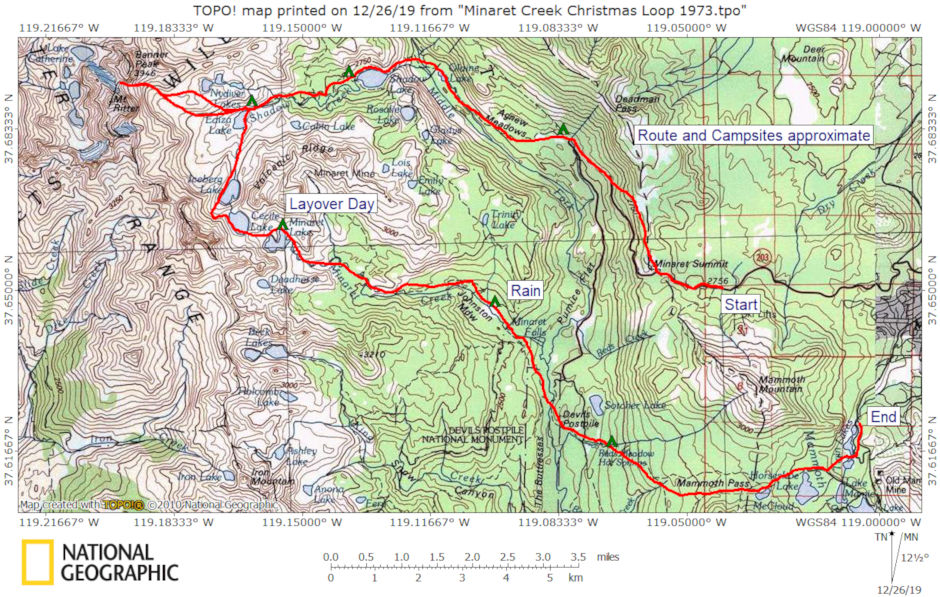
Minaret Winter Loop 1973 Map - approximate route and campsites
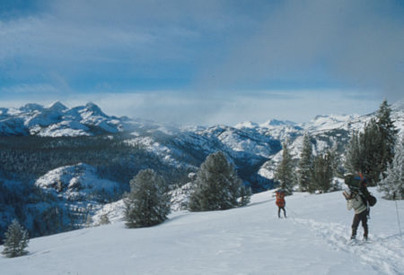
View northwest from Minaret Summit - Ansel Adams Wilderness - Dec 1973
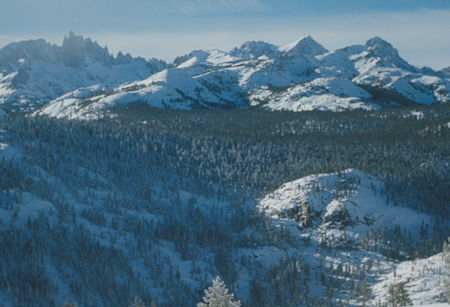
Minarets, Mt. Ritter, Banner Peak from near Minaret Summit
Ansel Adams Wilderness - Dec 1973
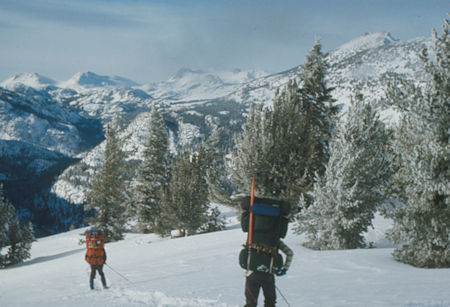
Upper San Joaquin Valley from near Minaret Summit
Ansel Adams Wilderness - Dec 1973
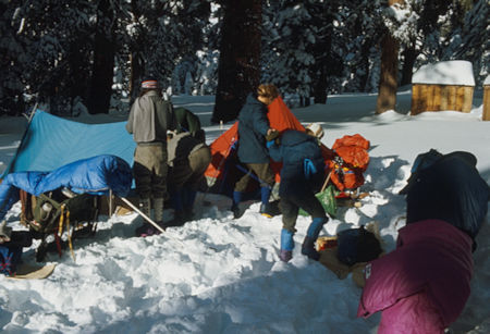
Camp at Agnew Meadows - Ansel Adams Wilderness - Dec 1973
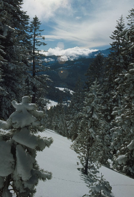
San Joaquin Valley from road to Agnew Meadows - Ansel Adams Wilderness - Dec 1973
There was lots of new deep snow but the low temperature that night was only around 16 degrees. Sunday morning we were on our way around 8:30 a.m. and headed across the meadows to pick up the trail up the San Joaquin River. The weather was cloudy off and on and later in the day we had some light snow flurries.
We soon dropped down to follow the valley draining Olaine Lake and followed blazed trees off and on, At one time we thought we had passed the lake but suddenly came upon its outlet. We decided it might not be frozen solid enough to be safe so located the trail nearby and continued on to a lunch stop about a half mile later.
The wind picked up a little and we had some snow flurries, but no problem. Shortly after lunch we arrived at the San Joaquin River and found a snow covered log bridge allowing easy crossing. We then started up the trail climbing the hill leading into Shadow Lake.
We quickly abandoned the trail as too long and started straight up the hill. We climbed high over relatively easy terrain to stay away from the rocks and possibility of sliding into the creek and drowning. We consumed a lot of energy but soon arrived safely at the Shadow Lake outlet from which we proceeded along the shore to camp near the bridge at the inlet. We made camp around 4 p.m. and again cooked supper in the dark - this time not having to melt snow for water as we were able to reach the creek.
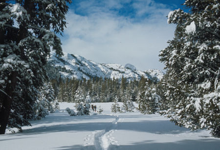
Crossing Agnew Meadows - Ansel Adams Wilderness - Dec 1973
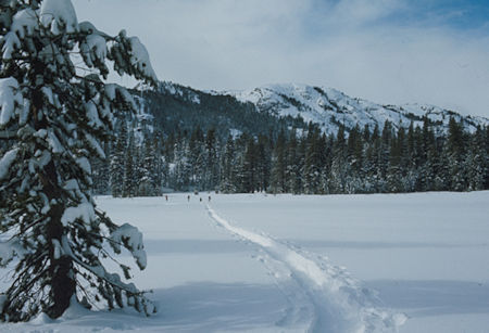
Crossing Agnew Meadows - Ansel Adams Wilderness - Dec 1973
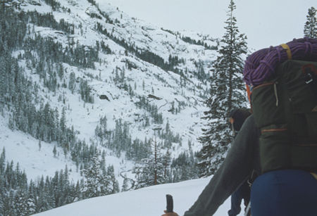
Approaching San Joaquin River - Ansel Adams Wilderness - Dec 1973
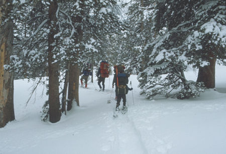
Along the San Joaquin River - Ansel Adams Wilderness - Dec 1973
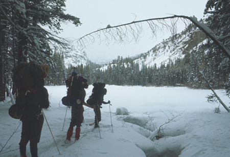
Olaine Lake - Ansel Adams Wilderness - Dec 1973
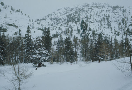
Looking up Shadow Creek drainage - Ansel Adams Wilderness - Dec 1973
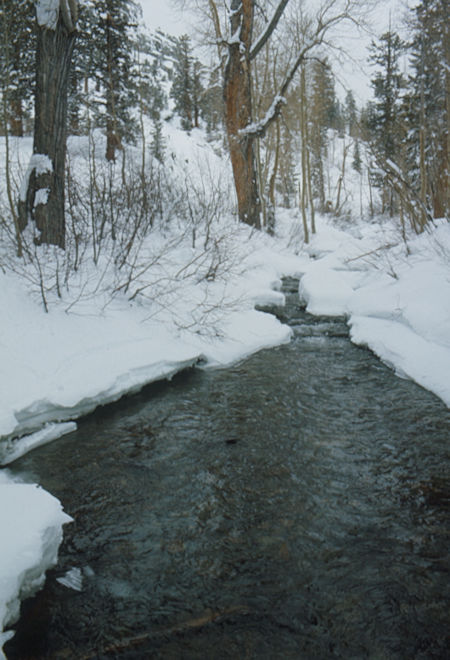
Crossing the San Joaquin River at Shadow Creek - Ansel Adams Wilderness - Dec 1973
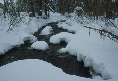
Crossing the San Joaquin River at Shadow Creek - Ansel Adams Wilderness - Dec 1973
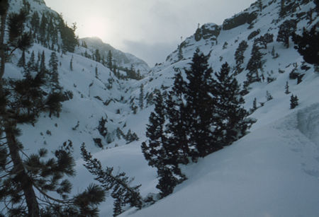
Looking up Shadow Creek - Ansel Adams Wilderness - Dec 1973
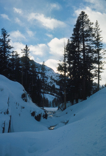
Shadow Lake outlet - Ansel Adams Wilderness - Dec 1973
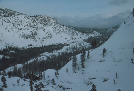
Looking down San Joaquin River from Shadow Creek
Ansel Adams Wilderness - Dec 1973
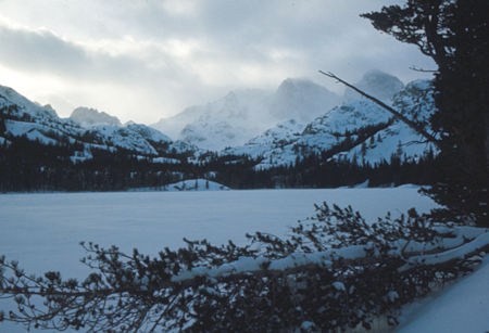
Shadow Lake - Ansel Adams Wilderness - Dec 1973
Monday morning we were on our way around 9 a.m. for what turned out to be a beautiful warm and sunny day. The gentle climb along Shadow Creek was beautiful and we followed tree blazes much of the way. Shortly before our lunch stop we came upon an outstanding view of Banner and Ritter. The day was uneventful except for beautiful weather and scenery. We soon arrived at Lake Ediza and along its shore and then up the slopes toward Banner Peak to camp around 9500 feet elevation near the tree line. It was again around 4 p.m. and supper was in the dark.
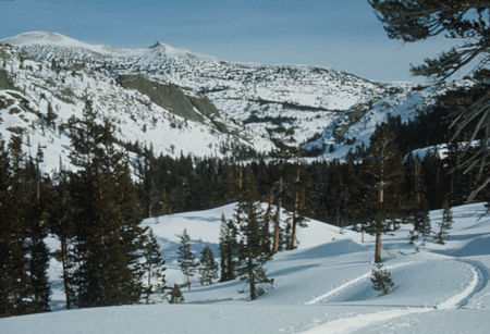
Looking back at Shadow Lake from trail to Lake Ediza
Ansel Adams Wilderness - Dec 1973
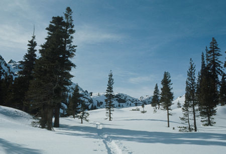
On the trail to Lake Ediza - Ansel Adams Wilderness - Dec 1973
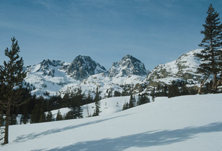
Mt. Ritter, Banner Peak from trail to Lake Ediza - Ansel Adams Wilderness - Dec 1973
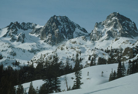
Mt. Ritter, Banner Peak from trail to Lake Ediza - Ansel Adams Wilderness - Dec 1973
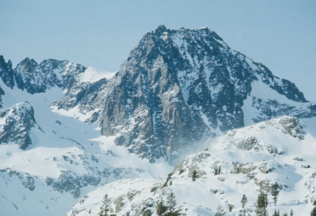
Mt. Ritter from trail to Lake Ediza - Ansel Adams Wilderness - Dec 1973
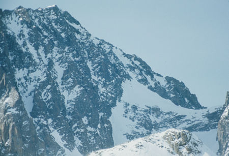
Mt. Ritter and Ritter/Banner saddle from trail to Lake Ediza
Ansel Adams Wilderness - Dec 1973
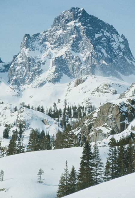
Mt. Ritter from trail to Lake Ediza - Ansel Adams Wilderness - Dec 1973
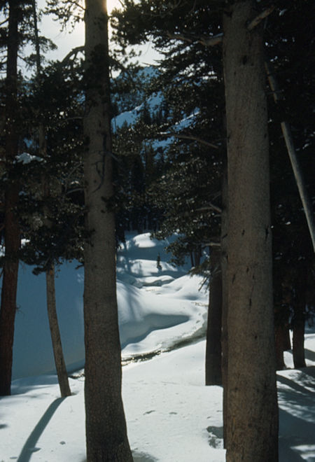
Shadow Creek below Lake Ediza - Ansel Adams Wilderness - Dec 1973
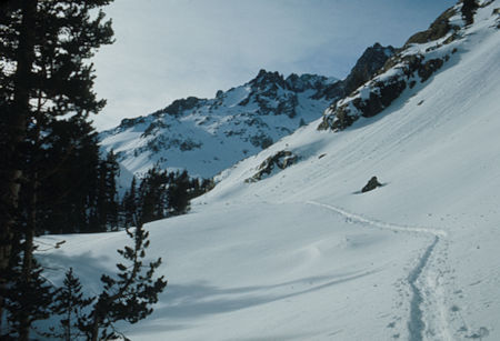
On the trail to Lake Ediza - Ansel Adams Wilderness - Dec 1973
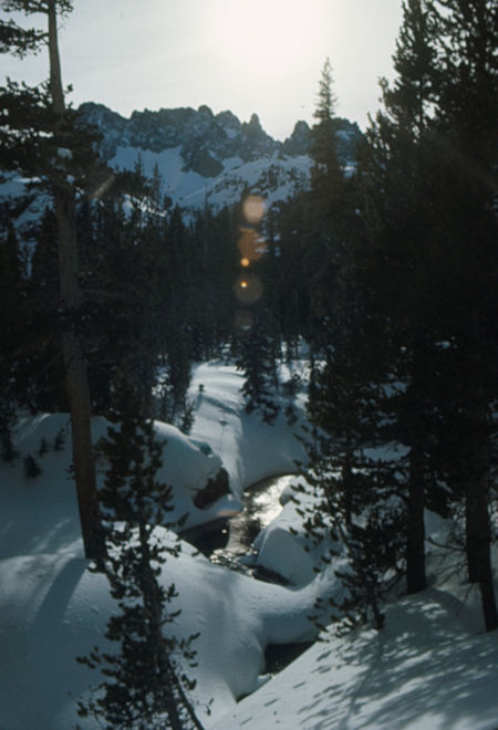
Shadow Creek below Lake Ediza - Ansel Adams Wilderness - Dec 1973
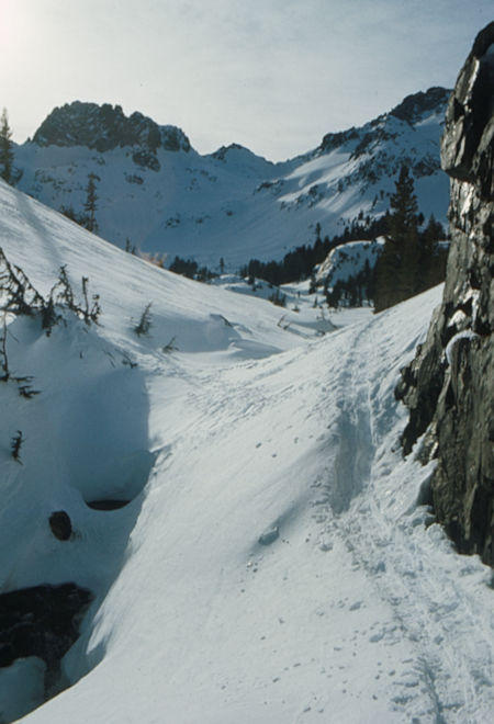
Lake Ediza outlet - Ansel Adams Wilderness - Dec 1973
Tuesday morning, Christmas Day we got an early start - around 8 a.m. - and headed for the saddle between Banner and Ritter with plans on John Smallwood's mind to climb Ritter. It was sunny but quite windy and gusty. It was a long slog across the lower slopes but for the most part we didn't sink in due to the hard crust (wind slab) and lack of heavy packs.
We finally got on the steeper slopes and the gang except for me went more or less straight up and eventually removed there snowshoes. I did a series of switch backs and got a little higher before removing my snowshoes. After some lunch, I continued on using their kicked steps. As usual, I had fallen steadily behind and when I reached about 200 feet below the saddle I met them starting down.
It seems the wind on the saddle was very strong and cold and this combined with the time (around 2 p.m.) made them decide to forget about climbing anything. It did seem likely that we could have climbed Banner without too much trouble but we would have gotten back fairly late. We enjoyed some tremendous views from these upper slopes around 12000 feet elevation. On the way back I glissaded much of the way and then John Bullock and I made a slight side trip over to view the frozen Nydiver Lake basin before returning to camp. We managed to cook supper before it got dark and then all sat in Nancy's tent for several hours telling tall tales, etc.
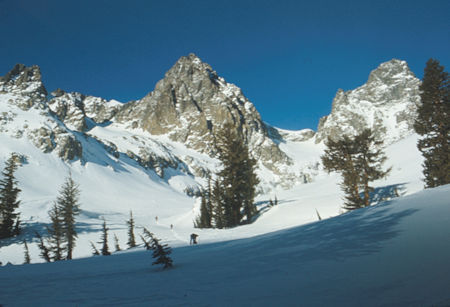
Mt. Ritter and Banner Peak on the way to saddle - Ansel Adams Wilderness - Dec 1973
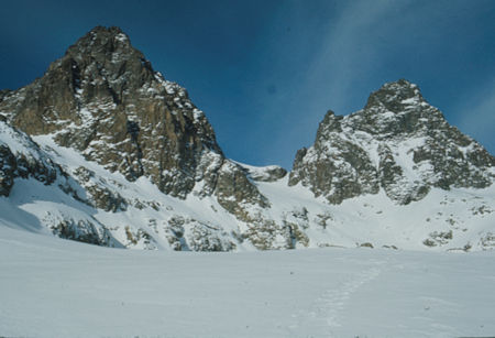
Mt. Ritter and Banner Peak on the way to saddle - Ansel Adams Wilderness - Dec 1973
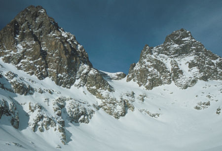
Mt. Ritter and Banner Peak on the way to saddle - Ansel Adams Wilderness - Dec 1973
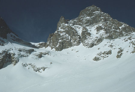
Banner Peak on the way to saddle - Ansel Adams Wilderness - Dec 1973
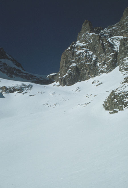
Approaching Ritter/Banner saddle - Ansel Adams Wilderness - Dec 1973
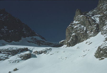
Approaching Ritter/Banner saddle - Ansel Adams Wilderness - Dec 1973
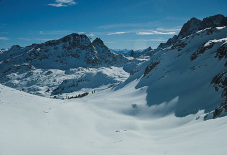
Looking back down below the Ritter/Banner saddle - Ansel Adams Wilderness - Dec 1973
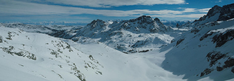
Looking back down below the Ritter/Banner saddle - Ansel Adams Wilderness - Dec 1973
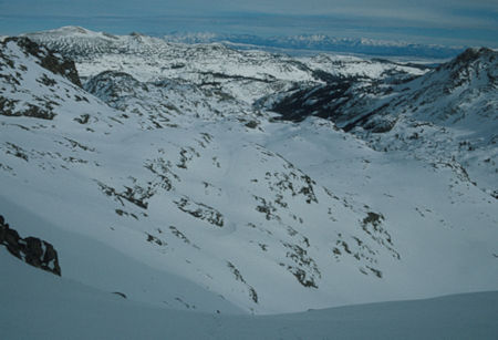
Looking toward San Jouquin Valley from below the Ritter/Banner saddle
Ansel Adams Wilderness - Dec 1973
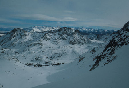
Looking toward the pass to Minaret Creek (right) from below the Ritter/Banner saddle
Ansel Adams Wilderness - Dec 1973
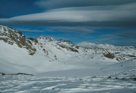
Frozen Nydiver Lakes from below the Ritter/Banner saddle
Ansel Adams Wilderness - Dec 1973
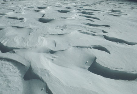
Wind blown snow pattern - Ansel Adams Wilderness - Dec 1973
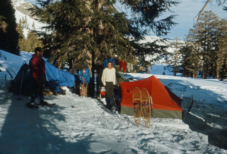
Camp above Lake Ediza - Ansel Adams Wilderness - Dec 1973
Wednesday morning we decided to change our plans and go out via the Minaret Creek route (we had planned to return via Shadow Creek as we had come). It started out as a beautiful sunny day as we traversed over and climbed to Iceberg Lake at about 9800 feet. We snowshoed across the frozen lake to its southwestern shore and snowshoed up the slope and most of the way to the shoulder creating Cecile Lake.
Here we had to take off our snowshoes due to steepness and slipperiness. We soon got into some rock and caution became the word. Dale roped up with John Bullock doing an ice axe belay as he stomped steps across the steeper slope. He had no real problem but proceeded slowly.
Unfortunately we were not too well organized and John Smallwood, Nancy and myself had to spend an hour or so standing around waiting on Dale and John Bullock to complete the route. There was only about 200 feet of problem but we used up a lot of time negotiating it. Dale and John Bullock set up upper belays as soon as they got across and with our two ropes belayed Nancy and John Smallwood while I waited. I followed as soon as the ropes were available and we all topped out around 5 p.m. finally.
In the meantime the weather had been gathering and the clouds really began to move in. We ate some snacks and then headed across the frozen Cecile Lake at about 10,500 feet and dropped down to Minaret Lake where we made a late camp around 4:30 p.m. It is interesting to note that Cecile Lake drains into Iceberg Lake but could just as easily drain into Minaret Lake and probably drains both ways when water is high.
The snow picked up along with the wind as we made camp and supper was started in the dark - and my butane lantern ran out of fuel right away so we had to use our flashlights which refused to function properly most of the time. We finally hit the sack and had a windy and snowy night.
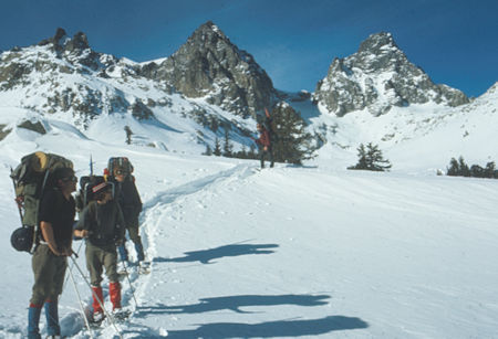
Looking back at Mt. Ritter and Banner Peak as we headed for Minaret Creek
Ansel Adams Wilderness - Dec 1973
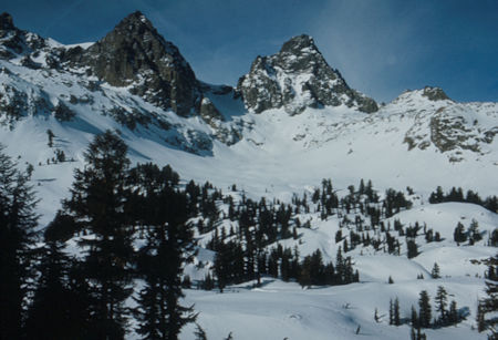
Mt. Ritter and Banner Peak as we headed for Minaret Creek
Ansel Adams Wilderness - Dec 1973
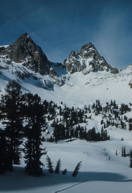
Mt. Ritter and Banner Peak as we headed for Minaret Creek
Ansel Adams Wilderness - Dec 1973
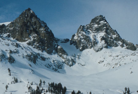
Mt. Ritter and Banner Peak from below Iceberg Lake
Ansel Adams Wilderness - Dec 1973
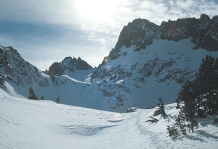
Approaching Iceberg Lake and slope to Cecile Lake - Ansel Adams Wilderness - Dec 1973
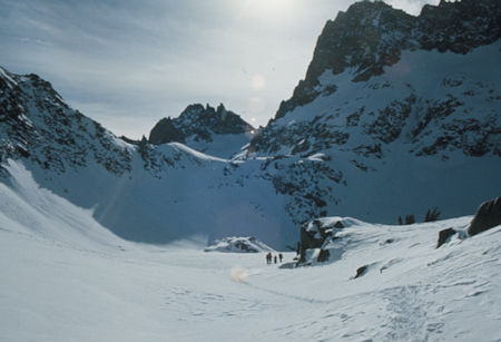
Iceberg Lake and slope to Cecile Lake - Ansel Adams Wilderness - Dec 1973
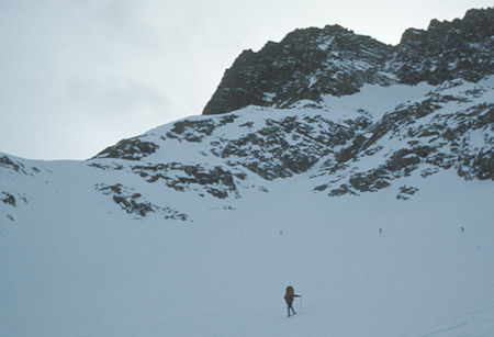
Climbing the slope above Iceberg Lake on the way to Cecile Lake
Ansel Adams Wilderness - Dec 1973
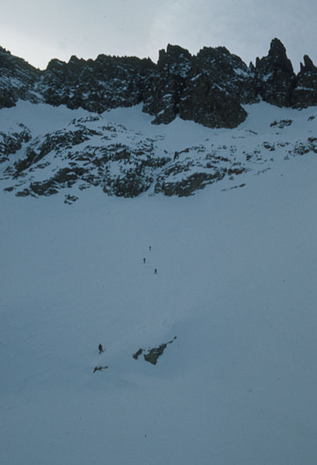
Crossing Iceberg Lake below the Minarets - Ansel Adams Wilderness - Dec 1973
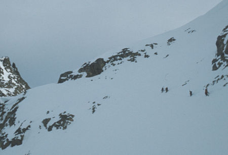
Final pitch above Iceberg Lake - Ansel Adams Wilderness - Dec 1973
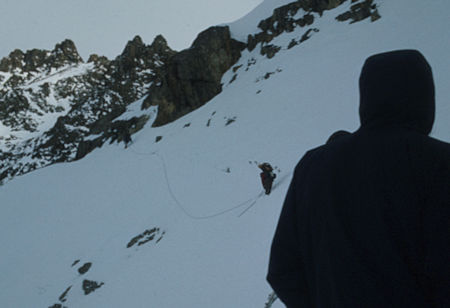
Final pitch above Iceberg Lake - Ansel Adams Wilderness - Dec 1973
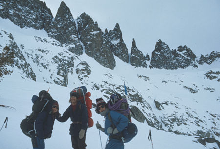
On the "summit" between Iceberg and Cecile Lakes, Minarets in back
Ansel Adams Wilderness - Dec 1973
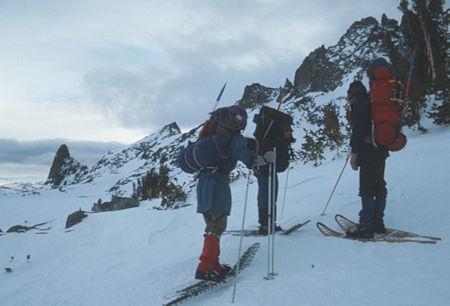
On the "summit" overlooking Cecile Lake - Ansel Adams Wilderness - Dec 1973
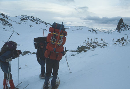
Headed for Cecile Lake - Ansel Adams Wilderness - Dec 1973
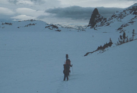
Crossing Cecile Lake - Ansel Adams Wilderness - Dec 1973
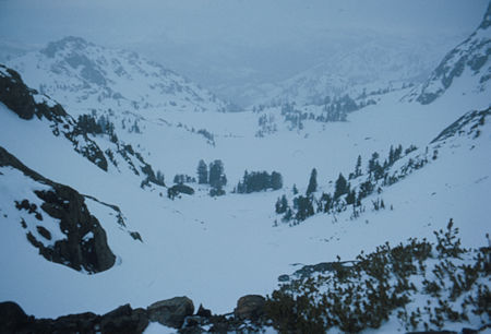
Descending to Minaret Lake - Ansel Adams Wilderness - Dec 1973
It snowed about a foot by morning and then eased off. We decided to stay put until the weather improved so spent a lazy day mostly sleeping. The rest actually did us some good I think. It snowed about another three inches during the day but we were able to get outside at times without great unpleasantness. This was Thursday, and during the night it got quite windy but all equipment survived in fine shape.
I didn't get any pictures on the Thursday layover day due to the weather.
Friday morning the weather was better so we decided to move on down Minaret Creek. The weather never lifted although we would catch glimpses of blue sky occasionally. John Bullock had been along this route in the winter before so he helped us find a good route down the north side of the creek. There were no problems except a few places where the creek wandered around quite a bit.
The fresh snow was wet and made trail breaking tiring. Around Johnston Meadow we ran onto the trail of another snowshoe party who had apparently retreated the day before or earlier that day. This made our going much easier and we reached the junction with the John Muir Trail around 4 p.m. and made camp in a wet snowfall which later turned to rain.
RAIN we were not prepared for - we didn't have any rain flys for the tents and the problem got worse. John Bullock's sleeping bag got soaked while the rest of us got wet to varying degrees. I managed to stay fairly dry by covering my sleeping bag with my waterproof wind pants, 60-40 wind parka, gaiters and finally hanging my poncho inside the tent.
Nancy and John Smallwood put there space blanket ground sheet over their bags but the tops got wet. Around 2 a.m. John Bullock was in danger of developing Hypothermia so he moved into John's and Nancy's double (zipped together) bag and the three of them stayed warm until morning.
I didn't get any pictures on Friday due to the weather.
Saturday morning we packed up and broke new trail (since the other people went a direction we didn't want to go) along the John Muir Trail to the bridge crossing on the San Joaquin River at the Devil's Postpile, then to the Postpile Ranger Station which was sealed up but had a working pay telephone.
I called Roger Whitacre in Mammoth to tell him our plans and John Smallwood called home. We then followed the road around to the Red's Meadow Resort Pack Station where we planned to break in if necessary to get shelter and warmth since it was too far to go out over Mammoth Pass that day. To our surprise we found Carl McCoy (whose dad owns Mammoth Mtn Ski Resort) living in a cabin for the winter as caretaker. He had another cabin stocked with wood and gasoline lanterns so we moved in and got the stove roaring to dry things out.
Carl had some extra blankets to replace the wet sleeping bags. I was in about the best shape and managed to dry most of my gear out pretty well. Nancy called home from the pay phone here and we enjoyed a pleasant afternoon and evening. The weather started to clear during the afternoon which helped.
I didn't get any pictures on Saturday due to the weather, etc.
Sunday morning was cold and sunny as we got an early start. The rained upon snow was frozen so we had a generally hard surface to walk on as we started up the steep hill. Later we again ran onto the trail broken by the other party and it was a frozen sidewalk. We were able to take off our snowshoes and walk on it. This made it much easier and we made good time. The only problem was we had to go where they went and as they neared the pass they were apparently traveling blind and paralleled the pass instead of going on over it.
We finally stopped for lunch and set out breaking our own trail. This quickly turned into work as the snow had warmed up and gotten soft and wet. Being the heaviest, I lagged behind. The views as we climbed were great - where you could see beyond the trees. Finally crossed Mammoth Pass and started down the easy other side toward Twin Lakes where Roger Whitacre had moved my truck.
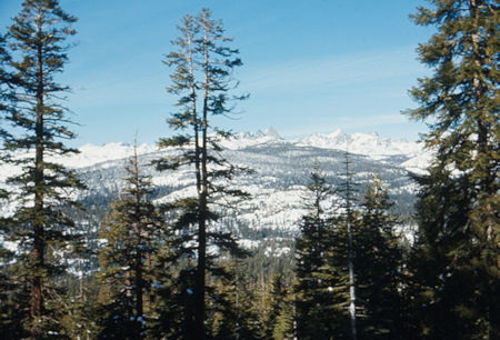
Mt. Ritter and Banner Peak from slopes leading up to Mammoth Pass
Ansel Adams Wilderness - Dec 1973
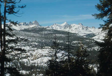
Mt. Ritter and Banner Peak from slopes leading up to Mammoth Pass
Ansel Adams Wilderness - Dec 1973
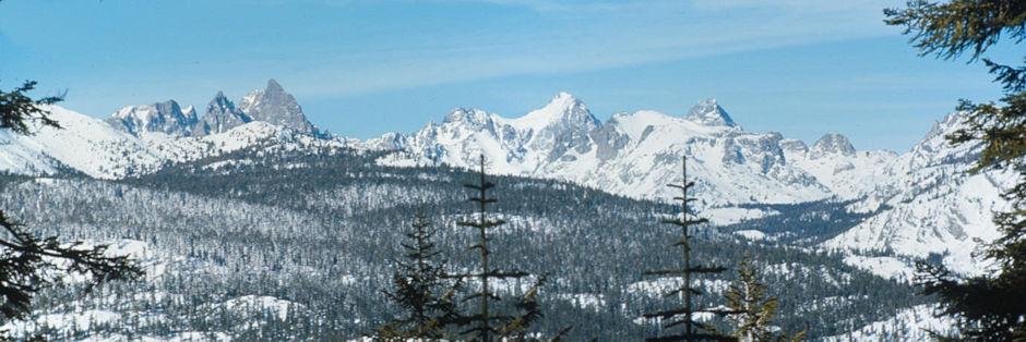
Minarets, Mt. Ritter, Banner Peak from slopes leading up to Mammoth Pass - Ansel Adams Wilderness - Dec 1973
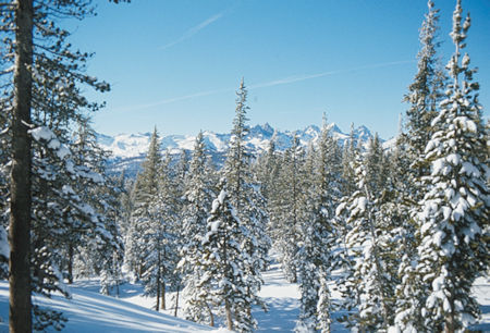
Minarets, Mt. Ritter, Banner Peak from near Mammoth Pass
Ansel Adams Wilderness - Dec 1973
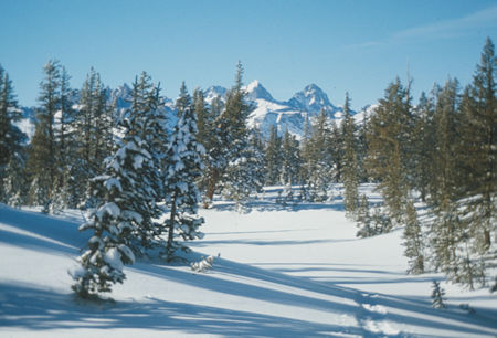
Mt. Ritter, Banner Peak from Mammoth Pass - Ansel Adams Wilderness - Dec 1973
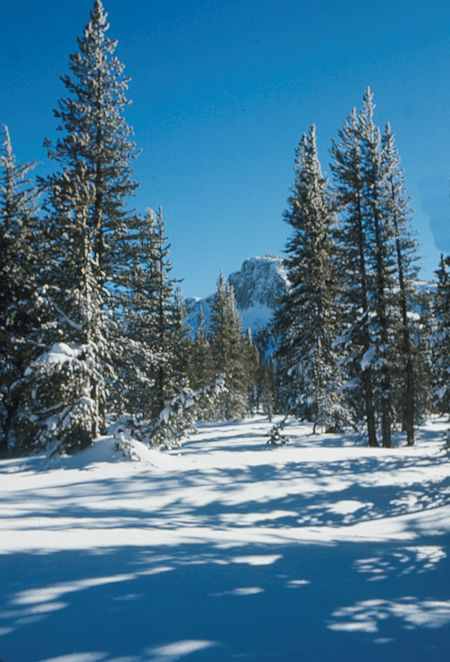
Mammoth Crest from Mammoth Pass - Ansel Adams Wilderness - Dec 1973
Met several ski tourers on their way up as I approached the road end at Horseshoe Lake. Followed the road a while and then cut down the steep slope to cross the bridge between the two Twin Lakes. I caught up with the gang at the bridge and we proceeded to the cars arriving around 3 p.m.
We headed down to the Whitacre's condominium for hot showers and food. After picking up John Bullock's truck I headed up to the Ski Lifts to return some borrowed avalanche cords and got caught in a giant traffic jam of skiers coming off the mountain. It had been the biggest day in the history of the lift with over 11,000 skiers. It took about two hours to complete my errand before I got my hot shower.
We spent the night at the Whitacre's and then headed home Monday morning as a snow storm was beginning - it turned out to be a whopper with 5-4 feet of new snow at Mammoth - seems we got out just in time. It even snowed two feet in Victorville later in the week. We got home around 5 p.m. after a great trip - AND, we learned to always go prepared for rain!!!!!!!
We covered about 4 miles a day, each travel day and totaled about 33 miles.