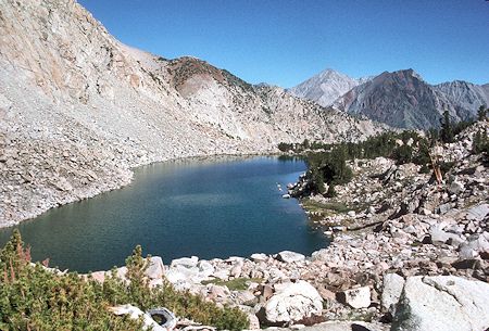
One of the Gable Lakes - John Muir Wilderness 10 Jul 1977
On July 9-10, 1977, myself, Jim Nettleton and Tom Lanshaw made a 13 mile round trip backpack to the Gable Lakes.
I left Lone Pine at 6 a.m. and picked up Jim and Tom in Bishop about 7:15. We hit the steep trail up Gable Creek about 8 a.m.
We stopped in about a mile at a Tungstar Mine tramway tower to rest and take pictures.
Stopped about 11:15 in a valley about a mile below the "cabin" on the creek for lunch and rest.
We made the cabin about 1 p.m. and talked to two boys who had been camped there for several days. They had had good fishing in the lake just above the mine to the south.
We hiked up the trail to the mine and spent an hour or so exploring the compressor, mill and related stuff before moving on to camp at the largest southern lake. We camped across the outlet and up the shore a short ways.
Tom and Jim went fishing and pulled in 6 inch Brown Trout as fast as they could throw out flies.
After breakfast Sunday, Jim and I climbed over easy terrain up the lake basin to a saddle which leads over to Hanging Valley and Horton Lake - a possible route to climb Mt. Tom and or visit the Hanging Valley and Tungstar Mines. We then followed the ridge to its highest point - Peak 12,224. We had excellent views of the Gable Lakes and also Mt. Tom and the Horton Lakes.
Around 2 p.m. we descended directly to camp over class 3 terrain - contouring west from gully to gully. Not too difficult but required some care in route finding to avoid dropping down to dangerous parts of the gullies. Arrived at camp about 3:30 p.m. and headed down about 4 p.m., arriving at the car just after 6 p.m. It was a great trip.
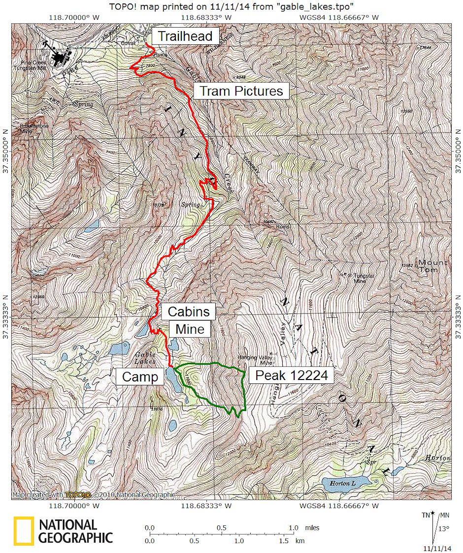
The RED line is the route to camp. The GREEN line is the route climbed to Peak 12224 - up via the saddle on the south, then directly down to camp
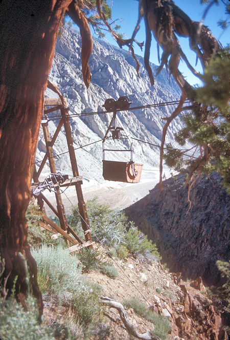
Tungstar Mine Tramway on Gable Lakes Trail - 09 Jul 1977
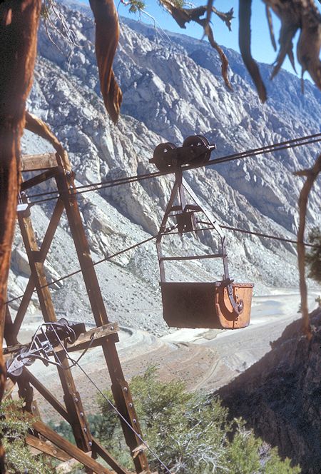
Tungstar Mine Tramway on Gable Lakes Trail - 09 Jul 1977
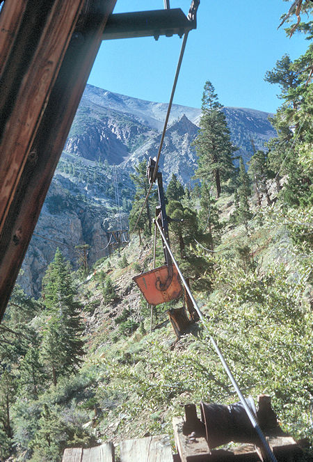
Tungstar Mine Tramway on Gable Lakes Trail - 09 Jul 1977
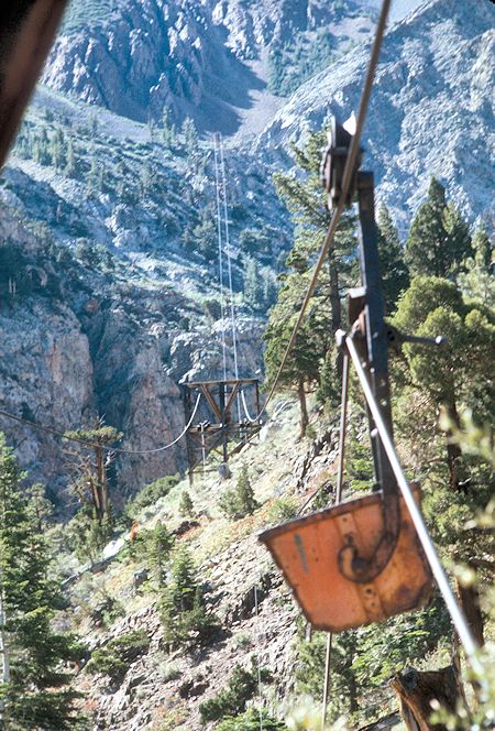
Tungstar Mine Tramway on Gable Lakes Trail - 09 Jul 1977
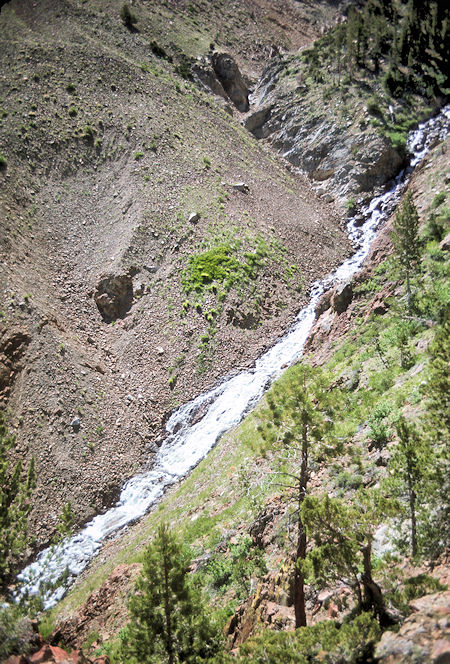
Gable Creek - 09 Jul 1977
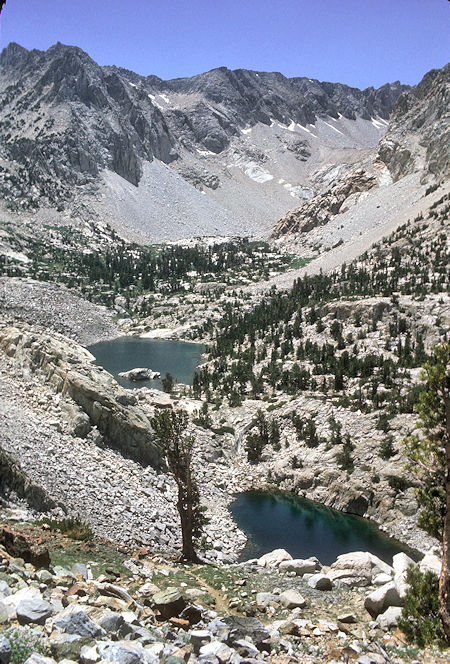
Gable Lakes - 09 Jul 1977
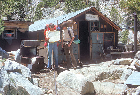
Mine cabin on Gable Creek trail - 09 Jul 1977
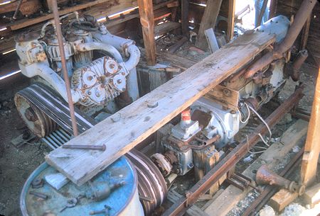
Compressor at Gable Lakes mine - 09 Jul 1977
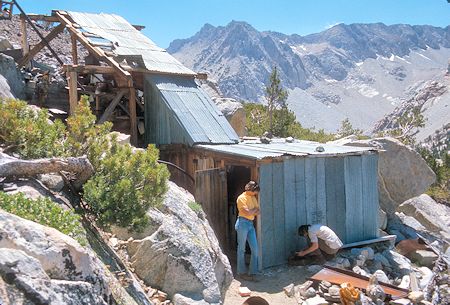
Gable Lakes mine mill - 09 Jul 1977
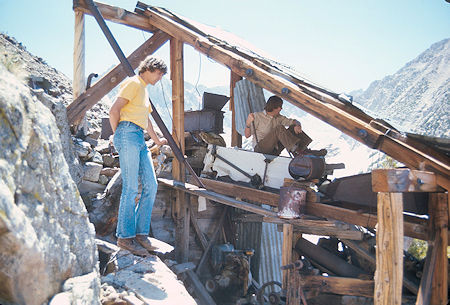
Gable Lakes mine mill - 09 Jul 1977
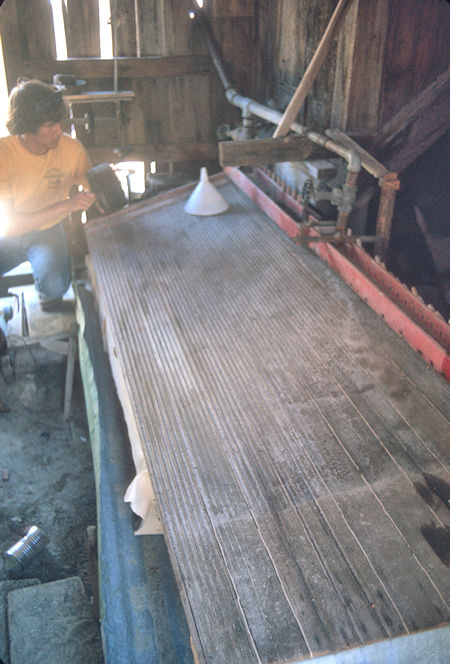
Gable Lakes mine mill - 09 Jul 1977

One of the Gable Lakes - 10 Jul 1977
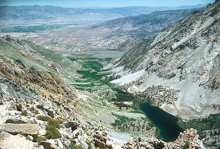
Horton Lake from the saddle above Hanging Valley on the way to Peak 12224. The beginning of the road to Hanging Valley can be seen as it starts up the slope from the lake - 10 Jul 1977
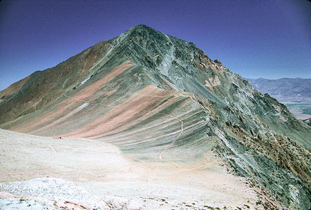
Mt Tom from the saddle above Hanging Valley on the way to Peak 12224. The road coming up from Horton Lake can be seen near the lower right. The Tungstar Mine can be seen above the end of the road left of center. The Hanging Valley Mine can just barely be seen toward the middle left - 10 Jul 1977
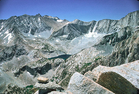
Upper Horton Lake from from the saddle on the way to Peak 12224 - 10 Jul 1977
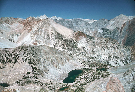
Gable Lakes from the saddle on the way to Peak 12224 - 10 Jul 1977
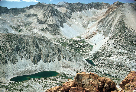
Gable Lakes from Peak 12224 - 10 Jul 1977