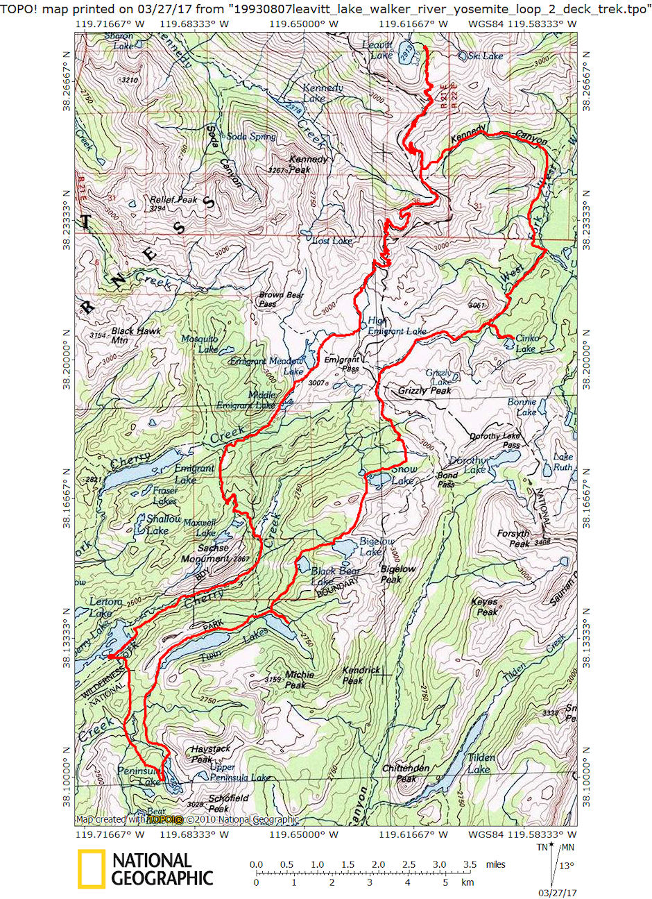
On August 7-15, 1993 myself and Gil Beilke backpacked on a loop from Leavitt Lake into the Emigrant/Hoover Wilderness and Yosemite National Park.
We took the Leavitt Lake road from Highway 108 below Sonora Pass. This road is four wheel drive to the lake but is supposed to almost be okay for regular vehicles. My International had no problems. The lake is three miles in.
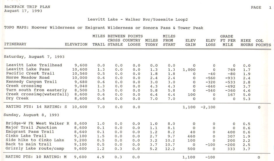
First day, follow old closed mining road up to meet the Pacific Crest Trail coming from Sonora Pass. The PCT sometimes follows the road, sometimes goes it's own way along the ridge. (All references to "road" in the schedule refer to the old closed mining road). At a saddle, the Kennedy Canyon Trail and PCT turn east.
We followed the PCT down into Kennedy Canyon to the east. The trail makes a hard right turn to the south and in a half mile or so we came to a creek with a waterfall. We continued on to Dry Creek to camp.

Leavitt Lake looking toward Leavitt Peak - Aug 1993
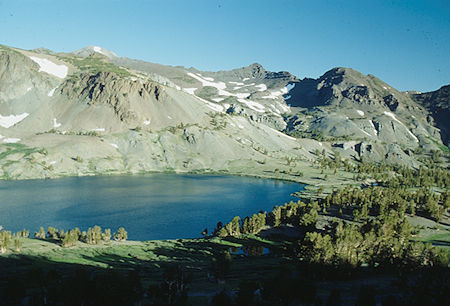
Leavitt Lake from trail (road) - Aug 1993
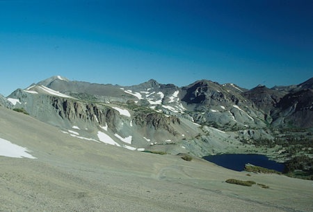
Leavitt Lake and Leavitt Peak from near Leavitt Lake Pass - Aug 199
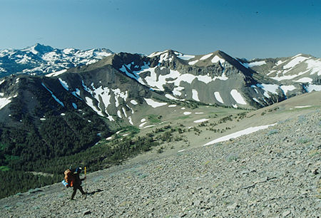
Looking down at Kennedy Lake Pass, Tower Peak, Big Sam, Gil Beilke
Hoover Wilderness - Aug 1993
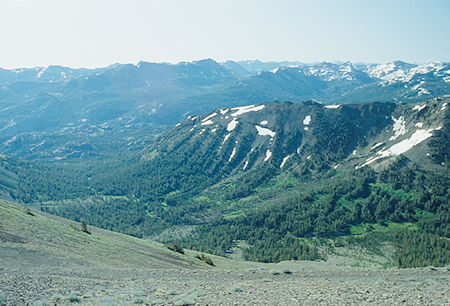
Looking down Kennedy Canyon - Hoover Wilderness - Aug 1993
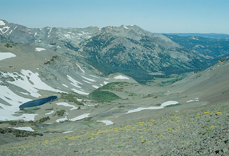
unnamed Lake, Lower Kennedy Creek from PCT - Hoover Wilderness - Aug 1993
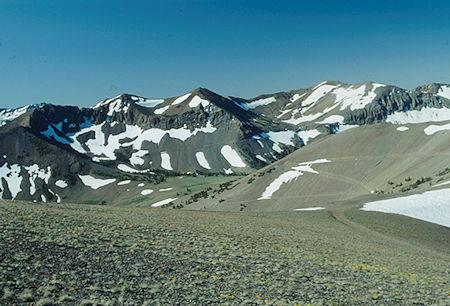
Kennedy Pass, Big Sam - Hoover Wilderness - Aug 1993
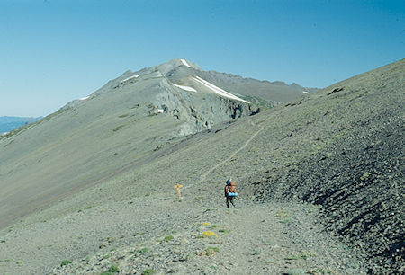
Looking north on PCT toward Leavitt Peak - Hoover Wilderness - Aug 1993
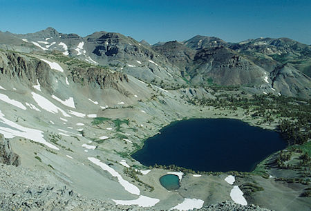
Leavitt Lake from PCT - Hoover Wilderness - Aug 1993
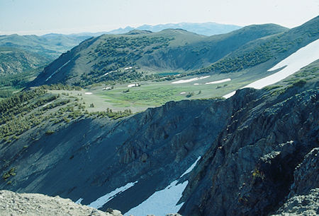
Ski Lake from PCT - Hoover Wilderness - Aug 1993
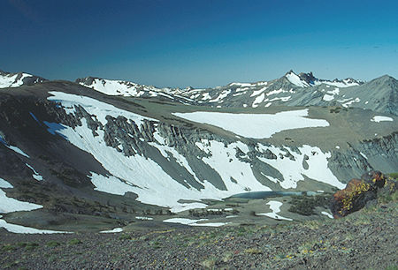
Unnamed Lake from PCT, Molo Mountain, Kennedy Peak - Hoover Wilderness - Aug 1993

Unnamed Lake from PCT, Molo Mountain, Kennedy Peak, Gil Beilke - Hoover Wilderness - Aug 1993
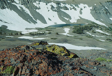
Unnamed Lake from PCT - Hoover Wilderness - Aug 1993
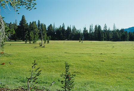
Walker Meadow - Hoover Wilderness - Aug 1993
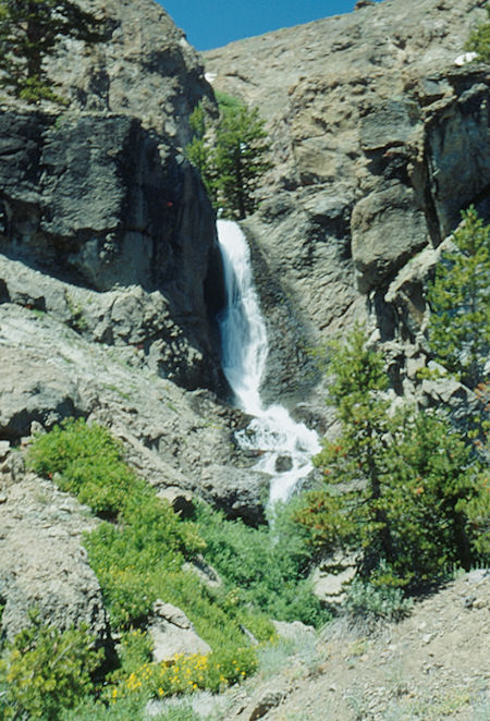
Waterfall on side creek near Walker Meadow - Hoover Wilderness - Aug 1993
Second day, followed the PCT to a bridge across the West Fork of the West Walker River to a major trail junction. From the junction we followed the PCT a short distance and then went right following the river upstream. At the Cinko Lake trail, we made a half mile side trip to see the lake and returned to the main trail. Continued up the river to the meadow below Emigrant Pass and went south cross-country toward Grizzly Lake. Camped near Grizzly Lake.
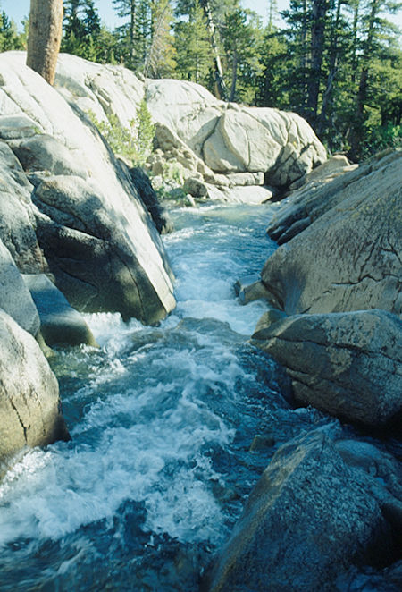
West Walker River above Walker Meadow - Hoover Wilderness - Aug 1993
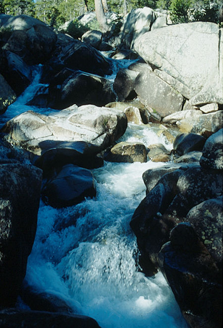
West Walker River above Walker Meadow - Hoover Wilderness - Aug 1993
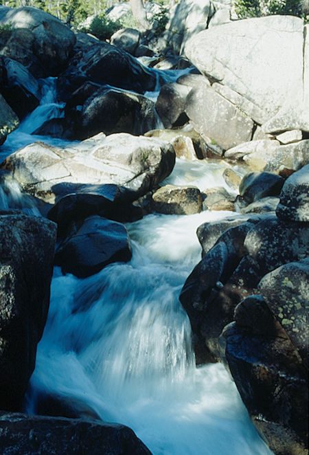
West Walker River above Walker Meadow - Hoover Wilderness - Aug 1993
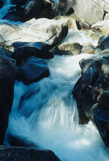
West Walker River above Walker Meadow - Hoover Wilderness - Aug 1993
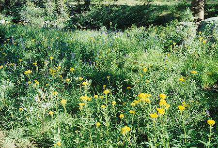
Flower Garden along West Walker River - Hoover Wilderness - Aug 1993
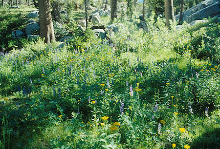
Flower Garden along West Walker River - Hoover Wilderness - Aug 1993
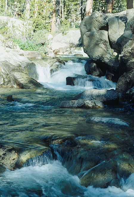
West Walker River - Hoover Wilderness - Aug 1993
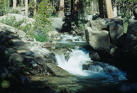
West Walker River - Hoover Wilderness - Aug 1993
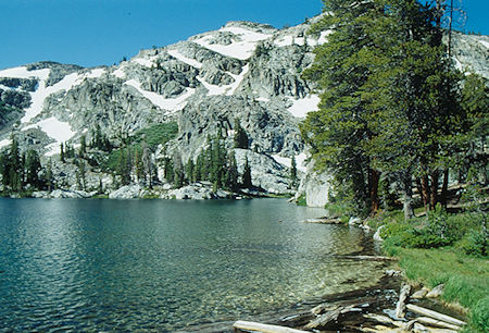
Cinko Lake - Hoover Wilderness - Aug 1993

Cinko Lake - Hoover Wilderness - Aug 1993
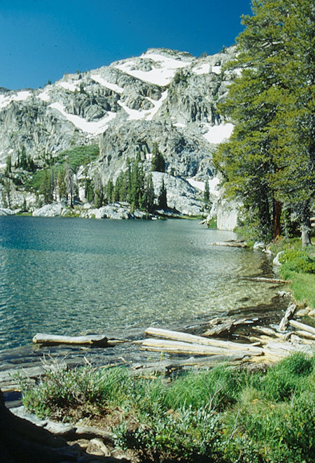
Cinko Lake - Hoover Wilderness - Aug 1993
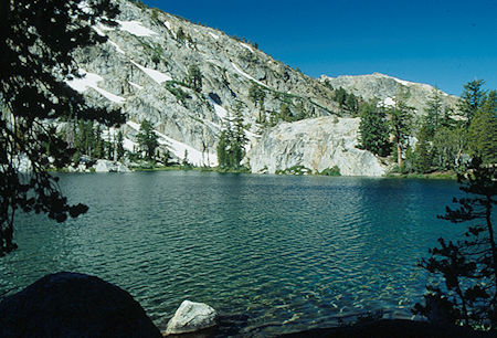
Cinko Lake - Hoover Wilderness - Aug 1993
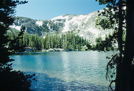
Cinko Lake - Hoover Wilderness - Aug 1993
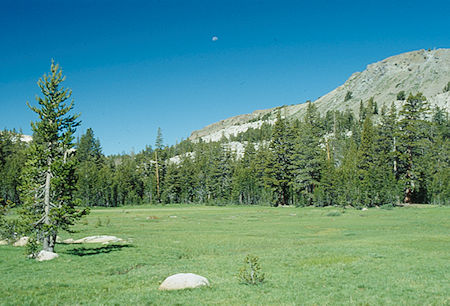
Moon over meadow near Cinko Lake - Hoover Wilderness - Aug 1993
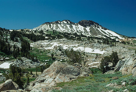
Grizzly Peak near Emigrant Pass - Hoover Wilderness - Aug 1993
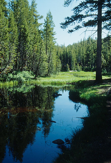
Pond near Cinko Lake - Hoover Wilderness - Aug 1993
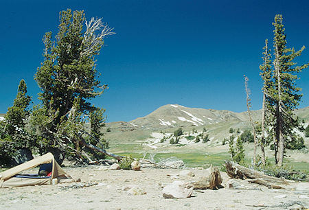
Big Sam from camp at meadow near Grizzly Peak - Hoover Wilderness - Aug 1993
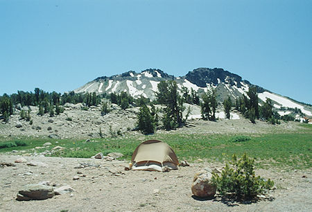
Grizzly Peak from camp at meadow near Grizzly Lake - Hoover Wilderness - Aug 1993

Meadow near Emigrant Pass, Big Sam (center right) - Hoover Wilderness - Aug 1993
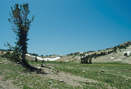
Looking toward Emigrant Pass - Hoover Wilderness - Aug 1993
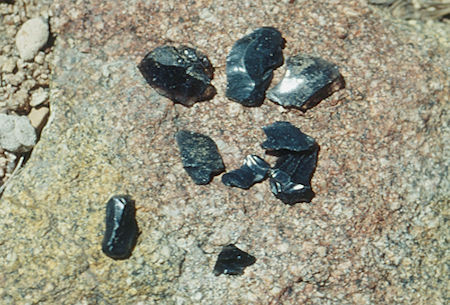
Obsidion chips found near Emigrant Pass - Hoover Wilderness - Aug 1993
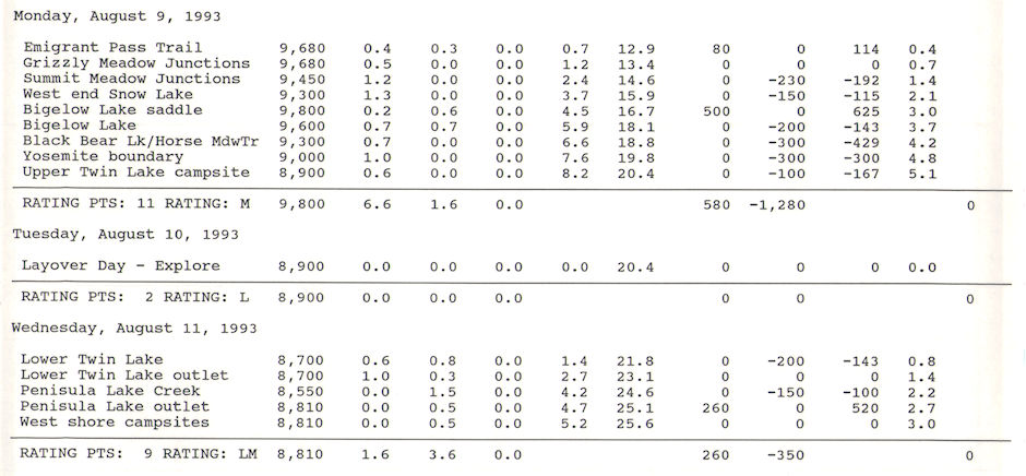
Third day, returned to the main trail and continued to the crest. We actually crossed about a half mile south of the true Emigrant Pass leaving the ghostly sounds of pioneer wagons behind. At this point we are already back on the old mining road and arrive at a mixed junction of trails in Grizzly Meadow. Alternate campsites at the nearby lakes.
We continued south toward Bond Pass on the low route which is the old mine road. One branch of the road turns west toward Horse Meadow, we headed for Summit Meadow and Snow Lake. Apparently there are several old roads in the area, including one going up onto Bond Pass and on to Quartzite Peak.
From Snow Lake (all the lakes are alternate campsites), we worked our way southwest and crossed the crest into Yosemite at Upper Twin Lake where we camped. There are good campsites along the northeast shore where the stream comes into the lake. It is also possible to camp on the west side near the outlet but northeast shore is better.
NOTE: The trail from Snow Lake to Bigelow Lake goes up the slope on the west side of the big knob south of Snow Lake. It is also possible to go cross country around the east side of the knob.
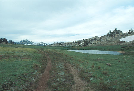
Back on the old mine road/trail near Emigrant Pass/Grizzly Meadow
Emigrant Wilderness - Aug 1993
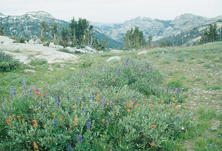
Flower garden near Grizzly Meadow - Emigrant Wilderness - Aug 1993
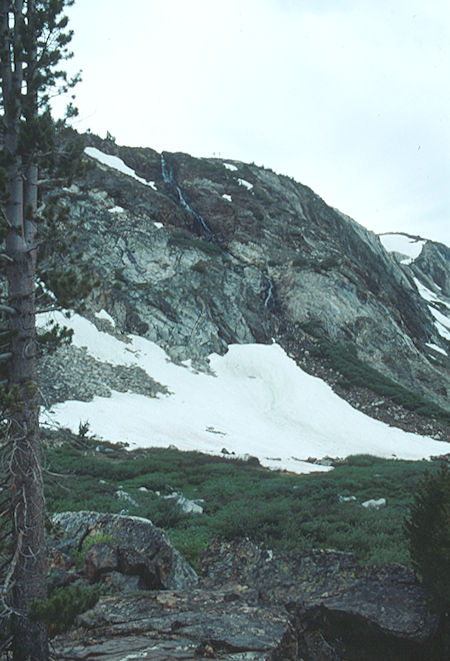
Cascade above Snow Lake - Emigrant Wilderness - Aug 1993
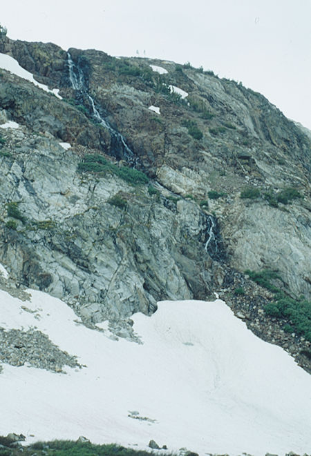
Cascade above Snow Lake - Emigrant Wilderness - Aug 1993
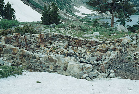
Old mine building foundation at Snow Lake - Emigrant Wilderness - Aug 1993
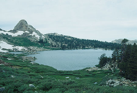
Snow Lake - Emigrant Wilderness - Aug 1993
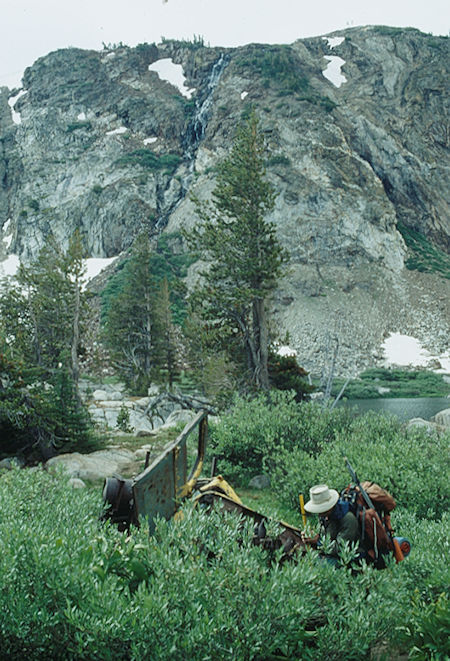
Cascade over Snow Lake and Gil Beilke examining old mine truck
Emigrant Wilderness - Aug 1993
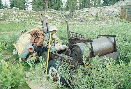
Gil Beilke examining old mine vehicle at Snow Lake - Emigrant Wilderness - Aug 1993
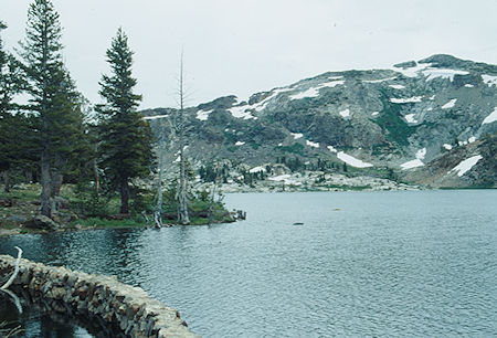
Bigelow Lake - Emigrant Wilderness - Aug 1993
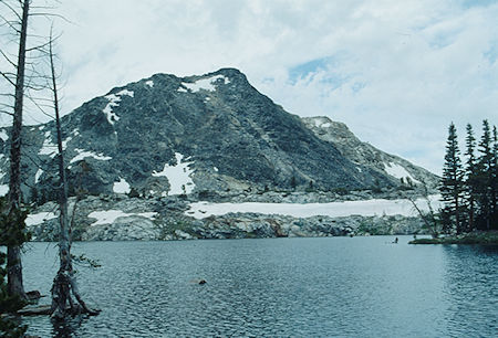
Bigelow Lake, Bigelow Peak - Emigrant Wilderness - Aug 1993
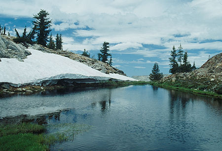
Pond at Bigelow Lake outlet - Emigrant Wilderness - Aug 1993
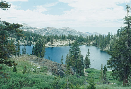
Black Bear Lake - Emigrant Wilderness - Aug 1993
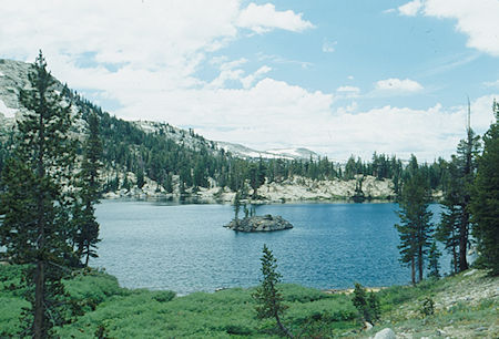
Black Bear Lake - Emigrant Wilderness - Aug 1993
I also visited this area in 1966 and climbed Bigelow Peak.
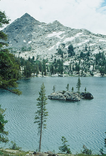
Black Bear Lake, Bigelow Peak - Emigrant Wilderness - Aug 1993
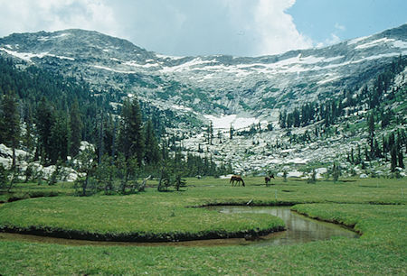
Meadow above Upper Twin Lake - Yosemite National Park - Aug 1993
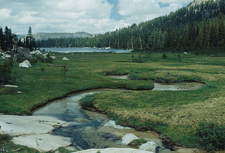
Upper Twin Lake - Yosemite National Park - Aug 1993
Fourth day, layover at Upper Twin Lake. Alternate campsites near the outlet of the Lower Twin Lake.
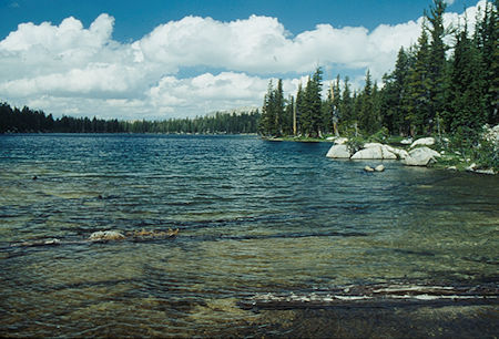
Upper Twin Lake - Yosemite National Park - Aug 1993
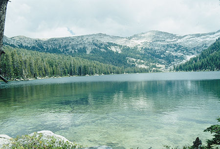
Upper Twin Lake - Yosemite National Park - Aug 1993
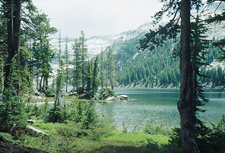
Upper Twin Lake - Yosemite National Park - Aug 1993
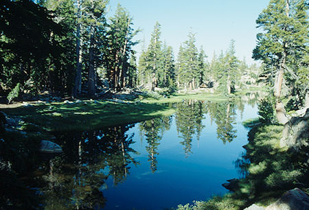
Pond enroute to Lower Twin Lake - Yosemite National Park - Aug 1993
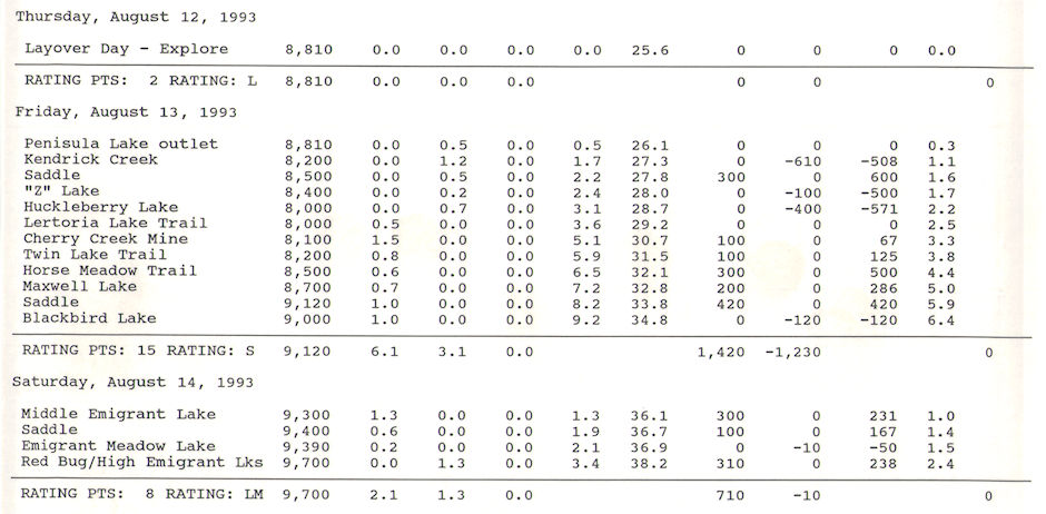
Fifth day, moved cross-country to Peninsula Lake where best campsites are on the west shore. Alternate campsites at the unnamed lake just to the west and at Bear Lake. Upper Peninsula Lake not very good camping per guide book.
NOTE: The start of the trail from Upper Twin Lake to Lower Twin Lake apparently crosses the creek several times and becomes entangled with some good sized ponds in wet years. You can go almost due east from the outlet of Upper Twin Lake staying along the ridge top and then drop down to the lower lake a short ways west of the inlet. Stay above the lake shore to locate the trail going to the outlet of the Lower Lake. Nice open campsites at the lower lake outlet.
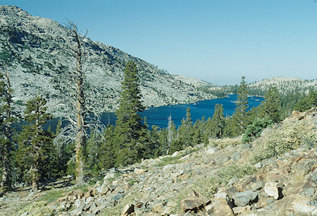
Lower Twin Lake - Yosemite National Park - Aug 1993
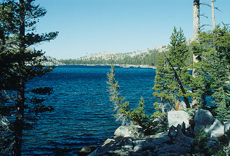
Lower Twin Lake - Yosemite National Park - Aug 1993
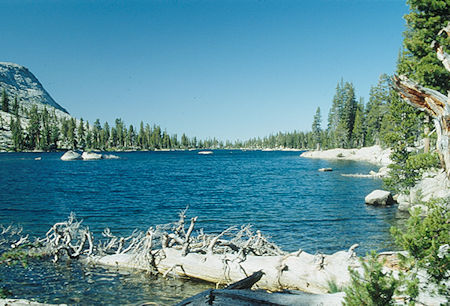
Lower Twin Lake - Yosemite National Park - Aug 1993
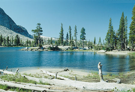
Lower Twin Lake - Yosemite National Park - Aug 1993
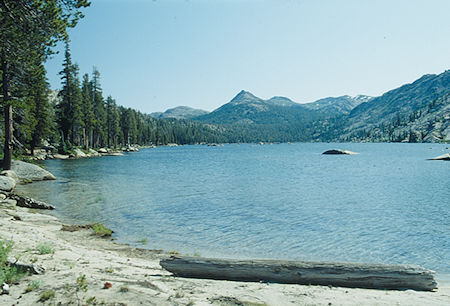
Lower Twin Lake, Bigelow Peak - Yosemite National Park - Aug 1993
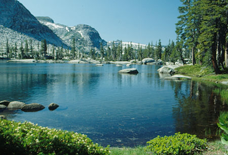
Lower Twin Lake - Yosemite National Park - Aug 1993
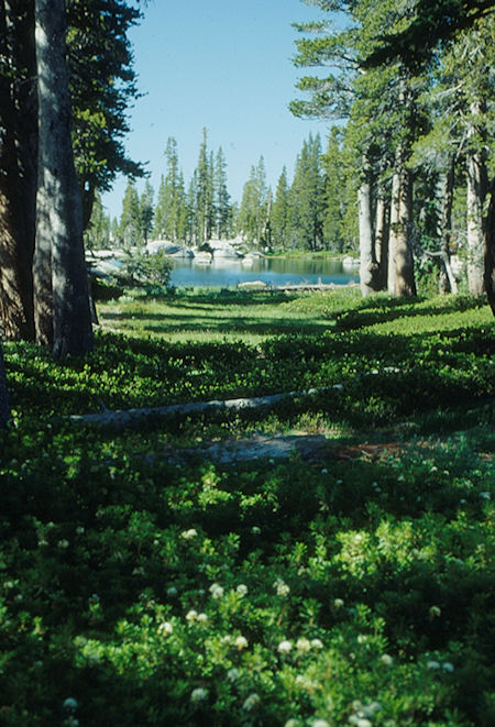
Lower Twin Lake - Yosemite National Park - Aug 1993
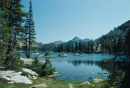
Lower Twin Lake, Bigelow Peak - Yosemite National Park - Aug 1993
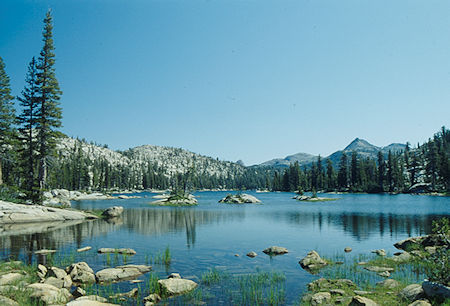
Lower Twin Lake, Bigelow Peak - Yosemite National Park - Aug 1993
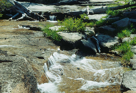
Stream enroute to Peninsula Lake - Yosemite National Park - Aug 1993
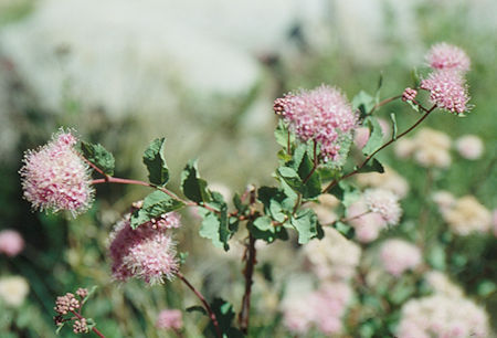
Flower enroute to Peninsula Lake - Yosemite National Park - Aug 1993
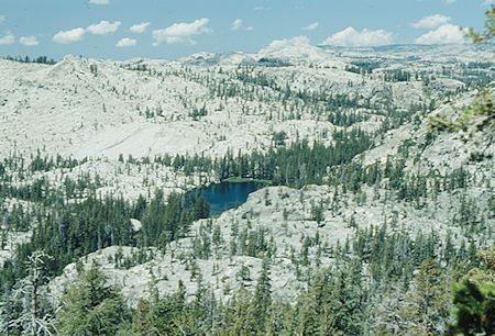
Fawn Lake enroute to Peninsula Lake - Yosemite National Park - Aug 1993
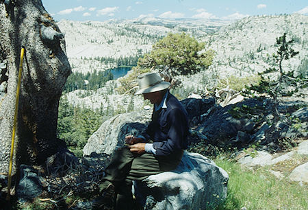
Gil Beilke making notes, Fawn Lake enroute to Peninsula Lake
Yosemite National Park - Aug 1993
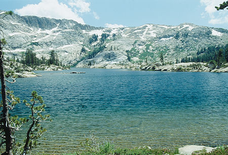
Peninsula Lake - Yosemite National Park - Aug 1993
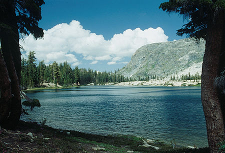
Peninsula Lake - Yosemite National Park - Aug 1993
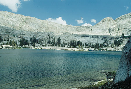
Peninsula Lake - Yosemite National Park - Aug 1993
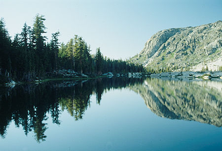
Peninsula Lake looking toward outlet from camp - Yosemite National Park - Aug 1993
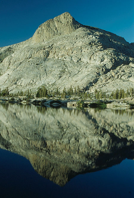
Haystack Peak from camp - Yosemite National Park - Aug 1993
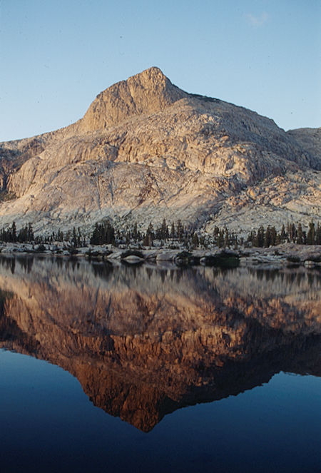
Alpine glow on Haystack Peak from camp - Yosemite National Park - Aug 1993
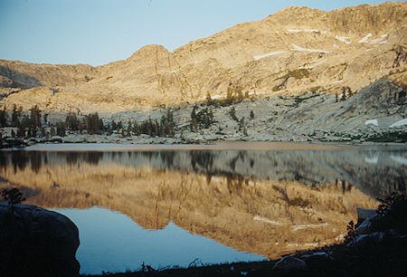
Allpine glow over Peninsula Lake - Yosemite National Park - Aug 1993
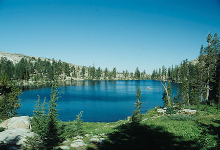
Unnamed lake west of Peninsula Lake - Yosemite National Park - Aug 1993
Sixth day, layover at Peninsula Lake. All sorts of places to explore including climbing Haystack Peak, Schofield Peak, Richardson Peak - all easy with fine views. Gil climbed Haystack Peak, I climbed to saddle northeast of Richardson Peak.
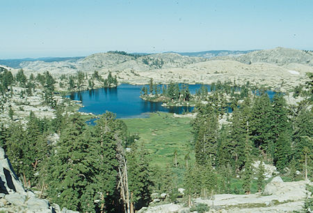
Bear Lake west of Peninsula Lake - Yosemite National Park - Aug 1993
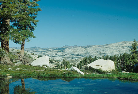
Scenice skyline north of pond near Bear Lake - Yosemite National Park - Aug 1993
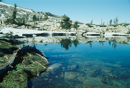
Pond near Bear Lake - Yosemite National Park - Aug 1993
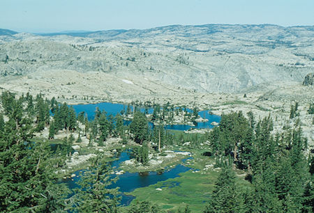
Bear Lake west of Peninsula Lake - Yosemite National Park - Aug 1993
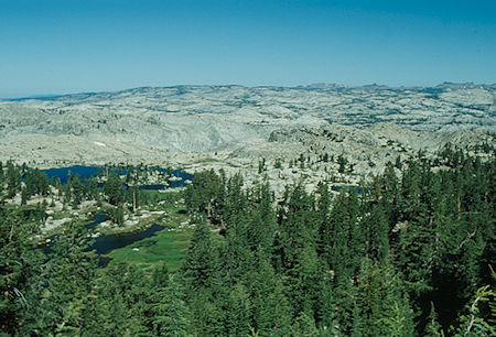
Bear Lake and scenic skyline - Yosemite National Park - Aug 1993
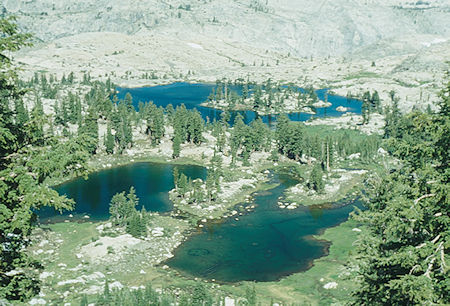
Ponds near Bear Lake - Yosemite National Park - Aug 1993
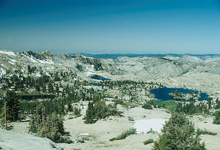
Unnamed lakes and Bear Lake (right) west of Peninsula Lake
Yosemite National Park - Aug 1993
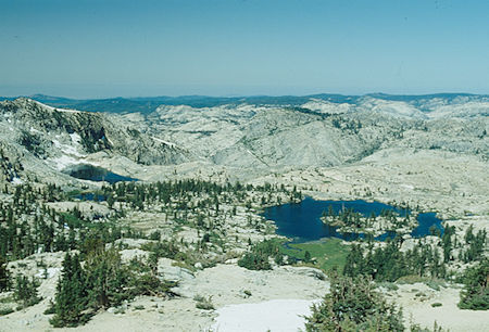
Unnamed lakes and Bear Lake (right) west of Peninsula Lake
Yosemite National Park - Aug 1993
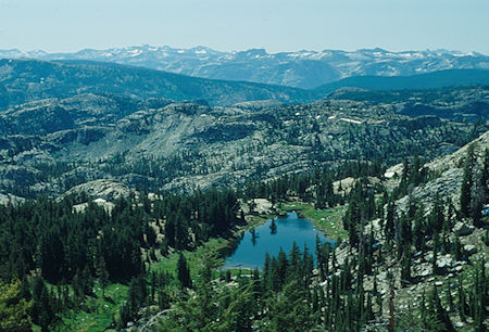
View south over Grand Canyon of the Tuolumne River toward Mount Lyell
from saddle near Richarson Peak - Yosemite National Park - Aug 1993
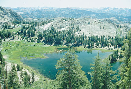
View east south east from saddle east of Richardson Peak
Yosemite National Park - Aug 1993
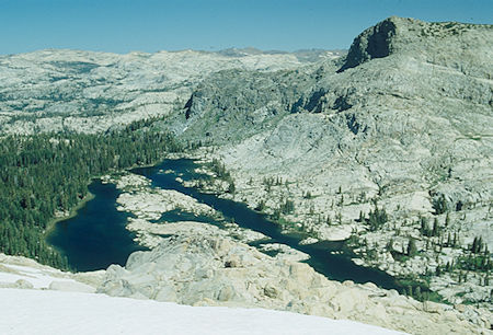
Peninsula Lake, Haystack Peak - Yosemite National Park - Aug 1993
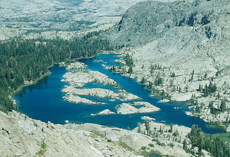
Peninsula Lake - Yosemite National Park - Aug 1993
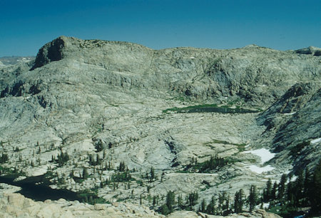
Haystack Peak, Upper Peninsula Lake (right) - Yosemite National Park - Aug 1993
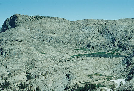
Haystack Peak, Upper Peninsula Lake (right) - Yosemite National Park - Aug 1993
Seventh day, from Peninsula Lake dropped down toward Fawn Lake working to the north side of the creek toward the junction of the Lower Twin Lake outlet creek and the creek coming down from the basin northwest of Michie Peak. Crossed the Lower Twin Lakes outlet creek and climbed to the saddle west of the Lower Twin Lake outlet. Proceeded to the "Z" shaped lake and along it's east shore. Followed a faint use trail out of Yosemite National Park into the Emigrant Wilderness down to Huckleberry Lake's east end.
Followed the trail up the East Fork of Cherry Creek to Horse Meadow with a stop at the Cherry Creek Mine Mill, then turned north to Maxwell Lake (alternate campsite) and on to Blackbird Lake.
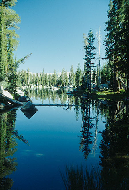
Z" lake enroute to Huckleberry Lake - Yosemite National Park - Aug 1993
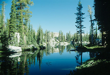
"Z" lake enroute to Huckleberry Lake - Yosemite National Park - Aug 1993
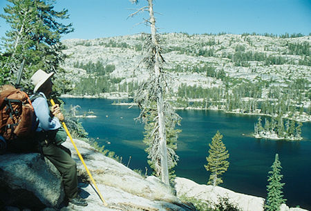
Gil Beilke admiring Huckleberry Lake - Emigrant Wilderness - Aug 1993
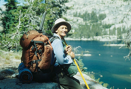
Gil Beilke at Huckleberry Lake - Emigrant Wilderness - Aug 1993
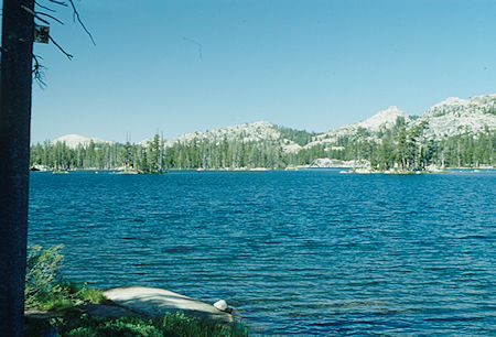
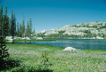
Huckleberry Lake - Emigrant Wilderness - Aug 1993
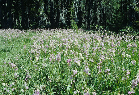
Flower garden at Huckleberry Lake - Emigrant Wilderness - Aug 1993
Flower garden at Huckleberry Lake - Emigrant Wilderness - Aug 1993
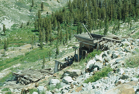
Cherry Creek Mine Mill - Emigrant Wilderness - Aug 1993
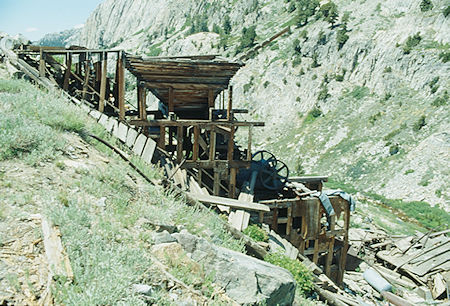
Cherry Creek Mine Mill - Emigrant Wilderness - Aug 1993
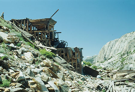
Cherry Creek Mine Mill - Emigrant Wilderness - Aug 1993
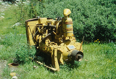
Old engine at Cherry Creek Mine Mill - Emigrant Wilderness - Aug 1993
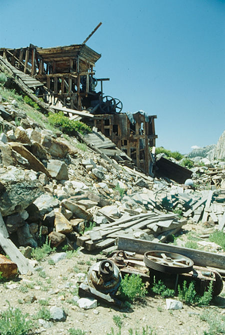
Cherry Creek Mine Mill - Emigrant Wilderness - Aug 1993
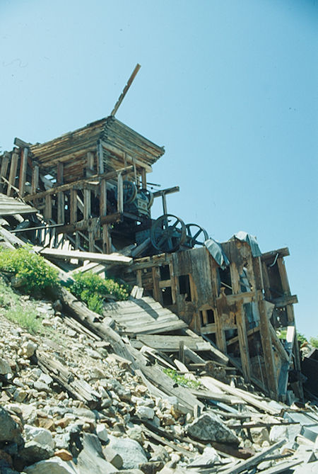
Cherry Creek Mine Mill - Emigrant Wilderness - Aug 1993
The Whittle property (also known as the High Sierra or Cherry Creek mines) consists of 21 lode claims and 2 placer claims located in secs. 27, 33, and 34, T. 4 N., R. 21 E. The claims of the group are: Tamarack, Marlyn, Marie Whittle, Jan Cavanaugh, Francis Finley, Garnet, Ventura, Airola 1 and 2, El Venado, Michael, Tungsten Hill (claims 1 through 4), Gladstone, Mary Whittle, Bussy, Donna, Pleasant View, and Angie Whittle lode claims, and Horse Meadow 1 and 2 placer claims. A small production of tungsten from the Whittle property was reported to the Bureau of Mines in 1955,1956,1962, and 1967.
The claims were located by Harry W. Whittle, Donald R. Whittle, and associates in 1954 and 1955. They are contiguous and are located on both sides of Cherry Creek from Horse Meadow, the headwaters of Cherry Creek, west-southwest to the Cherry Creek mine in sec. 33, T. 4 N., R. 21 E., near Sachse Monument. In September 1967, the property was under lease to the Cherry Creek Mining Company of San Francisco and was being developed for production under the supervision of the late Mr. John Loring.
The property is reached by a restricted-access road branching from State Highway 108 at Leavitt Creek about 3.2 miles east of Sonora Pass. This narrow road has several steep grades and many switchbacks and crosses the summit at an elevation of 9,700 feet; for these reasons it can be negotiated only by vehicles with a short wheel base and four-wheel drive. The road follows the Mono-Tuolumne County boundary in a southerly direction to Emigrant Meadow and past Grizzly Peak to Summit Meadow, the headwaters of Cherry Creek.
In Summit Meadow the road forks; the left fork leads to the Montezuma mine near Snow Lake, a distance of about 1 mile, and the right fork leads in a southwesterly direction along the East Fork of Cherry Creek for about 3.7 miles to the Cherry Creek mine where the road ends.
Mineral occurrences at the Whittle property are generally typical of all of the tungsten deposits in the Bigelow Peak roof pendant. Discontinuous lenses and beds of limestone have been metamorphosed to marble and to garnet-epidote tactite at or near the contacts of the roof pendant and the granitic rocks. The pendant rocks are tightly folded, and the limy beds have locally been squeezed, distended, and separated into pocllike masses of unpredictable shape.
At the Cherry Creek mine, an opencut 60 feet above the adit exposes a pod of disseminated tungsten ore in tactite that is about 20 feet wide by 20 feet long at the surface and may extend to a depth of 40 or 50 feet. Scheelite crystals as much as 1 1/2 inches long and 1 inch across are not uncommon in the ore.
The quartzite, hornfels, and marble beds associated with the tactite lens appear to dip steeply and regularly to the east, but the tactite layer was not found in the adit below the ore outcrops.
Other scheelite occurrences in the Sachse Monument area are directly related to the abundance of silicated limestone (tactite) in the roof pendant host rocks. These sparsely mineralized tactite bodies commonly crop out as narrow, steeply dipping, iron-stained pods and lenses that are interlayered with much thicker beds and lenses of massive white to buff quartzite, white marble, and black to rusty brown hornfels.
Their lenselike character and their common occurrence as saddle-shaped pods at the apices of minor folds makes it virtually impossible to predict their continuity either in depth or along the strike in covered areas.
At the Whittle property the extension of the ore shoots to depth has not been determined. The downward extension could be limited for one or more of the following reasons: (1) squeezing out of the limestone bed during the intense folding that preceded metamorphism, (2) a decrease in tungsten content with depth (the grade of tungsten ore shoots is commonly erratic), and (3) termination in depth of the tactite lenses at the contact of the underlying granitic mass.
The Jan Cavanaugh, Francis Finley, Garnet, and Tamarack claims on the western end of the Whittle property contain isolated tactite bodies that appear to be tapered masses that project downward into the granitic rocks. The four claims have been prospected more thoroughly than the rest of the claims in the group. The open cuts where samples were taken are shown in figure 12.
The four claims were checked at night with an ultraviolet lamp; concentrations of the fluorescent scheelite were marked by flags and, where justified, samples were taken later during the daylight hours. The flags were placed in a manner that made it easy to map and sample the entire surface exposure. All samples were cut from zones showing scheelite, but some scheelite zones were not sampled when evidence indicated that only a small pod or thin fracture coatings were present.
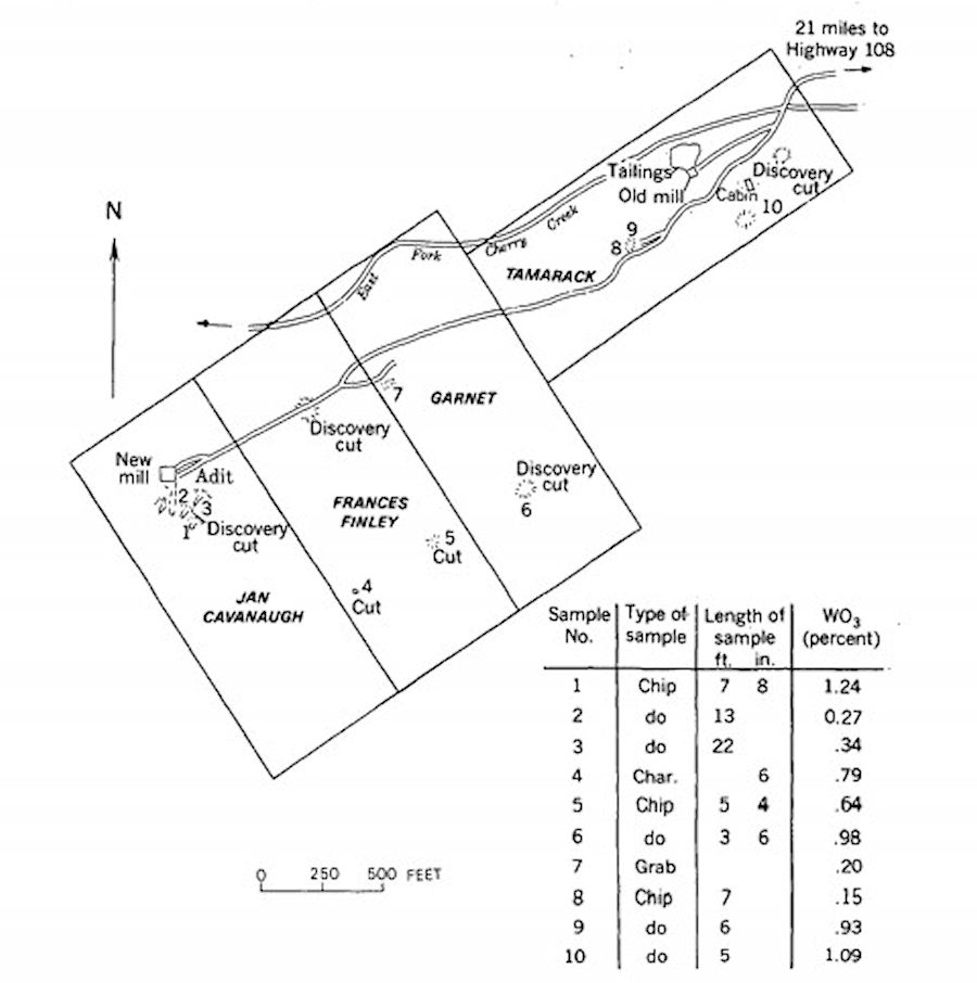
FIGURE 12. Claims, surface development, and sample locations in the western part of the Whittle property
This claim consists of four open cuts and an adit 110 feet long. The adit was driven 60 feet below the discovery cut in granitic rock that contains local concentrations of quartz and epidote. Chip samples were taken from three open cuts in scheelite-bearing tactite zones (fig. 12).
The assay results were 1.24, 0.27, and 0.34 percent W03. A small tonnage of selected ore was produced, chiefly from the discovery cut on the claim, and was shipped to the Union Carbide Corp. plant near Bishop, Calif.
The tactite zones exposed on the claim may constitute a potential for future production of tungsten ore. It is estimated from sampling and the exposures in the pits and on the surface that possibly several thousand tons of tungsten ore of a grade approximating 0.6 percent W03 are present.
A mill with a planned capacity of 100 tons of scheelite ore per day was built on the claim in 1967 (fig. 13). The mill equipment includes a 12- by 20-inch primary jaw crusher, an 8- by 24-inch secondary jaw crusher, a set of 4-inch crushing rolls, screens, and two wet gravity concentrating tables. Electric power for the mill is furnished by two 30-kilowatt generators powered by diesel engines. From all appearances, only a small tonnage of ore has been milled.
Most of the ore produced from the Whittle property probably came from the Jan Cavanaugh claim; however, the exact quantity of ore produced is not known.
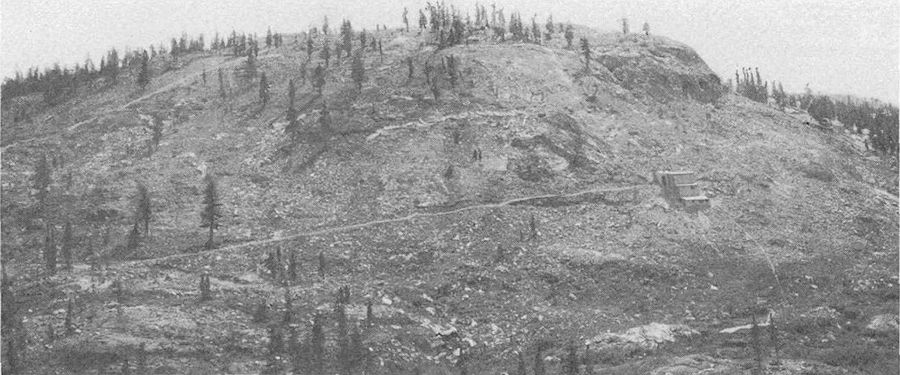
FIGURE 13. Western part of the Whittle property. Gravity concentrating mill is to the right in the photograph
Development work on this claim consists of three open cuts. During preliminary examination with an ultraviolet lamp, two scheelitebearing tactite zones were observed and sampled. A character sample containing 0.79 percent WO3 was taken from one zone. A chip sample was taken across the widest part of the second zone. This zone consists of a tactite-scheelite lens ranging from less than 1 inch to more than 5 feet in width and having a strike length of 80 feet. The sample assayed 0.64 percent WO3. About 1,000 tons of tungsten ore assaying 0.6 to 0.8 percent WO3 is estimated to be present, but no ore has been produced.
GARNET CLAIM
Development work on the Garnet claim consists of two open cuts. The discovery cut exposes a scheelite-bearing tactite zone approximately 4 feet wide, 30 feet long, and at least 50 feet thick. A sample from one cut assayed 0.98 percent WO3. A grab sample from three places in a bulldozer cut averaged 0.20 percent WO3. A small tactite zone, 3 by 6 feet in surface area, in the southeast section of the claim (not shown on fig. 12) contains stringers of scheelite. Only a few hundred tons of ore-are inferred, and no ore has been produced.
TAMARACK CLAIM
The Tamarack claim lies on a relatively flat topographic bench about 20 feet above Cherry Creek, which generally follows the north line of the claim. A sample from a small pod of scheelite-bearing tactite assayed 0.15 percent WO3. A sample from a northerly striking tactite zone 2 inches or less in width and 40 feet in length assayed 0.93 percent W03. A 5-foot chip sample taken across an open pit assayed 1.09 percent W03. The extension of these small lenses to depth is unknown.
At several locations on the claim a thin veneer of scheelite also occurs on fracture faces, but such showings did not warrant sampling. On the basis of the small size and discontinuity of the tactite zone and the sampling, the Tamarack claim has no apparent potential for development. Other small tactite zones are exposed near the Tamarack claim and are estimated to have a potential of several hundred tons of ore. Additional exploratory work would be required to evaluate their importance.
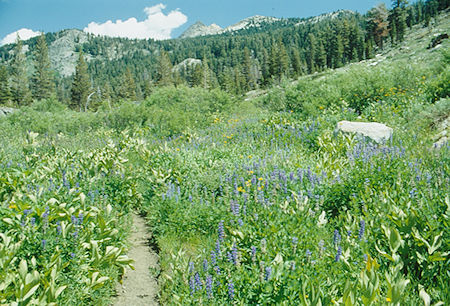
Flowers along trail on the way east from the mine - Emigrant Wilderness - Aug 1993
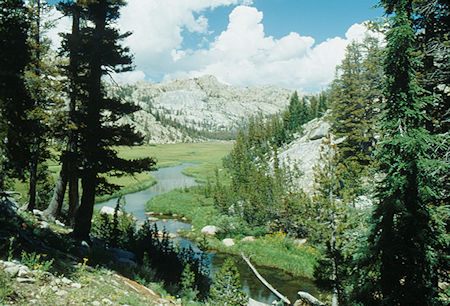
Horse Meadow, East Fork Cherry Creek - Emigrant Wilderness - Aug 1993
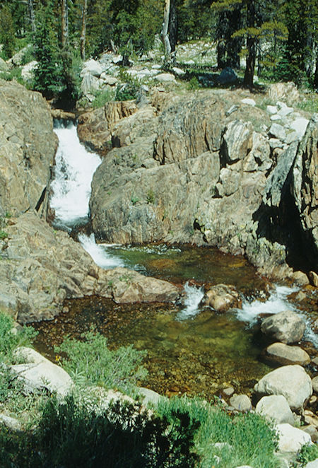
Cascade on East Fork Cherry Creek - Emigrant Wilderness - Aug 1993
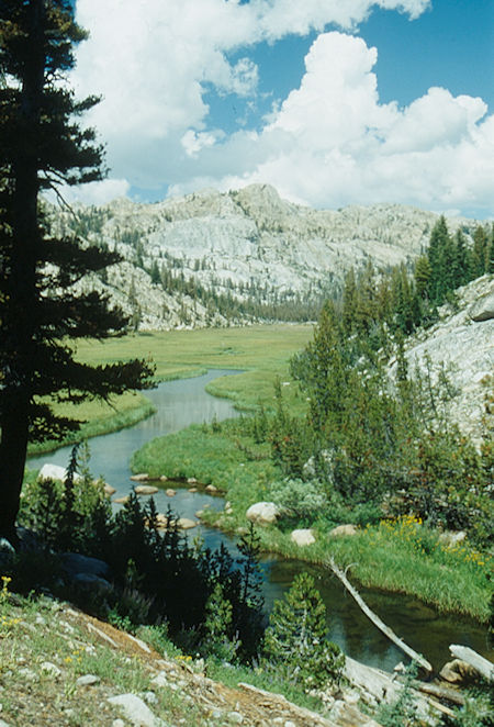
Horse Meadow, East Fork Cherry Creek - Emigrant Wilderness - Aug 1993
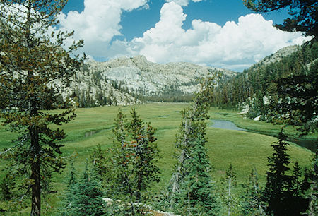
Horse Meadow, East Fork Cherry Creek - Emigrant Wilderness - Aug 1993
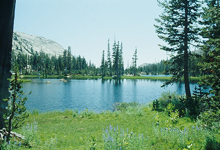
Maxwell Lakes - Emigrant Wilderness - Aug 1993
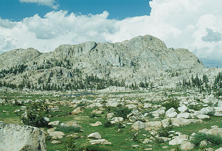
Blackbird Lake - Emigrant Wilderness - Aug 1993
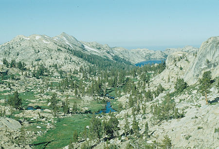
Looking down North Fork Cherry Creek at Emigrant Lake - Emigrant Wilderness - Aug 1993
Eighth day, followed up the North Fork of Cherry Creek past Middle Emigrant Lake, Emigrant Meadow Lake and cross country up easy slopes to Red Bug Lake. Limited shelter here.
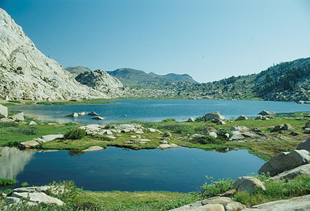
Middle Emigrant Lake - Emigrant Wilderness - Aug 1993
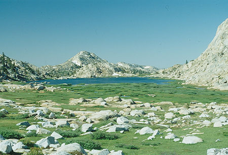
Looking back at Middle Emigrant Lake, Sachse Monument - Emigrant Wilderness - Aug 1993

Middle Emigrant Lake looking north at Molo Mountain (second from right), Lost Lake Valley behind ridge in center, Big Sam and route to High Emigrant Lake
Emigrant Wilderness - Aug 1993
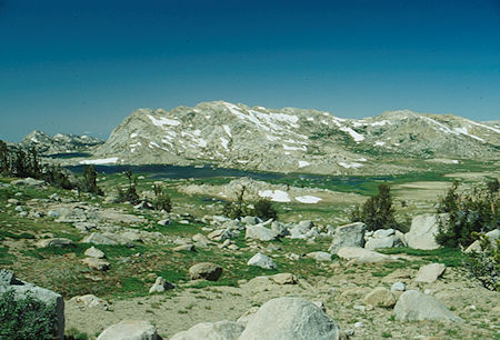
Middle Emigrant Lake (in back), Emigrant Meadow Lake
Emigrant Wilderness - Aug 1993
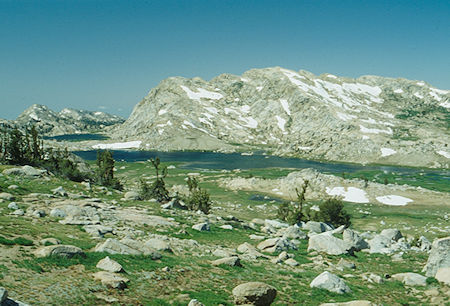
Middle Emigrant Lake (in back), Emigrant Meadow Lake
Emigrant Wilderness - Aug 1993
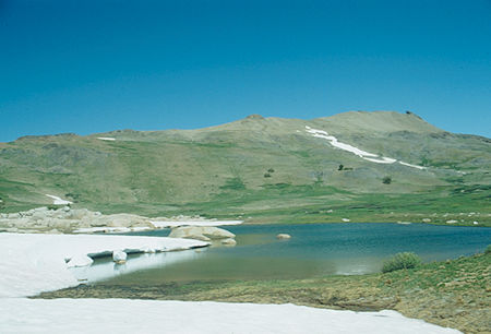
Red Bug Lake - Emigrant Wilderness - Aug 1993
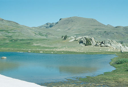
Red Bug Lake, Big Sam - Emigrant Wilderness - Aug 1996

Big Sam, High Emigrant Lake, old mining road coming from Emigrant Pass - Emigrant Wilderness - Aug 1993
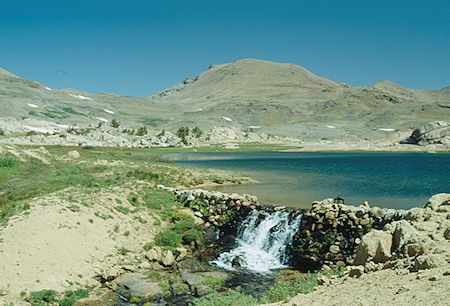
High Emigrant Lake, Big Sam - Emigrant Wilderness - Aug 1993
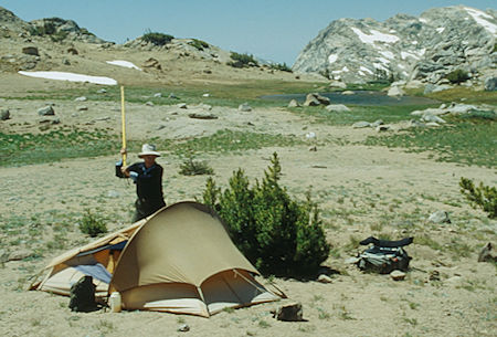
"Wild" Gil Beilke at Red Bug Lake camp - Emigrant Wilderness - Aug 1993
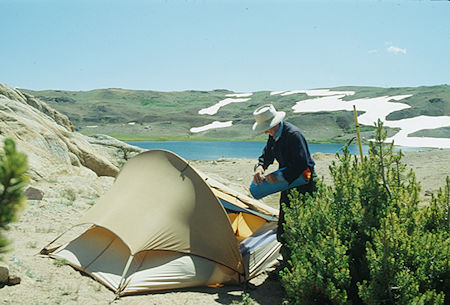
Gil Beilke at Red Bug Lake camp overlooking High Emigrant Lake
Emigrant Wilderness - Aug 1993
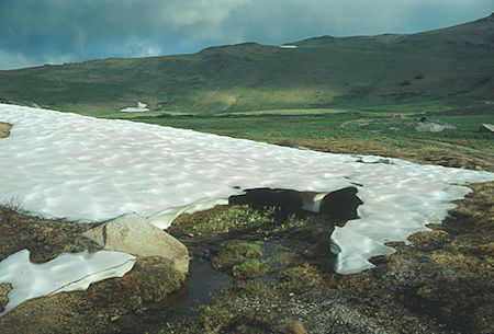
On our way to Big Sam - Emigrant Wilderness - Aug 1993
Ninth day, continued on the old mining road to the top of Big Sam with fine views. Dropped down the other side to the saddle where we turned east to Kennedy Canyon on the way in. Nearby "hanging valley" at head of Kennedy Creek on the west is an alternate campsite. We continued on the old mining road to Leavitt Lake and the car.
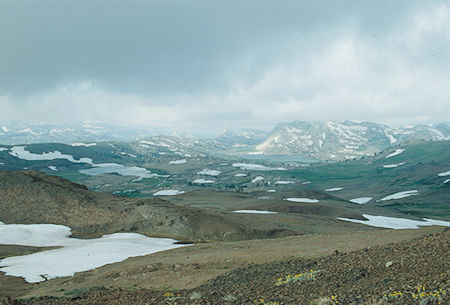
High Emigrant Lake, Middle Emigrant Lake, Emigrant Meadow Lake
from slopes of Big Sam - Emigrant Wilderness - Aug 1993
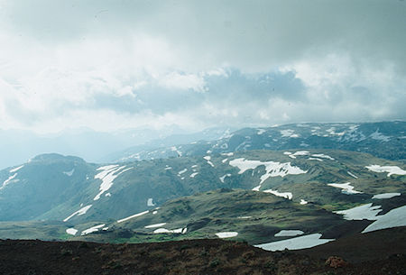
View north from top of BIg Sam - Emigrant Wilderness - Aug 1993
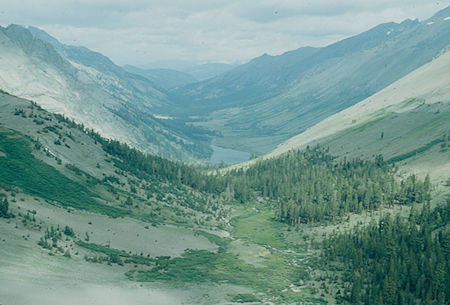
Looking down Kennedy Lake Creek from Big Sam Road - Emigrant Wilderness - Aug 1993
Lots of history in this area. I have been to a few of the places but it was in the early sixties (that's nineteen sixties <grin>). Most of the campsites should be fairly isolated from the heavy use areas. We needed to guard against bears.
