This was my first Sierra Nevada trek. While I was in the Navy I took a month's leave and did this two week 57 mile backpack trip June 28-July 11, 1957 in Yosemite National Park first. I spent several days in Yosemite Valley riding around on a bicycle, floating on the Merced River and a day hike to the top of Yosemite Falls. This was followed by two weeks in Sequoia-Kings Canyon National Park.
I rode the Greyhound bus from San Diego to Visalia where I transferred to the Yosemite Park & Curry Co. bus which took me to the Mariposa Grove of Giant Sequoias near the South Entrance to Yosemite National Park.
Located in the southern portion of Yosemite, the Mariposa Grove of Giant Sequoias is the largest sequoia grove in Yosemite and is home to over 500 mature giant sequoias.
The national park idea is rooted in the Mariposa Grove. In 1864 President Lincoln signed legislation protecting the Mariposa Grove and Yosemite Valley for "public use, resort, and recreation."
This landmark legislation holds an important place in our country's history and was enacted at a time when the nation was embroiled in the Civil War. For the first time in our nation's history, the federal government set aside scenic natural areas to be protected for the benefit of future generations. Later added to Yosemite National Park in 1906, the Mariposa Grove is a popular destination within the park.
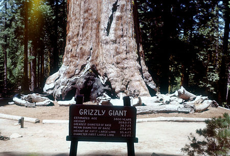
Grizzly Giant tree base - Mariposa Grove - Yosemite National Park - Jul 1957
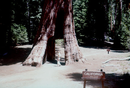
California Tree - Mariposa Grove - Yosemite National Park - Jul 1957
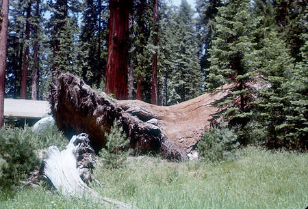
'Elephant Foot' - Mariposa Grove - Yosemite National Park - Jul 1957
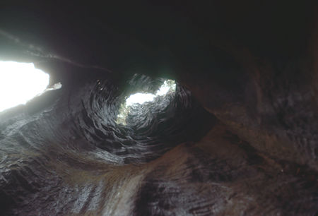
Looking up 'telescope tree' - Mariposa Grove - Yosemite National Park - Jul 1957
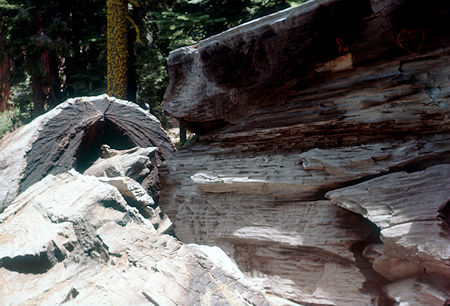
Massachusetts Tree - Mariposa Grove - Yosemite National Park - Jul 1957
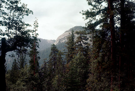
Wawona Dome from Mariposa-Wawona Trail - Yosemite National Park - Jul 1957
After touring the Mariposa Grove I backpacked down a mostly paved trail - from Civilian Conservation Corps days - to the campground at Wawona.
The next day I backpacked up the road through Wawona Village and picked up the trail past Chilnualna Falls. I made camp along a creek before arriving at Bridalveil Campground which I passed through the next day.
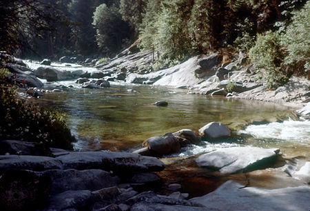
South Fork Merced River at Wawona campground - Yosemite National Park - Jul 1957
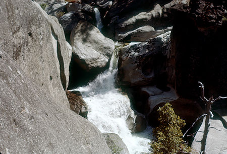
Chilnualna Creek just below Wawona Dome - Yosemite National Park - Jul 1957
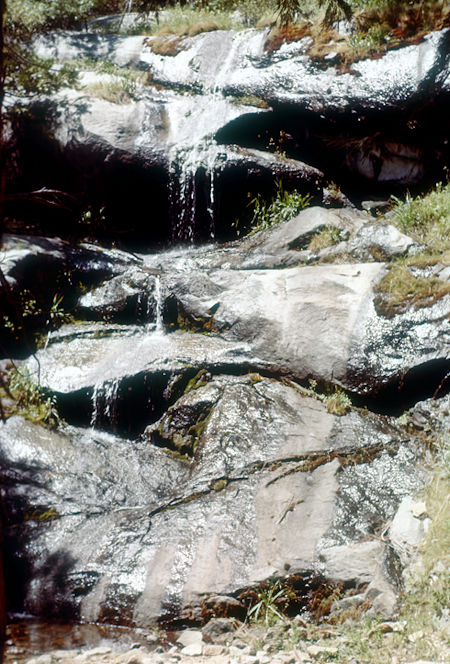
On the trail to Chilnualna Falls - Yosemite National Park - Jul 1957
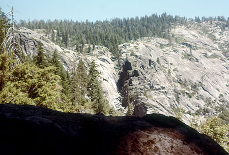
Chilnualna Falls from the trail - Yosemite National Park - Jul 1957
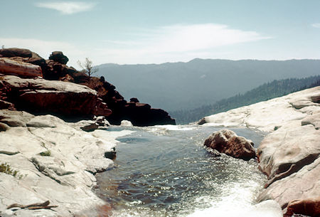
View over top of Chilnualna Falls - Yosemite National Park - Jul 1957
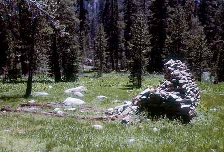
Remains of log cabin and fireplace at Turner Meadow - Yosemite National Park - Jul 1957
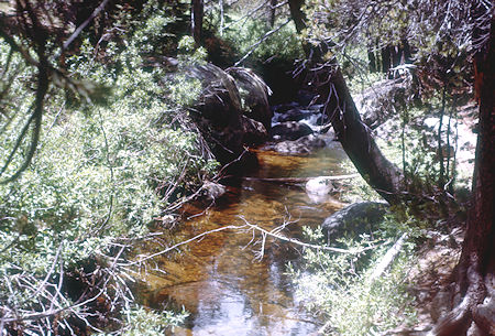
Bridalveil Creek near Ostrander Lake trail junction - Yosemite National Park - Jul 1957
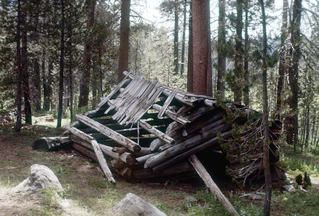
Homesteader's cabin, Peregoy Meadow - Yosemite National Park - Jul 1957
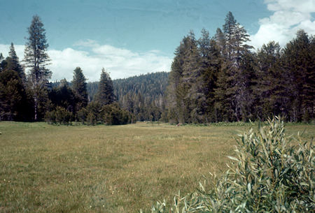
Peregoy Meadow - Yosemite National Park - Jul 1957
I picked up the Pohono Trail and made my next camp at the bridge crossing Bridalveil Creek. The trail soon brought me to Taft Point where I got my first views of Yosemite Valley - much as the first white men did. It was awe inspiring and I spent much time photographing the valley before continuing to Glacier Point. The views include El Capitan, Yosemite Falls, Half Dome and, of course, the deep valley itself.
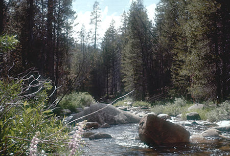
Bridalveil Creek at Pohono Trail - Yosemite National Park - Jul 1957
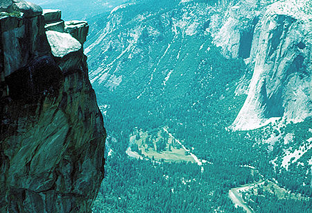
Yosemite Valley from Taft Point - Yosemite National Park Jul 1957
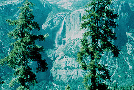
Yosemite Falls from below Sentinel Dome - Yosemite National Park Jul 1957
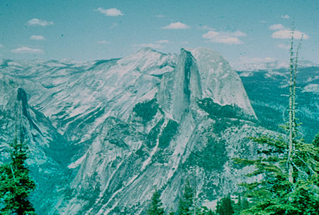
Tenaya Canyon, Half Dome from Pohona Trail near Glacier Point
Yosemite National Park Jul 1957
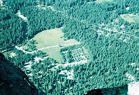
Camp Curry from Glacier Point - Yosemite National Park Jul 1957
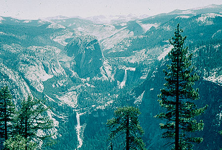
Liberty Cap, Vernal and Nevada Falls - Yosemite National Park Jul 1957
I camped at Glacier Point - after seeing my first bears on the trail and in the campground. More views of Half Dome, Tenaya Canyon, Nevada and Vernal Falls. That night I enjoyed the "Firefall".
The next day's trail took me past Illilouette Falls, Panorama Cliff, Nevada and Vernal Falls into the valley at Happy Isles - which at this time was still operated as a fish hatchery. I found a campsite without much trouble and headed for the showers at Camp Curry. I also indulged in some fresh cooked food.
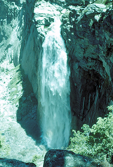
Illilouette Falls - Yosemite National Park Jul 1957
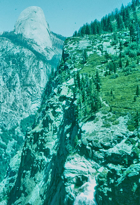
Half Dome and trail along Panorama Cliffs - Yosemite National Park Jul 1957
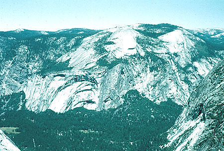
Royal Arches, Basket Dome, North Dome from Panorama Point
Yosemite National Park Jul 1957
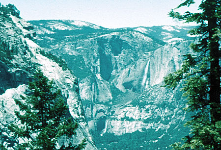
Glacier Point (left), Upper and Lower Yosemite Falls from Panorama Cliffs
Yosemite National Park Jul 1957
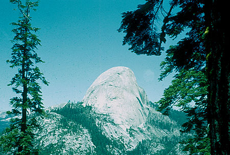
Half Dome from Panorama Cliffs - Yosemite National Park Jul 1957
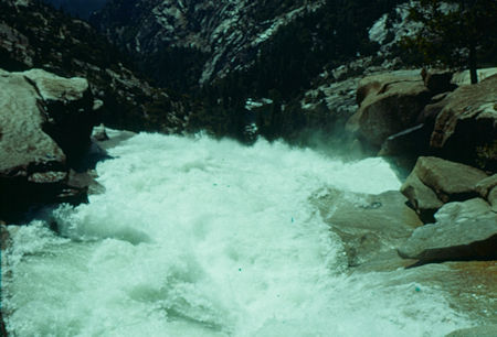
Looking over top of Nevada Fall - Yosemite National Park - Jul 1957
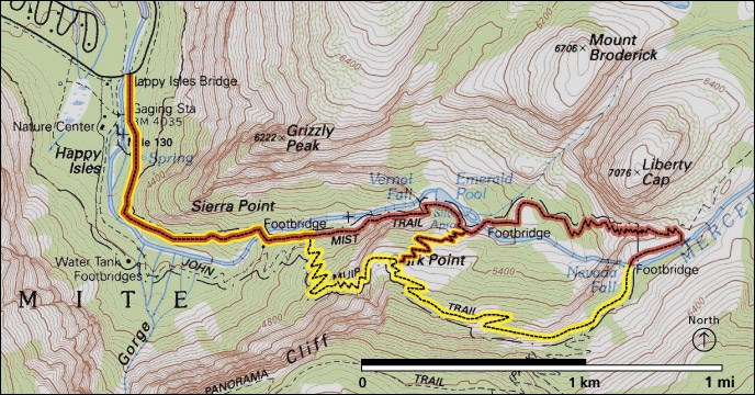
NPS Map of Vernal Falls and Nevada Falls trails
Nevada Falls is a 594-foot high waterfall on the Merced River. Like Vernal Valls, its downstream neighbor, Nevada Falls is clearly visible at a distance, from Glacier Point, as well as close up, along the Mist Trail.
It is located below the granite dome, Liberty Cap, at the west end of Little Yosemite Valley.
From the top of Nevada Falls you can hike to Yosemite Valley via either the Mist Trail or the John Muir Trail or a combination of both .. see the map.
Continuing along the Mist Trail, you’ll experience 1.5 miles of steep, rocky switchbacks as you descend to Vernal Falls. The alternative John Muir Trail is much gentler but longer.
Crashing down 594 feet, the thunderous Nevada Falls is fullest in spring and early summer, and you will find terrific photographic opportunities along this stretch of trail.
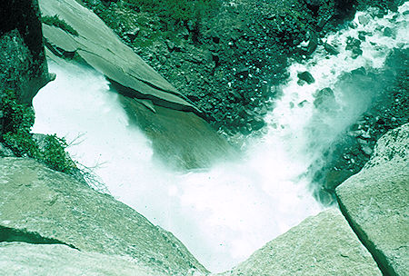
Over the brink of Nevada Falls - Yosemite National Park Jul 1957
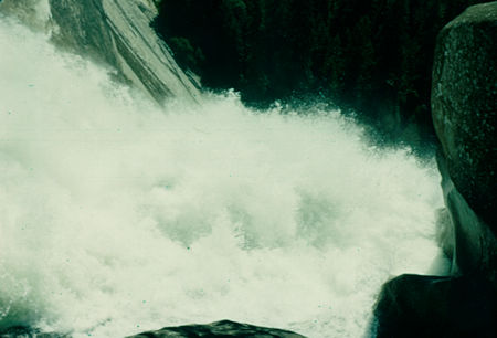
Over the brink of Nevada Fall - Yosemite National Park - Jul 1957
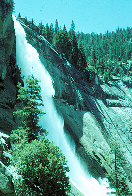
Nevada Falls from Mist Trail - Yosemite National Park Jul 1957
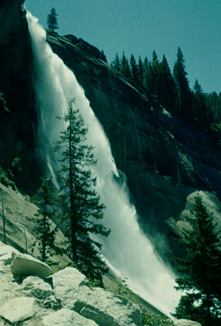
Nevada Fall from Mist Trail - Yosemite National Park - Jul 1957
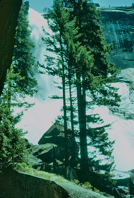
Nevada Falls from Mist Trail - Yosemite National Park Jul 1957
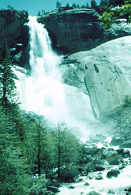
At the bottom of Nevada Falls - Yosemite National Park Jul 1957
Click For More Nevada Falls
Vernal Falls is a 317-foot waterfall on the Merced River just downstream of Nevada Falls in Yosemite National Park.
Like its upstream neighbor, Nevada Falls, Vernal Falls is clearly visible at a distance, from Glacier Point, as well as close up, along the Mist Trail. The waterfall flows all year long, although by the end of summer it is substantially reduced in volume and can split into multiple strands, rather than a single curtain of water.
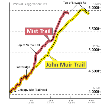
NPS Vernal Fall/Nevada Fall trail profile
At the top of Vernal Falls, you can experience jaw-dropping views straight down the length of the 317-foot waterfall (please don't cross the railings and use extreme caution while you're near any flowing water or wet rock in this area).
Once atop Vernal Falls there is a pool of water called the Emerald Pool around which hikers lounge and rest. There is also a 20 degree slope of rock with water flowing into the pool called the Silver Apron.
To proceed directly from the top of Vernal Falls, follow the Mist Trail down a steep granite stairway of over 600 steps.
Prepare for slippery footing and a tremendous amount of waterfall spray in spring and early summer (hence the name for this trail!).
You will delight in views of Vernal Falls all along this stretch of trail and may even be able to see a rainbow in the spray of the fall.
Upon reaching the footbridge, you will find an excellent view of Vernal Falls.
From the base of Vernal Falls the Mist Trail is mostly shaded and the slope becomes more gentle.
From the Vernal Falls Footbridge the trail is paved for the final mile to the trailhead at Happy Isles.
You can appreciate views along the way, and during spring, when the water levels are at their peak, you can also glimpse Illillouette Fall from this section of trail.
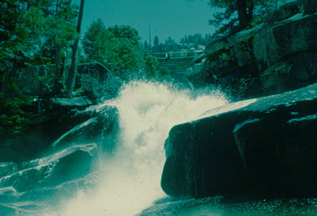
Above Silver Apron at Vernal Fall - Yosemite National Park - Jul 195
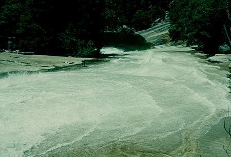
Silever Apron and Emerald Pool at Vernal Fall - Yosemite National Park - Jul 1957
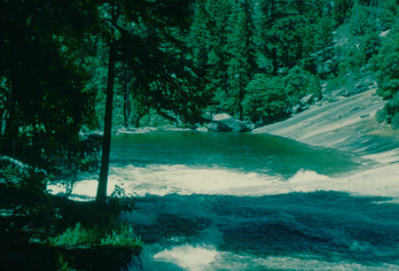
Emerald Pool and Silver Apron at Vernal Fall - Yosemite National Park - Jul 1957
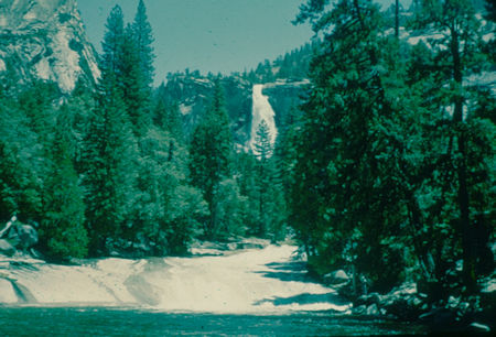
Nevada Fall, Silver Apron, Emerald Pool from above Vernal Fall
Yosemite National Park - Jul 1957
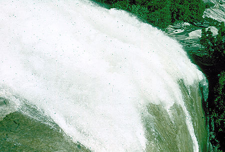
Top of Vernal Falls - Yosemite National Park Jul 1957
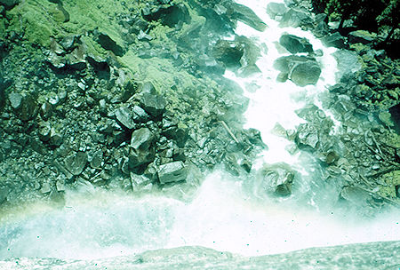
Looking straight down face of Vernal Falls at rainbow - Yosemite National Park Jul 1957
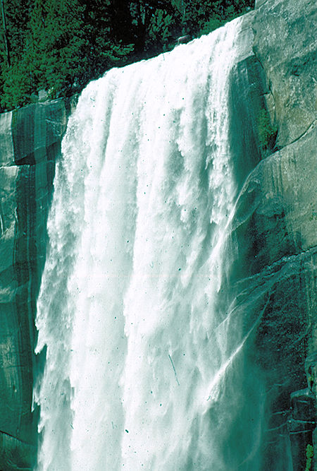
Vernal Valls - Yosemite National Park Jul 1957
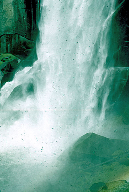
Bottom of Vernal Valls - Yosemite National Park Jul 1957
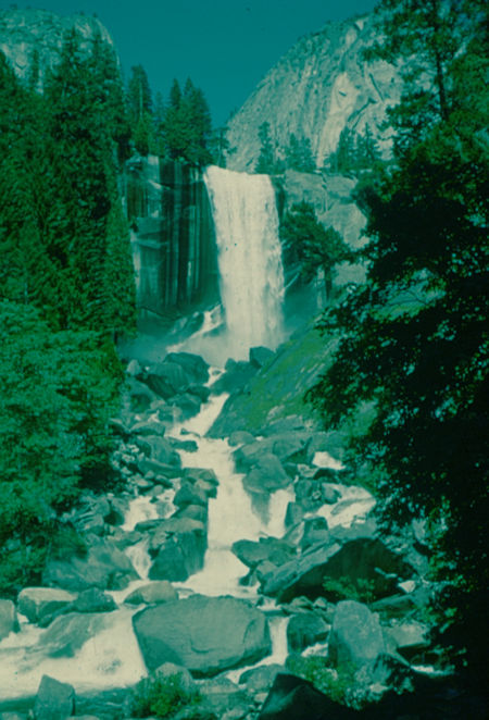
Vernal Fall from bottom of Mist Trail - Yosemite National Park - Jul 1957
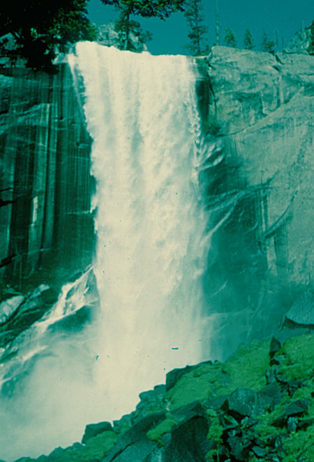
Vernal Fall from Mist Trail - Yosemite National Park - Jul 1957
Click Here For More Vernal Falls
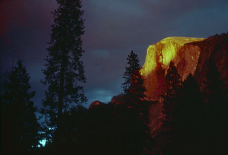
Storm clouds over sunset on Half Dome from Yosemite Valley
Yosemite National Park - Jul 1957
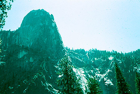
Sentinel Rocks and falls - Yosemite National Park Jul 1957
The next several days were spent riding rented bicycles all around the valley to the various points of interest including the Wawona Tunnel, Yosemite Village, Old Village, Bridalveil Falls, etc. I saw the "Firefall" and enjoyed many evening programs on the Camp Curry Stage.
I had originally planned to spend only a short time in the valley and then backpack up Tenaya Canyon to the north rim and along it to Yosemite Falls - however, I soon abandoned that idea and spent some time floating down the Merced River on my air mattress when not out sightseeing.
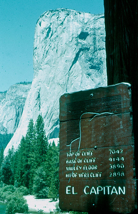
El Capitan - Yosemite National Park Jul 1957
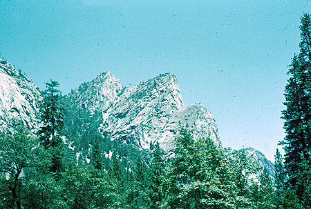
Three Brothers - Yosemite National Park Jul 1957
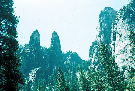
Cathedral Sphires - Yosemite National Park Jul 1957
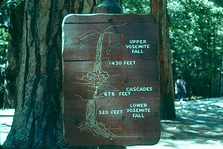
Yosemite Falls sign - Yosemite National Park Jul 1957
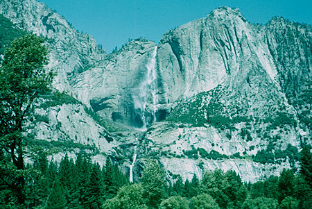
Yosemite Falls from road near Old Village - Yosemite National Park Jul 1957
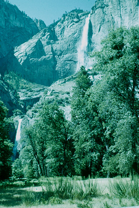
Yosemite Falls - Yosemite National Park Jul 1957
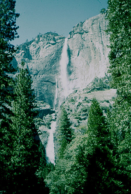
Yosemite Falls - Yosemite National Park Jul 1957
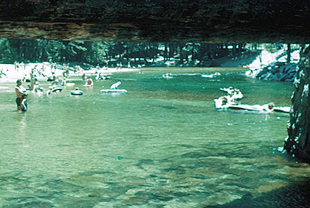
Swimming in Merced River - Yosemite National Park Jul 1957
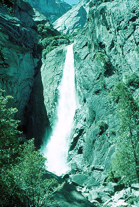
Lower Yosemite Falls - Yosemite National Park Jul 1957
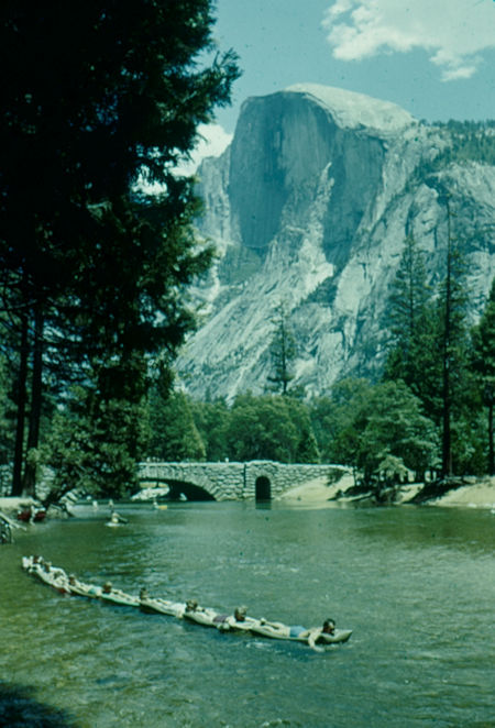
Half Dome, tourists floating in Merced River in Yosemite Valley
Yosemite National Park - Jul 1957
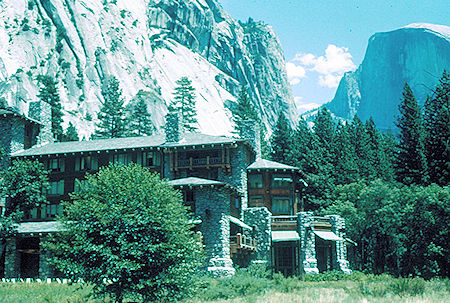
Awahnee Hotel and Half Dome - Yosemite National Park Jul 1957
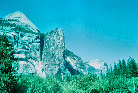
Washington Column - Yosemite National Park Jul 1957
One afternoon I hiked up the Yosemite Falls trail and after a cold supper watched the "Firefall" from the top of the falls before a night hike back to camp in the valley.
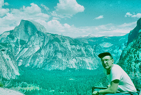
Half Dome and me from Columbia Rock on trail to top of Yosemite Falls
Yosemite National Park Jul 1957
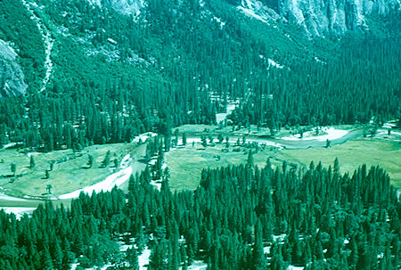
View from Columbia Rock on Yosemite Falls trail - Yosemite National Park Jul 1957
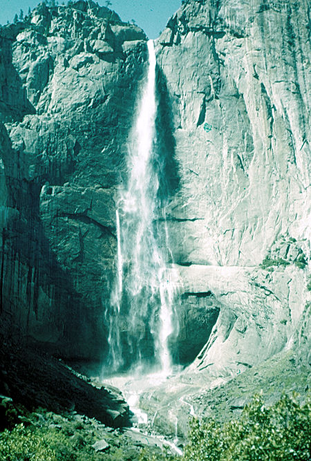
Upper Yosemite Falls - Yosemite National Park Jul 1957
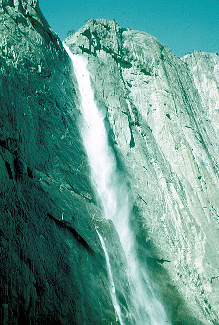
Top of Upper Yosemite Falls - Yosemite National Park Jul 1957
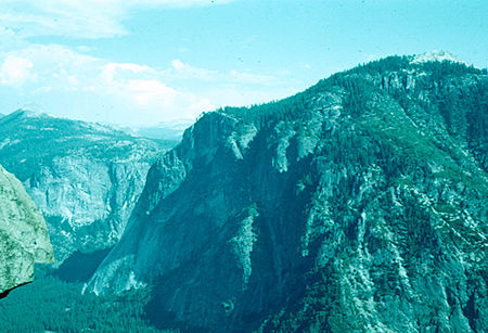
Glacier Point and Sentinel Dome from top of Yosemite Falls
Yosemite National Park Jul 1957
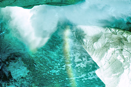
Looking down from top of Yosemite Falls - Yosemite National Park Jul 1957
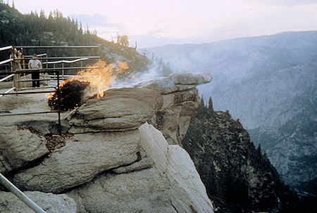
The fire burning with Hanging Rock in the background - Yosemite National Park Jul 1957
When I visited in 1957 the "Firefall" from Glacier Point was part of the evening entertainment at Camp Curry. It was performed at 9 p.m. seven nights a week as the final act. It has since been discontinued as not being suitable for the National Park. I purchased the following pictures. I watched it several nights from Camp Curry in the Valley and one night from the top of Yosemite Falls.
The Yosemite Firefall was a summer time event that began in 1872 and continued for almost a century, in which burning hot embers were spilled from the top of Glacier Point in Yosemite National Park to the valley 3,000 feet below. From a distance it appeared as a glowing waterfall. The owners of the Glacier Point Hotel conducted the firefall. History has it that David Curry, founder of Camp Curry, would stand at the base of the fall, and yell "Let the fire fall," each night as a signal to start pushing the embers over.
The Firefall ended in January 1968, when George B. Hartzog, then the director of the National Park Service, ordered it to stop because the overwhelming number of visitors that it attracted trampled the meadows, and because it was not a natural event. The NPS wanted to preserve the valley, returning it to its natural state. The Glacier Point Hotel was destroyed by fire 18 months later and was not rebuilt.
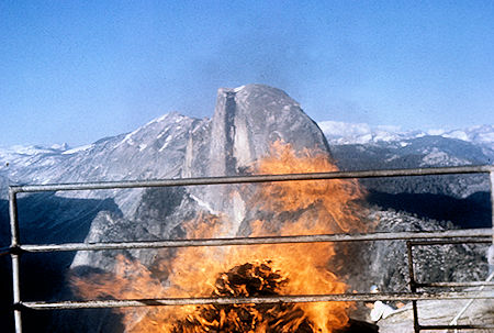
The fire burning with Half Dome in the background - Yosemite National Park Jul 1957
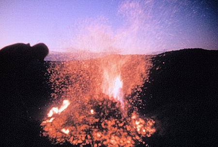
Bed of coals ready for the firefall - Yosemite National Park Jul 1957
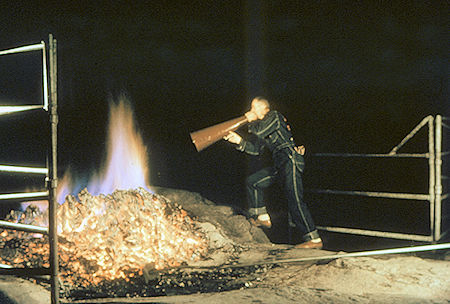
Calling Camp Curry - Yosemite National Park Jul 1957
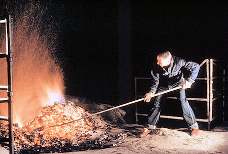
Pushing the burning embers over the cliff - Yosemite National Park Jul 1957
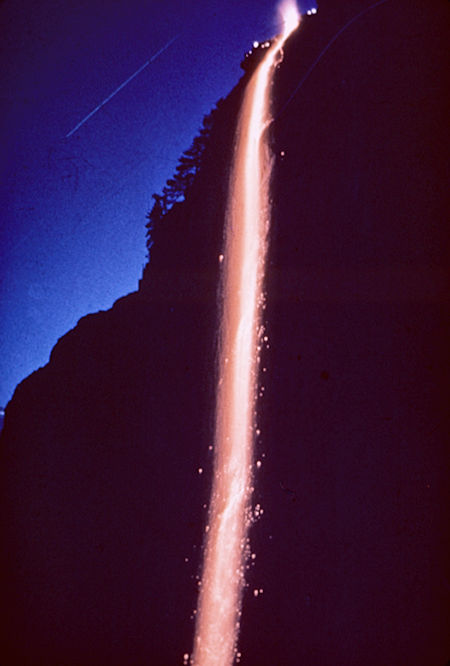
The firefall - Yosemite National Park Jul 1957
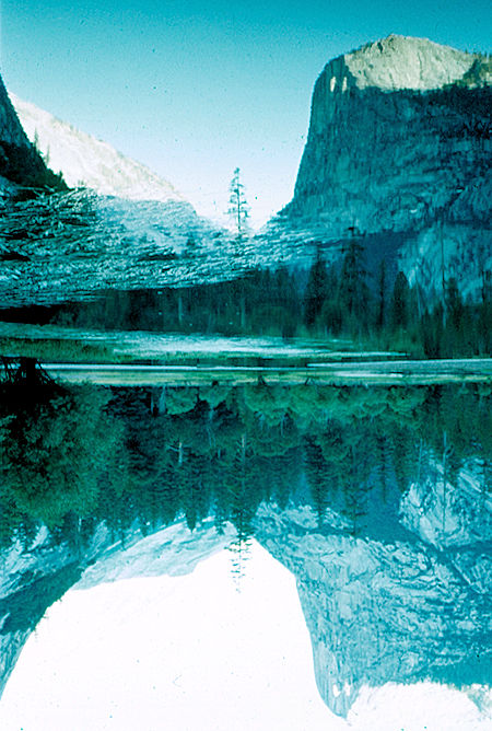
Mirror Lake and Half Dome - Yosemite National Park Jul 1957
I was having a tremendous time on my first visit to the Sierra as I took the Yosemite Park and Curry Co. Bus to Merced at the end of the second week. I was on my way to Sequoia National Park and the High Sierra Trail.
