Yosemite Falls
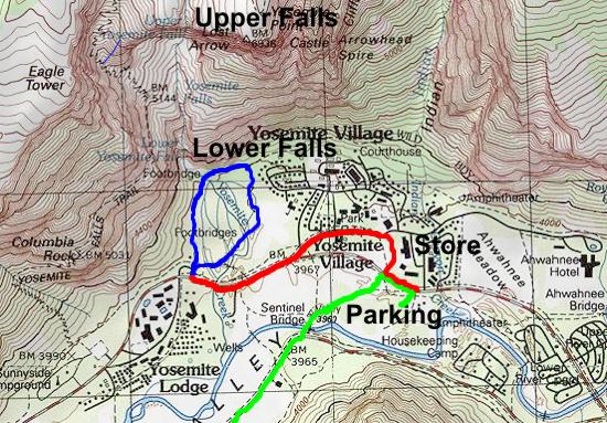
After lunch we took the free shuttle to Yosemite Falls (red line on map).
The first bus took us from the Day-Use Parking area to the Visitor Center. A second bus took us to Yosemite Falls. The buses run about every 15 minutes but we only had to wait a few minutes.
The crowds and limited parking make using the shuttle bus the best deal for getting from place to place in the valley.
At Yosemite Falls we walked up a path with views of the Upper and Lower Yosemite Falls to a bridge below the Lower Falls (blue line on map).
Andrew hiked a short distance toward the falls alongside the stream for a better view.
We then walked down a different route back to the road and took the shuttle bus back to the car.
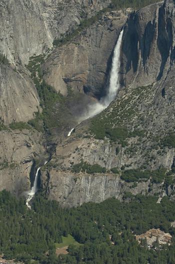
Yosemite Falls from Glacier Point
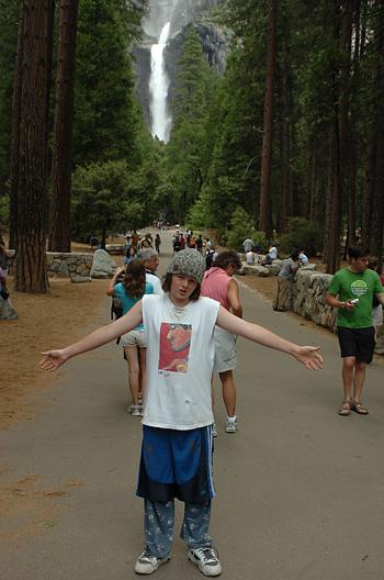
Andrew and Yosemite Falls from trail to Lower Falls
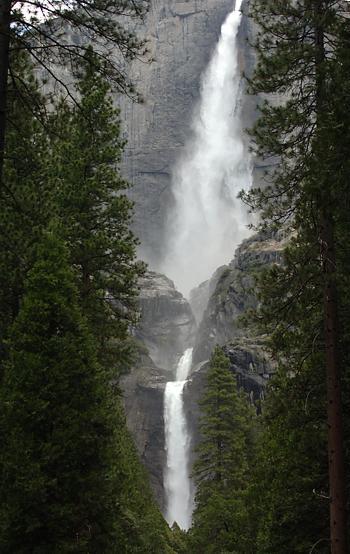
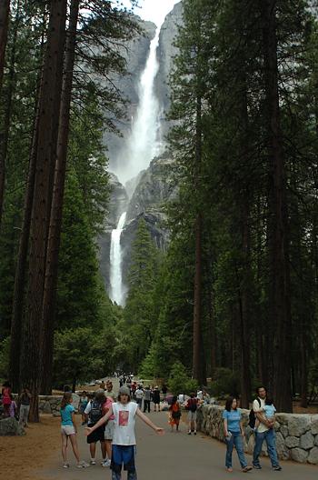
Upper and Lower Yosemite Falls
Andrew and Lower Yosemite Falls on trail
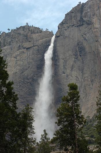
Upper Yosemite Falls
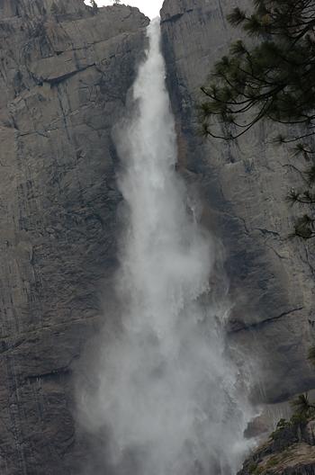
Upper Yosemite Falls
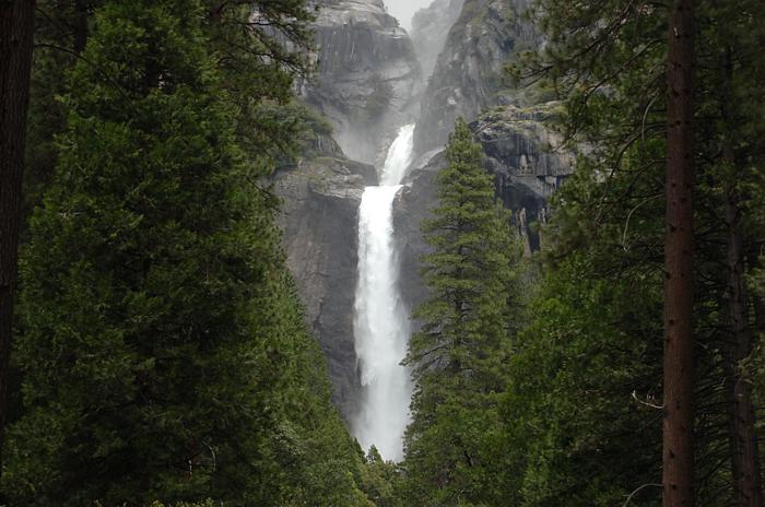
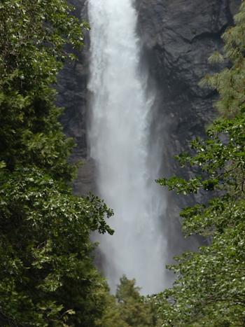
Lower Yosemite Falls
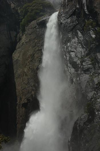
Lower Yosemite Falls
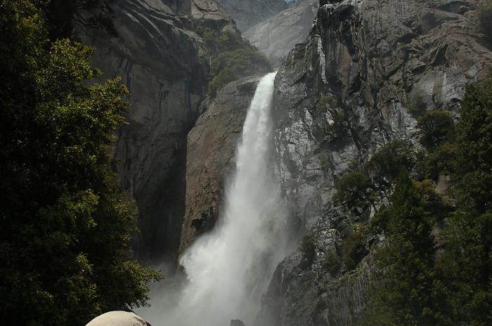
Lower Yosemite Falls
Lower Yosemite Falls
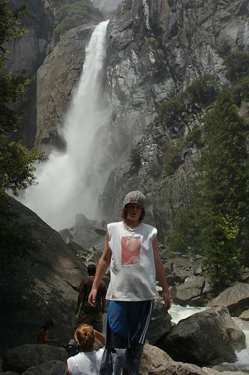
Andrew and Lower Yosemite Falls
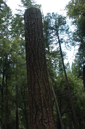
Andrew's Mother likes trees
For future reference
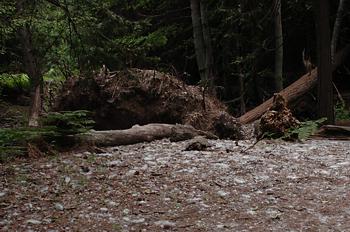
Fallen tree along path back to bus
For future reference
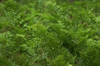
Ferns along trail back to bus
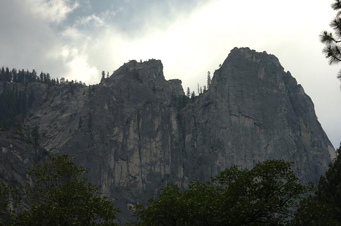
Cliffs next to trail back to bus