On August 28-September 10, 1976, myself, Gil Beilke, Marty Nikolaus and Randy Stevenson along with Stan Haye thru September 4 and Lisa Sternberg thru September 5 backpacked from McGee Creek to Pine Creek in the John Muir Wilderness.
Gil and Lisa came up to my apartment in Lone Pine on Friday evening, August 27. Saturday morning, August 28, 1976 we left at 6 a.m. and picked up Marty, Randy and Stan in Independence. We drove to the Pine Creek pack station, leaving the food for the second week with the packer and parking Gil and Stan's cars; then on to McGee Creek where we hit the trail about 10 a.m. We had a pleasant hike to Steelhead Lake (5.5 miles). Lisa wasn't feeling too well so was slow. We all felt our heavy packs. Made camp about 4 p.m. with numerous rests. Nice camp at southeast side of lake.
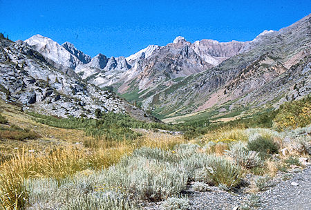
McGee Creek - John Muir Wilderness 28 Aug 1976
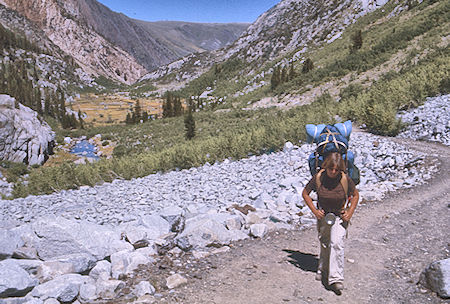
McGee Creek, Lisa Sternberg - John Muir Wilderness 28 Aug 1976
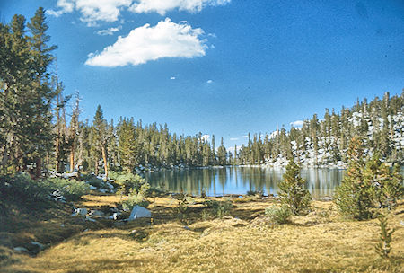
Steelhead Lake - John Muir Wilderness 28 Aug 1976
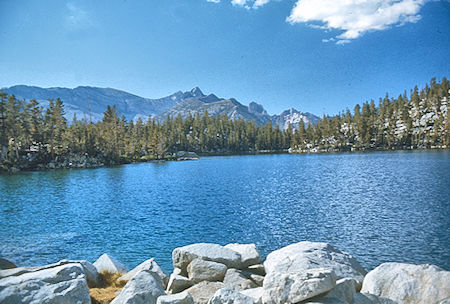
Mt. Baldwin over Steelhead Lake - John Muir Wilderness 28 Aug 1976
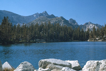
Mt. Baldwin over Steelhead Lake - John Muir Wilderness 28 Aug 1976
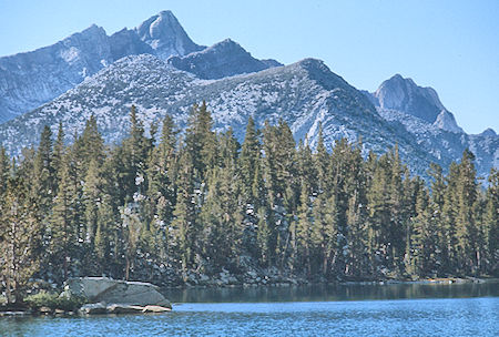
Mt. Baldwin over Steelhead Lake - John Muir Wilderness 28 Aug 1976
Sunday, August 29, 1976 we were up at 6 and on the trail before 8. We backtracked a short distance to an old trail junction and followed the old trail west toward the McGee Creek trail. We traveled in two groups of three and both lost the trail eventually - but found the main trail below Big McGee Lake. Gil and Marty charged ahead while the rest of us moved slower. The slow group reached McGee Pass about 1 p.m. and had lunch. We decided not to climb Red Slate due to tiredness and time, and proceeded down the pass meeting Gil and Marty at Tully Lake. We decided to shorten the planned day and camp at some small lakes 1/2 mile or so above Tully Lake (6.5 miles). Lisa was now feeling fine and we moved along well.
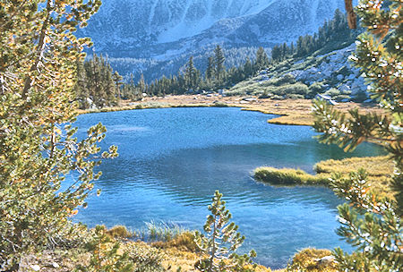
Round Lake
John Muir Wilderness 29 Aug 1976
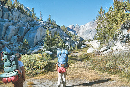
Stan Haye and Lisa Sternberg on the way to McGee Lake
John Muir Wilderness 29 Aug 1976
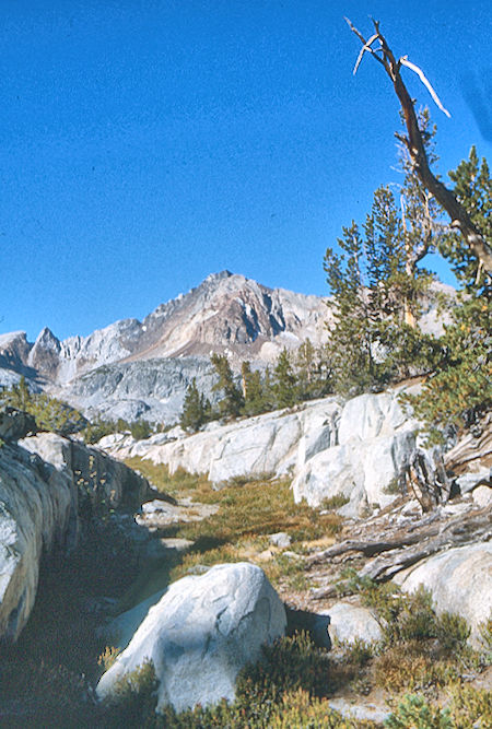
Red and White Mountain
John Muir Wilderness 29 Aug 1976
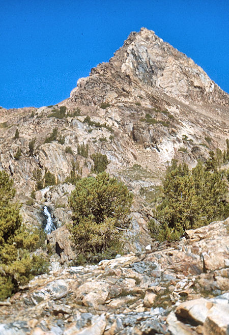
On the way to McGee Pass
John Muir Wilderness 29 Aug 1976
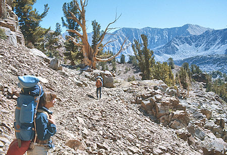
McGee Pass Trail
John Muir Wilderness 29 Aug 1976
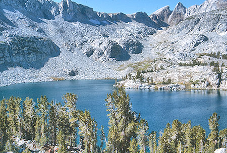
Big McGee Lake, Hopkins Pass
John Muir Wilderness 29 Aug 1976
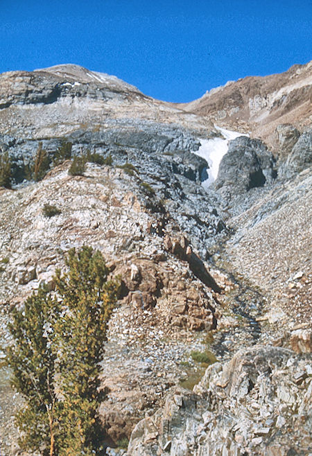
On the way to McGee Pass
John Muir Wilderness 29 Aug 1976
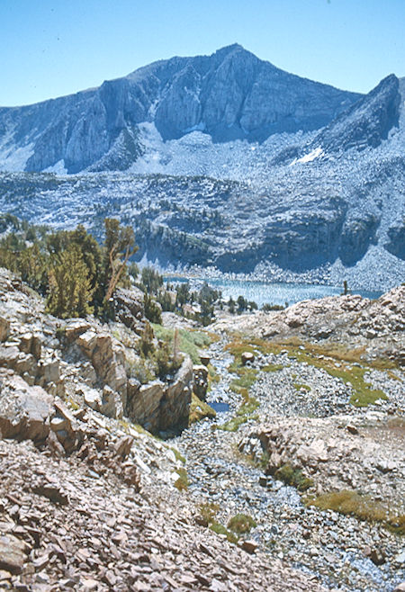
Big McGee Lake
John Muir Wilderness 29 Aug 1976
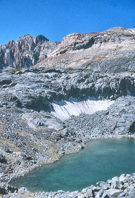
Upper McGee Lake
John Muir Wilderness 29 Aug 1976
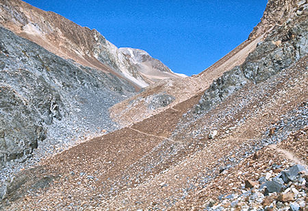
McGee Pass trail
John Muir Wilderness 29 Aug 1976
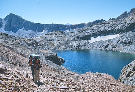
Upper McGee Lake, Hopkins Pass
John Muir Wilderness 29 Aug 1976
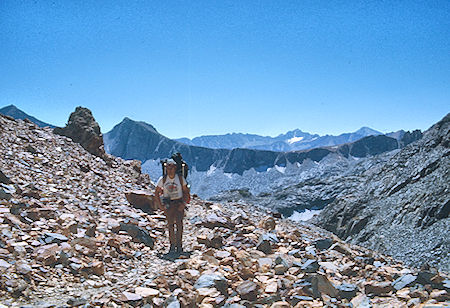
Mt. Crocker, Hopkins Pass, Mt. Mills (rear), Stan Haye on McGee Pass Trail
John Muir Wilderness 29 Aug 1976
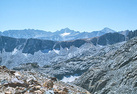
Hopkins Pass, Mt. Mills (rear) from McGee Pass Trail
John Muir Wilderness 29 Aug 1976
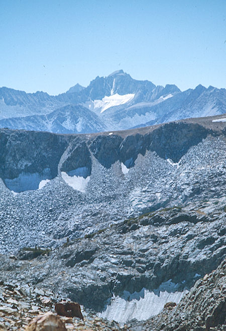
Mt. Mills, Hopkins Pass (right edge)
John Muir Wilderness 29 Aug 1976
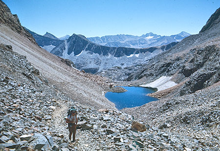
Mt. Crocker, Mt. Mills, Hopkins Pass, unnamed lake, Stan Haye
John Muir Wilderness 29 Aug 1976
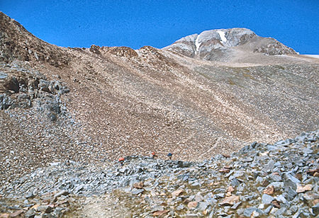
McGee Pass, Red Slate Mountain
John Muir Wilderness 29 Aug 1976
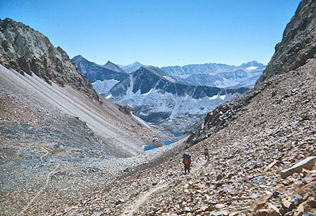
Looking back from near McGee Pass
John Muir Wilderness 29 Aug 1976
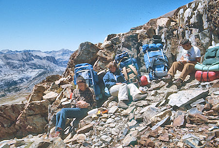
Lunch on McGee Pass
John Muir Wilderness 29 Aug 1976
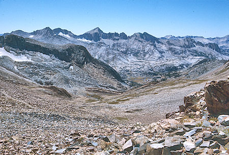
View toward Silver Divide from McGee Pass
John Muir Wilderness 29 Aug 1976
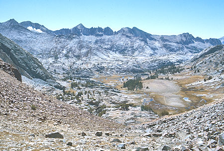
Below McGee Pass
John Muir Wilderness 29 Aug 1976
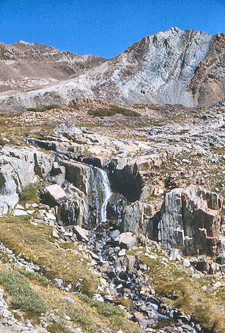
McGee Pass trail
John Muir Wilderness 29 Aug 1976
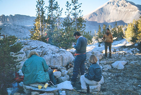
Camp above Tully Lake
John Muir Wilderness 29 Aug 1976
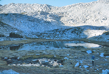
On the way to Big Horn Lake
John Muir Wilderness 30 Aug 1976
Monday, August 30, 1976 we headed to the saddle which would take us to Bighorn Lake (Class 2). From there, Gil and Marty set out to climb Mt. Izaak Walton. The rest of us decided we shouldn't go on the original plan to Mott Lake but should cross the saddle southeast of Izaak Walton, then contour around to Silver Pass. So, we set out in that direction, meeting Gil and Marty on their descent from the peak. They had to go further down to retrieve their packs, and then we all topped the pass (Class 3).
The rest of us decided to climb Izaak Walton, so all six of us went to the peak (Gil & Marty for the second time that day). After great views, (Lisa's first peak by the way), we headed down and contoured around to the Muir Trail and Silver Pass Lake where we camped. (6 miles, mostly cross country).
Mt. Izaak Walton is isolated and blending in to the scenery of the twelve mile long Silver Divide in the John Muir Wilderness. Mount Izaak Walton is not especially prominent (having only 497 feet of mean prominence) but offers great class 3 scrambling opportunities and spectacular scenery from the summit and the surrounding lakes, streams, and mountain passes.
The divide stretches from Red and White Mountain in the east to Sharktooth Peak in the west separating the Fish Creek and Mono Creek drainages to the north and south. The north slopes lead to many lakes and the immense seemingly manicured lawns of the Fish Creek headwaters sitting below massive Red Slate Mountain. They are just a few of many potential highlights of a visit to the area.
Despite the excellent scrambling on most of its routes, Mount Izaak Walton is relatively unnoticed compared to the larger and more prominent peaks to the northeast of Red Slate Mountain and Red and White Mountain. All three of these peaks are members of the Sierra Club’s popular SPS Peaks List and visiting one or both of these as part of an itinerary is possible for visitors especially if approaching from the east on a multiday outing.
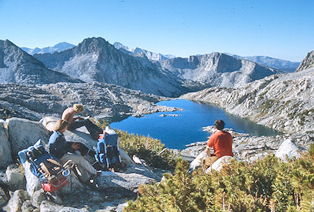
Bighorn Lake
John Muir Wilderness 30 Aug 1976
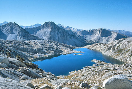
Bighorn Lake
John Muir Wilderness 30 Aug 1976
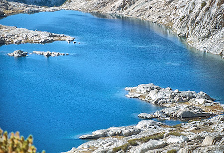
Bighorn Lake
John Muir Wilderness 30 Aug 1976
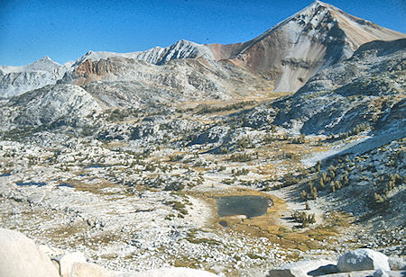
Red Slate Mountain from 'pass'
John Muir Trail 30 Aug 1976
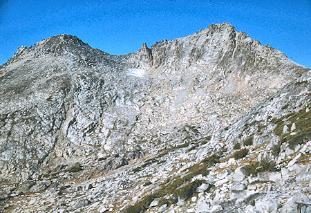
Mt. Izaak Walton
John Muir Wilderness 30 Aug 1976
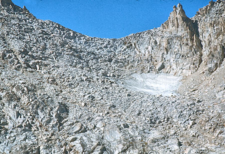
Pass south of Mt. Izaak Walton
John Muir Wilderness 30 Aug 1976
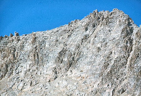
East side of Mt. Izaak Walton
John Muir Wilderness 30 Aug 1976
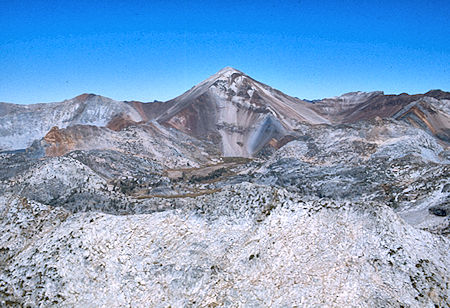
Red Slate Mountain and McGee Pass from Mt. Izaak Walton
John Muir Wilderness 30 Aug 1976
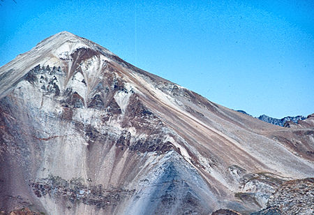
Red Slate Mountain and McGee Pass from Mt. Izaak Walton
John Muir Wilderness 30 Aug 1976
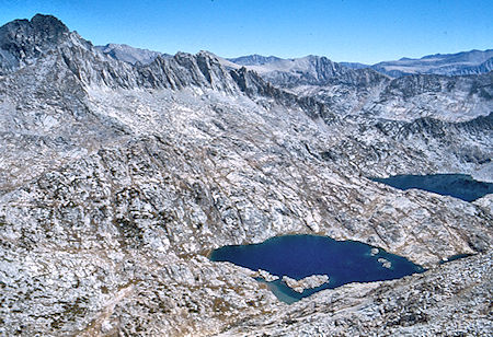
Red and White Mountain, Bighorn and Rosy Finch Lakes from
Mt. Isaak Walton - John Muir Wilderness 29 Aug 1976
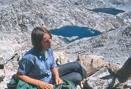
Bighorn and Rosy Finch Lakes from Mt. Isaak Walton, Marty Nikolaus
John Muir Wilderness 29 Aug 1976
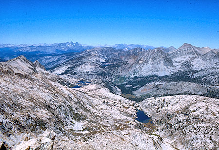
Banner Peak and Mt. Ritter (skyline), Izaak Walton Lake from
Mt. Izaak Walton - John Muir Wilderness 30 Aug 1976
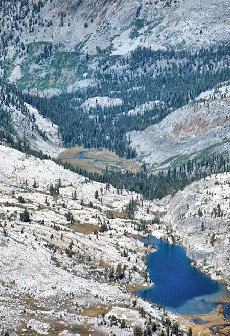
Horse Heaven, Izaak Walton Lake from Mt. Izaak Walton
John Muir Wilderness 30 Aug 1976
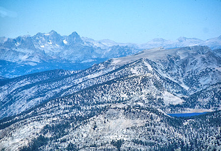
Banner Peak, Mt. Ritter (skyline), Virginia Lake from Mt. Izaak Walton
John Muir Wilderness 30 Aug 1976
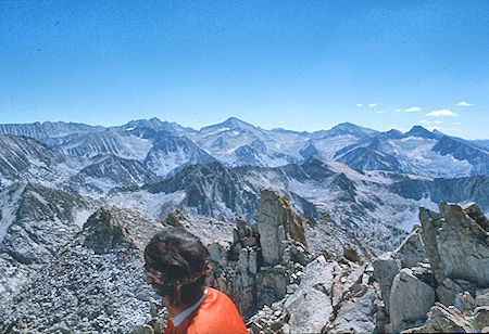
Graveyard Peaks from Mt. Izaak Walton
John Muir Wilderness 30 Aug 1976
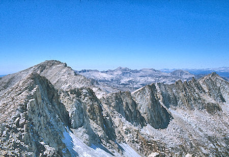
Graveyard Peaks from Mt. Izaak Walton
John Muir Wilderness 30 Aug 1976
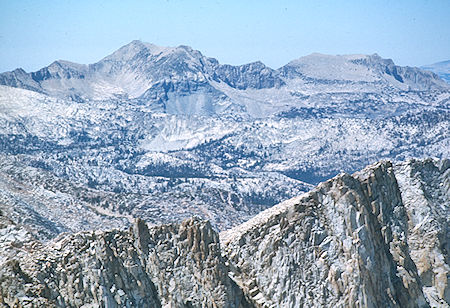
Graveyard Peaks from Mt. Izaak Walton
John Muir Wilderness 30 Aug 1976
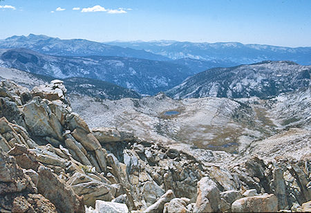
View toward Mono Creek from Mt. Izaak Walton
John Muir Wilderness 30 Aug 1976
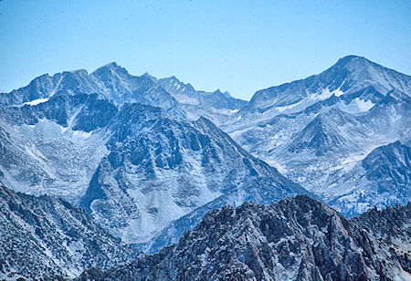
View toward Mt. Mills, Mt. Gabb, 2nd Recess from Mt. Izaak Walton
John Muir Wilderness 30 Aug 1976
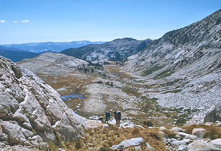
On the way to Silver Pass from Mt. Izaak Walton
John Muir Wilderness 30 Aug 1976
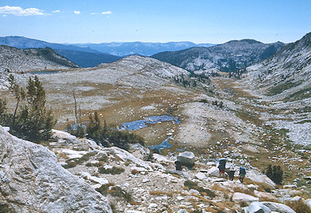
On the way to Silver Pass from Mt. Izaak Walton
John Muir Wilderness 30 Aug 1976
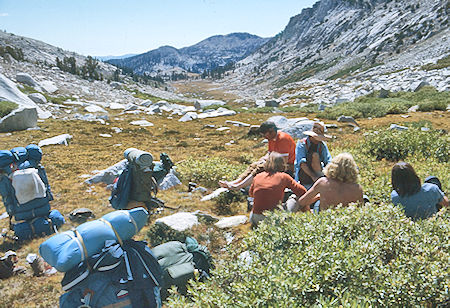
Rest stop on way to Silver Pass Lake
John Muir Wilderness 30 Aug 1976
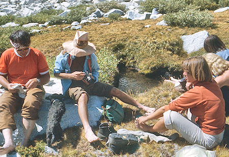
Rest stop on way to Silver Pass Lake
John Muir Wilderness 30 Aug 1976
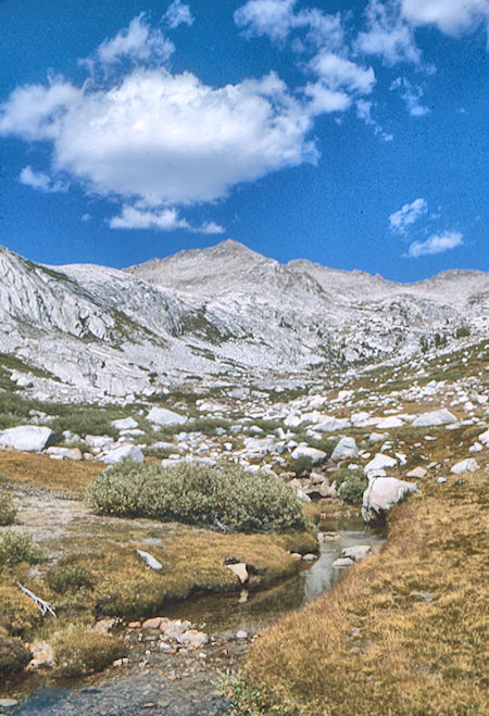
Looking back at Mt. Izaak Walton
John Muir Wilderness 30 Aug 1976
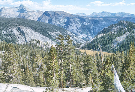
View toward Pocket Meadow
John Muir Wilderness 30 Aug 1976
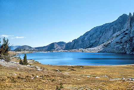
Silver Pass Lake
John Muir Wilderness 30 Aug 1976
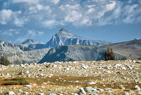
Seven Gables from Silver Pass Lake
John Muir Wilderness 30 Aug 1976
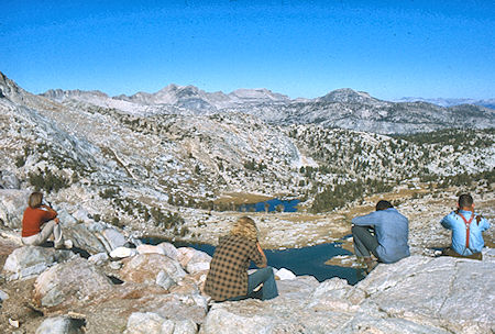
Chief and Papoose Lakes from Silver Pass, Lisa Sternberg, Randy Stevenson,
Marty Nikolaus, Gil Beilke - John Muir Wilderness 31 Aug 1976
We decided to have a Layover Day on August 31, 1976 at Silver Pass Lake. Stan stayed mostly around camp, going up to Silver Pass. Marty and Randy stayed around camp after going to Silver Pass, then climbing Peak 12,221 east of the pass. Gil and I headed via Silver Pass to Grassy Lake on the trail, returned via Wilbur May Lake and a little cross-country. Lisa went via Silver Pass and the trail to Wilbur May Lake, and after trying her hand at a cross-country route, returned by the trail to camp. (Gil & Don 9.0 miles)
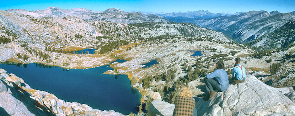
Chief Lake, Papoose Lake (left), Mt. Ritter and Banner Peak (right skyline), Cascade Valley (right} from Silver Pass, Randy Stevenson, Marty Nikolaus,
Gil Beilke - John Muir Wilderness 31 Aug 1976
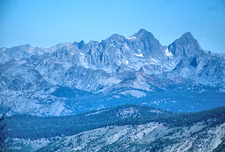
Mt. Ritter, Banner Peak from Silver Pass
John Muir Wilderness 31 Aug 1976
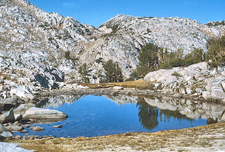
Goodale Pass from Papoose Lake
John Muir Wilderness 31 Aug 1976
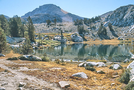
Papoose Lake
John Muir Wilderness 31 Aug 1976
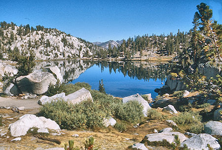
Lake of the Lone Indian
John Muir Wilderness 31 Aug 1976
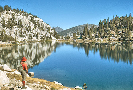
Lake of the Lone Indian, Don Deck
John Muir Wilderness 31 Aug 1976 (Gil Beilke Photo)
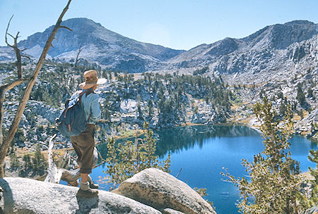
Lake of the Lone Indian, Gil Beilke
John Muir Wilderness 31 Aug 1976
Moss in creek
John Muir Wilderness 31 Aug 1976
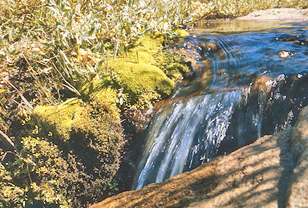
Creek - John Muir Wilderness 31 Aug 1976
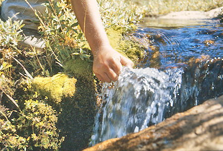
Getting a cup of water from the creek
John Muir Wilderness 31 Aug 1976
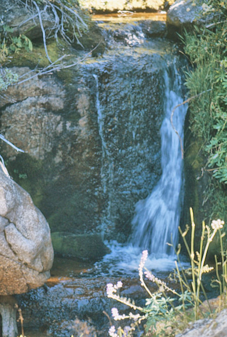
Cascade - John Muir Wilderness 31 Aug 1976
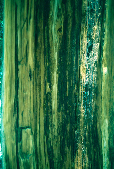
Tree - John Muir Wilderness 31 Aug 1976
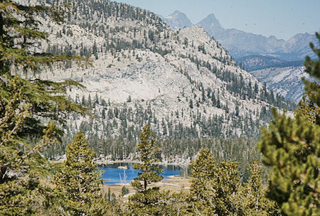
Grass Lake, Mt. Ritter and Banner Peak (skyline)
John Muir Wilderness 31 Aug 1976
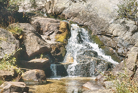
Cascade - John Muir Wilderness 31 Aug 1976
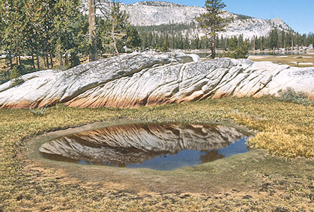
At Grassy Lake
John Muir Wilderness 31 Aug 1976
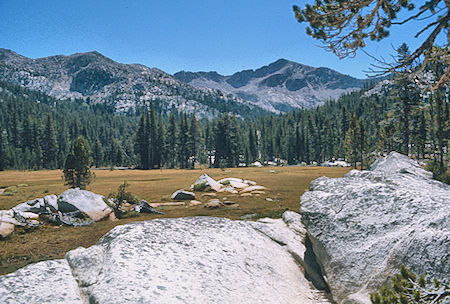
Meadow above Grassy Lake
John Muir Wilderness 31 Aug 1976
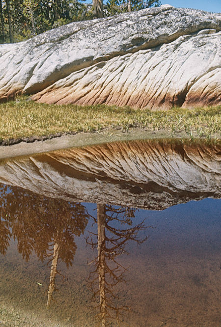
At Grassy Lake
John Muir Wilderness 31 Aug 1976
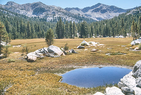
Meadow above Grassy Lake
John Muir Wilderness 31 Aug 1976
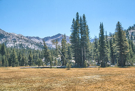
Meadow above Grassy Lake
John Muir Wilderness 31 Aug 1976
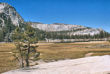
Grassy Lake
John Muir Wilderness 31 Aug 1976
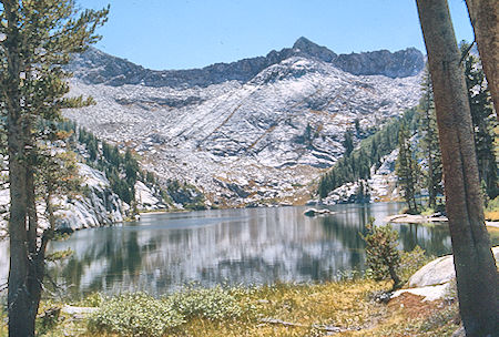
Wilbur May Lake
John Muir Wilderness 31 Aug 1976
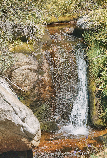
Cascade near Grassy Lake
John Muir Wilderness 31 Aug 1976
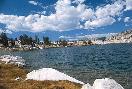
Papoose Lake
John Muir Wilderness 31 Aug 1976
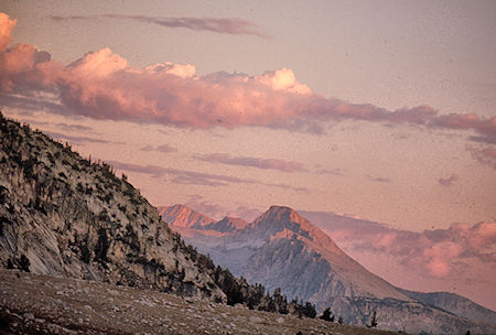
Sunset on Mono Divide from Silver Pass Lake
John Muir Wilderness 31 Aug 1976
Wednesday, September 1, 1976 we headed by trail down the Muir Trail to Pocket Meadow and over into Mono Creek, then up Second Recess about 1.5 miles to camp near the junction of Second Recess creek and Mills Creek. We ate lunch at Fish Camp and were in camp about 2 p.m. (10.5 miles). Gil went sightseeing on a ridge near Mist Lake, Don checked out part of the trail for tomorrow and the rest rested, did laundry, etc. It was a warm and uneventful day.
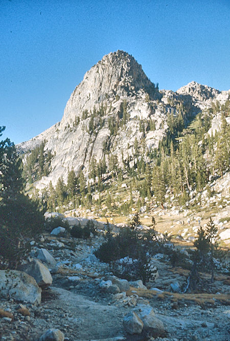
Silver Pass Creek
John Muir Wilderness 01 Sep 1976
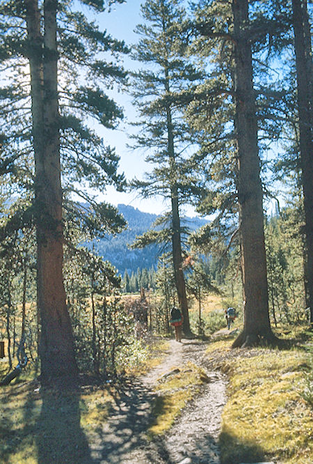
Silver Pass Creek Trail
John Muir Wilderness 01 Sep 1976
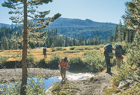
Meadow on Silver Pass Creek
John Muir Wilderness 01 Sep 1976
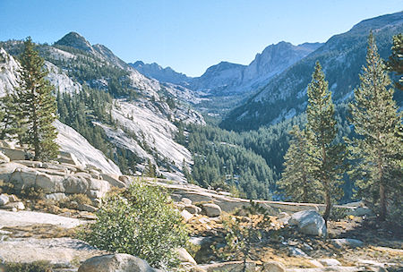
North Fork Mono Creek toward Mott Lake from John Muir Trail
John Muir Wilderness 01 Sep 1976
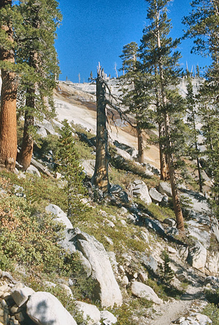
Silver Pass Creek cascade
John Muir Wilderness 01 Sep 1976
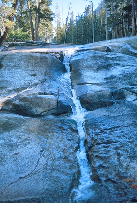
North Fork Mono Creek below Pocket Meadow
John Muir Wilderness 01 Sep 1976
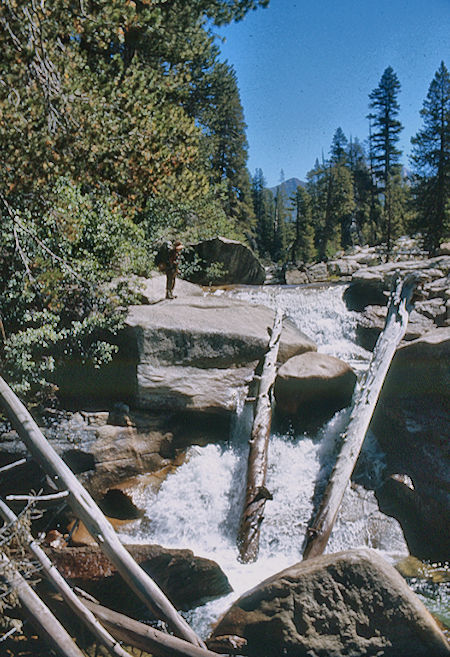
Mono Creek
John Muir Wilderness 01 Sep 1976
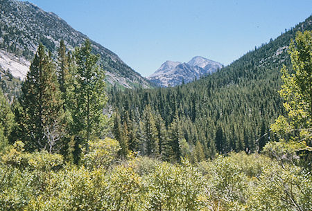
Second Recess
John Muir Wilderness 01 Sep 1976
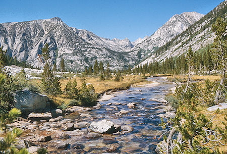
Second Recess
John Muir Wilderness 01 Sep 1976
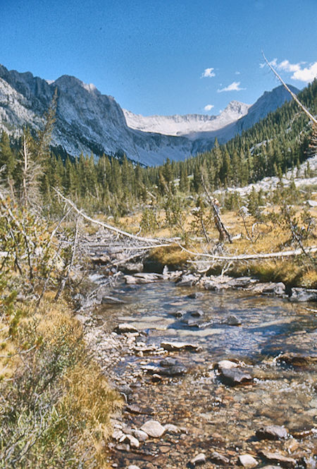
Second Recess, Mono Divide
John Muir Wilderness 01 Sep 1976
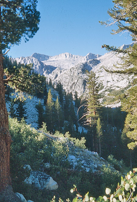
On the way up Mills Creek
John Muir Wilderness 02 Sep 1976
Thursday, September 2, 1976 we moved the short distance via a steep but good use trail up Mills Creek to Lower Mills Creek Lake (3.0 miles). The views were great and nice falls along the creek. We were in camp quite early and enjoyed an easy day - swimming, laundry, sleeping, reading, etc. - except Gil, who as usual, climbed a nearby unnamed peak. It was sunny and hot.
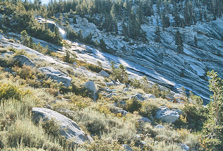
Mills Creek
John Muir Wilderness 02 Sep 1976
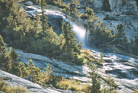
Mills Creek
John Muir Wilderness 02 Sep 1976
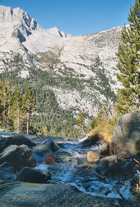
Mills Creek
John Muir Wilderness 02 Sep 1976
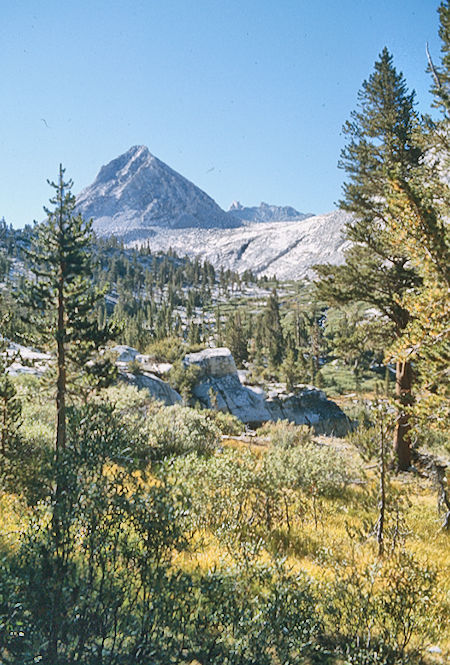
Below lower Mills Creek Lake
John Muir Wilderness 02 Sep 1976
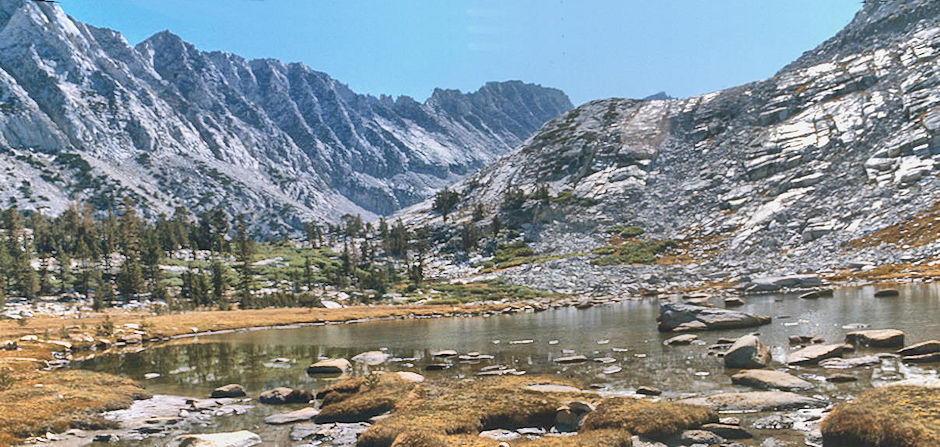
Pond below Lower Mills Lake - John Muir Wilderness 02 Sep 1976
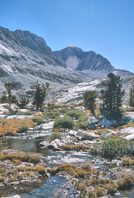
Mt. Mills, Mt. Abbot, Mills Creek
John Muir Wilderness 02 Sep 1976
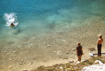
Lisa Sternberg and Randy Stevenson watching Marty Nikolaus swim
in Lower Mill Creek Lake
John Muir Wilderness 02 Sep 1976
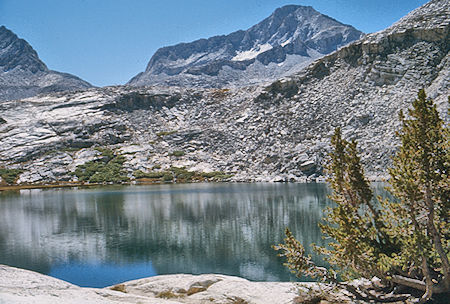
Lower Mills Creek Lake, Mt. Gabb
John Muir Wilderness 02 Sep 1976
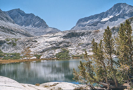
Mt. Abbot, Gabbot Pass, Mt. Gabb, Lower Mills Creek lake
John Muir Wilderness 02 Sep 1976
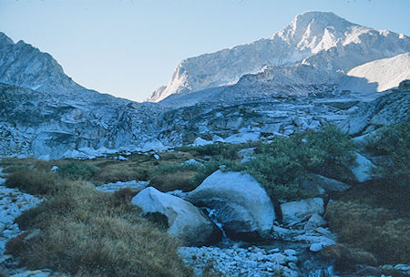
Enroute to Gabbot Pass, Mt. Gabb
John Muir Wilderness 03 Sep 1976
Friday, September 3, 1976 we got an early start for Gabbot Pass which turned out to be fairly easy. From the pass, Gil and Marty climbed Mt. Gabb while the rest of us took it easy and continued down the easy south slopes to Lake Italy. We picked up the trail at the outlet and continued about a mile down to camp in the trees. The trail was in very poor condition - having apparently been destroyed in part in 1969. We made camp about 2, and I decided to go back up the trail to meet the packer - on the possibility that he might not make it over Italy Pass and to our camp. I met him leading the stock cross country below Jumble Lake. He took our supplies to within about 1/2 mile of camp and then headed back over the pass - hoping to make it before dark. Gil and I hauled the supplies the final distance to camp. (6.5 miles to camp, 4 miles RT for packer).
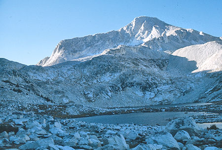
Upper Mills Creek Lake, Mt. Gabb on way to Gabbot Pass
John Muir Wilderness 03 Sep 1976
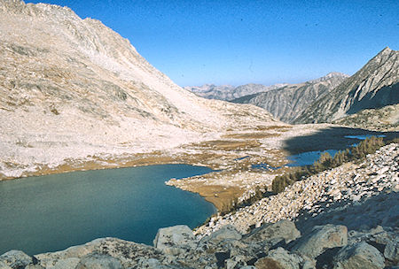
Looking back on Upper Mills Creek Lake
John Muir Wilderness 03 Sep 1976
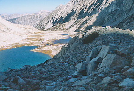
Upper Mills Creek Lake from Gabbot Pass route
John Muir Wilderness 03 Sep 1976
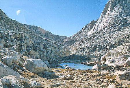
Nearing Gabbot Pass
John Muir Wilderness 03 Sep 1976
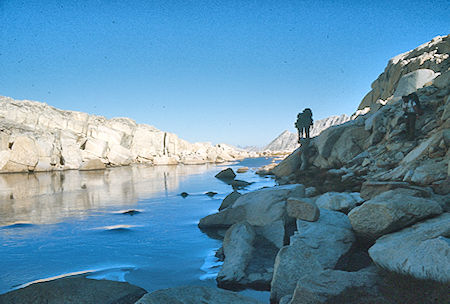
Icy lake near Gabbot Pass
John Muir Wilderness 03 Sep 1976
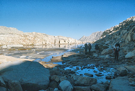
Icy lake near Gabbot Pass
John Muir Wilderness 03 Sep 1976
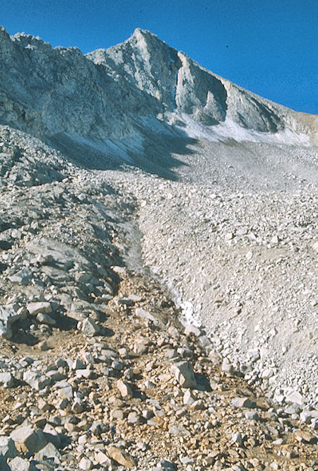
Mt. Gabb and glacier
John Muir Wilderness 03 Sep 1976
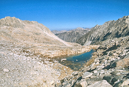
North from near Gabbot Pass
John Muir Wilderness 03 Sep 1976
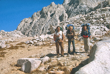
Stan Haye, Randy Stevenson, Lisa Sternberg on Gabbot Pass
John Muir Wilderness 03 Sep 1976
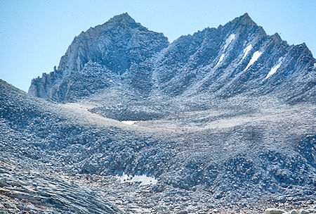
Bear Creek Spire and pass to Rock Creek from Gabbot Pass
John Muir Wilderness 03 Sep 1976
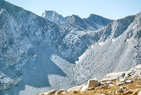
Italy Pass from Gabbot Pass
John Muir Wilderness 03 Sep 1976
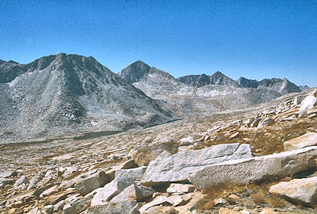
Lake Italy descending from Gabbot Pass
John Muir Wilderness 03 Sep 1976
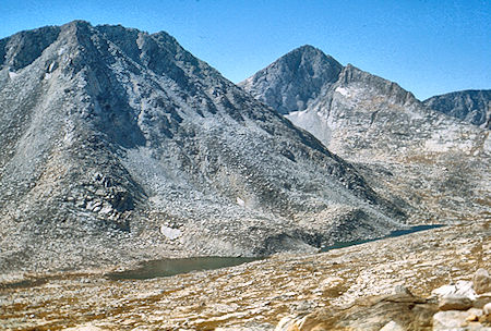
Lake Italy descending from Gabbot Pass
John Muir Wilderness 03 Sep 1976
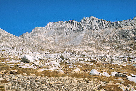
Looking back on Gabbot Pass, Mt Mills, Mt. Abbot and Mt. Dade from
near Lake Italy - John Muir Wilderness 03 Sep 1976
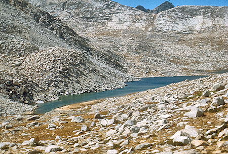
Lake Italy
John Muir Wilderness 03 Sep 1976
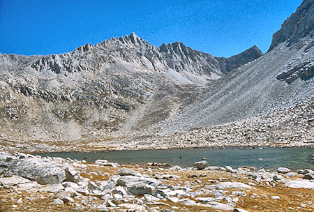
Bear Creek Spire over Toe Lake
John Muir Wilderness 03 Sep 1976
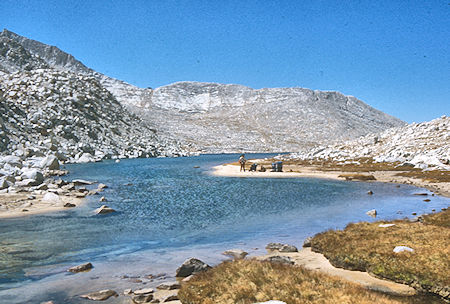
Lake Italy
John Muir Wilderness 03 Sep 1976
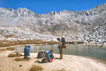
The crest from head of Lake Italy, Rand Stevenson, Marty Nikolaus,
Stan Haye - John Muir Wilderness 03 Sep 1976
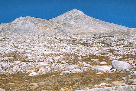
Mt. Gabb from Lake Italy
John Muir Wilderness 03 Sep 1976
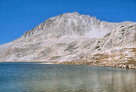
Mt. Hilgard from Lake Italy
John Muir Wilderness 03 Sep 1976
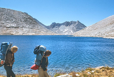
Lake Italy, Randy Stevenson, Lisa Sternberg
John Muir Wilderness 03 Sep 1976
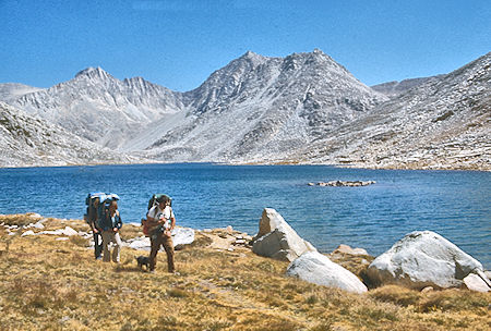
Bear Creek Spire, Mt. Julius Caesar over Lake Italy
Randy Stevenson, Lisa Sternberg, Stan Haye
John Muir Wilderness 03 Sep 1976
Saturday, September 4, 1976 was a layover day.
Roger Getz drove up from San Diego on Friday, arriving at the road head about 3 a.m. He left about 8 am and made it over the Pass to camp around 3 p.m.
Stan Haye left about 8 on his way out and met Roger near the Pass. Gil, Marty and I climbed Mt. Hilgard while Randy and Lisa rested.
During the late afternoon it stormed and rained around us but we got only light sprinkles.
During the night we had a period of heavy rain and Roger and Lisa moved in with Marty and Randy in Marty's tent. Seems Roger and Lisa had set up camp under a tarp in a hole which filled with water.
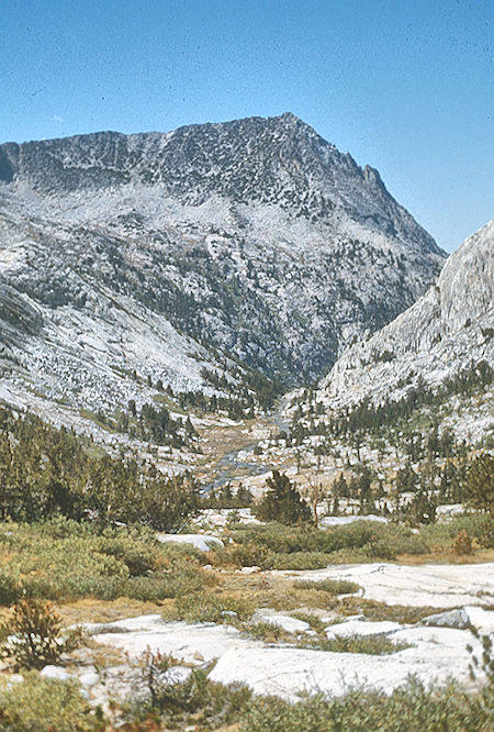
Hilgard Branch of Bear Creek below Lake Italy
John Muir Wilderness 03 Sep 1976
Mount Hilgard is a secluded peak on the Mono Divide in the John Muir Wilderness in Inyo National Forest. The peak is the second highest on the divide, being surpassed by about 400 feet by Mount Gabb located just less than two miles to the northwest.
Due to their proximity Mount Hilgard and Mount Gabb are frequently climbed together, and the two are both easily climbed in a day from Lake Italy or its vicinity. Both peaks make for imposing sights when seen from across the shores of nearby Lake Italy to the south.
Recess Peak sits to the northwest on the opposite end of the Mono Divide but is less commonly climbed with Mount Hilgard due to the intervening terrain. Views include an excellent look at the Mono Recesses to the north, Lake Italy and its environs to the west, and Seven Gables and the Marie Lake basin to the south.
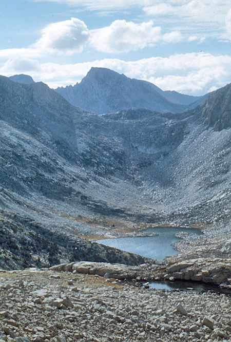
Brown Bear Lake from side of Mt. Hilgard
John Muir Wilderness 04 Sep 1976
John Muir Wilderness 03 Sep 1976
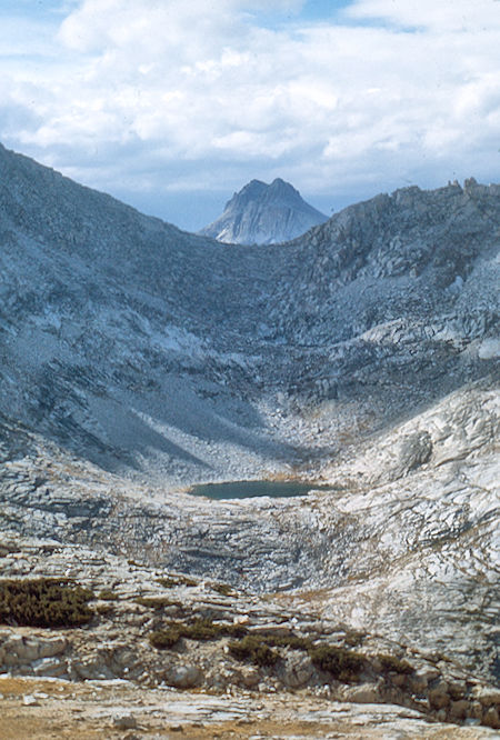
Bear Trap Lake and Gemini from side of Mt. Hilgard
John Muir Wilderness 04 Sep 1976
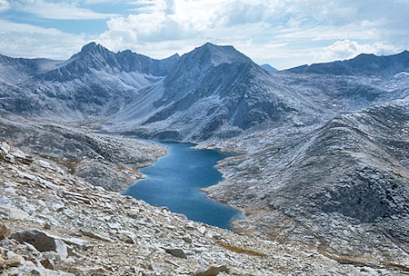
Bear Creek Spire, Julius Caesar, Italy Pass and Lake Italy from
side of Mt. Hilgard - John Muir Wilderness 04 Sep 1976
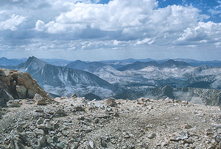
Seven Gables, Selden Pass, Mt. Hooper, Marie Lake, Rose Lake from
top of Mt. Hilgard - John Muir Wilderness 04 Sep 1976
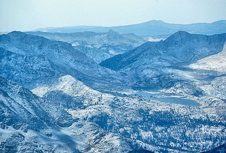
Selden Pass, Marie Lake from Mt. Hilgard
John Muir Wilderness 04 Sep 1976
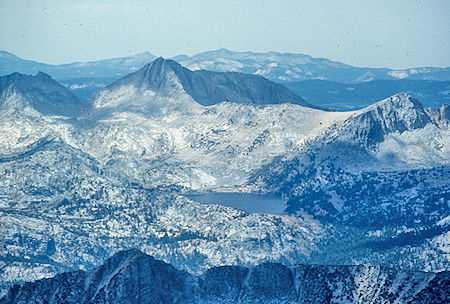
Mt. Hooper, Rose Lake from Mt. Hilgard
John Muir Wilderness 04 Sep 1976
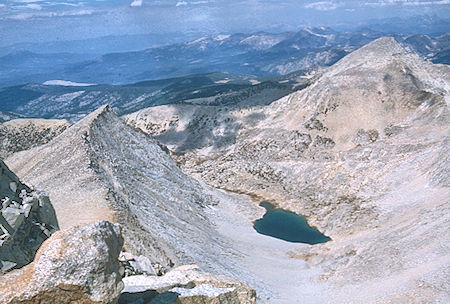
Hilgard Lake, Edison Lake from Mt. Hilgard
John Muir Wilderness 04 Sep 1976
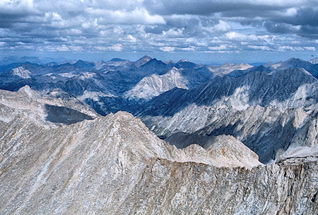
Looking over Second Recess to Laurel Creek from Mt. Hilgard
John Muir Wilderness 04 Sep 1976
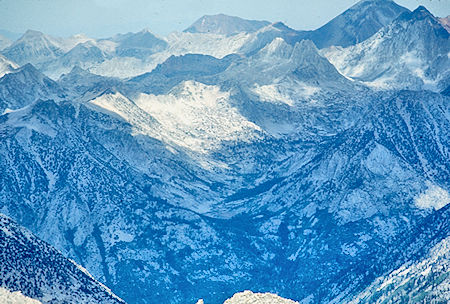
Laurel Creek from Mt. Hilgard
John Muir Wilderness 04 Sep 1976
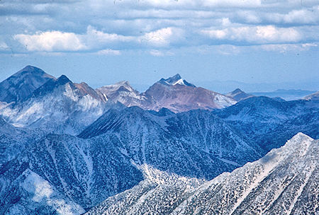
Red Slate Mountain, Mt. Baldwin from Mt. Hilgard
John Muir Wilderness 04 Sep 1976
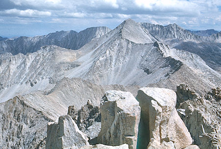
Mt. Gabb and crest from Mt. Hilgard
John Muir Wilderness 04 Sep 1976
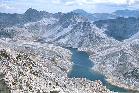
Bear Creek Spire, Julius Caesar, Italy Pass, Jumble Lake, Lake Italy from
Mt. Hilgard - John Muir Wilderness 04 Sep 1976
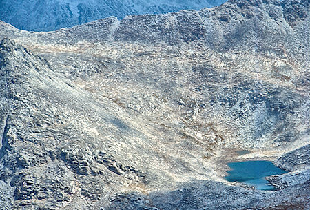
Italy Pass, Jumble Lake from Mt. Hilgard
John Muir Wilderness 04 Sep 1976
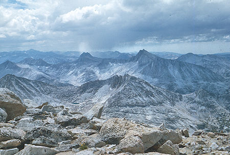
Gable Lakes, Gemini, Seven Gables from Mt. Hilgard
John Muir Wilderness 04 Sep 1976
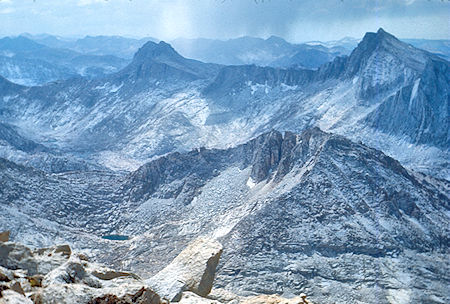
Gable Lakes, Gemini, Seven Gables from Mt. Hilgard
John Muir Wilderness 04 Sep 1976
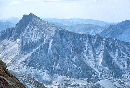
Seven Gables and 'North Gable's from Mt. Hilgard
John Muir Wilderness 04 Sep 1976
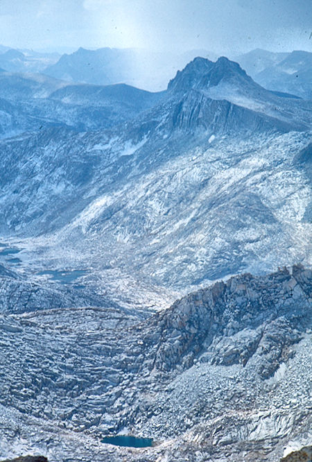
Gable Lakes, Gemini from Mt. Hilgard
John Muir Wilderness 04 Sep 1976
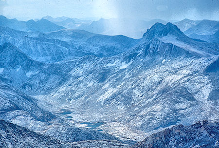
Gable Lakes, Gemini from Mt. Hilgard
John Muir Wilderness 04 Sep 1976
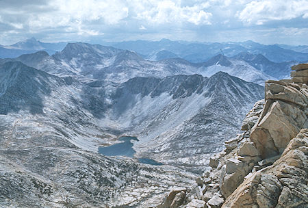
Mt. Humphrey (left skyline), Royce Peak, Brown Bear and Teddy Bear Lakes
from Mt. Hilgard - `John Muir Wilderness 04 Sep 1976
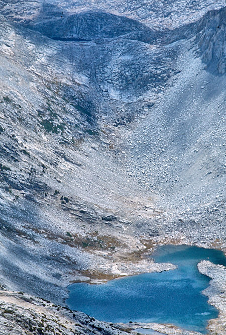
Brown Bear lake from Mt. Hilgard
John Muir Wilderness 04 Sep 1976
Sunday, September 5, 1976 Roger and Lisa headed out over Italy Pass while Gil, Marty, Randy and I headed down the Hilgard Branch of Bear Creek and up to Rose Lake. We arrived about noon as the weather started to close in again. (7.5 miles). We quickly set up camp and got a fire burning and ate lunch. It started raining in earnest so all except Gil took a rest in the tents. Gil hiked around the lake in the rain. The showers quite around supper time so we had no trouble with supper. The sky partly cleared around 8 p.m. and later during the night, but by morning it was still fairly cloudy. Seems a hurricane was in progress off the Baja California coast.
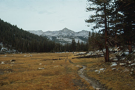
Meadow along Hilgard Branch
John Muir Wilderness 05 Sep 1976
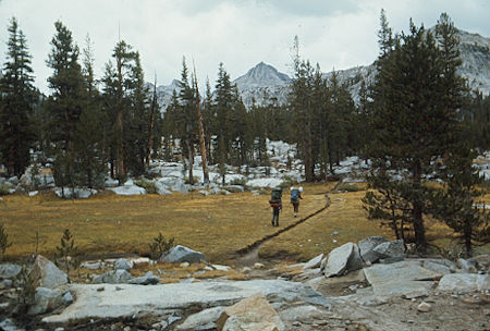
Meadow along Hilgard Branch
John Muir Wilderness 05 Sep 1976
Monday, September 6, 1976 we had breakfast as usual and headed cross-country for Sandpiper Lake where we arrived around 11 a.m. with threatening skies. Spirits were down and the original plan seemed doomed. It looked like another day of rain so we moved down to Lou Beverly Lake and a nice camp around noon. (3.5 miles) The weather seemed stable so Gil set out to climb Seven Gables while the rest of us rested, etc. He made the peak and had good views between cloud openings.
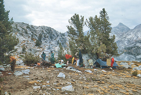
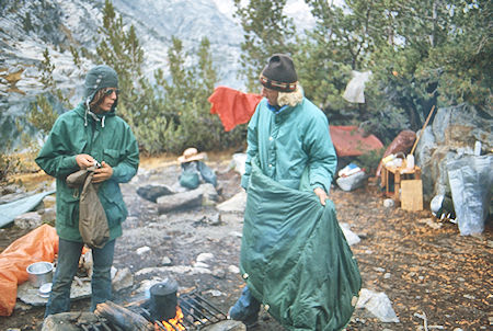
Drying out camp at Rose Lake
John Muir Wilderness 06 Sep 1976
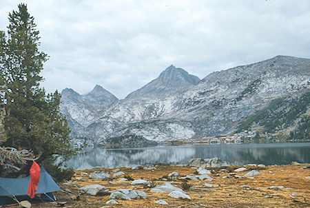
Drying out camp at Rose Lake
John Muir Wilderness 06 Sep 1976
Drying out camp at Rose Lake
John Muir Wilderness 06 Sep 1976
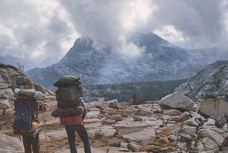
Seven Gables in clouds enroute Rose Lake to Lou Beverly Lake
John Muir Wilderness 6 Sep 1976
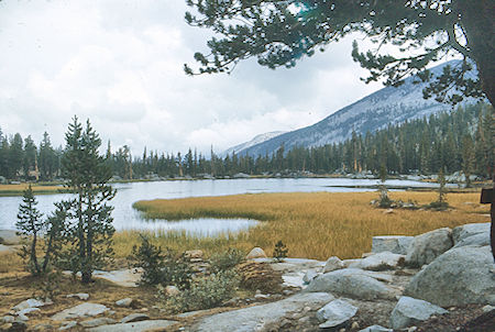
Lou Beverly Lake
John Muir Wilderness 06 Sep 1976
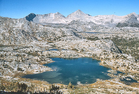
Sandpiper Lake, Marie Lake, Mt. Hooper from route up Seven Gables
John Muir Wilderness 07 Sep 1976
Tuesday, September 7, 1976 we decided to layover. Gil set out to climb Mt. Hooper while Marty, Randy and I set out to climb Seven Gables. Except for the technical summit block Gil made Hooper, and we made Seven Gables and the 12,560 foot "North Gable" nearby. We got back to camp in mid-afternoon about the same time. No rain and the clouds seemed to be clearing.
Seven Gables is the great peak in the Bear Lakes basin close to Lake Italy and Mount Hilgard. It rises above most of the surrounding peaks and therefore has outstanding views ranging from Mount Lyell to Mount Whitney. The area is quite remote, seldom visited, and offers a great feeling of solitude and perfection.
Seven Gables was first climbed in 1894 by Theodore Solomons and Leigh Bierce. Shortly after his ascent, Theodore Solomons wrote of the spectacular views on the summit... "I was too awed to shout. The ideas represented by such words as lovely, beautiful, wild or terrible, cold or desolate, fail to compass it. Words are puny things, and the language of description quite as impotent as the painter's brush. Roughly speaking, one might say that the sight was sublime and awful. I can scarcely conceive of another scene combining the peculiar qualities of that view in a higher degree, and I believe I was then looking upon the finest portion of the crest of the Sierra Nevada Mountains - their scenic culmination, their final triumph."
In addition to the views, good climbing can be found on Seven Gables, and the peak has earned a position on the Sierra Club's Sierra Peaks Section Mountaineer's List, a selection of 35 peaks put together based on the quality of their climbing. There is also the bonus of a fantastically positioned summit block... overhanging the edge and exposed on three sides, but only requiring a very easy class 3 move to ascend.
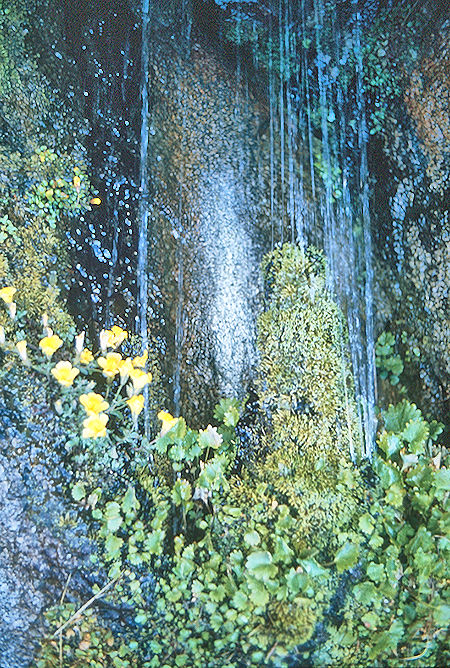
Rock garden on Seven Gables
John Muir Wilderness 07 Sep 1976
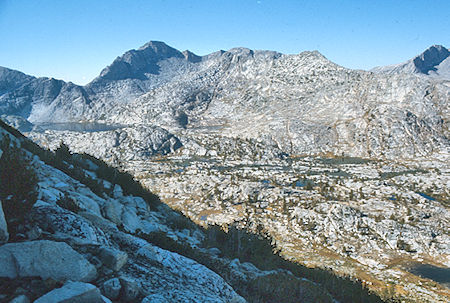
Three Island Lake, Mt. Senger from route up Seven Gables
John Muir Wilderness 07 Sep 1976
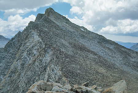
Seven Gables peak from 'North Gable'
John Muir Wilderness 07 Sep 1976
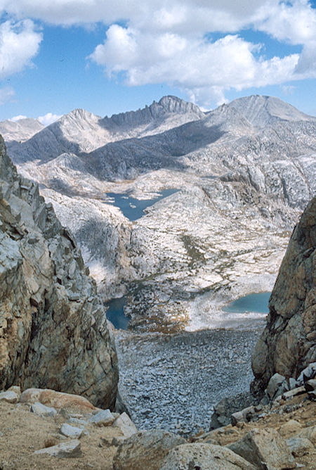
Gable Lakes, Vee Lake, Royce Peak from Seven Gables saddle
John Muir Wilderness 07 Sep 1976
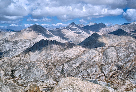
Mt. Hilgard and Mt. Gabb from top of Seven Gables
John Muir Wilderness 07 Sep 1976
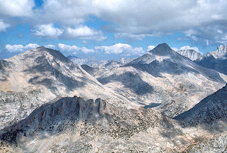
Mt. Hilgard, Mt. Gabb from Seven Gables summit
John Muir Wilderness 07 Sep 1976
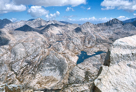
Bear Lakes (upper left), Vee Lake (lower right) from Seven Gables summit
John Muir Wilderness 07 Sep 1976
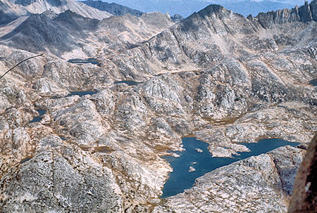
Bear Lakes (upper left), Vee Lake (lower right) from Seven Gables summit
John Muir Wilderness 07 Sep 1976
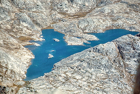
Vee Lake from Seven Gables summit
John Muir Wilderness 07 Sep 1976
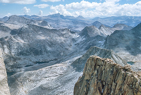
Gable Lakes, Humphrey Basin from Seven Gables summit
John Muir Wilderness 07 Sep 1976
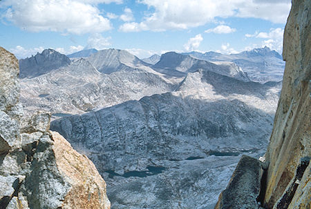
Gable Lakes, Mt. Humphrey from Seven Gables summit
John Muir Wilderness 07 Sep 1976
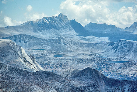
Mt. Humphrey, 'L' Lake from Seven Gables summit
John Muir Wilderness 07 Sep 1976
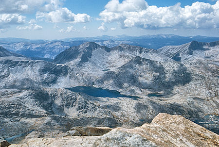
Three Island Lake, Senger Peak from Seven Gables summit
John Muir Wilderness 07 Sep 1976
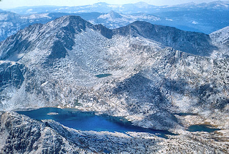
Three Island Lake, Senger Peak from Seven Gables summit
John Muir Wilderness 07 Sep 1976
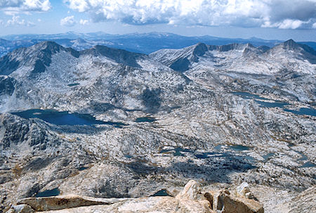
Mt. Senger, Mt. Hooper, Three Island lake, Marie Lake from Seven Gables
summit - John Muir Wilderness 07 Sep 1976
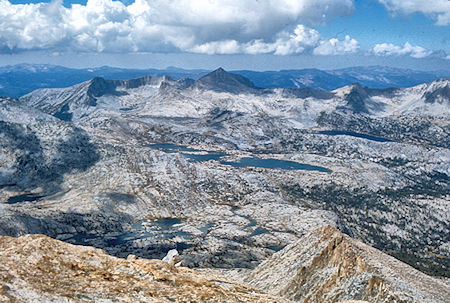
Senger Pass, Mt. Hooper, Marie Lake, Rose Lake from Seven Gables
summit - John Muir Wilderness 07 Sep 1976
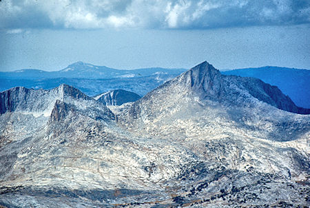
Mt. Hooper from Seven Gables summit
John Muir Wilderness 07 Sep 1976
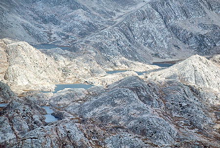
'Bear Lakes' from 'North Gable' summit
John Muir Wilderness 07 Sep 1976
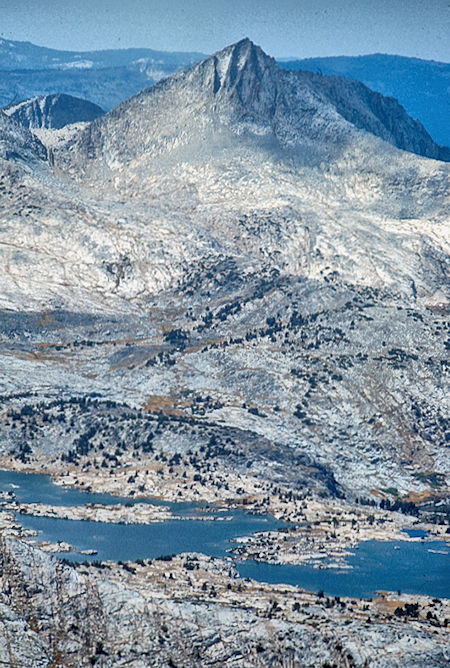
Mt. Hooper and Marie Lake from Seven Gables summit
John Muir Wilderness 07 Sep 1976
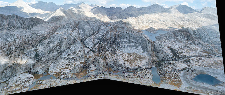
'Bear Lakes', Vee Lake, Royce Peak from 'North Gable' summit - John Muir Wilderness 07 Sep 1976
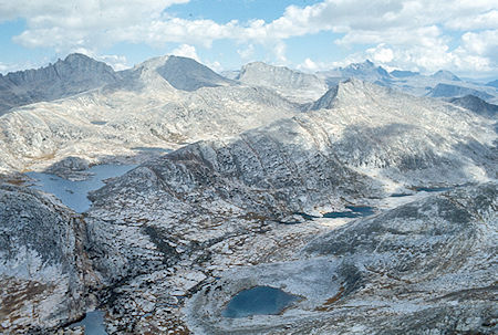
Vee Lake, Gable Lakes, Mt. Humphrey from 'North Gable' summit
John Muir Wilderness 07 Sep 1976
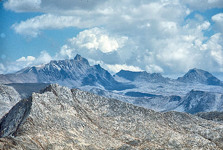
Mt. Humphrey from 'North Gable' summit
John Muir Wilderness 07 Sep 1976
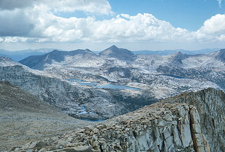
Marie Lake, Mt. Hooper from 'North Gable' summit
John Muir Wilderness 07 Sep 1976
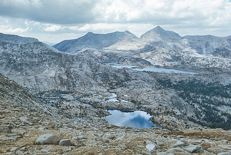
Sandpiper Lake, Marie Lakes and Mt. Hooper from slope descending
Seven Gables - John Muir Wilderness 07 Sep 1976
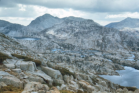
Three Island Lake, Mt. Senger from slope descending Seven Gables
John Muir Wilderness 07 Sep 1976
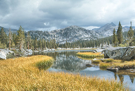
Lou Beverly Lake
John Muir Wilderness 07 Sep 1976
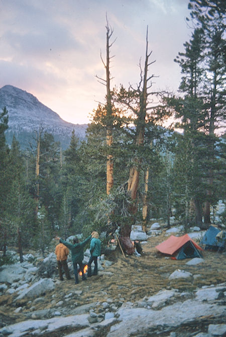
Sunset over Lou Beverly Lake camp
John Muir Wilderness 07 Sep 1976
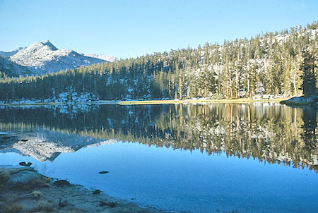
Lou Beverly Lake
John Muir Wilderness 08 Sep 1976
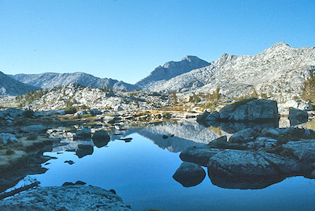
Sandpiper Lake, Senger Peak
John Muir Wilderness - 08 Sep 1976
Wednesday, September 8, 1976 we awoke to a clear sky so headed on the original route to Pendant Lake. The climb to the saddle northeast of Mt. Senger was easy, as was the steady climb to about 11,800 near Upper Turret Lakes. First Gil and Marty, and later Don and Randy climbed easy Turret Peak for great views of the San Joaquin River. However, clouds were moving in and it looked like rain so we quickly headed for camp at Pendant Lake. We only had a few sprinkles as the mini-storms passed us on both sides. We met a solo hiker camped between Big Chief and Pendant Lake but hurried on to camp. (9 miles) The evening was uneventful as the weather cleared.
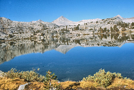
Sandpiper Lake, Mt. Hooper
John Muir Wilderness 08 Sep 1976
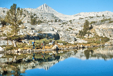
Sandpiper Lake, Mt. Hooper
John Muir Wilderness 08 Sep 1976
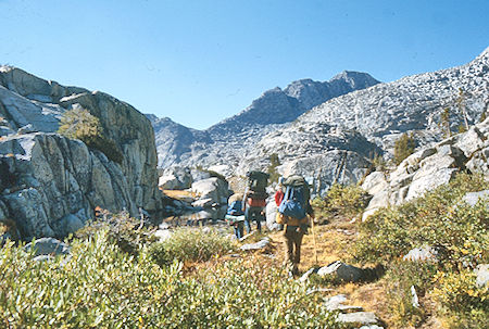
Enroute to 'Senger Saddle'
John Muir Wilderness 08 Sep 1976
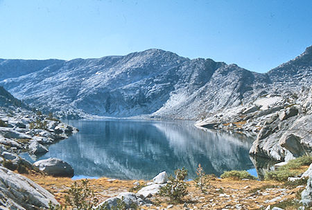
Three Island Lake, 'Senger Saddle'
John Muir Wilderness 08 Sep 1976
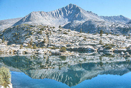
Seven Gables over Three Island Lake
John Muir Wilderness 08 Sep 1976
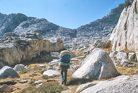
Approach to 'Senger Saddle'
John Muir Wilderness 08 Sep 1976
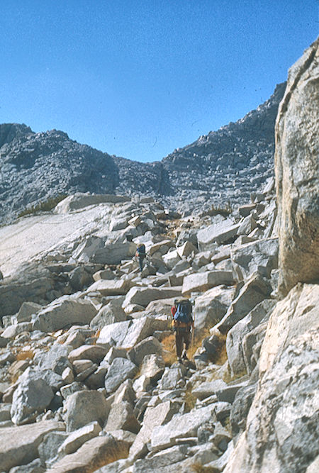
Approach to 'Senger Saddle'
John Muir Wilderness 08 Sep 1976
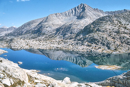
Three Island Lake, Seven Gables from near 'Selden Saddle'
John Muir Wilderness 08 Sep 1976
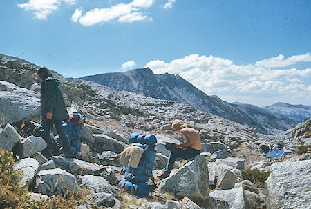
'Senger Saddle', Turret Peak
John Muir Wilderness 08 Sep 1976
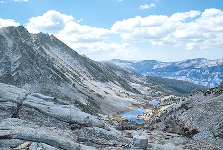
Senger Creek lakes, Turret Peak
John Muir Wilderness 08 Sep 1976
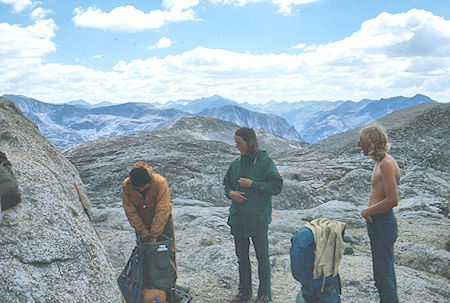
Lunch near Turret Peak, Gil Beilke, Marty Nicholas, Randy Stevenson
John Muir Wilderness 08 Sep 1976
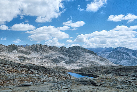
The Pinnacles and Upper Turret Lake
John Muir Wilderness 08 Sep 1976
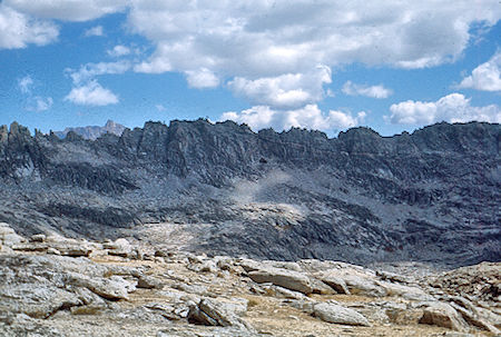
Mt. Humphrey (left rear), The Pinnacles from near Turret Peak
John Muir Wilderness 08 Sep 1976
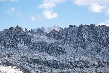
Mt. Humphrey (rear), The Pinnacles from near Turret Peak
John Muir Wilderness 08 Sep 1976
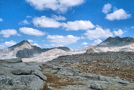
Seven Gables and Gemini from near Turret Peak
John Muir Wilderness 08 Sep 1976
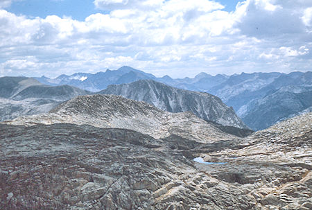
Mt. Goddard (skyline), Goddard Canyon (right) from near Turret Peak
John Muir Wilderness 08 Sep 1976
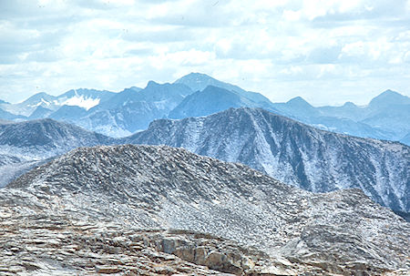
Mt. Goddard (center rear) and Mt. Reinstein (right edge) from near
Turret Peak - John Muir Wilderness 08 Sep 1976
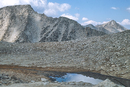
Mt. Senger (left) and Mt. Hooper (right) from near Turret Peak
John Muir Wilderness 08 Sep 1976
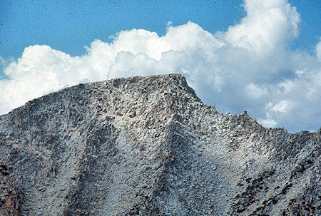
Mt. Senger from near Turret Peak
John Muir Wilderness 08 Sep 1976
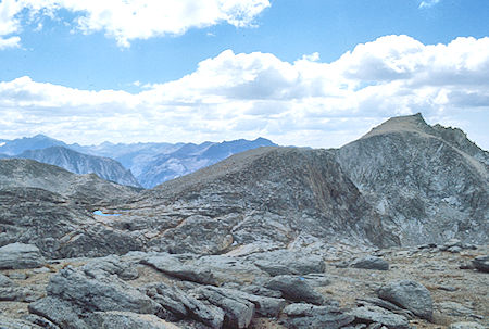
Turret Peak (right)
John Muir Wilderness 08 Sep 1976
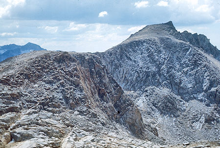
Turret Peak (right)
John Muir Wilderness 08 Sep 1976
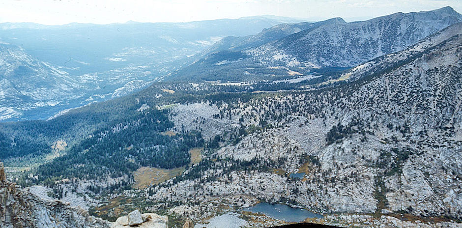
Blaney Meadows, San Joaquin River, Senger Creek (bottom), Sallie Keyes Lakes area, Mt. Hooper (top right) from Turret Peak
John Muir Wilderness 08 Sep 1976
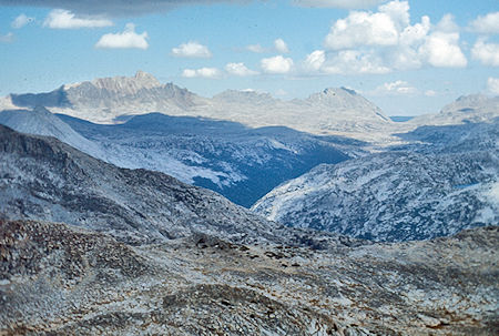
Mt. Humphrey, Mt. Emerson, Piute Pass, Piute Creek Canyon from
Turret Peak - John Muir Wilderness 08 Sep 1976
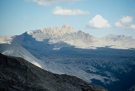
Mt. Humphrey from Turret Peak
John Muir Wilderness 08 Sep 1976
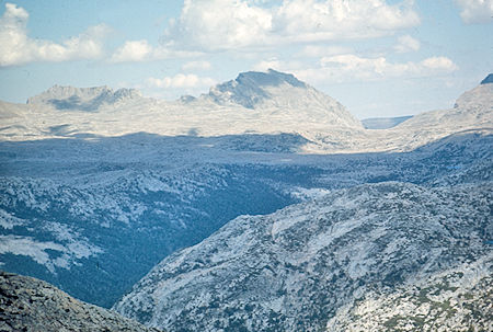
Mt. Emerson, Piute Pass, Piute Creek Canyon from Turret Peak
John Muir Wilderness 08 Sep 1976
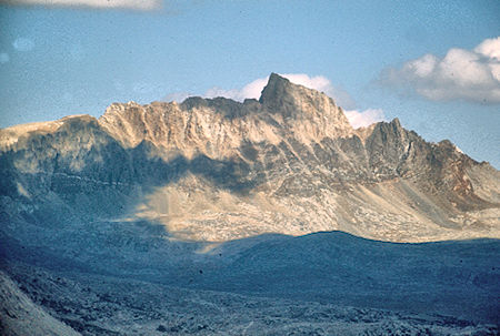
Mt. Humphrey from Turret Peak
John Muir Wilderness 08 Sep 1976
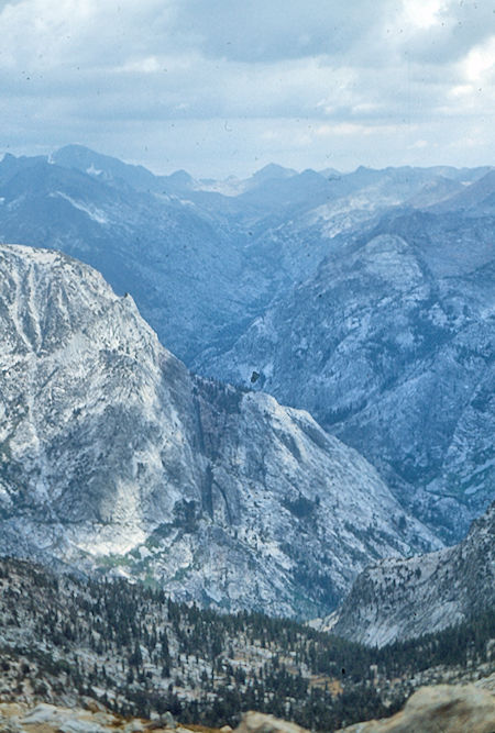
Pavilion Dome (foreground), Mt. Goddard (left skyline),
Mt. Reinstein (center skyline), Goddard Canyon from
Turret Peak - John Muir Wilderness 08 Sep 1976
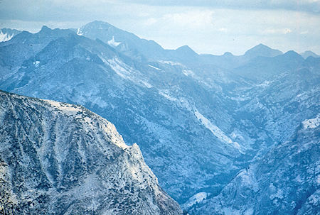
Pavilion Dome (foreground), Mt. Goddard (left skyline),
Mt. Reinstein (right Skyline), Goddard Canyon from Turret Peak
John Muir Wilderness 08 Sep 1976
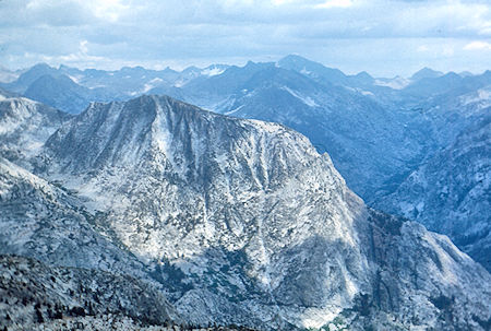
Pavilion Dome (foreground), Mt. Goddard (right skyline) and
Goddard Canyon from Turret Peak - John Muir Wilderness 08 Sep 1976
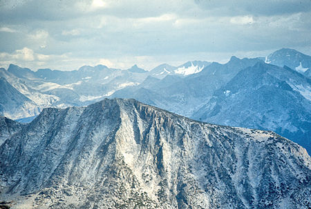
Pavilion Dome (foreground), Black Giant (skyline) and Mt. Goddard
(right skyline) from Turret Peak - John Muir Wilderness 08 Sep 1976
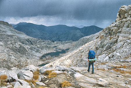
Big Chief Lake
John Muir Wilderness 08 Sep 1976
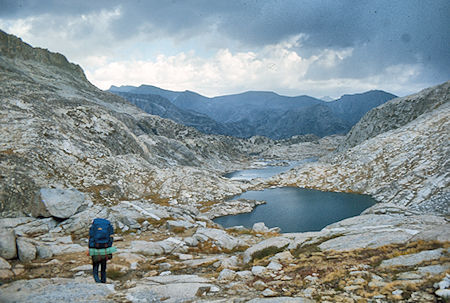
Old Squaw and Big Chief Lakes
John Muir Wilderness 08 Sep 1976
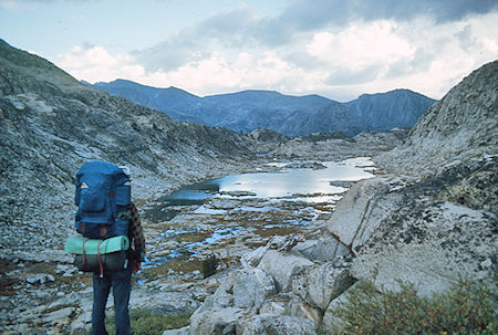
Big Chief Lake
John Muir Wilderness 08 Sep 1976
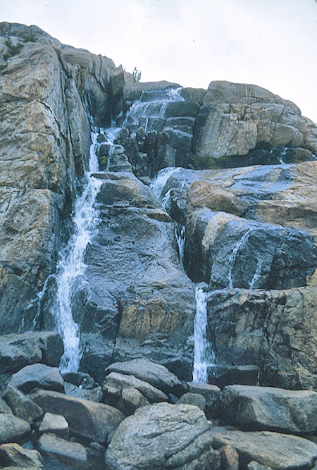
Cascade above Big Chief Lake
John Muir Wilderness 08 Sep 1976
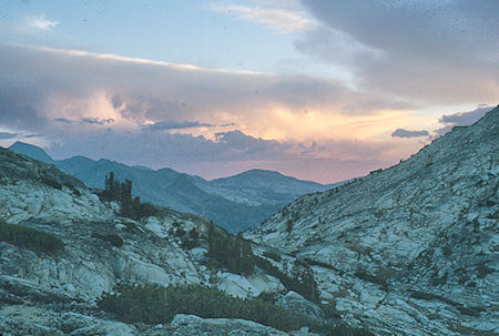
Sunset near Pendant Lake
John Muir Wilderness 08 Sep 1976 (Gil Beilke Photo)
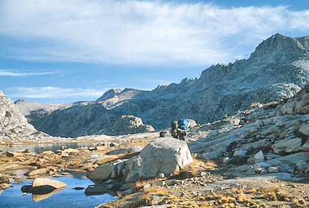
The Pinnacles from Pendant Lake
John Muir Wilderness 9 Sep 1976
Thursday morning, September 9, 1976 was mostly clear as we headed around the end of the Pinnacles to East Pinnacle Creek, arriving about 10 a.m. We left our packs and Gil, Marty and Randy headed for Gemini Peak while I took a more leisurely stroll among the lakes. They made the peak about 12:45 and stayed until about 2 p.m. Several routes were possible including a 2nd class and 3rd class. I sat at Aweetasal Lake and waited for them to come down, then we proceeded back to our packs, arriving about 3 or 4 p.m. We then headed down across the slope above Hutchinson Meadow to the French Canyon trail which we hit about 4:45. We then hiked up the trail to Merriam Lake creek to camp - a bit late in the day. The threatening rain never fell but the clouds persisted. (9.5 miles).
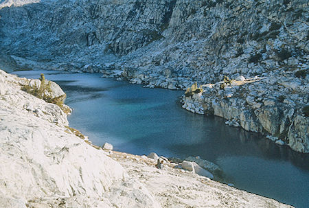
Spearpoint Lake
John Muir Wilderness 9 Sep 1976
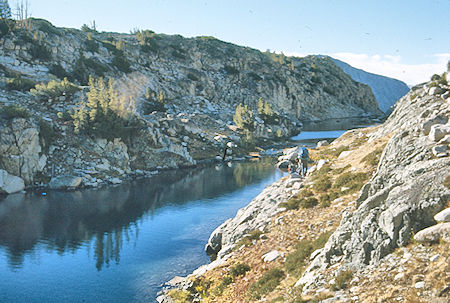
Spearpoint Lake
John Muir Wilderness 9 Sep 1976
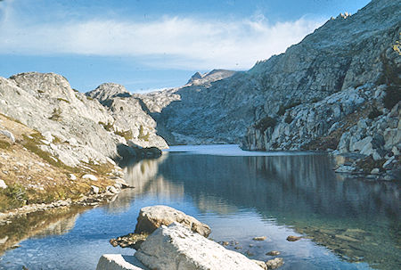
Spearpoint Lake
John Muir Wilderness 9 Sep 1976
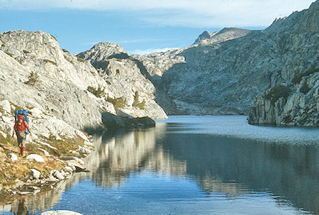
Don Deck at Spearpoint Lake
John Muir Wilderness 9 Sep 1976 (Gil Beilke Photo)
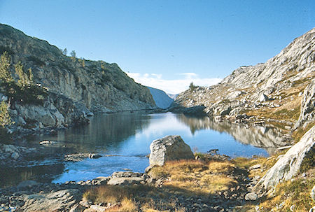
Spearpoint Lake
John Muir Wilderness 9 Sep 1976
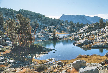
Pemmican Lake
John Muir Wilderness 09 Sep 1976
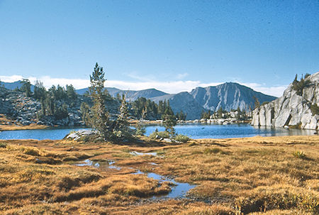
Pemmican Lake
John Muir Wilderness 09 Sep 1976
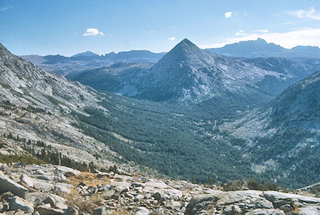
Pilot Knob, Mt. Humphrey (rear right), Hutchinson Meadow, French
Canyon (left), Piute Canyon (right) - >John Muir Wilderness 09 Sep 1976
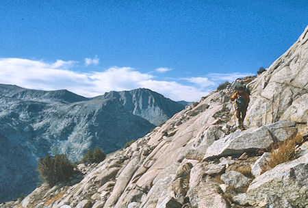
Route around end of The Pinnacles
John Muir Wilderness 09 Sep 1976
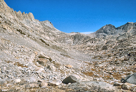
East Pinnacle Creek basin
John Muir Trail 09 Sep 1976
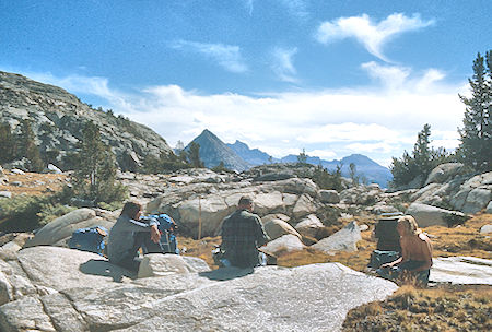
Lunch on East Pinnacle Creek, Pilot Knob, Mt. Humphrey (rear)
John Muir Wilderness 09 Sep 1976
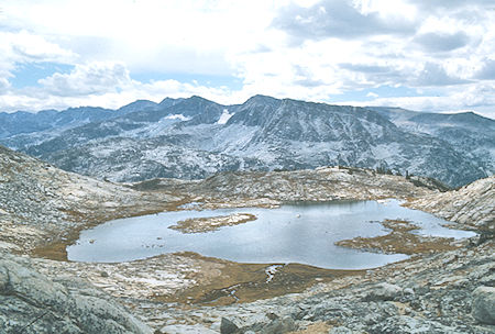
Big Moccasin Lake
John Muir Wilderness 09 Sep 1976
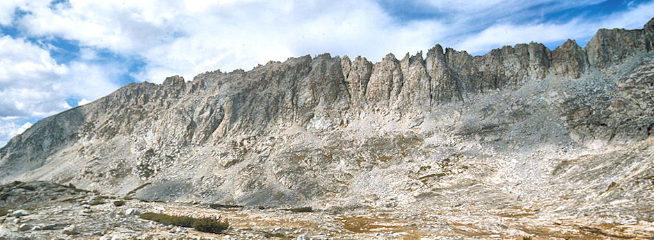
The Pinnacles and East Pinnacle Creek from the east - John Muir Wilderness 09 Sep 1976
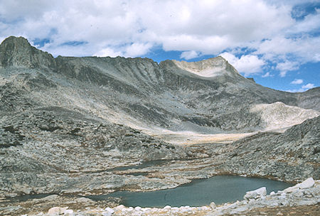
The Pinnacles (left) and Gemini (right), East Pinnacles Creek,
Jawbone Lake - John Muir Wilderness 9 Sep 1976
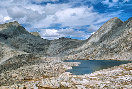
Gemini (left), Jawbone Lake
John Muir Wilderness 9 Sep 1976
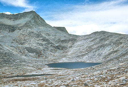
Gemini over Aweetasal Lake
John Muir Wilderness 9 Sep 1976
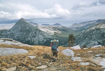
Gil Beilke, Pilot Knob, Mt. Humphrey (rear), Mt. Emerson, Piute Pass,
Piute Canyon from East Pinnacle Creek - John Muir Wilderness 9 Sep 1976
We decided to go out on Friday. Friday morning, September 10, 1975 it was misting at 6 a.m. when we got up and by 7 a.m. when we left it was raining lightly. The rain picked up as a general storm came to life as we hiked out over Pine Creek Pass to the cars. Took 1.5 hours to the pass and 2.8 hours more to the road head for me. The rest did it in about 20 minutes less. (10 miles). Gil and I took his car to McGee Creek for my car - Gil headed home after getting a shower at my place. I picked up Marty and Randy, and we stopped at the Sizzler in Bishop for steak lunch, then headed home. The trip was nice except we could have done without the rain. Even so, it was warm, no really cold weather, and I think all had a good time. (99 miles)