On May 28-31, 1971 a group of 39 people from Explorer Post 360 attempted to climb 12,590' Mount Conness. We had to abort the climb due to stormy weather. I returned on a solo trip May 27-30, 1972 and climbed Mount Conness on May 28, 1972.
On the May 28-31, 1971 trip there was still snow on the ground at Tuolumne Meadows. We took a vote on whether to go to Young Lakes for a try at Conness or to go to Glen Aulin - Young Lakes won by one vote.
We ran into heavy snow about a mile and a half from Young Lakes and it started snowing about a mile from the lakes. After some hassle we left a group of four or five adults to camp about a mile from Young Lakes and got myself and all the boys to Young Lakes through a spring blizzard with the help of the stronger members.
There was 3-4 feet of snow at Young Lakes and the lakes were frozen. We made camp okay and the weather cleared for supper. Newer members had somewhat of a hassle but all survived okay.
Sunday we made an attempt on Mount Conness but a storm moved in after we were about half way up and we had to return to camp. It snowed "corn" but was not too cold and uncomfortable. Karl Kohagen read a book to us while we waited out the storm.
Monday morning at 6 a.m. it was 14°. We broke camp and picked up the adults on the way out after a nice camp - some spectacular weather - and a real experience for some.
On the May 27-30, 1972 trip I hiked in to Young Lakes and found heavy snow above 9600'. The lakes were frozen except around edge and at outlet. Some bare ground. Weather was warm and the snow was melting fast.
On May 28, I headed for Mount Conness over firm snow. The last portion of the Conness "trail" is somewhat exposed in spots but not difficult - just have to be cautious. Not recommended if there is a lot of snow unless belays are used.
Great views of Yosemite, particularly Tuolumne Meadow, Lyell Fork, Cathedral Range, etc. Dropped my slide camera and wiped it out. With help of other climbers who had a rope, we recovered the pieces which my insurance covered. Great trip.
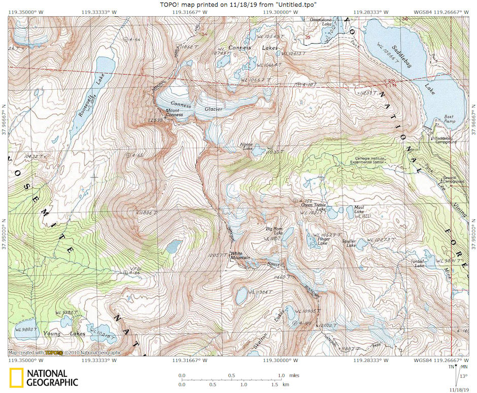
Mount Conness area map
Mount Conness is a 12,590 foot mountain in the Sierra Nevada range, to the west of the Hall Natural Area. Conness is on the boundary between the Inyo National Forest and Yosemite National Park. The Conness Glacier lies north of the summit.
The easiest route starts in Tuolumne Meadows about 8 miles west of Tioga Pass. Take the trail to Young Lakes. The route from Young Lakes to the summit plateau is class 2. There are also numerous technical routes.
Mount Conness is named for John Conness (1821–1909), a native of Ireland who came to the United States in 1836. Conness was a member of the California legislature (1853–1854, 1860–1861) and the United States Senator from California (1863–1869). He resided in Massachusetts from 1869 until his death in 1909.
In 1860 Josiah Dwight Whitney, Jr. was appointed State Geologist of California and he organized the California Geological Survey (1863–1870). Whitney, along with William H. Brewer, Clarence King, James T. Gardiner, Charles F. Hoffmann, Lorenzo G. Yates, Richard D. Cotter and others, made an extensive survey of California, including the Sierra Nevada and Yosemite region. Whitney wrote:
"Mount Conness bears the name of a distinguished citizen of California, now a United States Senator, who deserves more than any other person, the credit of carrying the bill, organizing the Geological Survey of California, through the Legislature, and who is chiefly to be credited for another great scientific work, the Survey of the 40th Parallel."Clarence King, a geologist for the Survey and the first to ascend Mount Conness along with James T. Gardiner in 1864, wrote:
"I recognized the old familiar summit... and that firm peak with titan strength and brow so square and solid, it seems altogether natural we should have named it for California’s statesman, John Conness."
The summit block consists of class 2 scrambling along a knife edge ridge leading to the summit consisting of views to the east of the Conness Glacier and to the west toward Tuolumne Meadows. When I was there in 1972 it appeared that a trail had been constructed to the summit.
Mount Conness is the highest peak in Sierra Nevada north of Tioga Pass Road (Highway 120). It is a prominent peak on the eastern boundary of Yosemite National Park, whose vertical southwest wall (one of the best spots for big wall climbing in the Tuolumne Meadows area) is visible from many points on Tioga Pass Road (Hwy-120).
On the Sierra Nevada crestline, Mount Conness is the first high ridge at the head of the vast and low Tuolumne basin, a position that bears the brunt of winter snow storms. Hence it has the second largest glacier in Yosemite after Mount Lyell, and the entire area retains much snow for most of the summer.
Northeast of Mount Conness is the enchanting Twenty Lakes Basin fed by its glacier. Accessed by the high trailhead of Saddlebag Lake (10060 feet), the basin is popular for fishing, and allows short, easy approaches to the Conness crest peaks.
The following pictures are a combination from the two trips. Unfortunately pictures by me from the summit do not exist since I dropped and broke my camera. I've included some taken by my friend Gil Beilke when he climbed the peak.
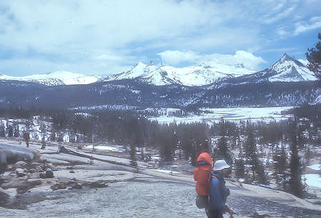
Cathedral Range and Tuolulmne Meadow - Yosemite National Park 27 May 1971
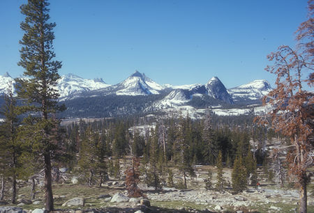
Cathedral Range on the way to Young Lake - Yosemite National Park 27 May 1972
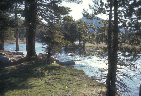
Spring runoff in Tuolumne Meadow - Yosemite National Park 27 May 1972
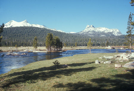
Spring runoff in Tuolumne Meadow - Yosemite National Park 27 May 1972
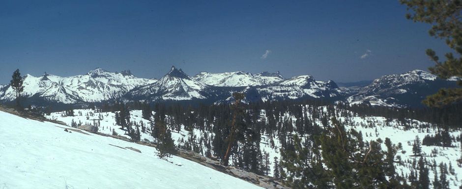
Cathedral Range from the way to Young Lakes - Yosemite National Park 27 May 1972
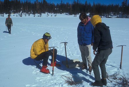
Fishing hole in Young Lake - Yosemite National Park 30 May 1971
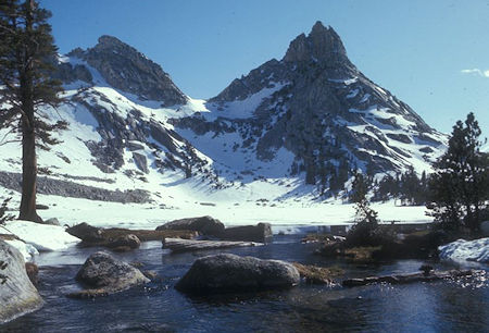
Ragged Peak from Young Lake outlet - Yosemite National Park 27 May 1972
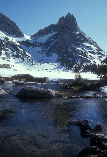
Ragged Peak from Young Lake outlet - Yosemite National Park 27May 1972
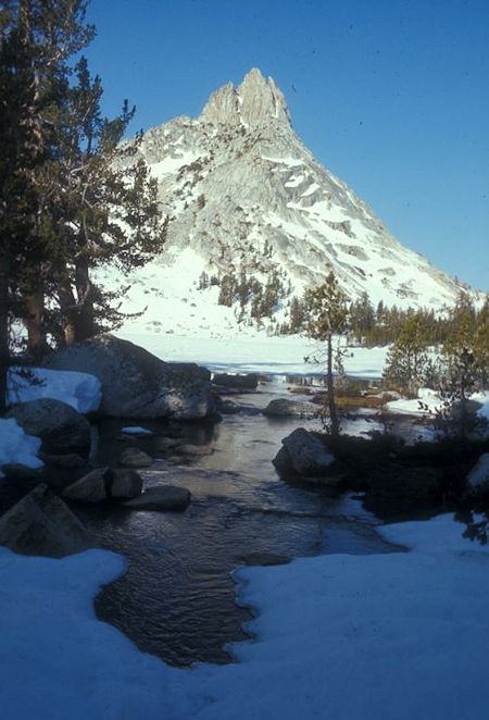
Ragged Peak from Young Lake outlet - Yosemite National Park 27 May 1972
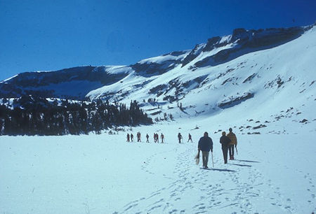
Explorer Post 360 heading across frozen Young Lake to climb Mount Conness
Yosemite National Park 30 May 1971
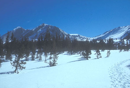
Mount Conness (left center), North Peak (rear left) from near Young Lake
Yosemite National Park 30 May 1971
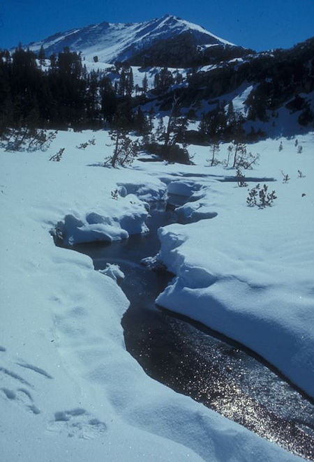
Enroute to Mount Conness - Yosemite National Park 30 May 1971
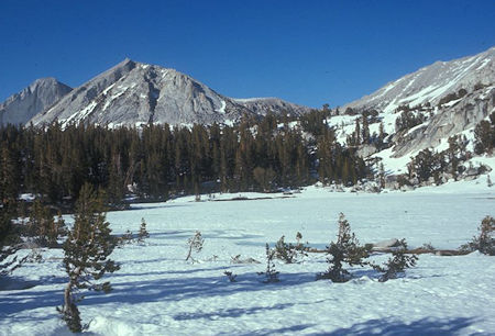
Mount Conness from frozen middle Young Lake with North Peak in rear
Yosemite National Park 27 May 1972
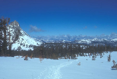
Looking back at Ragged Peak on way to Mount Conness
Yosemite National Park 30 May 1971
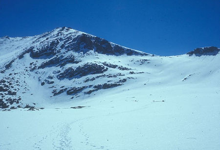
High slope on way to Mount Conness - Yosemite National Park 30 May 1971
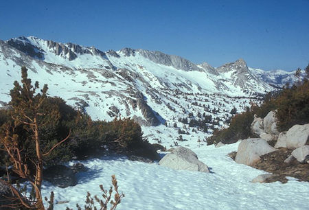
Looking back toward Ragged Peak (right) and Young Lakes
from Mount Conness route - Yosemite National Park 27 May 1972
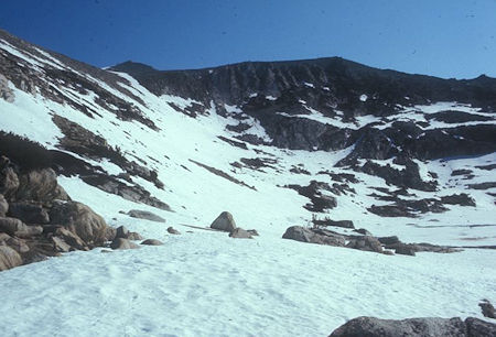
Looking forward to steep slope on route to Mount Conness
Yosemite National Park 27 May 1972
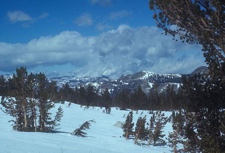
Clouds starting to build from route to Mount Conness
Yosemite National Park 30 May 1971
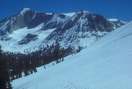
Looking back on Mount Conness route - Yosemite National Park 31 May 1971
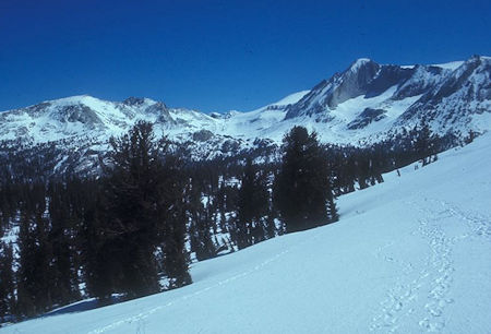
Looking toward Roosevelt Lake on Mount Conness route
Yosemite National Park 31 May 1971
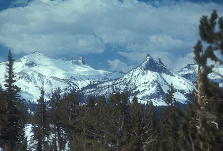
Cathedral Peak (left) and Unicorn Peak (right) from Mount Conness route
Yosemite National Park 31 May 1971
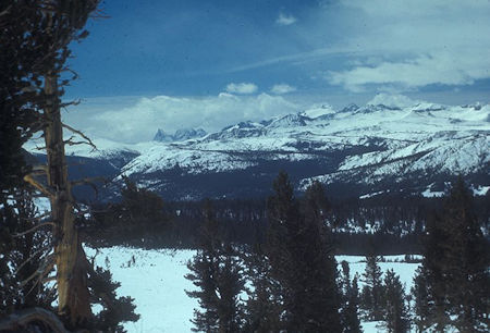
View toward Banner Peak, Mt. Ritter and Mt. Lyell from Mount Conness route
Yosemite National Park 31 May 1971
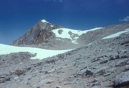
Mount Conness from route near ridge - Yosemite National Park 28 May 1972
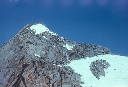
Mount Conness and ridge from route up - Yosemite National Park 28 May 1972
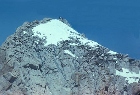
Nearing Mount Conness summit from route up
note other party on summit - Yosemite National Park 28 May 1972
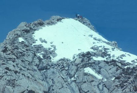
Nearing Mount Conness summit from route up
note other party on summit - Yosemite National Park 28 May 1972
My camera got dropped and damaged at this point so I am including some pictures taken by Gil Beilke about a month after my trip.
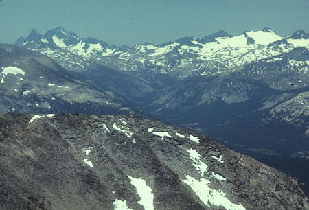
Banner Peak, Mt. Ritter, Mt. Lyell and glacier from top of Mount Conness
Gil Beilke photo - Yosemite National Park 02 Jul 1972
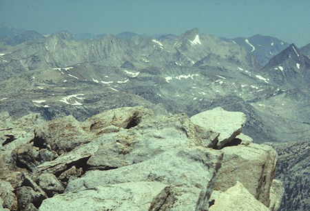
Matterhorn Peak from top of Mount Conness
Gil Beilke photo - Yosemite National Park 02 Jul 1972
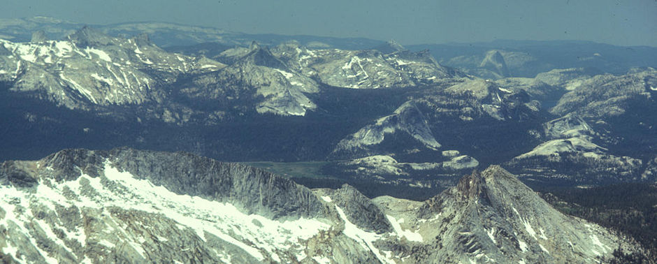
Cathedral Range, Tuolumne Meadow, Clouds Rest, Half Dome, Tenaya Lake from top of Mount Conness - Gil Beilke photo - Yosemite National Park 02 Jul 1972
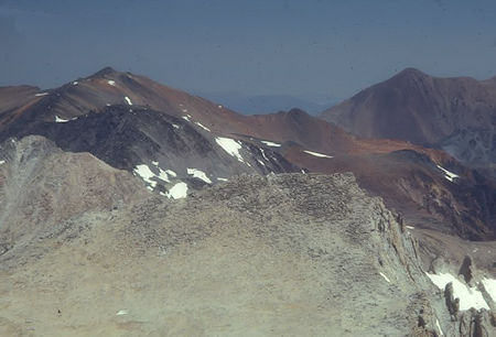
Mt. Dana (I think) from top of Mount Conness
Gil Beilke photo - Yosemite National Park 02 Jul 1972