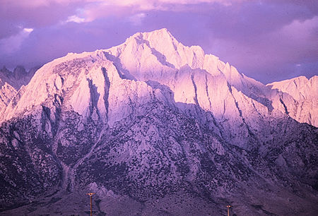
Lone Pine Peak from the Alabama Hills near the town of Lone Pine - 26 Sep 1970
On June 18, 1961 I climbed 12,944' Lone Pine Peak with a Sierra Club group of myself, Allan Van Norman, Mike and Ann O'Haver, Ann Culver, Mary Peters, Bill and Topper Thomas, Lew and Robin Beachamp, Dick Cochran, Bob Cook, Roland Ratcliff, John Hooper, Ed Little, (Jim Moore)(Eric Beck, Vic Hett, Dick Sheffield climbed Mount Whitney).
Beautiful warm weather. Easy class 2 route from about 10,900' between the two Meysan Lakes up a chute to ridge then easy walk to summit. Three hours up - 1 1/2 hours down. Good view of Mount Whitney, Mt. Langley, Mt. LeConte and others. There is also another class 2 route from Tuttle Creek and numerous technical climbing routes.
Part of party climbed Candlelight Peak instead. No water on trail after start until reaching almost Lower Meysan Lake.
When white settlers started moving into the Owens Valley in the mid-1800's a solitary pine tree was found growing at the confluence of what would be named Tuttle and Lone Pine Creeks. The name of the neighboring town and nearby geographical features took their name from this tree. Although the tree blew down in a storm in 1876 the name "Lone Pine" remains.
This massive peak dominates the skyline west of Lone Pine. It appears larger and taller than Mts. Whitney, Russell and Langley, partly due to its bulk, and partly due to its location several miles east of the other, much higher peaks.
Though its summit does not quite reach 13,000 feet, it is nevertheless a very impressive mountain. Three spectacular ridges sweep up nearly 7,000 feet from the desert floor to the summit; the East Ridge, Northeast Ridge and North Ridge. The mile-wide South Face is the highest wall (3,000 feet) in the Sierra outside of Yosemite Valley. The scale is such that the 2,000 foot-high Bastille Buttress almost disappears as a minor rib on the vast North Ridge. There are many spectacular and unclimbed lines to be found on Lone Pine Peak.
The ubiquitous Norman Clyde is credited with the first ascent in 1925 via the southeast slopes, although this does not preclude the possibility that a Native American might have wandered up centuries, if not millennia, earlier.
The summit offers magnificent views of the entire Mt. Whitney region, and is accessible to the average hiker willing to toil up a couple thousand feet of scree on the west side. Due to its proximity to Whiney Portal and the network of dirt roads along the desert's edge, Lone Pine Peak offers many opportunities to do a day climb at almost any level of difficulty one might desire. Those who are interested in a more relaxed pace will find plenty of campsites near lovely lakes and meadows in the Meysan Creek basin.
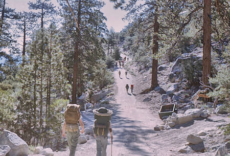
Heading out on the Mesan Lake Basin trail - Jun 1963
All sensible approaches to the peak begin in the town of Lone Pine on US 395. Hikers will access the mountain via the Meysan Lakes trail, which leaves from the Whitney Portal area. Climbers angling for one of the South Face routes, or hankering for a trip from the desert floor via one of the long ridges will use a slightly different approach.
To reach the Meysan Lakes trail take Whitney Portal Road west from town about 11 miles to the signed parking area on the south side of the road. In the unlikely event that there is no roadside parking, ample overnight parking can be found at the end of the road where the main Whitney trail begins. Of course, parking there means you will add about a mile to your hike in and out.
From the signed parking area, walk down a short gated road into the campground. Take the first left upon entering the campground, cross a small bridge over Lone Pine Creek, and head left again at a "T" interesection. Follow the narrow road east a few hundred yards as it slowly climbs into an area of small cabins. The road eventually terminates in a loop. Take either branch. The trail starts at the top of the loop, just a few yards east of a hairpin turn at the west end of the loop. It's about a ten minute walk from Whitney Portal Road to the trail.
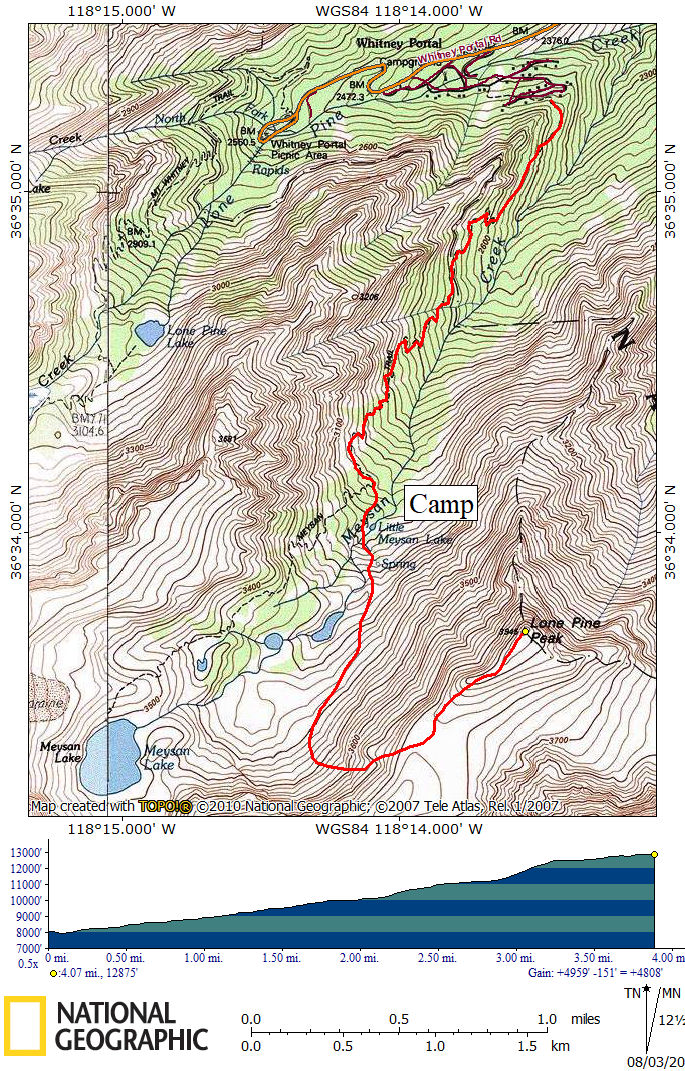
Lone Pine Peak Route Map - Approximate Route in RED
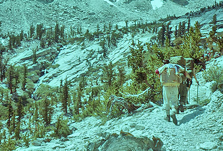
On the trail along Meysan Creek - Jun 1961
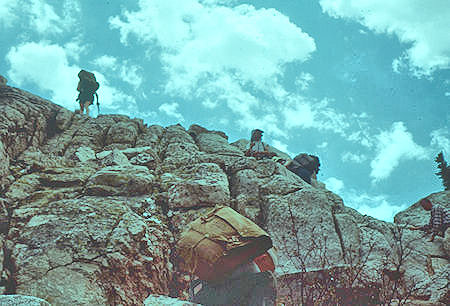
Climbing up the slope below Little Meysan Lake - Jun 1961
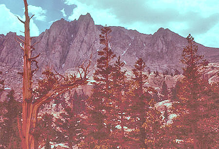
Mt. Mallory from camp at Little Meysan Lake - Jun 1961
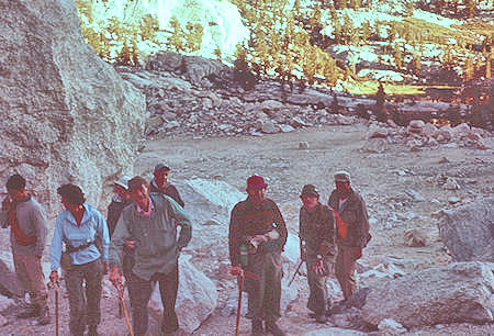
Ready to go on the climb up Lone Pine Peak - Jun 1961
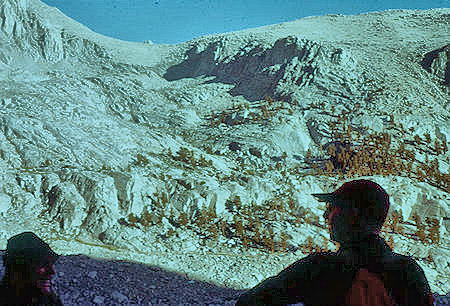
Looking across at the route up Candlelight Mountain
from the route up Lone Pine Peak - Jun 1961
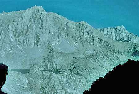
Mt. Irvine (left) over Meysan Lake and Mount Whitney (right rear)
from chute going up Lone Pine Peak - Jun 1961
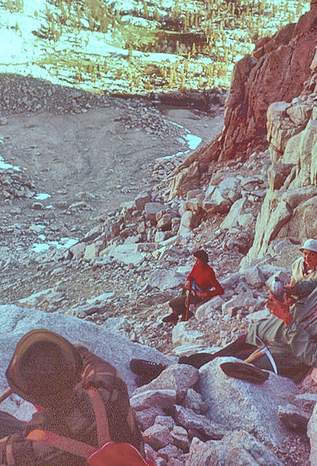
Looking down on camp from the chute going up Lone Pine Peak - Jun 1961
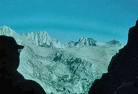
Mount Whitney (left) and Mt. Russell (right)
from the chute going up Lone Pine Peak - Jun 1961
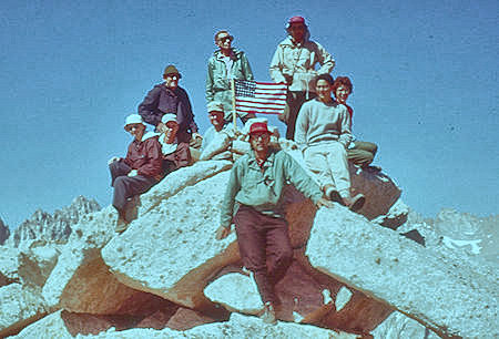
The whole party on top of Lone Pine Peak - Jun 1961
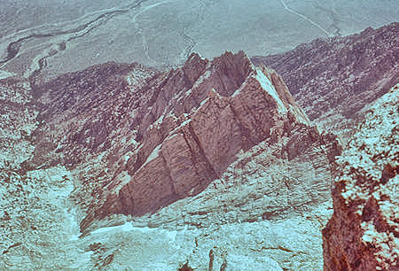
Inyo Creek and northwest ridge from top of Lone Pine Peak - Jun 1961
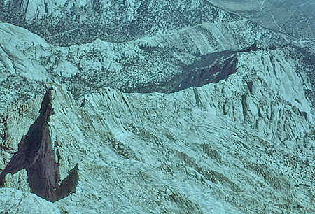
Fifth class ridge route from top of Lone Pine Peak
Whitney Portal road on far slope - Jun 1961
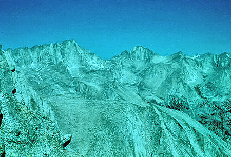
Mount Whitney, Mt. Russell, Pinnacle Ridge on skyline;
Candlelight Peak in foreground from top of Lone Pine Peak - Jun 1961
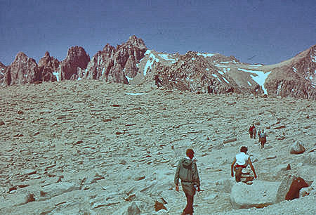
Heading down the plateau on Lone Pine Peak - Mt. Corcoran and Mt. LeConte - Jun 1961
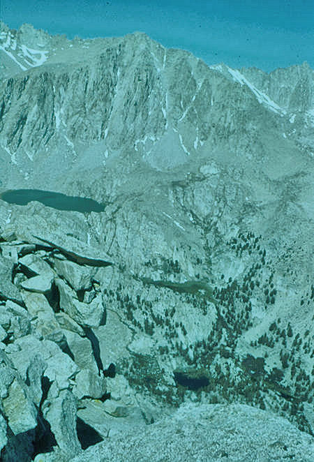
Mt. Irvine, Mount Whitney over Meysan Lake and Little Meysan Lake
from top of Lone Pine Peak - Jun 1961
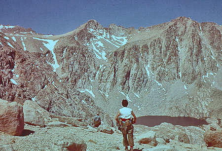
Mt. Mallory, Mt. Irvine and Meysan Lake from Lone Pine Peak ridge - Jun 1961
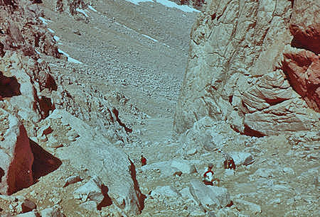
Descending the chute from Lone Pine Peak ridge - Jun 1961
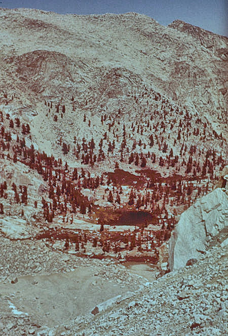
Camp at Little Meysan Lake, Candlelight Peak
from chute descending Lone Pine Peak - Jun 1961
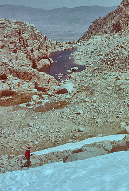
Small lake below camp - Lone Pine Peak - Jun 1961