On August 13-September 4, 1960 I backpacked from North Lake to Mount Whitney on the John Muir Trail as part of four linked trips covering 162 miles, 8 passes and 3 peak climbs.
The first week of this three week trip was on assignment for the San Diego County Council, Boy Scouts of America as trek guide. The second two weeks were my vacation. This was my first visit to these portions of the John Muir Trail except Mount Whitney. I climbed Mt. Spencer for the first time (with the trek group), Mt. Sill for the first time (by myself), and Mt. Whitney for the second time (with the trek group).
The following were highlights of the trip: Piute Pass - Hutchinson Meadow, Evolution Valley, saw Echo satellite several times, Evolution Basin, Mt. Spencer and views, Muir Pass, LeConte Canyon, Glacier Creek & Mt. Sill, Palisades Glacier, Mather Pass and views across upper Basin, Pinchot Pass & Woods Creek, Rae Lakes, Glen Pass, Kearsarge Pass & lakes, Bubbs Creek, Forester Pass & Tyndall Creek, Bighorn Plateau, Mt. Whitney in hail storm, Trail Crest Pass.
August 13-19, 1960 with Explorer Post 360 (before I became its Advisor) and Explorer Post 500
On August 14, 1960 we backpacked from North Lake over Piute Pass to Golden Trout Lake.
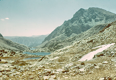
Piute Lake and Loch Leven - John Muir Wilderness 14 Aug 1960
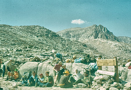
Piute Pass - John Muir Wilderness 14 Aug 1960
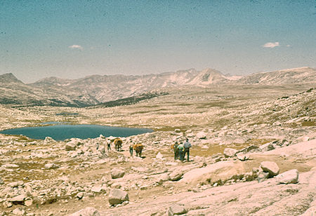
Summit Lake, Humphrey Basin, Piute Canyon - John Muir Wilderness 14 Aug 1960
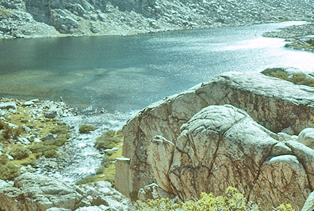
Golden Trout Lake - John Muir Wilderness 14 Aug 1960
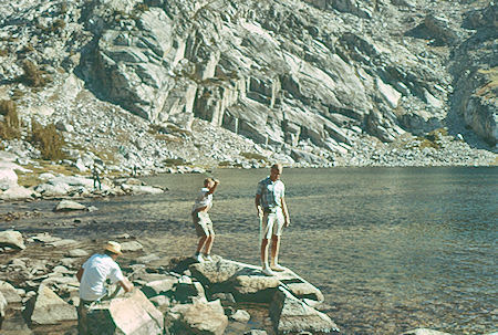
Fishing in Golden Trout Lake - John Muir Wilderness 14 Aug 1960
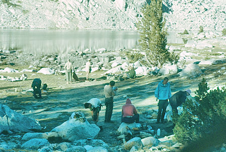
Camp at Golden Trout Lake - John Muir Wilderness 15 Aug 1960
On August 15, 1960 we continued from Golden Trout Lake down Piute Creek to the John Muir Trail on the San Joaquin River and on the camp at Aspen Meadow.
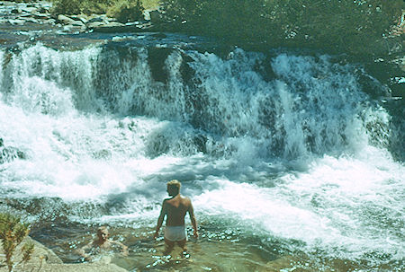
Swim in Piute Creek on the trail - John Muir Wilderness 15 Aug 1960
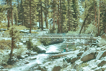
Bridge at Piute Creek trail junction - Kings Canyon National Park 15 Aug 1960
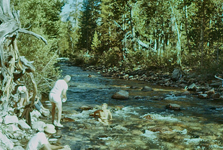
South Fork San Joaquin River at Aspen Meadow
Kings Canyon National Park 15 Aug 1960
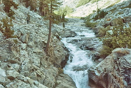
South Fork San Joaquin River above Aspen Meadow
Kings Canyon National Park 16 Aug 1960
On August 16, 1960 we continued on the John Muir Trail to Evolution Lake.
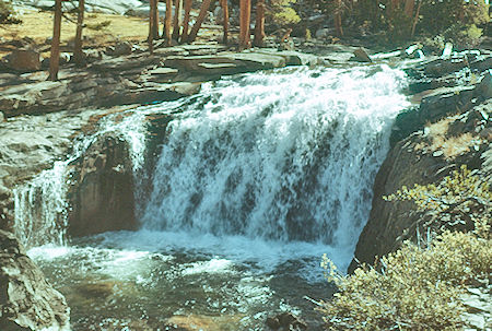
Waterfall on Evolution Creek - Kings Canyon National Park 16 Aug 1960
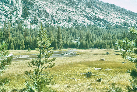
Evolution Meadow - Kings Canyon National Park 16 Aug 1960
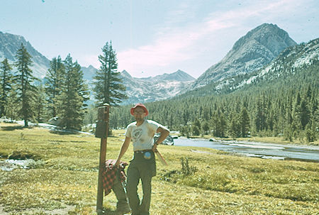
Don Deck at McClure Meadow, The Hermit - Kings Canyon National Park 16 Aug 1960
On August 17, 1960 we climbed Mt. Spencer. I also climbed it on August 24, 1964.
Mount Spencer is a 12,431' peak in the Sierra Nevada, in Kings Canyon National Park and Fresno County, California.
It is named for Herbert Spencer, an English philosopher and prominent scientist in the field of evolution who coined the term "survival of the fittest."
Other nearby mountains in the Evolution Group include Mount Darwin, Mount Mendel, Mount Fiske, Mount Haeckel, Mount Huxley, Mount Wallace, and Mount Lamarck. The area around the peaks, known as the Evolution Region, includes Evolution Basin and Evolution Valley.
Although it is not a very well known peak, it offers a picturesque view of Evolution Lake and the John Muir Trail.
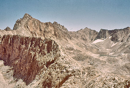
Mt. Haeckel from Mt. Spencer - Kings Canyon National Park 17 Aug 1960
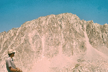
Mt. Darwinl from Mt. Spencer - Kings Canyon National Park 17 Aug 1960
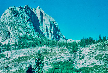
Ladder Creek - Kings Canyon National Park 19 Aug 1960
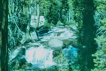
Near Palisade Creek below Deer Meadow - Kings Canyon National Park 19 Aug 1960
August 19-22, 1960 solo by myself
I climbed Mount Sill by the southwest slope from Lake 11,672 on 21 Aug 1960. I climbed it a second time on 25 Aug 1969.
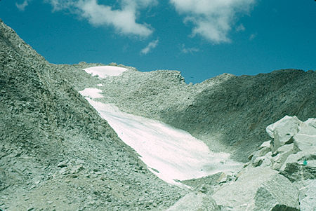
Glacier on Mount Sill - Kings Canyon National Park 21 Aug 1960
Mount Sill, 14,159', is one of the fourteeners of the Sierra Nevada. It is located in the Palisades, a group of striking rock peaks with a few small glaciers on their flanks.
Mount Sill is located 0.6 miles east of North Palisade, the high point of the group. The two peaks are connected by a high, rocky ridge, on the north side of which lies the Palisade Glacier.
Mount Sill lies on the main Sierra Crest, but is at a point where the crest turns sharply, giving it particularly striking summit views. On one side is Kings Canyon National Park and Fresno County; on the other is the John Muir Wilderness, Inyo National Forest and Inyo County.
Routes on Mount Sill are found on all sides of the peak and range in difficulty from scrambles (class 2-3) to a moderately technical rock climbs (class 5.7).
The first recorded ascent was in 1903 by Joseph LeConte, James Moffitt, James Hutchinson, and Robert Pike, who ascended the Southwest Slope. Mount Sill has attracted climbers since the earliest days of mountaineering in the Sierra, including such luminaries as Walter Starr Jr, John Mendenhall, and Norman Clyde. There are at least 10 established routes on the peak, ranging in difficulty from class 2/3 to 5.10. The classic route is the 1938 Swiss Arete, which ascends the rib above Glacier Notch.
The mountain is called Nen-i-mish ("the Guardian of the Valley") by the indigenous Northern Paiute people. Its English name was coined, in 1904, by Joseph LeConte, a noted mountaineer, in honor of American poet Edward Rowland Sill.
August 22-27, 1960 with Explorer Post 345, Explorer Post 803 and Explorer Post 8
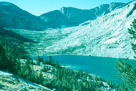
Middle Palisade, Upper Palisade Lake, Mather Pass
Kings Canyon National Park 24 Aug 1960
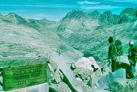
Palisade Lakes from Mather Pass - Kings Canyon National Park 24 Aug 1960
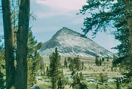
Above Bench Lake - Kings Canyon National Park 24 Aug 1960
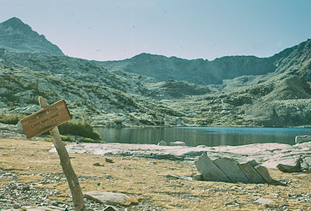
Lake Marjorie and Pinchot Pass - John Muir Trail - Kings Canyon National Park 25 Aug 1960
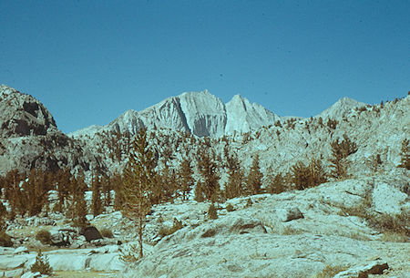
King Spur west of Rae Lakes - Kings Canyon National Park 25 Aug 1960
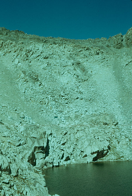
Looking back on Glen Pass - John Muir Trail - Kings Canyon National Park 25 Aug 1960
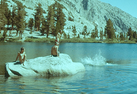
Swimming in Gilbert Lake - Kearsarge Pass Trail 27 Aug 1960
August 28-September 4, 1960 with Explorer Post 306, Squadron 805 and Explorer Post 668
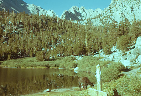
Gilbert Lake - Kearsarge Pass Trail 28 Aug 1960
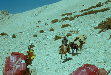
Pack Train descending from Kearsarge Pass - Kearsarge Pass Trail 28 Aug 1960
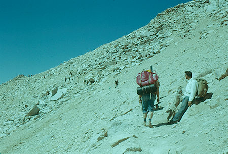
Approaching Kearsarge Pass - Kearsarge Pass Trail 28 Aug 1960
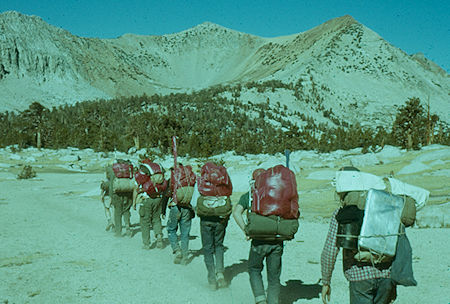
On the trail from Kearsarge Pass to Charlotte Junction
Kings Canyon National Park 29 Aug 1960
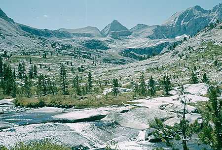
Junction Peak and Forester Peak from Bubbs Creek camp
Kings Canyon National Park 30 Aug 1960
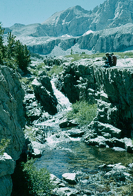
Fishing on Bubbs Creek - Kings Canyon National Park 30 Aug 1960
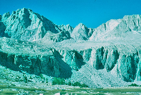
Kings-Kern Divide from Forester Pass trail - Kings Canyon National Park 31 Aug 1960
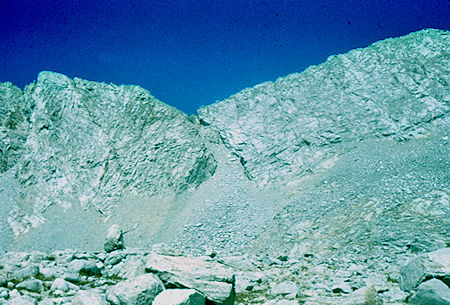
Looking back at Forester Pass - Sequois National Park 31 Aug 1969
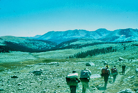
Tyndall Creek - Sequoia National Park 31 Aug 1960
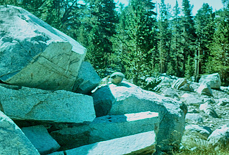
Marmot - Sequoia National Park 31 Aug 1960
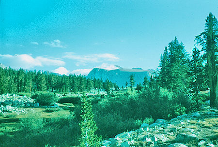
Looking back from Tyndall Creek - Sequoia National Park 01 Sep 1960
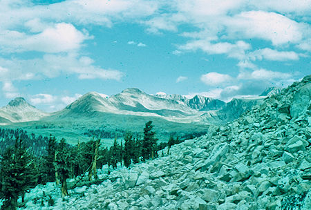
View from Bighorn Plateau trail - Sequoia National Park 01 Sep 1960
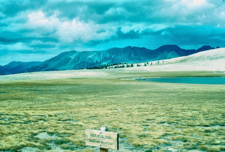
Bighorn Plateaul - Sequoia National Park 01 Sep 1960
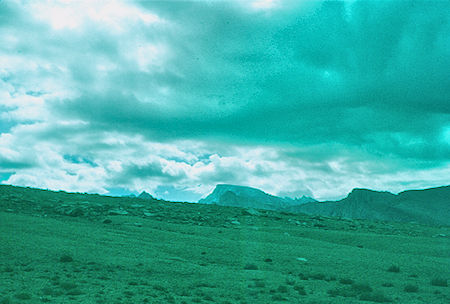
Mount Whitney from Bighorn Plateaul - Sequoia National Park 01 Sep 1960
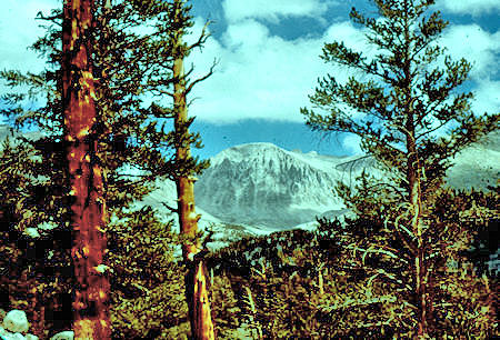
Mount Whitney from Crabtree Meadow trail - 01 Sep 1960
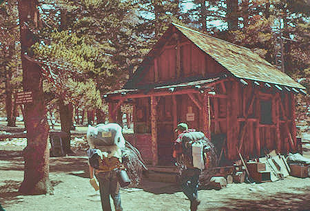
Crabtree Ranger Staton - 02 Sep 1960
We camped at ???
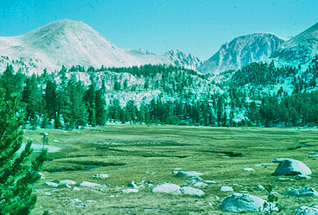
Crabtree Meadow - Sequoia National Park 02 Sep 1960
On September 3, 1960 we headed for the top of Mount Whitney.
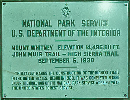
Plaque on top of Mount Whitney. Note: Actual elevation currently is listed as 14,505'
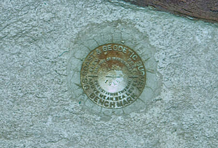
Geodetic survey bench mark
Mount Whitney is the tallest mountain in the contiguous United States and the Sierra Nevada, with an elevation of 14,505 feet. It is located in East–Central California, on the boundary between California's Inyo and Tulare counties, 84.6 miles west-northwest of the lowest point in North America at Badwater Basin in Death Valley National Park at 282 feet below sea level.
The west slope of the mountain is in Sequoia National Park and the summit is the southern terminus of the John Muir Trail which runs 211.9 mi from Happy Isles in Yosemite Valley. The east slope is in the Inyo National Forest in Inyo County.
The estimated elevation of the summit of Mount Whitney has changed over the years. The technology of elevation measurement has become more refined and, more importantly, the vertical coordinate system has changed. The peak was commonly said to be at 14,494 ft and this is the elevation stamped on the USGS brass benchmark disk on the summit. An older plaque on the summit (sheet metal with black lettering on white enamel) reads "elevation 14,496.811 feet" but this was estimated using the older vertical datum (NGVD29) from 1929. Since then the shape of the Earth (the geoid) has been estimated more accurately. Using a new vertical datum established in 1988 (NAVD88) the benchmark is now estimated to be at 14,505 ft.
The summit of Mount Whitney is on the Sierra Crest and the Great Basin Divide. It lies near many of the highest peaks of the Sierra Nevada. The peak rises dramatically above the Owens Valley, sitting 10,778 feet or just over two miles above the town of Lone Pine 15 miles to the east, in the Owens Valley. It rises more gradually on the west side, lying only about 3,000 feet above the John Muir Trail at Guitar Lake.
The mountain is partially dome-shaped, with its famously jagged ridges extending to the sides. Mount Whitney is above the tree line and has an alpine climate and ecology. Very few plants grow near the summit: one example is the sky pilot, a cushion plant that grows low to the ground. The only animals are transient, such as the butterfly Parnassius phoebus and the gray-crowned rosy finch.
In July 1864, the members of the California Geological Survey named the peak after Josiah Whitney, the State Geologist of California and benefactor of the survey. During the same expedition, geologist Clarence King attempted to climb Whitney from its west side, but stopped just short. In 1871, King returned to climb what he believed to be Whitney, but having taken a different approach, he actually summited nearby Mount Langley.
Upon learning of his mistake in 1873, King finally completed his own first ascent of Whitney, but did so a month too late to claim the first recorded ascent. Just a month earlier, on August 18, 1873, Charles Begole, A. H. Johnson, and John Lucas, all of nearby Lone Pine, had become the first to reach the highest summit in the contiguous United States. As they climbed the mountain during a fishing trip to nearby Kern Canyon, they called the mountain Fisherman's Peak.
In 1881 Samuel Pierpont Langley, founder of the Smithsonian Astrophysical Observatory remained for some time on the summit, making daily observations on the solar heat. Accompanying Langley in 1881 was another party consisting of Judge William B. Wallace of Visalia, W. A. Wright and Reverend Frederick Wales. Wallace later wrote in his memoirs that "The Pi Ute [Paiute] Indians called Mt. Whitney "Too-man-i-goo-yah," which means "the very old man." They believe that the Great Spirit who presides over the destiny of their people once had his home in that mountain." The spelling Too-man-i-goo-yah is a transliteration from the indigenous Paiute Mono language. Other variations are Too-man-go-yah and Tumanguya.
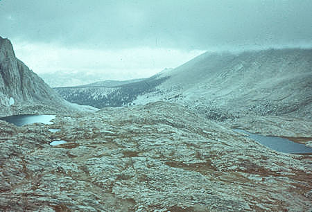
Looking back from Mount Whitney Trail - 03 Sep 1960
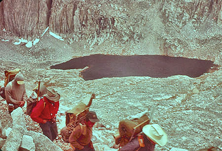
Hitchcock Lake from Mount Whitney Trail - 03 Sep 1960
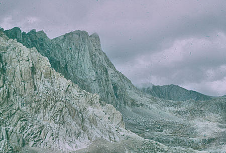
Mount Whitney east face from trail down to Consultation Lake - 03 Sep 1960
