Myself, Gil Beilke, Ralph Nikolaus, Paul Durantine (and Stan Haye almost) set out on New Year's weekend, December 31-January 2, 1977 to climb Mount Inyo, 10,975', the third highest peak in the Inyo Mountains after Keynot Peak 11,101' and Wacouba Mountain 11,123'.
We left my apartment in Lone Pine about 6:30 a.m. and drove to the trailhead in Union Wash. We hit the trail about 8 a.m. as a light snow began to fall. We were able to drive to about 5200 feet and in about a mile arrived at the spring near 6800 feet. We then started up the steep old mine trail as the snow continued.
After a while, Stan decided he and his dog Cinder should go back so Ralph and I took food and water he had for the group, and Stan returned to the car. He picked us up Sunday. We continued up the steep trail and the snow turned into flurries. The last section of the trail was quite steep and slow until we topped out at a saddle about 9200 feet.
We continued on a short distance over mostly level trail to an old mine and campsite with some bedsprings. We arrived about 3 p.m. (I think) and made camp. After a few more snow flurries the weather cleared as we prepared supper. We enjoyed the evening around a nice campfire.
Saturday we got up around 7 a.m. and after melting snow for water and fixing breakfast, headed for Mount Inyo. The weather was sunny, a light breeze, and beautiful. The Sierra was snow covered and clouds filled Owens valley - later to dissipate. We started for the peak about 9:30 a.m. and made the top about 12:30 p.m.
On the way we climbed the false summit just south. By staying to the west slopes the terrain is pretty easy until the final summit rocks and bypasses the false summit. We headed back to camp about 2 p.m. and passed a campsite near the summit - complete with potbelly stove, shovel, axe, and sawed firewood - apparently not used in many years.
We made camp between 3 and 4 and melted water before fixing supper. A campfire was enjoyed. Sunday we got up about 7 a.m. and after breakfast headed down about 8:30 a.m. Clouds were drifting about as we descended the steep trail - getting off route in one place. The loose rock was very tiring and tricky. We made the road head about 10:15 or so and headed for home after a good trip. Round trip was about 9 miles.

Sierra Nevada panorama from Mount Inyo

Sierra Nevada panorama from Mount Inyo
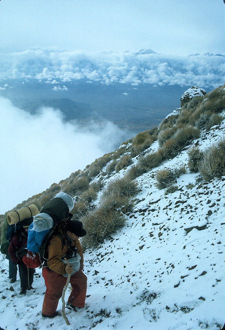
Cloudy Sierra from route toward Mount Inyo on way to camp
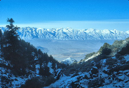
Mt. Whitney, Mt. Williamson, etc. from Bed Spring campsite
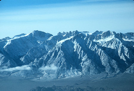
Mt. Langley, Mt. LeConte from Bed Spring campsite
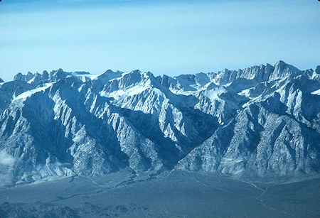
Mt. LeConte, Mt. Whitney from Bed Spring campsite
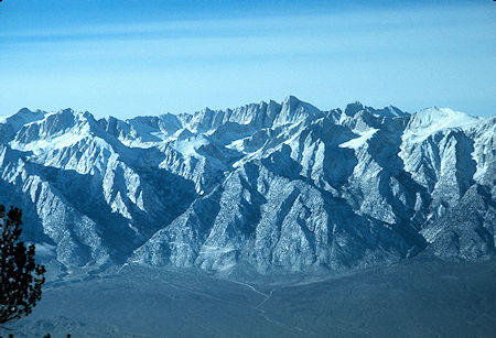
Mt. Whitney from Bed Spring campsite
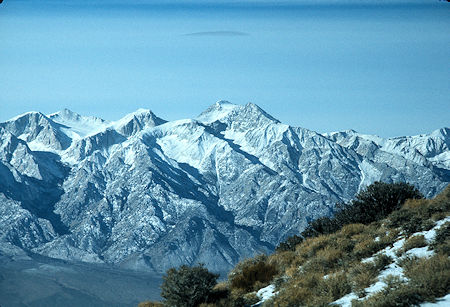
Mt. Williamson from Bed Spring campsite
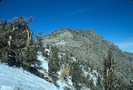
Route to Mount Inyo - false summit
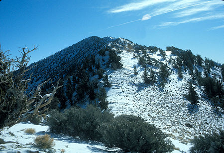
Keynot Peak from route to Mount Inyo
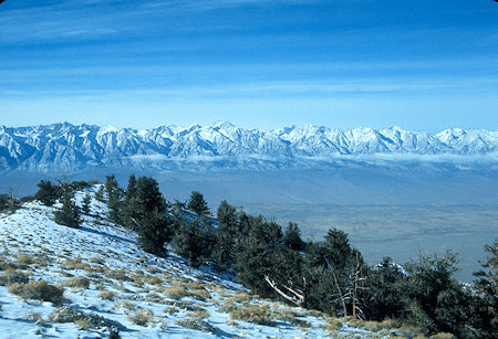
View of Mt. Whitney north along the Sierra Nevada from Mount Inyo
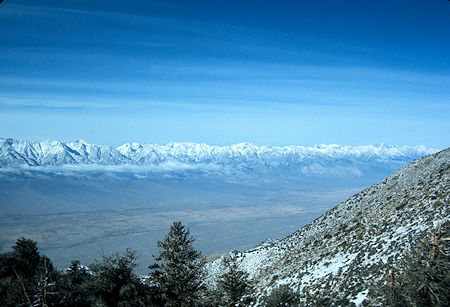
Owens Valley north from Mount Inyo
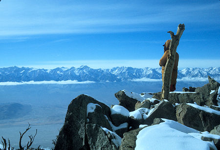
Sierra Nevada from Mount Inyo
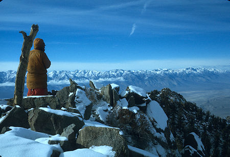
Gil Beilke viewing Sierra Nevada from Mount Inyo
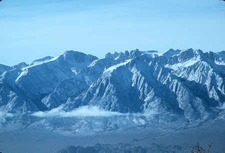
Mt. Langley, Mt. Corcorran from Mount Inyo
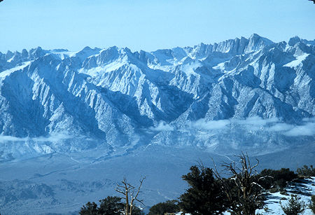
Mt. Whitney from Mount Inyo
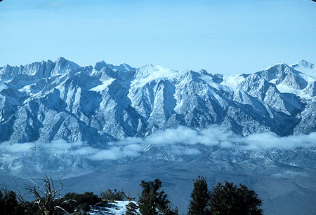
Mt. Whitney, George Creek from Mount Inyo
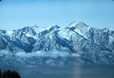
George Creek, Mt. Williamson from Mount Inyo
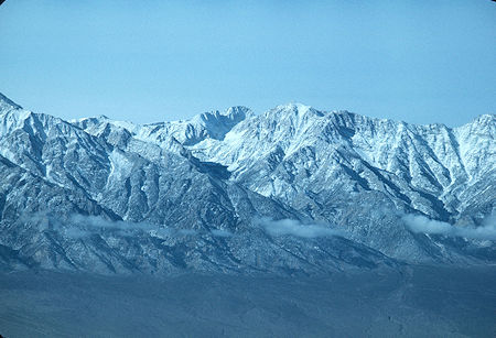
Sheppard Creek, Junction Peak and Mt. Keith from Mount Inyo
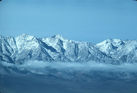
University Peak, Onion Valley from Mount Inyo
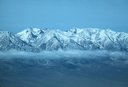
Onion Valley, Mt. Baxter from Mount Inyo
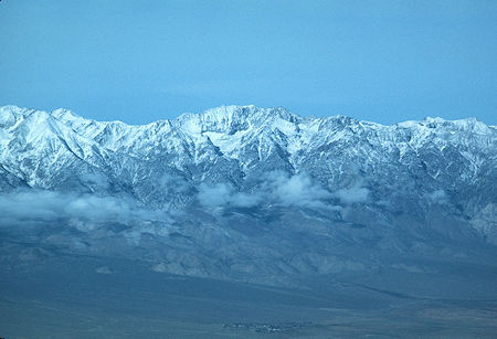
Mt. Baxter, Diamond Peak, town of Independence from Mount Inyo
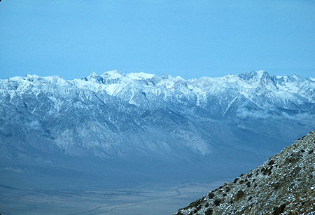
Sawmill Creek from Mount Inyo
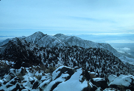
South toward Keynot Peak from Mount Inyo
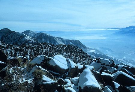
South toward Keynot Peak and Owens Lake from Mount Inyo
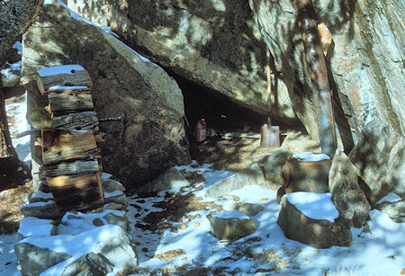
Hunters campsite with stove and wood found on way back to camp from Mount Inyo
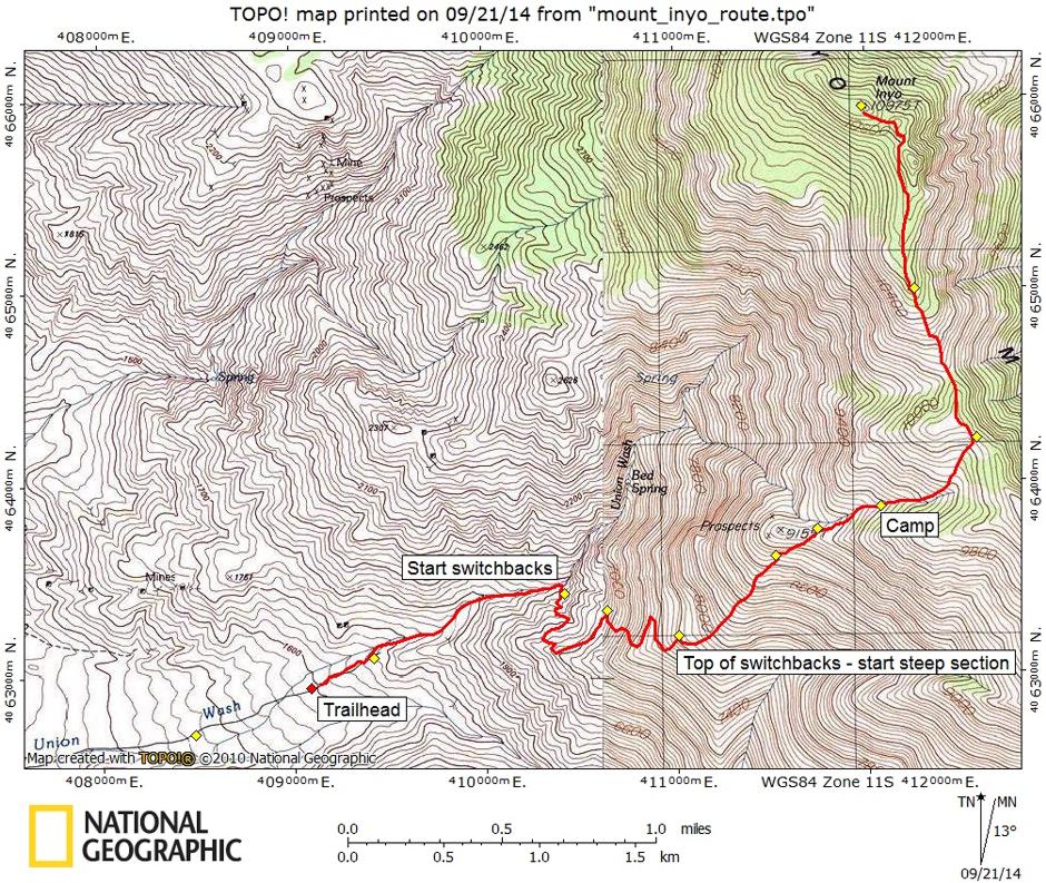
NOTE: The yellow markers on the map are GPS markers from another person's Memorial Weekend 2006 Trip Report