Wednesday, July 15, 1998
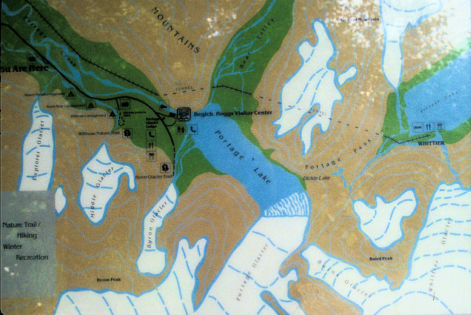
Rained during he night and was cloudy in the morning so I slept in a little, then drove out the Portage Valley Road. Good views of the Byron Glacier and stopped at the Begich, Boggs Visitor Center operated by Chugach National Forest.
Some interesting displays about glaciers. The Portage Glacier has retreated so much that it is no longer visible from the Visitor Center - decided not to take the $25.00 boat ride. A few icebergs were in the lake but nothing spectacular. The sun came out about noon.
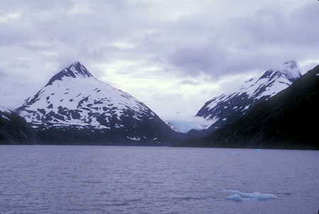
Burns Glacier over Portage Lake from Begich, Boggs Visitor Center
Chugach National Forest, Alaska
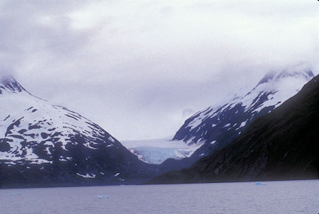
Burns Glacier over Portage Lake from Begich, Boggs Visitor Center
Chugach National Forest, Alaska
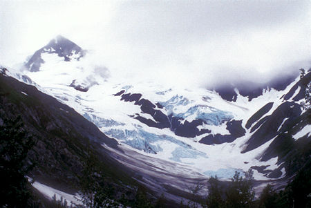
Byron Glacier from Begich, Boggs Visitor Center, Chugach National Forest, Alaska
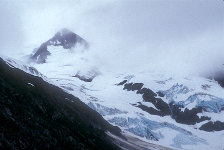
Byron Glacier from Begich, Boggs Visitor Center, Chugach National Forest, Alaska
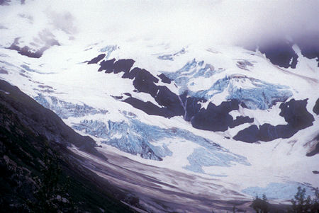
Byron Glacier from Begich, Boggs Visitor Center, Chugach National Forest, Alaska
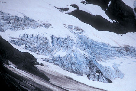
Byron Glacier near Begich, Boggs Visitor Center, Alaska
Nearby, they were in the process of converting a long railroad tunnel which goes to the town of Whittier, AK into a combined vehicle and railroad route. Although I didn't visit Whittier in 1998, the story about the town and tunnel access is fascinating. Be sure to check their website for lots of information.
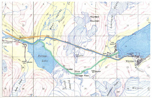
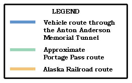
Portage to Whittier route map - Alaska DOT drawing
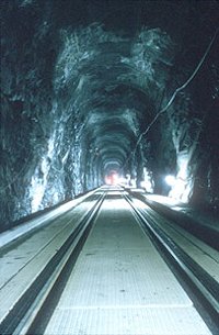
Inside Anton Anderson
Memorial Tunnel
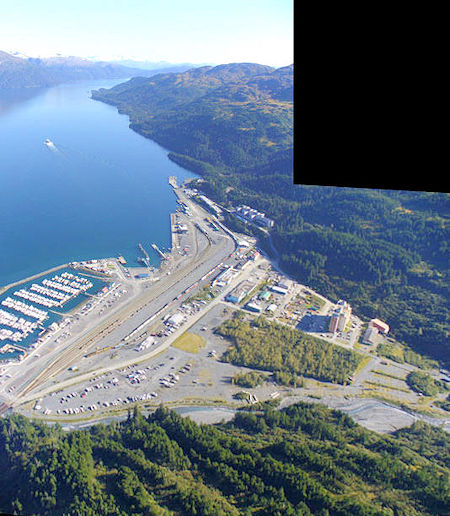
Whittier, Alaska - Almost all residents live in the 14 story Begich Towers building in lower right. The giant abandoned 6 story Buckner Building is at the upper end of town
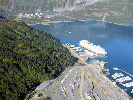
Alaska Ferry at Whittier, Alaska
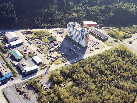
Fourteen story Begich Towers building where almost every resident of Whittier lives
Whittier is an ice free harbor created by the military as part of World War II supply facilities. At that time they built a railroad into the port but no road. The railroad goes through a several mile long tunnel.
Travel between Prince William Sound and Turnagain Arm has always been a vital part of life in Alaska, although modes and routes have continued to change. Chugach Eskimos have hunted and gathered in this area for thousands of years. They trekked over Portage Pass and Portage Glacier to trade and fight with the Athabaskan Indians of Cook Inlet.
Many miners and prospectors also used Portage Pass to reach the gold fields of Cook Inlet and the Kenai Peninsula in the late 19th century. Often dropped off at the head of Passage Canal, these adventurers used pack trains, sleds, and pulleys to drag equipment and supplies over Portage Pass in hopes of striking it rich in Cook Inlet or on the Kenai Peninsula.
During this period, Portage Glacier still covered most of Portage Lake. Travelers climbed to Portage Pass and traversed the eastern edge of Portage Glacier to Bear Valley. From there they would walk the front of the glacier onto the base of Begich Peak and drop down to Portage Valley.
This route, however, was both difficult and dangerous. In 1914 the Alaska Railroad Corporation began to consider ways to construct a railroad spur to what is now the town of Whittier. While railroad manager Otto Ohlson championed this route because of its ability to provide a shortcut to a deep-water port (a trip to Seward added 52 more miles), this route didn't become a reality until World War II.
The main advantages of using Whittier as a rail port was that it was a shorter voyage, reduced exposure of ships to Japanese submarines, reduced the risk of Japanese bombing the port facilities because of the bad weather, and avoided the steep railroad grades required to traverse the Kenai Mountains.
In 1941, the U.S. Army began construction of the railroad spur from Whittier to Portage. This line became Alaska's main supply link for the war effort. Anton Anderson, an Army engineer, headed up the construction. The tunnel currently bears his name.
On April 23, 1943 workers completed the spur, which consisted of a 1-mile tunnel through Begich Peak and a 2.5-mile tunnel through Maynard Mountain, thus linking Whittier to the Alaska Railroad's main line at Portage.
With a new rail connection to Whittier, the area began to change. In the mid-1940s, work crews and supply ships began to arrive, and population, including military and civilian personnel, swelled to over 1,000. Infrastructure—such as buildings (including the six story Buckner building and the Begich Tower), a power plant, and a petroleum tank farm—began to change the landscape.
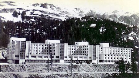
Buckner Building contained an entire city with housing for 1000 people
The 1950s brought change to Whittier once again. As the military pulled out, Whittier transformed into a federally run commercial port. This turn of events also provided the opportunity for the private ownership and development potential that exists today.
The Alaska Railroad began offering a shuttle service between Portage and Whittier in the mid 1960's. This unique form of rail service allowed vehicles to drive on to flat cars to be transported between Whittier and Portage.
As the numbers of people traveling to and from Whittier increased, so did the demand for more convenient and affordable passage to Whittier. Studies made clear that there was more demand for access than could be accomdated with the Alaska Railroad's shuttle operation.
This need spurred the Alaska Department of Transportation and Public Facilities (DOT&PF) to search for a way to improve this transportation corridor. The DOT&PF considered several options.
After studying all the options, DOT&PF, in consultation with the Alaska Railroad, the public, and tunnel, railroad, and highway experts, determined that the best solution was to construct a highway to Maynard Mountain and transform the existing railroad tunnel into a one-lane, combination highway and railway tunnel that allows cars and trains to take turns traveling through the tunnel.
This project consisted of 1.5 miles of road, one 500 foot long tunnel and two bridges from the Portage Glacier Highway near the Begich-Boggs Visitor Center to the Bear Valley staging area. Construction began in September 1998.
The new road includes a new vehicle tunnel near the Begich, Boggs Visitor Center that will minimize the visual impact on the Visitor Center, then a section of road into nearby Bear Valley to the main tunnel entrance.
This new road opened June 7, 2000. Complete information on the history of the original World War II tunnel and the new combined Portage to Whittier auto/rail redesign is available on the Anton Anderson Memorial Tunnel web site ... worth taking a look at. Construction Photos Here.
Checked out a couple more glaciers visible from the road back to the Seward Highway, then headed south - stopped at Turnagain Pass 988 feet, a pretty area.
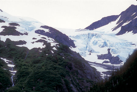
Middle Glacier from Portage Glacier Road near Begich, Boggs Visitor Center
Chugach National Forest, Alaska
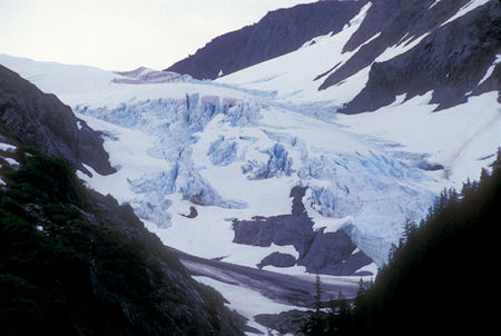
Middle Glacier from Portage Glacier Road near Begich, Boggs Visitor Center
Chugach National Forest, Alaska
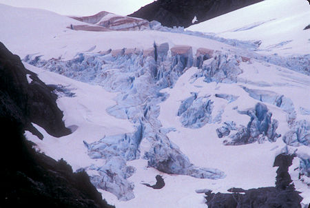
Middle Glacier from Portage Glacier Road near Begich, Boggs Visitor Center
Chugach National Forest, Alaska
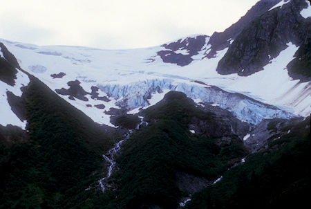
Explorer Glacier from Portage Glacier Road near Begich, Boggs Visitor Center
Chugach National Forest, Alaska
Took a side trip out to Hope, AK - a historic mining town - nothing much to see but there is a very nice U.S. Forest Service campground at the end of the paved road.
Headed back to the Seward Highway, enjoyed some nice views, stopped for the night at Trail River U.S. Forest Service Campground.
Thursday, July 16, 1998
Morning clouds but the sun was trying. Drove on toward Seward, drove out the Nash Road with nice views across Resurrection Bay toward the town.
Then drove into town and to the end of the road at Lowell Point south of town where there is access to a trail to the Caines Head State Park.
Drove around Seward but there wasn't much to see - decided to skip the Museum and new multi-million dollar Alaska SeaLife Center.
The center was created in part from funds received in the Exxon Valdez oil spill settlement and has a main mission of studying the long term effects of the oil spill and helping with solutions to lingering problems, etc.
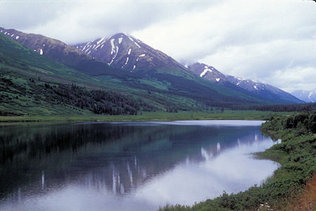
Scenery on Seward Highway near Seward, Alaska
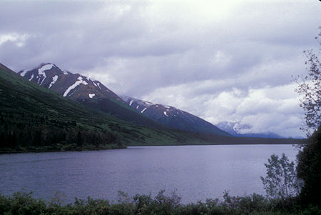
Scenery on Seward Highway near Seward, Alaska
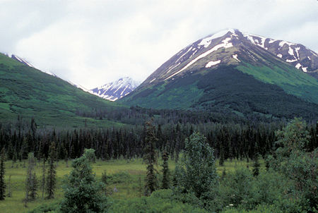
Scenery on Seward Highway near Seward, Alaska
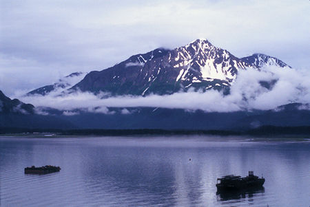
Scenery on Seward Highway near Seward, Alaska
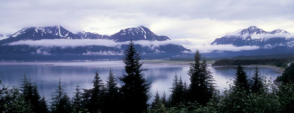
Scenery on Seward Highway near Seward, Alaska
Drove out to nearby Exit Glacier on Kenai Fjords National Park.
Hiked up the short trail to the foot of the glacier where there were fine views of the crevasses, blue ice, etc.
At the time I visited in 1998, the glacier was advancing about two feet a day and melting back about two and a half feet for a net loss. Markers along the road and trail show how far it has receded over the years - quite a bit just since 1978.
There is also a steep trail up to views of the Harding Icefield from which the glacier originates, but decided not to do that since the cloudy weather would have prevented any meaningful views.
Exit Glacier is a glacier derived from the Harding Icefield in the Kenai Mountains of Alaska and one of Kenai Fjords National Park's major attractions. It is one of the most accessible valley glaciers in Alaska and is a visible indicator of glacial recession due to climate change.
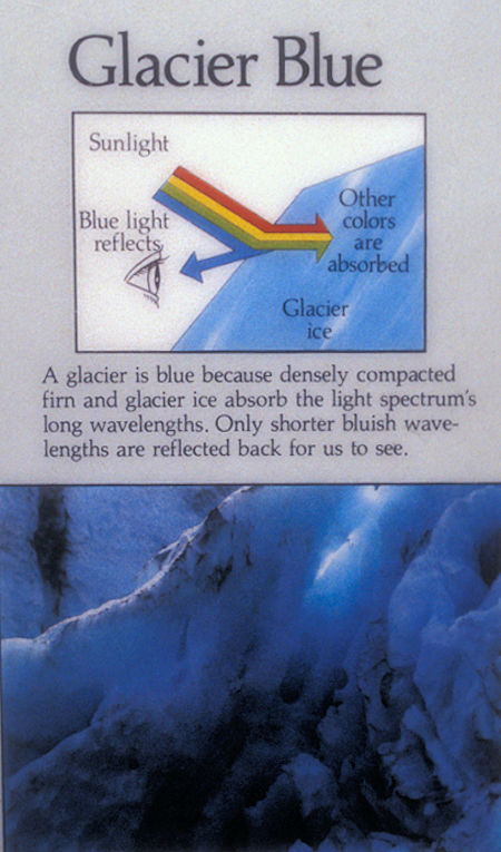
Why glaciers are blue
Exit Glacier retreated approximately 187 feet from 2013 to 2014 and park scientists continue to monitor and record the glacier's accelerating recession.
It received its name for serving as the exit for the first recorded crossing of the Harding Icefield in 1968.
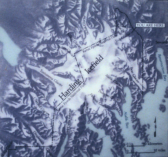
Harding Icefield is the source of the Exit Glacier, upper right
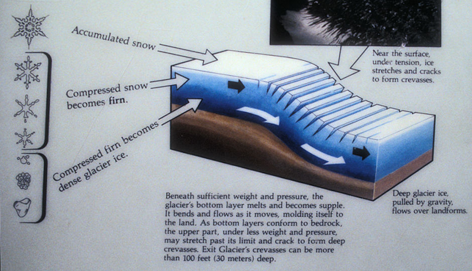
How glaciers function
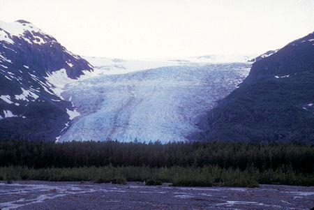
Exit Glacier from Exit Glacier Road, Kenai Fjords National Park, Alaska 1998
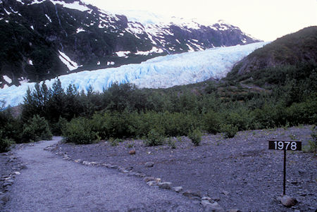
Exit Glacier from trail at 1978 marker, Kenai Fjords National Park, Alaska 1998
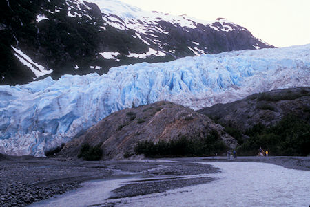
Exit Glacier from trail, Kenai Fjords National Park, Alaska 1998
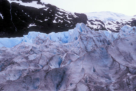
Exit Glacier, Kenai Fjords National Park, Alaska 1998
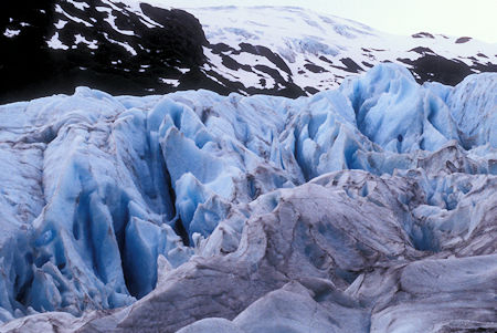
Exit Glacier, Kenai Fjords National Park, Alaska 1998
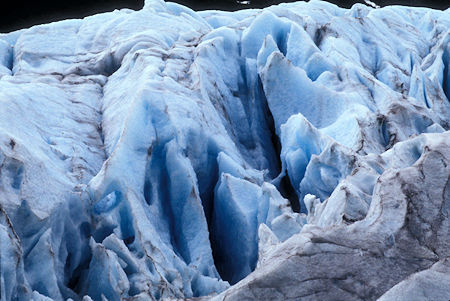
Exit Glacier, Kenai Fjords National Park, Alaska 1998
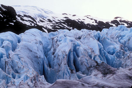
Exit Glacier, Kenai Fjords National Park, Alaska 1998
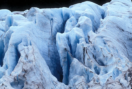
Exit Glacier, Kenai Fjords National Park, Alaska 1998
Backtracked on the Seward Highway and turned west on the Sterling Highway toward Soldotna, AK. Turned off on the Skilak Lake loop road in the Kenai National Wildlife Refuge and camped at the Hidden Lake,Kanai National Wildlife Refuge campground.
Friday, July 17, 1998
High clouds as I drove on into Soldotna - called my friend Scott in Homer to let him know I was going to arrive today.
Drove out to Kenai, AK and saw the interesting Russian Orthodox Church and St. Nicholas hand hewn Chapel - all vintage 1906 or so. Also visited the Kenai Visitor Center and Museum which had some nice exhibits.
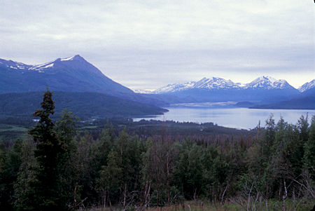
Skilak Lake from Pothole Lake Fire overlook, Kenai National Wildlife Refuge, Alaska
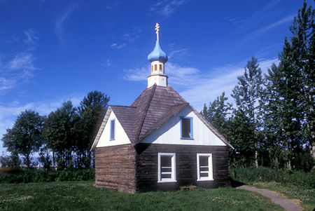
St. Nicholas Chapel, Kenai, Alaska
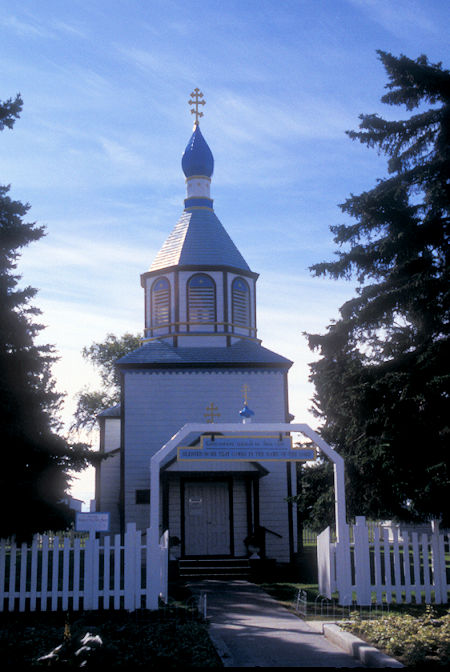
Russian Orthodox Church, Kenai, Alaska
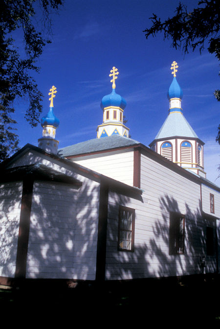
Russian Orthodox Church, Kenai, Alaska
Drove around a little more and then headed south on the Kalifornsky Beach Road back to the Sterling Highway. No views of the beach.
Continued south toward Homer, AK - nothing of particular interest along the way - the fog started rolling into the Cook Inlet which effectively wiped out scenery to the west.
As I approached Homer there is a new nice viewpoint with fantastic views over Homer of the mountains and glaciers on the other side of the bay.
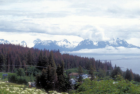
View across Homer to mountains on other side of bay from viewpoint on highway
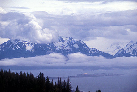
View across Homer to mountains on other side of bay from viewpoint on highway
Drove into town, then out onto the Homer Spit which is a real tourist zoo. >Then back to town and out to the Scott Morton and Chuck Harter "estate". They have five acres with fine views and an octagonal house that is permanently under construction.
We proceeded to talk all night and on into the morning - finally gave it up about 1:30 a.m.
Grewingk Glacier is a 13-mile-long glacier located in the Kenai Mountains, near Kachemak Bay, 15 miles east-southeast of Homer. It was named in 1880 by W. H. Dall of the U.S. Coast and Geodetic Survey for the Baltic German geologist Constantin Grewingk.
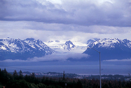
View of Grewingk Glacier on other side of bay from Homer, Alaska
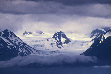
View of Grewingk Glacier on other side of bay from Homer, Alaska
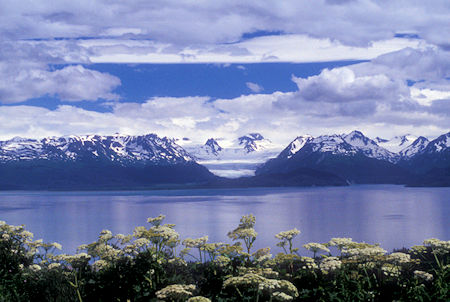
Grewingk Glacier from Skyline Drive in Homer, Alaska
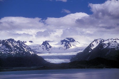
Grewingk Glacier from Skyline Drive in Homer, Alaska
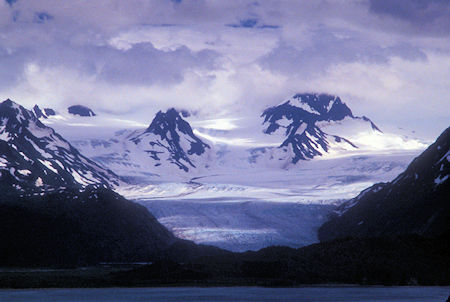
Grewingk Glacier from Skyline Drive in Homer, Alaska
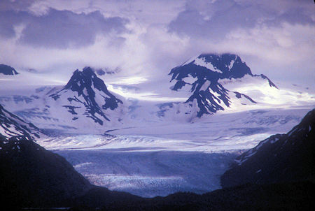
Grewingk Glacier from Skyline Drive in Homer, Alaska
Laced between the mountain peaks on the far side of Kachemak Bay, rivers of ice flow from the Harding Ice Field. Named after President Warren Harding, the ice field is one of the remaining four in the United States with over 30 glaciers covering over 300 square miles.
Most of Alaska’s glaciers are tidewater glaciers, meaning they calve into saltwater. Homer's glaciers are alpine glaciers, unique in that they form in mountain valleys creating their own moraine lake.
The three most visible glaciers are the ones closest to Halibut Cove: Grewingk, Portlock and Dixon Glacier. They are best viewed from East End Road and Skyline Drive.
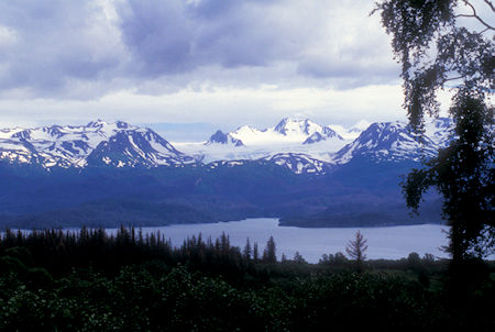
View of Dixon Glacier across bay from Homer, Alaska
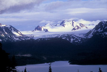
View of Dixon Glacier across bay from Homer, Alaska
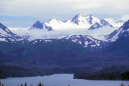
View of Dixon Glacier across bay from Homer, Alaska
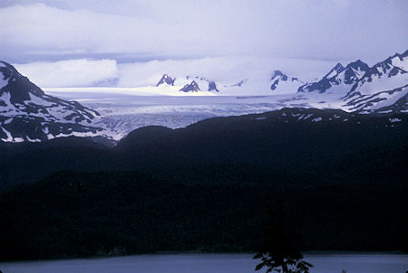
View of Portlock Glacier across bay from Homer, Alaska
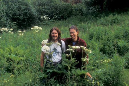
Scott Morton and Chuck Harter, Homer, Alaska
Saturday, July 18, 1998
After a late start, I did my computer Internet catchup and showed Scott how I use my notebook computer and how to modify the opening and closing screens.
Scott is a Radio Electronics Engineer and thus interested in things radio. He has a consulting business that does things mostly for public radio stations.
He showed me some Internet Real Audio broadcasts - over 350 radio stations that you can listen to on the Internet - from all over the world.
Scott and Chuck took me on a hike on their property and neighboring property. We saw some nice flowers and good views of the Kenai Mountains across Kachemak Bay.
They live about sixteen miles outside of Homer on the northwest side of Kachemak Bay. The Dixon and Portlock glaciers are clearly visible from their house. The Grewingk glacier can be seen from Homer. Lots of impressive views.
Sunday, July 19, 1998
A beautiful sunny day. Scott and Chuck took me on a drive to points and views of interest around Homer. One interesting group is the Russians who have several of their own small communities northeast of Homer at the end of East End Road. They are basically a closed religious group - they have and try to stick to their own traditions - like the girls wear long dresses, etc. There are many conflicts between their beliefs and modern society that create problems - particularly for the children as they get older.
We also saw examples of modern development starting to encroach on the Homer area - subdivisions - high priced homes - people with money moving in. There is nothing in Homer to support the kind of incomes indicated by this new housing - so.... - The main highway into Homer has been upgraded and more work is going on in town.
West of Homer and west of Anchor Point, across the Cook Inlet one can see three big volcanoes - unfortunately when I was driving in the fog had come in blocking the views - and on the ride today the clouds had built up to hide them. Lots of fine scenery in the area.
One thing I've noticed about Alaska is all the fine new school buildings - big modern nice structures. Scott says it's the money the state gets from the North Slope oil and pipeline.
After ice cream cones, we headed back to Scott and Chuck's.
Monday, July 20, 1998
I had a great visit with Scott and Chuck. In addition to their fine hospitality and great food, they have an antique record player and some old Victor records that Chuck inherited. Scott had to rehabilitate the player's pickup and now they can listen to some real old time music - including a single sided "Talking Voice" record that was made by having the musicians play in front of a giant horn that picked up the sound and directly recorded it on the master record.
Chuck also inherited a Stereo Viewer and they have a collection of pictures - two images mounted on a card that give a stereo image when looked at through the viewer. Included were scenes from Glacier Point in Yosemite.


