Thursday, July 9, 1998

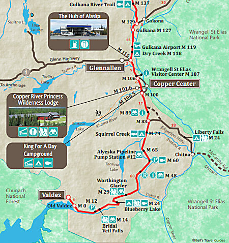
Bright SUNNY day as I headed toward Valdez. Stopped at an interpretive display at Pump Station 12 on the Alaska Pipeline. Information about the pump stations Here.
The Trans-Alaska Pipeline System (TAPS) includes the trans-Alaska crude-oil pipeline, 11 pump stations, several hundred miles of feeder pipelines, and the Valdez Marine Terminal.
TAPS is one of the world's largest pipeline systems. It is commonly called the Alaska pipeline, trans-Alaska pipeline, or Alyeska pipeline, (or the pipeline as referred to in Alaska), but those terms technically apply only to the 800 miles of the pipeline with the diameter of 48 inches that conveys oil from Prudhoe Bay to Valdez, Alaska. The crude oil pipeline is privately owned by the Alyeska Pipeline Service Company.
The pipeline was built between 1974 and 1977, after the 1973 oil crisis caused a sharp rise in oil prices in the United States. This rise made exploration of the Prudhoe Bay oil field economically feasible.
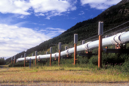
Alaska Pipeline on Richardson Highway
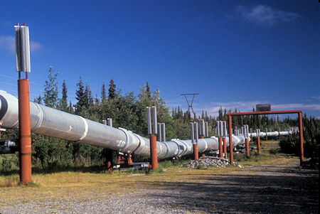
Alaska Pipeline on Richardson Highway
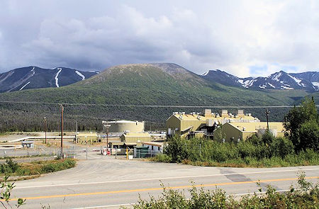
Pump Station 12
Environmental, legal, and political debates followed the discovery of oil at Prudhoe Bay in 1968, and the pipeline was built only after the oil crisis provoked the passage of legislation designed to remove legal challenges to the project.
In building the pipeline, engineers faced a wide range of difficulties, stemming mainly from the extreme cold and the difficult, isolated terrain.
The construction of the pipeline was one of the first large-scale projects to deal with problems caused by permafrost, and special construction techniques had to be developed to cope with the frozen ground.
The project attracted tens of thousands of workers to Alaska, causing a boomtown atmosphere in Valdez, Fairbanks, and Anchorage.
The first barrel of oil traveled through the pipeline in the summer of 1977, with full-scale production by the end of the year.
Pumping stations maintain the momentum of the oil as it goes through the pipeline. Pump Station 1 is the northernmost of 11 pump stations spread across the length of the pipeline.
The original design called for 12 pump stations with 4 pumps each, but Pump Station 11 was never built. Nevertheless, the pump stations retained their intended naming system.
Eight stations were operating at startup, and this number increased to 11 by 1980 as throughput rose. As of December 2006, only five stations were operating, with Pump Station 5 held in reserve. Pump Stations 2 and 7 have a capacity of moving 60,000 gallons/minute, while all other stations have a capacity of 20,000 gal/min. The pumps are natural-gas or liquid-fueled turbines.
Several notable incidents of oil leakage have occurred since, including those caused by sabotage, maintenance failures, and bullet holes.
As of 2010, it had shipped almost 16 billion barrels of oil. The pipeline has been shown capable of delivering over 2 million barrels of oil per day but nowadays usually operates at a fraction of maximum capacity. If flow were to stop or throughput were too little, the line could freeze.
Views of 16,000 foot high snow and ice covered Wrangell Mountains dominated the scenery to the east.
The Wrangell Mountains are a high mountain range of eastern Alaska. Much of the range is included in Wrangell-Saint Elias National Park and Preserve. Check out this park brochure (PDF)
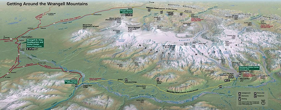
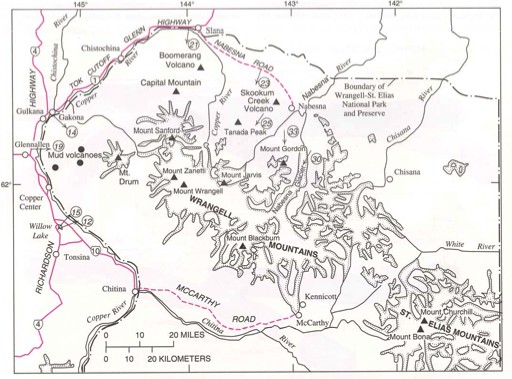
The Wrangell Mountains are almost entirely volcanic in origin, and they include the second and third highest volcanoes in the United States, Mount Blackburn and Mount Sanford. The range takes its name from Mount Wrangell, which is one of the largest andesite shield volcanoes in the world, and also the only presently active volcano in the range.
The Wrangell Mountains comprise most of the Wrangell Volcanic Field, which also extends into the neighboring Saint Elias Mountains and the Yukon Territory in Canada.
The Wrangell Mountains are just to the northwest of the Saint Elias Mountains and northeast of the Chugach Mountains, which are along the coast of the Gulf of Alaska. These ranges have the combined effect of blocking the inland areas from warmer moist air over the Pacific Ocean. The inland areas to the north of the Wrangell Mountains are therefore among the coldest areas of North America during the winter.
Nice views and photos over Willow Lake. The sun angle was a little early for best light at that point but had some nice shadows that should make some good pictures.
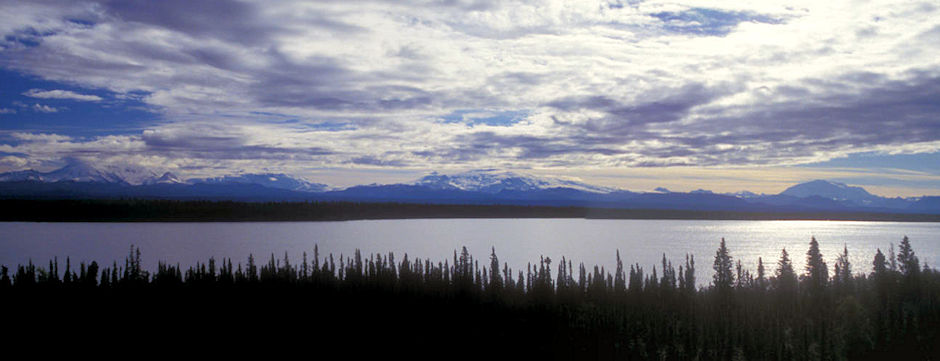
Wrangell Mountains from Willow Lake
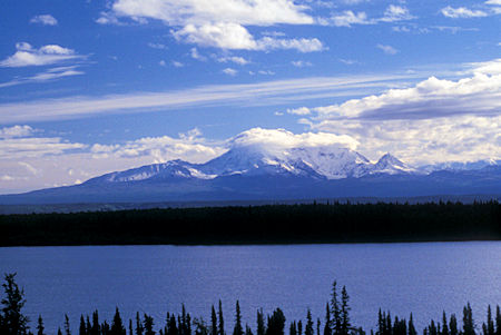
Wrangell Mountains from Willow Lake
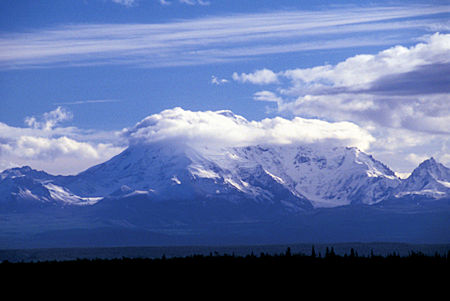
Wrangell Mountains from Willow Lake
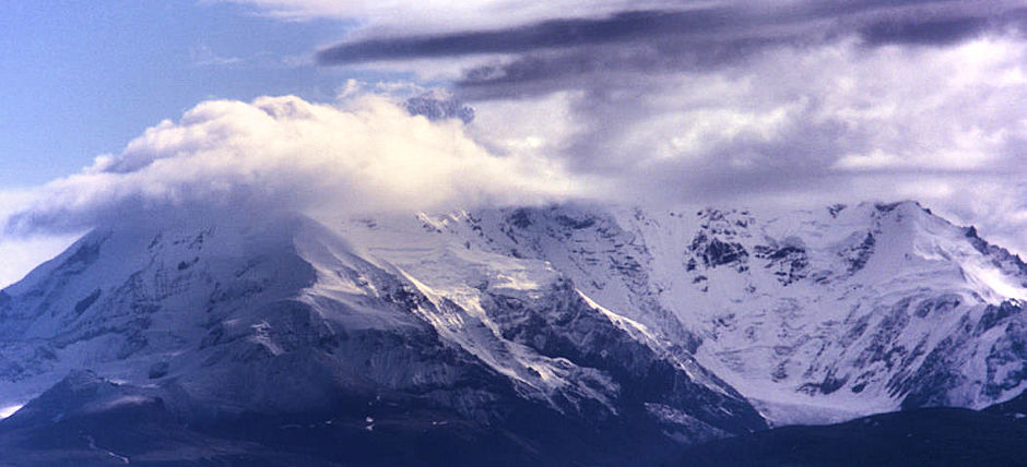
Wrangell Mountains from Willow Lake
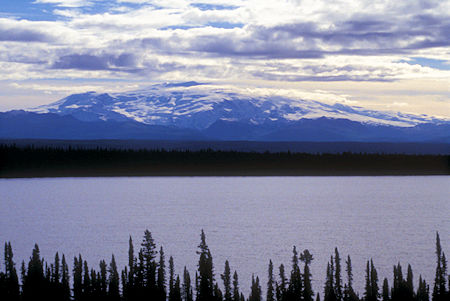
Wrangell Mountains from Willow Lake
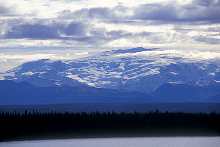
Wrangell Mountains from Willow Lake
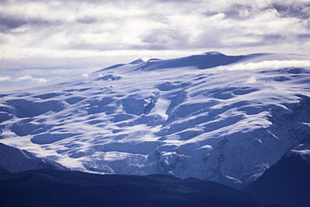
Wrangell Mountains from Willow Lake
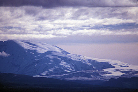
Wrangell Mountains from Willow Lake
Turned east on the Edgerton Highway for a side trip. About 21 miles in at a high point had wonderful views of the Wrangell Mountains over the Copper River and good pictures.
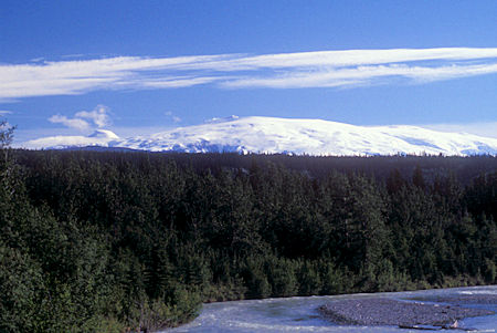
View of Wrangell Mountains from Tonsina River bridge on Edgerton Highway
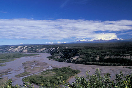
View Wrangell Mountains over Copper River
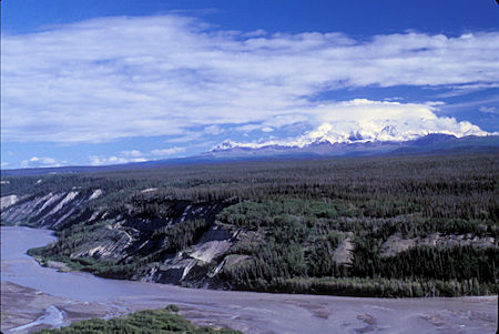
View Wrangell Mountains over Copper River
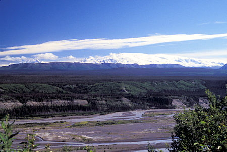
View Wrangell Mountains over Copper River
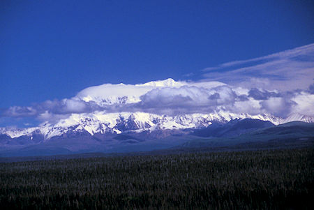
View Wrangell Mountains over Copper River
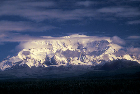
View Wrangell Mountains over Copper River
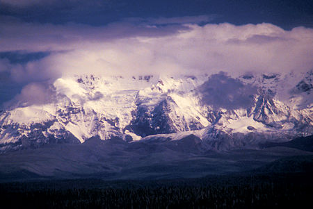
View Wrangell Mountains over Copper River
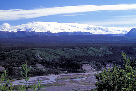
View Wrangell Mountains over Copper River
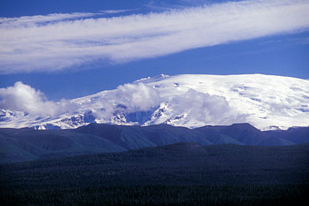
View Wrangell Mountains over Copper River
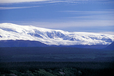
View Wrangell Mountains over Copper River
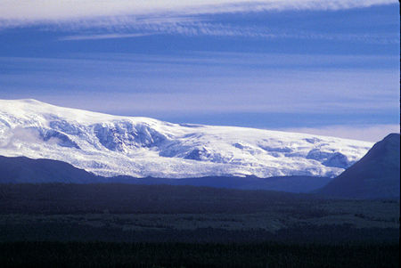
View Wrangell Mountains over Copper River
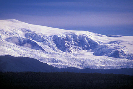
View Wrangell Mountains over Copper River
Stopped at Liberty Falls which turned out not to be much. Turned around at Chitina and headed back to the Richardson Highway. At Chitina the road turns to gravel and continues to McCarthy and the long closed Kennicott copper mine. Decided to skip that. UPDATE 2019: Guided tours are now available for the mine mill & town.
Back at the Richardson Highway I backtracked 5 miles to the Wrangell Mountains view at Willow Lake to see if the moving sun had improved the views - clouds had started to build on the mountains so just ate lunch.
Mount Billy Mitchell is a prominent 6,919-foot peak located in the Chugach Mountains, 35 miles east of Valdez and 12 miles west of the Copper River.
This mountain forms a prominent and easily visible landmark between mile markers 43 and 51 of the Richardson Highway, as the highway passes just to its west between Tonsina and the Thompson Pass.
Mount Billy Mitchell was named for William "Billy" Mitchell (1879–1936), a brigadier general of the United States Army Air Service who is often referred to as the "father of the United States Air Force".
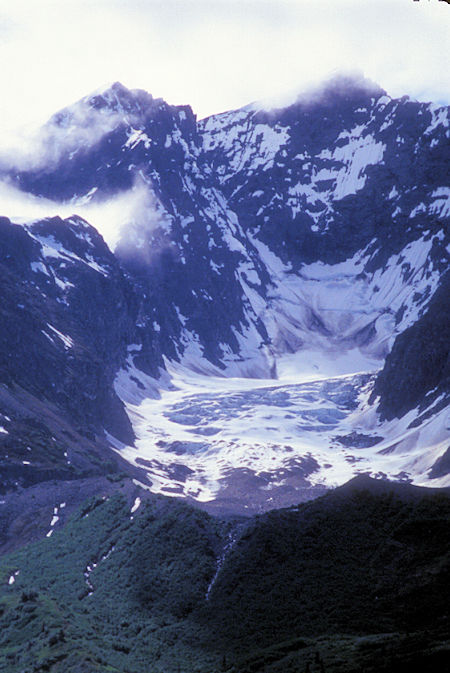
Mount Billy Mitchell, Richardson Highway, Alaska
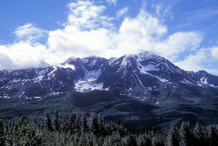
Mount Billy Mitchell, Richardson Highway, Alaska
Started getting into more alpine country and had good views of the impressive Worthington Glacier. The state Worthington Glacier State Recreation Site has an interpretive center and access to the glacier - BUT, it was blocked off and closed for reconstruction.
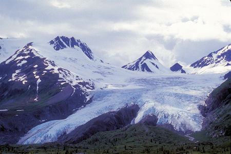
Worthington Glacier, Alaska
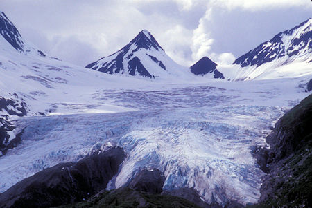
Worthington Glacier, Alaska
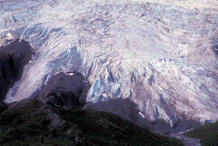
Worthington Glacier, Alaska
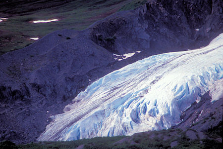
Worthington Glacier, Alaska
The alpine scenery continued as the road climbed to Thompson Pass, one of the snowiest places in Alaska. There were patches of snow next to the highway near the pass. Afternoon clouds had started to build so the mountains weren't too photogenic.
Thompson Pass is a 2,600 foot-high gap in the Chugach Mountains northeast of Valdez. It is the snowiest place in Alaska, recording 500 inches of snow per year on average. In the winter of 1952–1953, 974.1 inches of snow fell—the most ever recorded in one season at one location in Alaska. It is also the most snow ever recorded in one season at one location anywhere in the fifty states. The pass also holds the Alaska record for the most snow in a single day: 62 inches fell on December 29, 1955.
The road started a steep descent and soon entered Keystone Canyon which has a number of cascading streams coming down its walls.
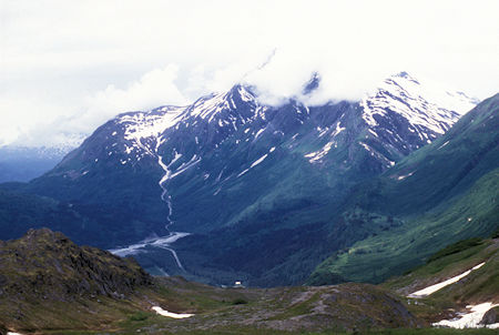
View from south of Thompson Pass over Lowe River, Richardson Highway, Alaska
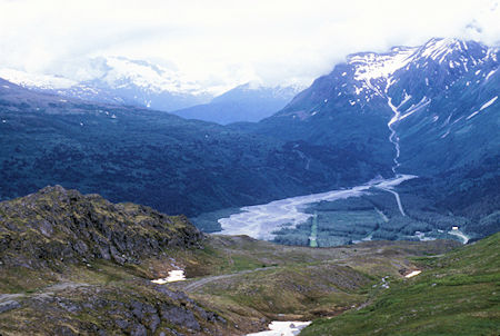
View from south of Thompson Pass over Lowe River, Richardson Highway, Alaska
Looming large above Thompson Pass and below Sapphire Peak, the 27 Mile Glacier pours out of a high basin, frozen in a desperate attempt to invade the valley below.
Stopped to photograph Bridlevail and Horsetail Falls.
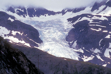
27 Mile Glacier, Richardson Highway, Alaska
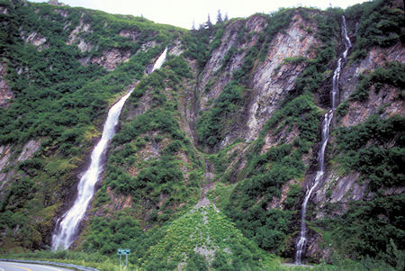
Bridalveil Falls, Keystone Canyon, Richardson Highway, Alaska
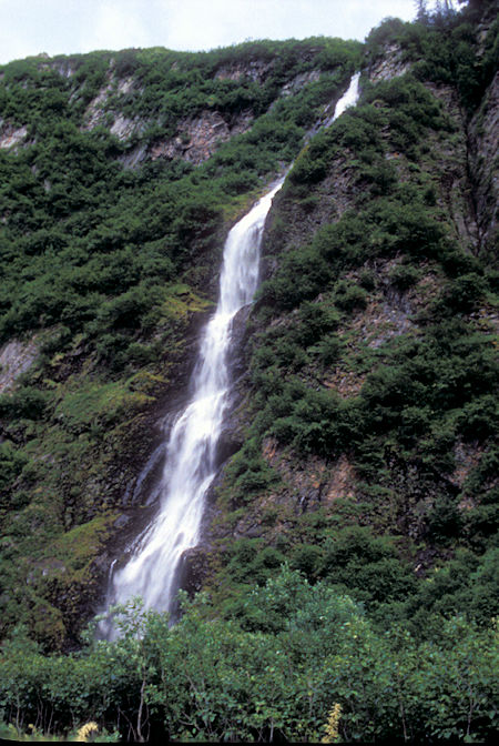
Bridalveil Falls, Keystone Canyon, Richardson Highway, Alaska
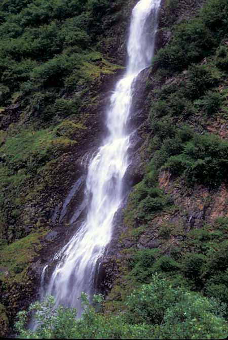
Bridalveil Falls, Keystone Canyon, Richardson Highway, Alaska
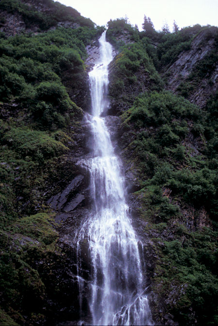
Bridalveil Falls, Keystone Canyon, Richardson Highway, Alaska
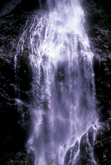
Bridalveil Falls, Keystone Canyon, Richardson Highway, Alaska
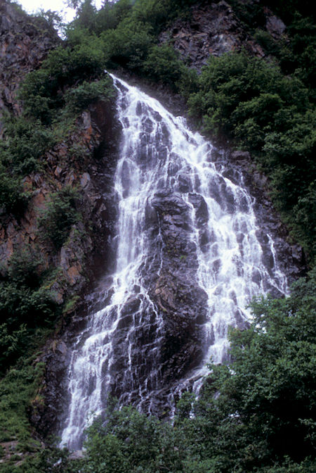
Horsetail Falls, Keystone Canyon, Richardson Highway, Alaska
It was a pretty drive although not spectacular. Without the clouds it probably would be more impressive.
It sprinkled a little as I made camp at the Valdez Glacier Campground run by the town of Valdez.
By supper time the clouds had started to thin and the sun came out.
Friday, July 10, 1998
Awoke to a heavy overcast and sprinkles. Drove up the Mineral Creek Road - much of the road is heavy with potholes - 5-10 MPH max - other parts quite smooth. I drove 5.4 miles to a locked gate, then walked up the road about 20 minutes to a stream crossing where there is an old stamp mill from gold mining. The stream looked a little tricky to cross so I decided not to go further.
Parts of the road from the locked gate had caved away or had slides. Had nice views of two glaciers as the sun poked through a little.
The canyon is scenic with numerous cascades and waterfalls dropping down the canyon walls - glad I took the trip.
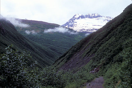
Mineral Creek Canyon, Valdez, Alaska
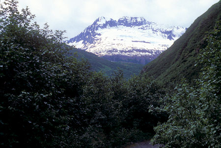
Mineral Creek Canyon, Valdez, Alaska
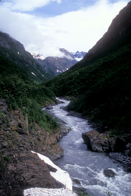
Mineral Creek Canyon, Valdez, Alaska
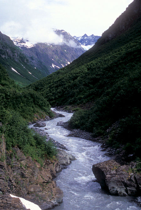
Mineral Creek Canyon, Valdez, Alaska
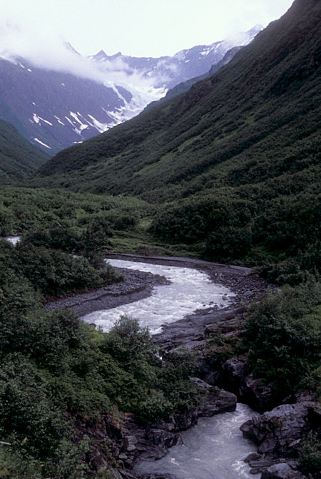
Mineral Creek Canyon, Valdez, Alaska
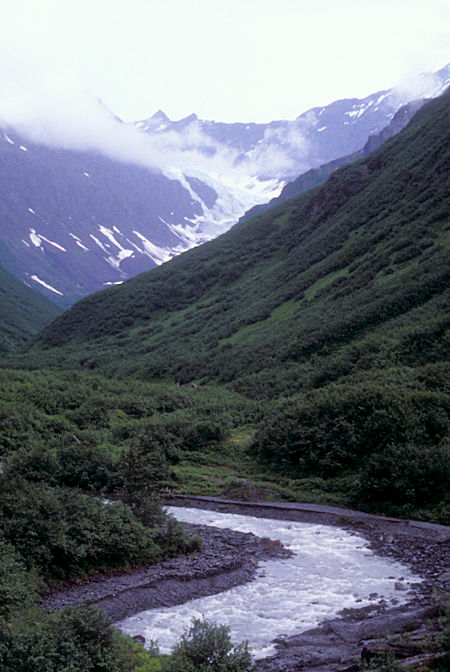
Mineral Creek Canyon, Valdez, Alaska
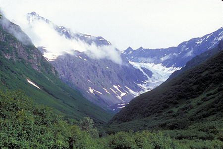
Mineral Creek Canyon, Valdez, Alaska
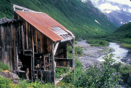
Mineral Creek Canyon, Valdez, Alaska
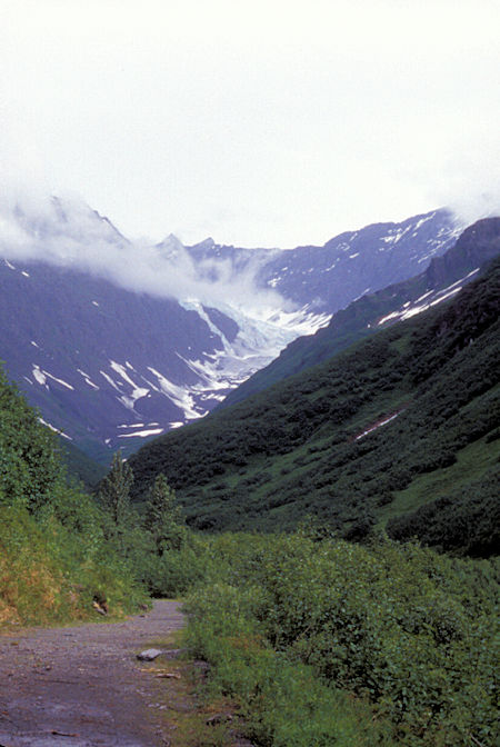
Mineral Creek Canyon, Valdez, Alaska
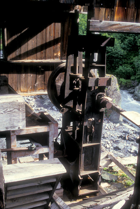
Mineral Creek Canyon, Valdez, Alaska
Back in town I toured the Valdez Museum - VERY GOOD exhibits including a restored 1907 Steam Fire Engine and area history.
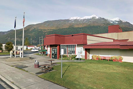
Valdez Museum, Valdez, Alaska
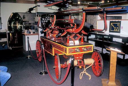
1886 Gleason & Bailey Hand Pumper, Valdez Museum, Valdez, Alaska
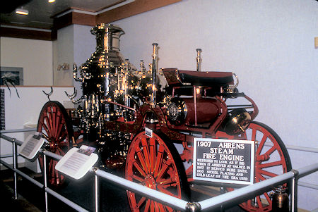
1907 Steam Fire Engine, Valdez Museum, Valdez, Alaska
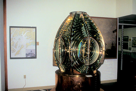
Lighthouse Lense, Valdez Museum, Valdez, Alaska
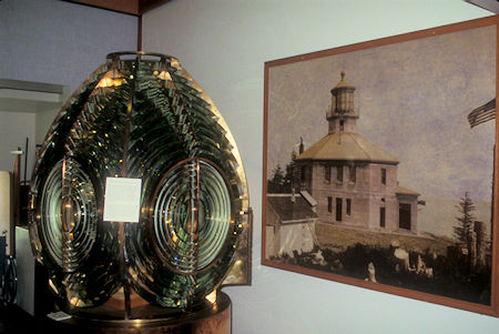
Lighthouse Lense, Valdez Museum, Valdez, Alaska
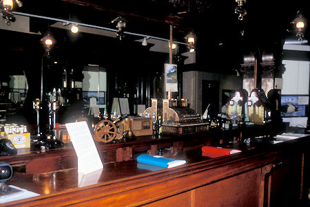
Pinzon Bar exhibit, Valdez Museum, Valdez, Alaska
Also walked up to high viewing platform by the Civic Center and got panoramic views and photos of Valdez, the harbor and its surrounding mountains.

Valdez, Alaska

Valdez, Alaska
Decided not to take the $15 tour of the Alaska Pipeline Terminal but did drive out the road to see that side of the harbor. Solomon Falls along the road is just a tall cascade.
The Valdez Marine Terminal marks the end of the Trans Alaskan Pipeline System. Located in the northeast corner of Prince William Sound, the Terminal lies on more than 1,000 acres of private land.
The facility was designed for loading crude oil onto tankers and holding crude oil so that North Slope production can continue without impact from the marine transportation system. There are 14 storage tanks in service, facilities to measure the incoming oil, two functional loading berths, and a power plant.
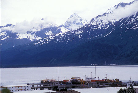
Valdez Oil Terminal, Valdez, Alaska
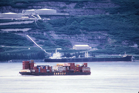
Valdez Oil Terminal, Valdez, Alaska

Valdez Oil Terminal, Valdez, Alaska
Headed north, stopping again at Bridalveil Falls, Thompson Pass and the Worthington Glacier.
Had hoped to camp at the Blueberry Lake Alaska State Campground near Thompson Pass - very scenic spot - but its 10 sites were full.
Continued on and camped at Little Tonsina Alaska State Campground. This was close enough to Pump Station 12 that I could hear the roar of the jet turbine pumps.


