Monday, June 22, 1998 continued
Continued on to Banff, AB - on past it to Canmore, AB for lunch. Drove the Spray Lakes Reservoir road intending to check out the trailhead for Mt. Assiniboine Provincial Park. The road soon turned into a SUPER gravel road - built fairly recently to full highway width - expect it will be paved in the near future. From the south end it goes through the Peter Lougheed Provincial Park which has campgrounds, etc. The Spray Lakes, being reservoirs, weren't interesting but the scenery is nice.
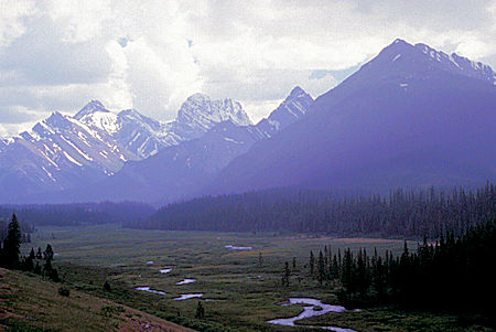
Peter Lougheed Provincial Park, Alberta
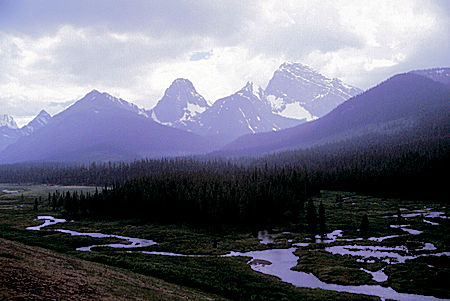
Peter Lougheed Provincial Park, Alberta
Took the side road to Mt. Shark Trail Centre - the main trailhead back into Mt. Assiniboine Provincial Park. This road also appears to be recently rebuilt. Saw two elk along the road. There is a BIATHLON course at the trailhead also. The area is used for cross country skiing in the winter, etc.
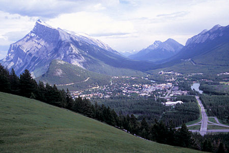
Mount Rundle and Banff from Mount Norquay Ski Area road, Banff National Park, Alberta
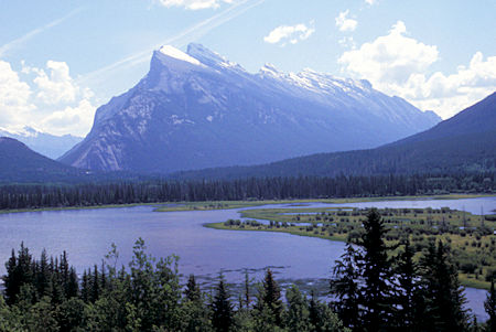
Mount Rundle behind Spray Lake Reservoir, Banff National Park, Alberta
It started to sprinkle as I continued on the main road over to Highway 40 which I drove back to the Trans-Canada Highway 1 south of Canmore. Continued back to Banff and took a look at Bow Falls - really just a long cascade.
Bow Falls is one of the quintessential waterfalls in Banff National Park. The falls rumble about 30 feet over a low-gradient pitch of channeled bedrock, providing a short turbulent interrupt of the cerulean waters of the Bow River. The falls are pretty, and under the right conditions, exceptionally photogenic, but not terribly impressive.
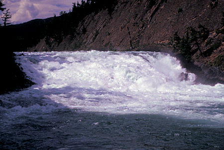
Bow Falls, Banff National Park, Alberta
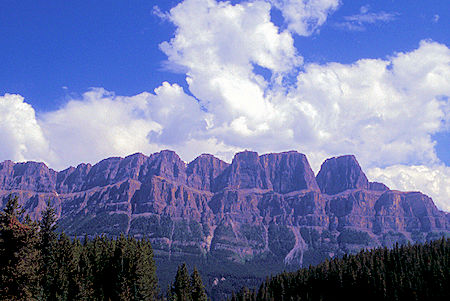
Scene near Banff, Banff National Park, Alberta
Also visited the Banff Park Museum National Historic Site, located in downtown Banff, Alberta. It is an exhibition space associated with Banff National Park.
The museum was established in 1895 to house an exhibit of taxidermy mounted specimens of animals, plants and minerals associated with the park. The museum building, constructed in 1903 to the design of territorial government engineer John Stocks, is an early example of the rustic style of architecture that was becoming popular in the parks of North America. Very interesting.
Continued north on Highway 1A to the Johnston Canyon Campground.
Tuesday, June 23, 1998
Took the 3 mile round trip hike up Johnston Canyon. Much of the trail is on catwalks out over the canyon/creek that give you excellent views of a pretty canyon/stream. The lower falls is ½ mile, the upper 1.5 miles - both worth seeing. It started to sprinkle as I hiked down.
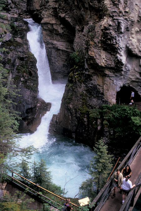
Johnston Canyon Lower Falls, Banff National Park, Alberta
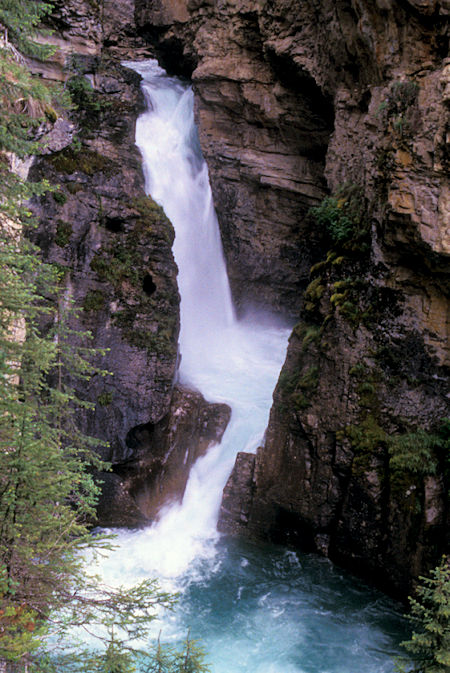
Johnston Canyon Lower Falls, Banff National Park, Alberta
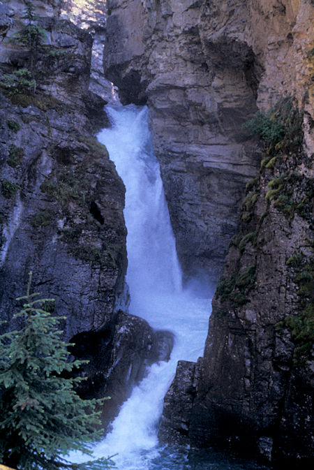
Johnston Canyon Lower Falls, Banff National Park, Alberta
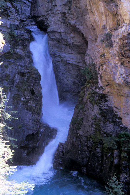
Johnston Canyon Lower Falls, Banff National Park, Alberta
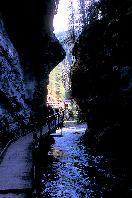
Johnston Canyon, Banff National Park, Alberta
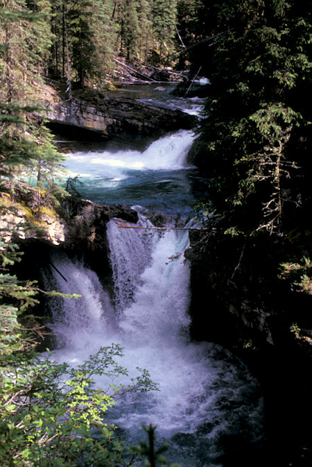
Johnston Canyon, Banff National Park, Alberta
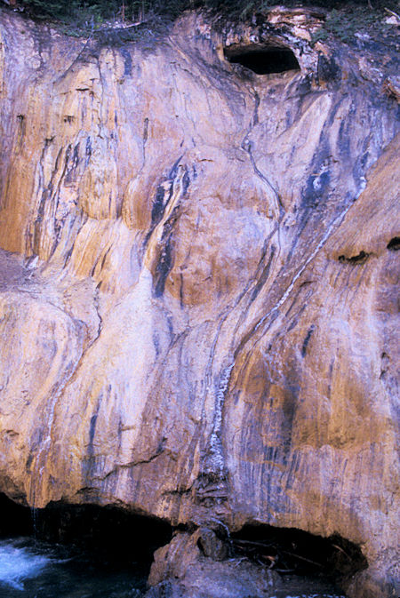
Travertine Drape, Johnston Canyon, Banff National Park, Alberta
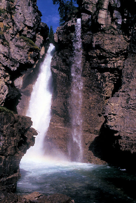
Johnston Canyon Upper Falls, Banff National Park, Alberta
A magic curtain - spring water saturated with dissolved limestone seeps out of the rock layers above, and keeps the cliff face wet. It's a ideal habitat for Travertine Algae, a primitive plant that gets its carbon dioxide from water rather than from air as most plants do.
When the Travertine Algae remove carbon dioxide from the saturated water, limestone crystals form. These deposits accumulate on the rock and algae in a "travertine drape", magically building new limestone out of the old. Travertine limestone was used 2,000 years to build the Colosseum and many aqueducts in ancient Rome.
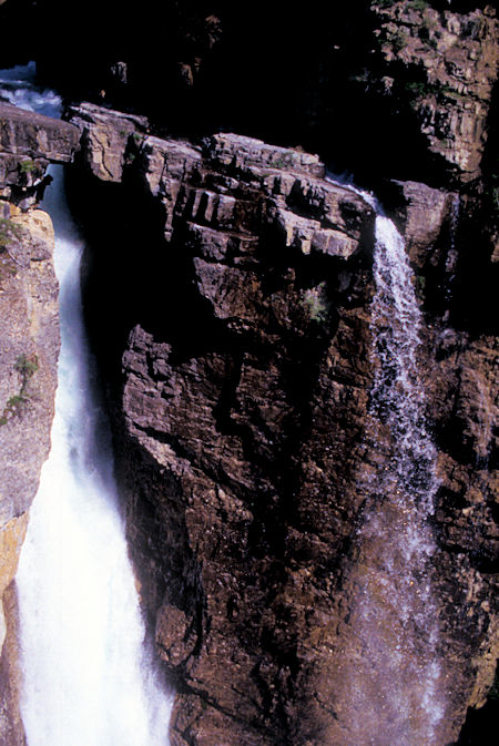
Johnston Canyon Upper Falls, Banff National Park, Alberta
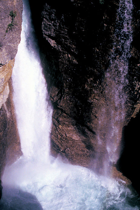
Johnston Canyon Upper Falls, Banff National Park, Alberta
Continued north on 1A - saw a LARGE elk with a GIANT rack along the highway - but he was too far back in the trees to get a decent photograph.
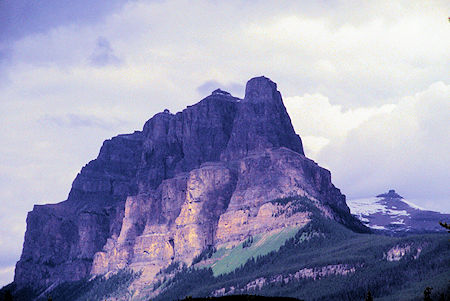
Castle Peak, Banff National Park, Alberta
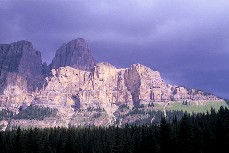
Castle Cliffs, Banff National Park, Alberta
Later I stopped with the "crowd" to photograph a young black bear who was busy harvesting plants next to the highway.
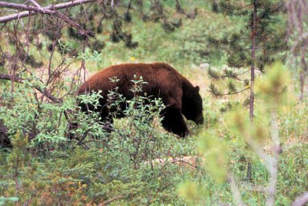
Black Bear, Banff National Park, Alberta
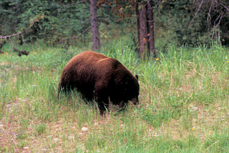
Black Bear, Banff National Park, Alberta
Drove to Lake Louise and got better photographs than in 1997 - I could actually see the mountains and glaciers above the lake (was all socked in in '97).
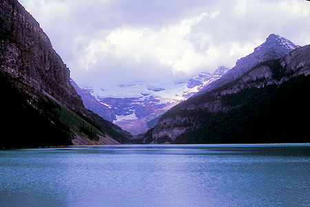
Lake Louise, Banff National Park, Alberta
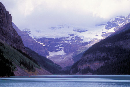
Lake Louise, Banff National Park, Alberta
Also went to Moraine Lake with the same better picture results.
Moraine Lake is a glacially fed lake in Banff National Park, 14 kilometres (8.7 mi) outside the Village of Lake Louise. It is situated in the Valley of the Ten Peaks, at an elevation of approximately 6,183 feet. The lake has a surface area of 120 acres.
The lake, being glacially fed, does not reach its crest until mid to late June. When it is full, it reflects a distinctive shade of azure blue. The unique colour is due to the refraction of light off the rock flour deposited in the lake on a continual basis by surrounding glaciers.
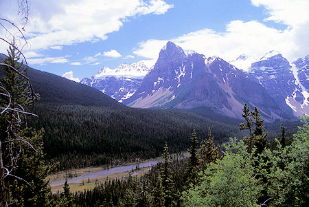
Scene approaching Moraine Lake, Banff National Park, Alberta
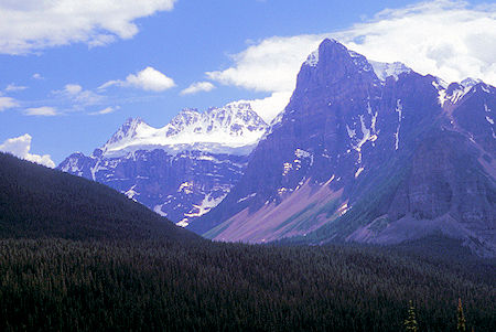
Scene approaching Moraine Lake, Banff National Park, Alberta
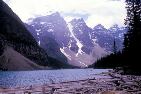
Moraine Lake, Banff National Park, Alberta
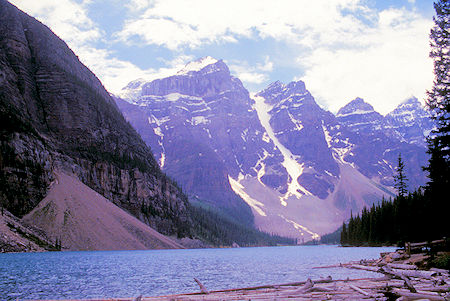
Moraine Lake, Banff National Park, Alberta
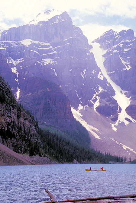
Moraine Lake, Banff National Park, Alberta
Drove over Kicking Horse Pass on a side trip into Yoho National Park - stopped to look at the exhibit for the Spiral Tunnels which were built around 1920 to lessen the grade for the railroad - still in use.
Kicking Horse Pass is at an elevation of 1,627 m, Kicking Horse Pass straddles the Continental Divide on the border between Alberta and British Columbia in Yoho National Park. In 1971, Kicking Horse Pass was designated a National Historic Site for its importance as a transportation corridor in Western Canada, first for Indigenous peoples, then the Canadian Pacific Railway, and finally the Trans-Canada Highway.
The original grade, now followed by the highway, was so steep that it took four extra engines to push a train up, and the ride down was almost a suicide trip - numerous trains wrecked.
They had several "safety switches" that worked sort of like modern runaway truck ramps, but the real solution was to lessen the grade.
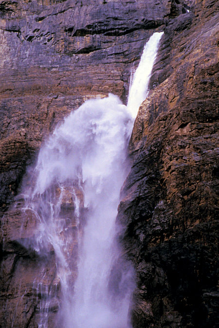
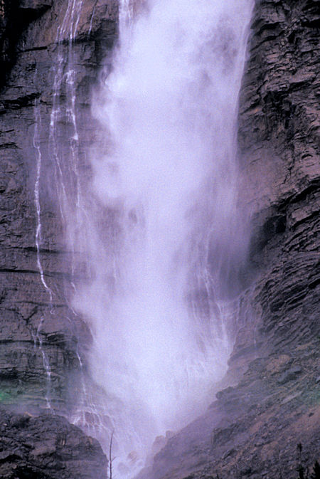
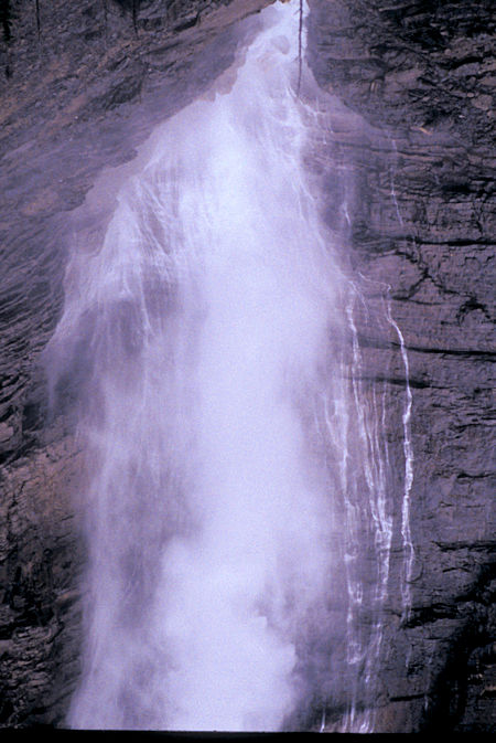
Also revisited Takakkaw Falls, 833 feet high, one of the highest in Canada. A little more water than in September 1997 which made for a slightly more spectacular scene. Took only a few pictures since it was trying to rain and I took a million or so in 1997.
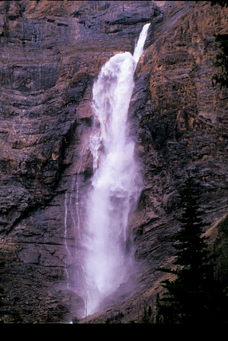
Takakkaw Falls, Yoho National Park, British Columbia
Takakkaw Falls, Yoho National Park, British Columbia
Takakkaw Falls, Yoho National Park, British Columbia
Takakkaw Falls, Yoho National Park, British Columbia
Returned east to pickup the IceFields Parkway north - stopped at the Waterfowl Lake Campground, Banff National Park.
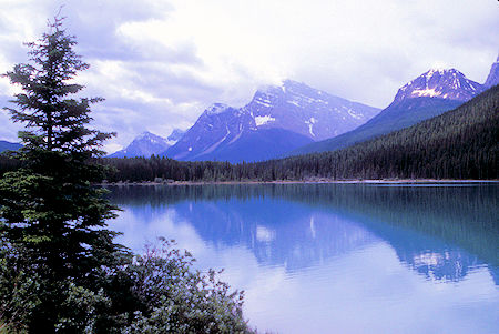
Waterfowl Lake, Banff National Park, Alberta
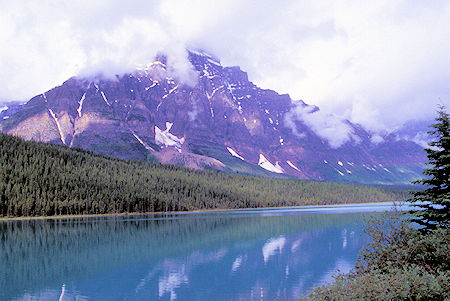
Waterfowl Lake, Banff National Park, Alberta
Wednesday, June 24, 1998
Rained lightly off and on during the night and was pretty cloudy in the morning with a few patches of blue.
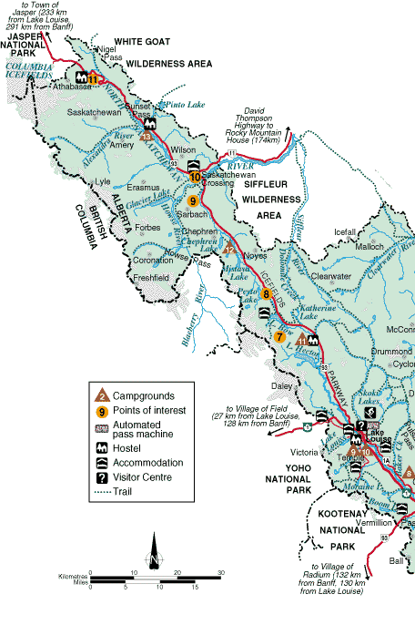
Continued north on the IceFields Parkway - at Saskatchewan Junction turned east on Highway 11 - David Thompson Highway - and drove about 35 miles to see some of the scenery.
Turned around about 2/3 of the way past Abraham Lake - a reservoir, and not too pretty.
Continued north on the IceFields Parkway and stopped at the Parker Ridge trailhead.
Took the 3 mile round trip hike up onto the ridge which had fine views of the Saskatchewan Glacier emanating from the Athabaska Ice Field - headwaters of the Saskatchewan River.
Unfortunately the cloudy/sprinkly weather didn't make for very good pictures.
The Saskatchewan Glacier is located in Banff National Park, Alberta, approximately 75 miles northwest of the town of Banff. Saskatchewan Glacier is the largest outflow glacier from the Columbia Icefield, which rests along the Continental Divide.
The glacier is a primary water source for the North Saskatchewan River. The glacier is approximately 8.1 miles long and covers an area of 11.5 miles² and was measured in 1960 to be over 1,300 feet thick at a distance of 5.0 miles from the terminal snout.
Between the years 1893 and 1953, Saskatchewan Glacier had retreated a distance of 4,475 feet, with the rate of retreat between the years 1948 and 1953 averaging 180 feet per year.
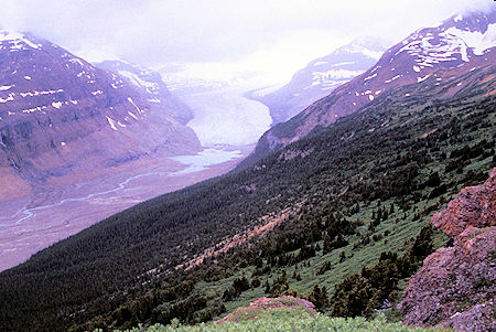
Saskatchewan Glacier, Banff National Park, Alberta
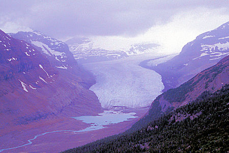
Saskatchewan Glacier, Banff National Park, Alberta
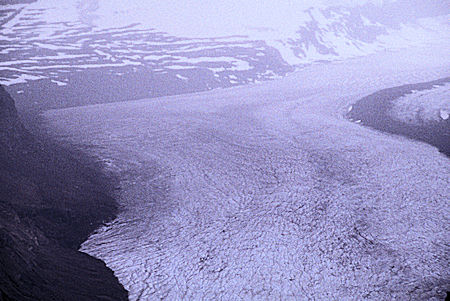
Saskatchewan Glacier, Banff National Park, Alberta
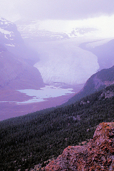
Saskatchewan Glacier, Banff National Park, Alberta
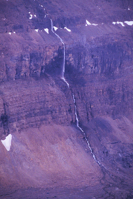
View from Parker Ridge Trail, Banff National Park, Alberta
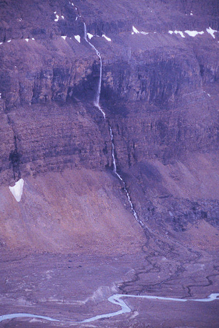
View from Parker Ridge Trail, Banff National Park, Alberta
Continued north on the IceFields Parkway, stopping at the IceFields Centre for lunch.
There were several dozen buses there and the place resembled an airport waiting room on a holiday. Lots of Japanese. The sun was trying to break through but wasn't making it.
Continued north and got some good pictures of three Mountain Goats feeding along the highway. Two adults and a lamb. A lot of cars and several busses stopped.
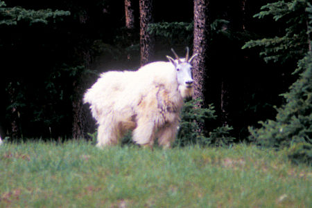
Mountain Goat, Jasper National Park, Alberta
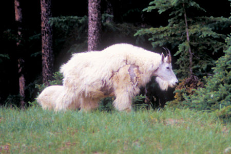
Mountain Goat, Jasper National Park, Alberta
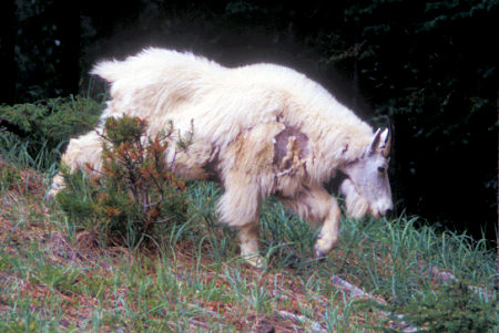
Mountain Goat, Jasper National Park, Alberta
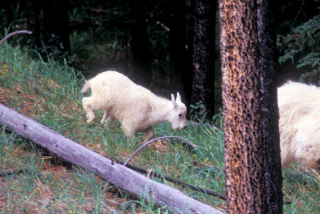
Mountain Goat, Jasper National Park, Alberta
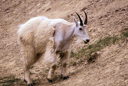
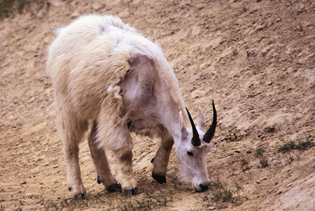
Mountain Goat, Jasper National Park, Alberta
Continued on in Jasper National Park to Jasper, AB where I refueled and made camp south of town at the Wapiti Campground.
Saw the same young elk feeding along the highway going into and coming out of Jasper.
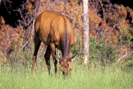
Elk, Jasper National Park, Alberta
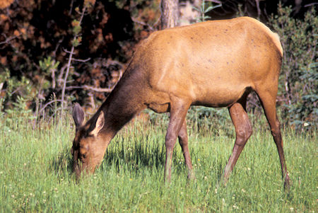
Elk, Jasper National Park, Alberta


