Sunday, July 6, 1997
Gassed up and replenished supplies, then dropped by the Daly Mansion Museum - one of the last "fancy" home of early millionaires. Beautiful grounds but unfortunately the inside wasn't open until 11am and that was too long to wait. Check out this web site for interesting historical information on the Daly Mansion and the Daly family. I returned on July 27, 1997 to tour the Mansion.
Backtracked south on US 93 to Montana 473 which I followed up into the Painted Rock Lake area. Didn't see anything like painted rocks so don't know where the name came from. A few fisher persons on the lake but mostly jet ski boats and one water skier getting a final thrill at the end of the Fourth of July weekend.
Drove up above the lake a ways - this is the route I would have come in on from the Salmon River if it hadn't been closed. Saw the "Alta Tree", a supposedly 800 year old Ponderosa Pine that was believed to be the largest in the Bitterroot Valley. Unfortunately it was killed by lightning in 1993.
Also saw the historic Alta Ranger Station, listed as the first ever Forest Service Ranger Station - just a small cabin surrounded by private homes.
Had a view of Trapper Peak along the way on Montana 473.
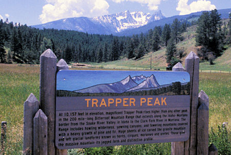
Trapper Peak sign
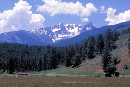
Trapper Peak
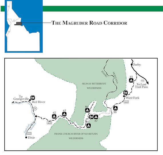
Took a back road across north to the Nez Perce Road also known as the Magruder Corridor. Nez Perce Pass is 6588'. This road starts out gravel, then becomes paved full width for a number of miles over the pass and down into the Selway River canyon. Road Guide (PDF)
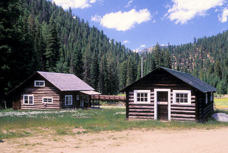
Magruder Ranger Station, Selway River, Idaho
The road turns back to dirt and soon arrives at the historic Magruder Ranger Station on the river.
In its day this was a large and important station. Half a dozen buildings.
Currently it serves as a visitor center for the Frank Church/River of No Return and Selway-Bitterroot Wilderness areas.
The main house can also be rented for recreational use.
Magruder Ranger Station.
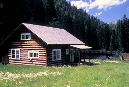
Magruder Ranger Station
Drove down the Selway River to end of road at Paradise - where raft trips are launched on the river.
The Selway River is a Nationally designated Wild and Scenic River flowing through the Selway-Bitterroot Wilderness Area. As a major tributary of the Clearwater, it was one of the original eight Wild and Scenic Rivers designated in 1968. The Selway is one of North America's premiere wilderness whitewater trips where boaters typically spend three to five days on this 47 mile run.
Saw a bunch of bicycle riders and a crew doing repair work on a bridge, but the area was otherwise deserted which surprised me. Very pretty river.
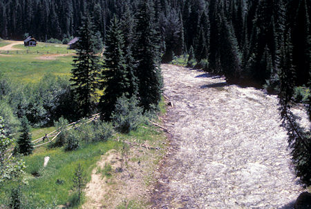
Selway River
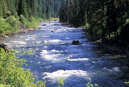
Selway River at Paradise bridge
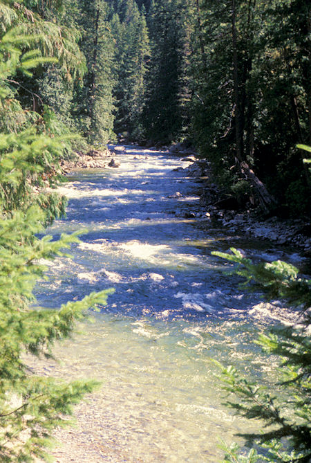
White Cap Creek at Paradise bridge
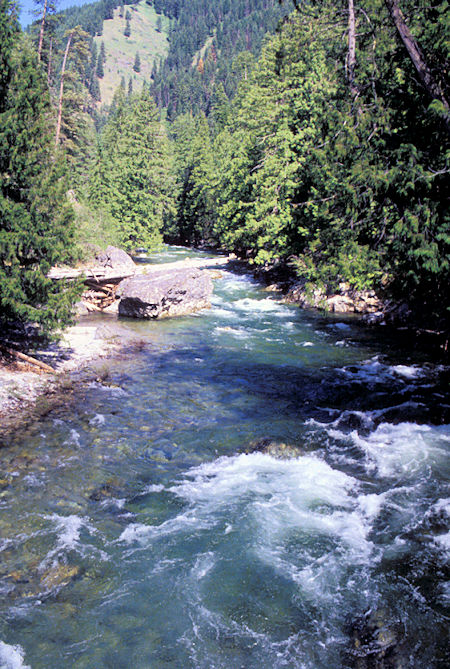
White Cap Creek at Paradise bridge
Returned to the main road and headed west in the Magruder Corridor anticipating driving all the way through to Elk City, Idaho. Made camp at the Kim Creek Saddle trailhead.
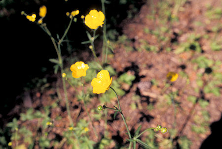
Flower at Kim Creek Saddle
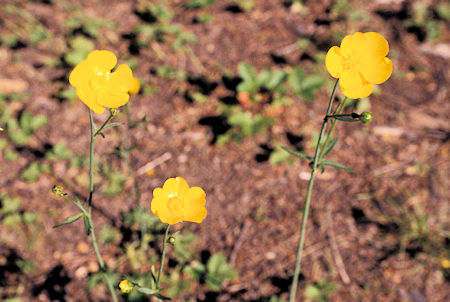
Flower at Kim Creek Saddle
Monday, July 7, 1997
Continued west on the Magruder Corridor road to Observation Point and nearby campground. Here the road was blocked by snow - which sort of explained the lack of traffic.
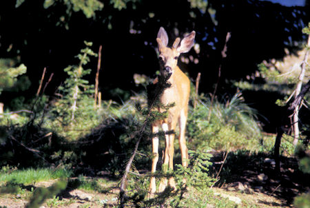
Deer at Observation Point campground
Parked in the campground and hiked along the road about 3.5 miles (7 miles round trip). Could walk along the edge of the road out of the snow most of the time but there were a number of places on the side hill where the snow was about two feet deep at the right hand road track and four to seven feet deep at the left hand road track. It will be a number of weeks before it melts out.
Enjoyed the hike and had nice views of the area. This road follows a narrow corridor between the Frank Church/River of No Return and the Selway-Bitterroot Wildernesses. Most of the countryside is rolling hill type of mountains covered with trees - not particularly exciting scenery. This is horse and hunting country - and river running country.
There are some more alpine areas on the east side of the Selway-Bitterroot Wilderness.
Tuesday, July 8, 1997
Saw a deer last night near camp. This is such a nice cool and pretty spot I decided to have a layover do nothing day here.
Wednesday, July 9, 1997
Turned out to be a cloudy and drippy day. Drove back to US 93, then north through Darby, MT to the Lost Horse Creek Road. Headed up this road to Twin Lakes. The road was pretty rough - about 18 miles at 5 miles per hour. The lakes both man-made. The nearby campground still was partially blocked by snow.
Drove short distance over to Bear Creek Pass campground which was a little dryer - had it all to myself. Nearby was a log cabin USFS Guard Station. This area is big for horse parties into the Selway-Bitterroot Wilderness.
Thursday, July 10, 1997
Rained off and on all night. Decided to take a day off and wait out the weather. It was drippy most of the day with sunshine late. A couple of cowboys came by on foot - seemed all of their stock had gotten loose somewhere quite a few miles down the trail and headed for home.
Saw them two days later headed back - on foot - with the stock. Apparently they didn't have access to any saddles in the area - said they had 25 miles to go back to camp.
Friday, July 11, 1997
Awoke to a sunny day.
Hiked three miles (6 miles round trip) past Lower Bear Lake and near Upper Bear Lake to a saddle overlooking Fish Lake. Pretty hike and lakes.
Someone camped at Lower Bear. Scared up three elk - one with a pretty good rack.
Back at camp, as dusk came in, the deer and elk came out to graze nearby. Two deer got real close - one of them licked my right rear tire.
I was inside and got a real close view - the tinting on my windows prevented them from seeing me. Sort of exciting.
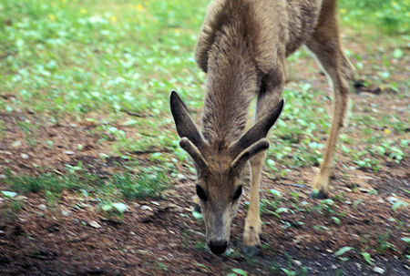
Deer at Bear Creek Pass Campground, Idaho
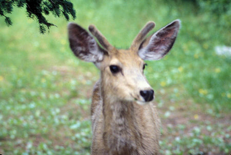
Deer at Bear Creek Pass Campground, Idaho
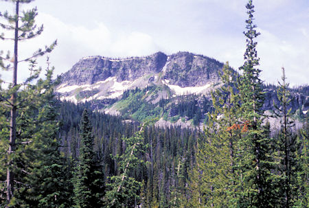
Bitterroot Mountains from Bear Lake/Fish Lake trail
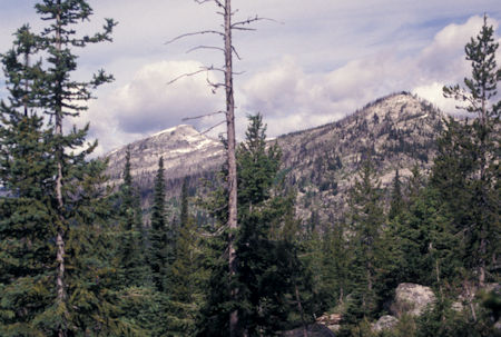
Bitterroot Mountains from Bear Lake/Fish Lake trail
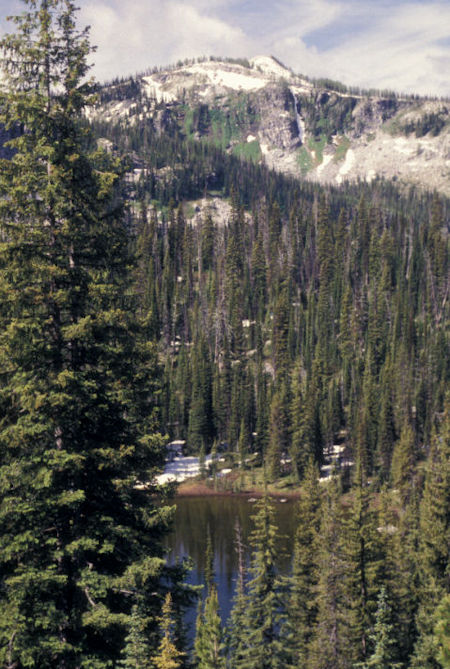
Lower Bear Lake from Bear Lake/Fish Lake trail
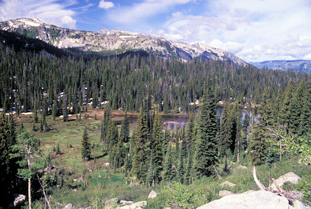
Lower Bear Lake from Bear Lake/Fish Lake trail
Cascade above Lower Bear Lake
Cascade above Lower Bear Lake
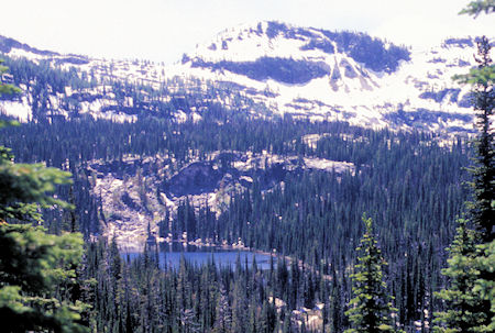
Upper Bear Lake from Bear Lake/Fish Lake trail
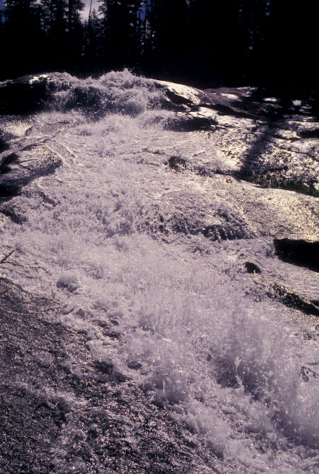
Cascade above Lower Bear Lake
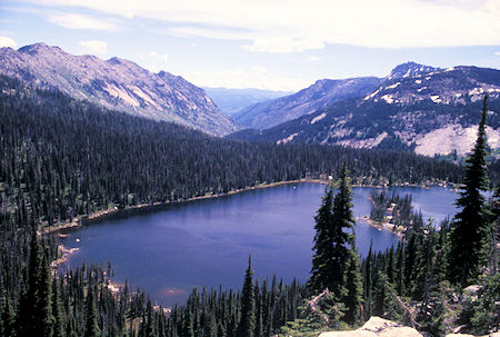
Fish Lake, Selway-Bitterroot Wilderness, Idaho
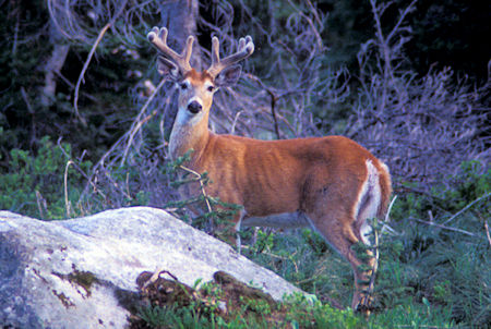
Deer at Bear Creek Pass Campground, Idaho
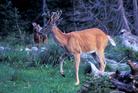
Deer at Bear Creek Pass Campground, Idaho
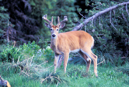
Deer at Bear Creek Pass Campground, Idaho
Saturday, July 12, 1997
Drove back out to US 93. Talked to the two cowboys on foot as I was leaving - and the Ranger from the guard station. Young guy originally from southern California.
At US 93, returned north to Hamilton, MT for supplies, then south to Lost Trail Pass on the Idaho/Montana border and site of a small ski area.
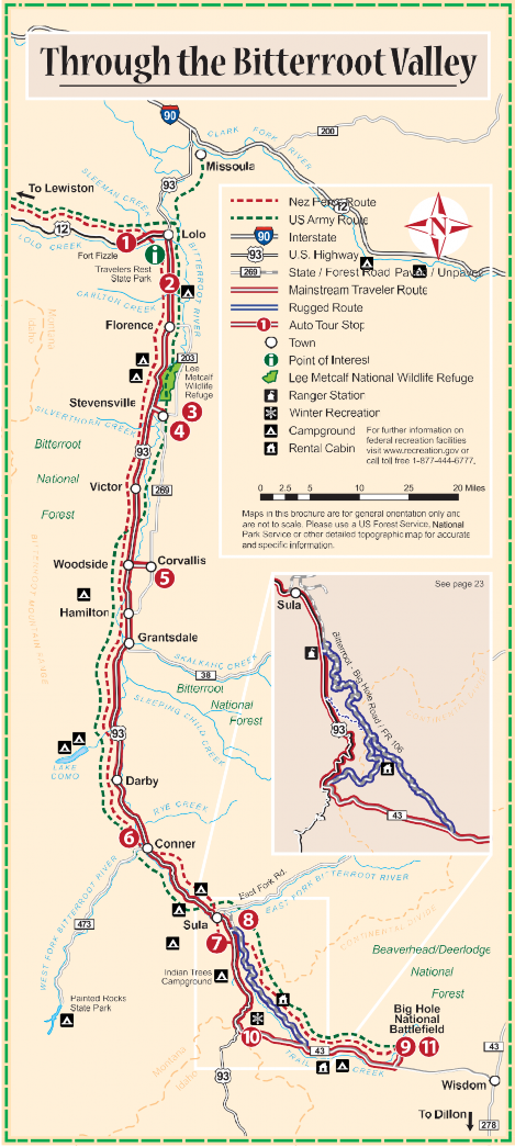
Big Hole National Battlefield location map
See this brochure (PDF) for information about the numbered points on the map.
Then east on Montana 43 to the Big Hole National Battlefield site of a major Army/Indian battle involving Chief Joseph. On August 9, 1877 gun shots shattered a chilly dawn on a sleeping camp of Nez Perce.
By the time the smoke cleared on August 10, almost 90 Nez Perce were dead along with 31 soldiers and volunteers. Big Hole National Battlefield was created to honor all who were there.
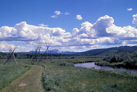
Big Hole National Battlefield, Idaho
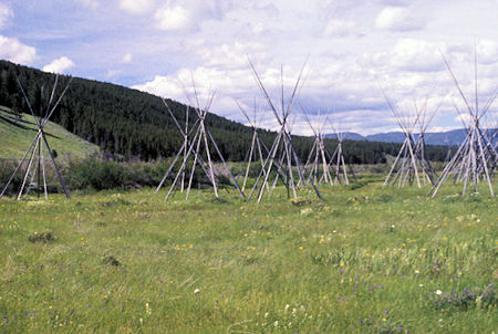
Big Hole National Battlefield, Idaho
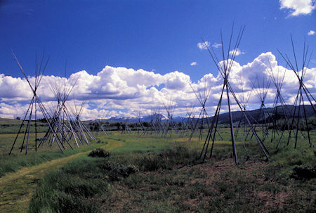
Big Hole National Battlefield, Idaho
Quite interesting and worth the visit. Check out this web site and this web site for more information.
Camped at a nearby USFS campground.
Sunday, July 13, 1997
This area is pretty forest on rolling hills with numerous green meadows. Crossed the Continental Divide at Chief Joseph Pass, 7241' yesterday and today.
Continued south on US 93 through Salmon, Idaho. Pretty farm country with interesting cliffs and hills along the Salmon River. Crossed the 45th Parallel - half way between the North Pole and Equator. Could see the high rugged peaks of the Anaconda-Pintlar Wilderness to the east.
Continued south through Challis, ID, then west on Idaho 75. Stopped at the Yankee Fork Visitor Center where they had a well done slide show and exhibits related to mining in the area - worth seeing.
Followed the Salmon River on Idaho 75 west to Lower Stanley, ID in the Sawtooth National Recreation Area.
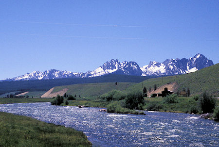
Sawtooth Mountains along Salmon river near Stanley, Idaho
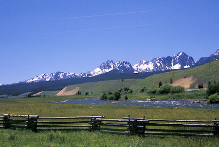
Sawtooth Mountains along Salmon river near Stanley, Idaho
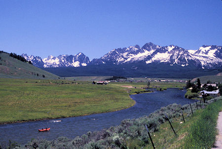
Sawtooth Mountains along Salmon river near Stanley, Idaho
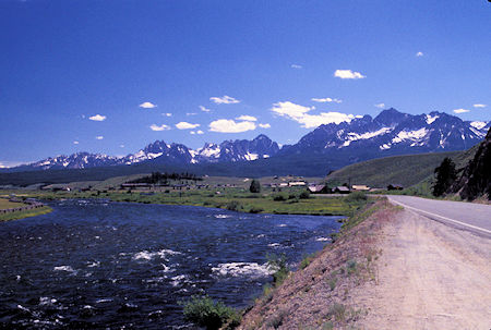
Sawtooth Mountains near Stanley, Idaho
Took a dirt side road along Nip 'n Tuck Creek that provided views of the Sawtooth Mountains.
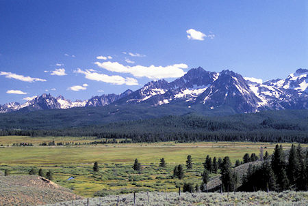
Sawtooth Mtns from Nip'N'Tuk Road, Idaho
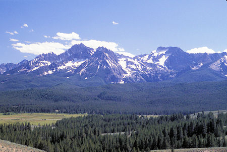
Sawtooth Mtns from Nip'N'Tuk Road, Idaho
This road came out on paved Idaho 21 north of Stanley, ID. I crossed the highway and continued to the Stanley Lake campground for the night. Pretty lake with rugged peaks in back.
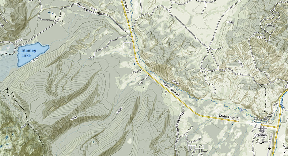
Stanley Lake map - Sawtooth National Recreation Area, Idaho
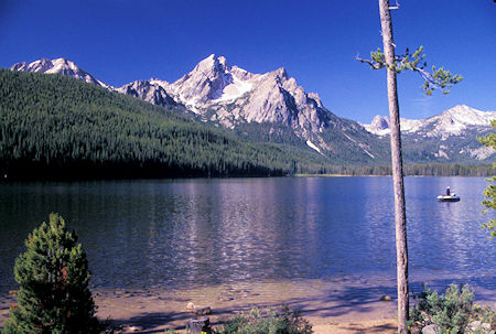
Stanley Lake, Sawtooth National Recreation Area, Idaho
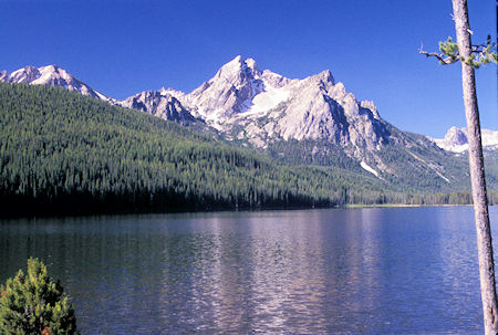
Stanley Lake, Sawtooth National Recreation Area, Idaho
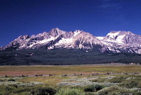
Sawtooth Mountains near Stanley, Idaho
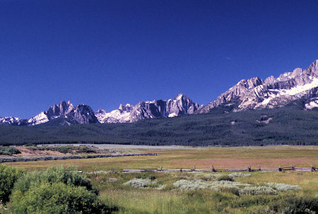
Sawtooth Mountains near Stanley, Idaho
Monday, July 14, 1997
Returned to Idaho 21, then south to Stanley - which I hadn't seen when I was in the area earlier - then back north to the Iron Creek Road.
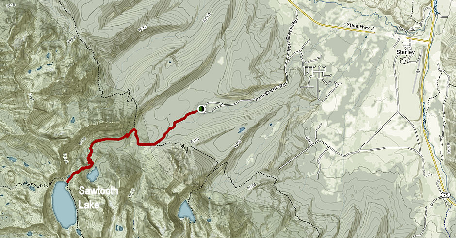
Sawtooth Lake map - Sawtooth National Recreation Area, Idaho
Left the Iron Creek trailhead about 11 a.m. for Sawtooth Lake, largest lake in the Sawtooth Mountains at 8430'.
The hike was five miles (10 miles round trip) of well graded trail with a 1720' gain. The upper portion is similar to Sierra high country.
This is a very popular hike so there no-campfires are allowed.
About a mile below Sawtooth Lake I passed Alpine Lake - fairly large with a snowfield running into the lake with potential icebergs.
Talked to a man from San Francisco who is a teacher and was touring with two friends in a Volkswagen bus. His wife was in Florida training to be a physical therapist. When she finished they planned to move to the Santa Barbara area. He likes to sail.
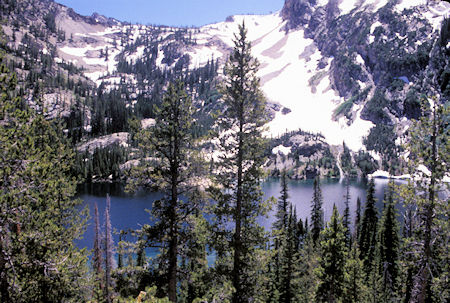
Alpine Lake, Sawtooth National Recreation Area, Idaho
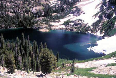
Alpine Lake on Sawtooth Lake Trail, Sawtooth Mtns, Idaho
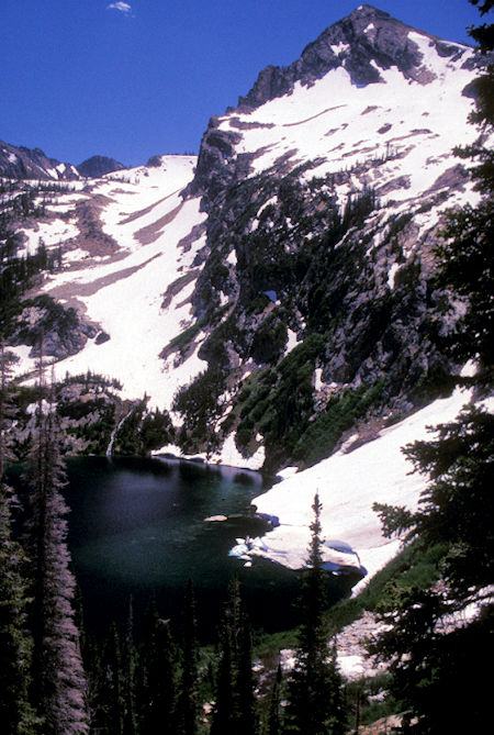
Alpine Lake, Sawtooth National Recreation Area, Idaho
Arrived at Sawtooth Lake about 2 p.m. Some pretty good snow patches on the upper trail and the lake still had some ice floating in it. Very pretty lake with Mt. Regan for a backdrop. Returned to the car and drove to Stanley Lake again for the night.
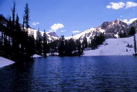
Sawtooth Lake, Sawtooth National Recreation Area, Idaho
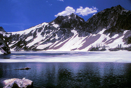
Sawtooth Lake, Sawtooth National Recreation Area, Idaho
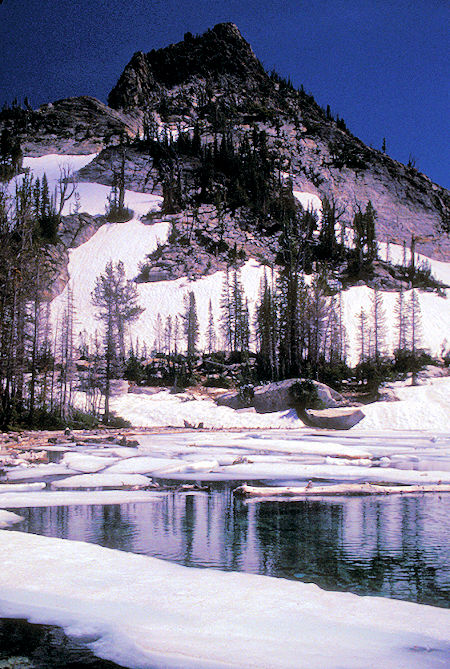
Sawtooth Lake, Sawtooth National Recreation Area, Idaho
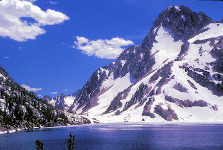
Sawtooth Lake, Sawtooth National Recreation Area, Idaho
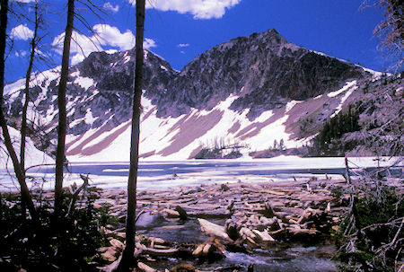
Sawtooth Lake, Sawtooth National Recreation Area, Idaho
Tuesday, July 15, 1997
Headed north on Idaho 21, the Ponderosa Pine Scenic Byway, toward Boise, ID. The first part was very pretty rolling forest with many large green meadows - cattle country - some minor peaks with patches of snow peeking over the trees.
The highway soon began paralleling the South Fork of the Payette River which was quite pretty. As I approached Lowman, ID the evidence of a VERY LARGE forest fire in 1989 was displayed on the now mostly treeless hills.
From Lowman, the road climbs up over a divide and the scenery becomes just plain old forested mountains, parts of it still in the fire area. Near Boise I passed two large reservoir lakes and it was getting pretty warm. The air conditioning in the lunch stop and motel feel good.
Wednesday, July 16, 1997
Refueled and stocked up with groceries then headed north on Idaho 55 along the Payette River - a wild stream. This is farming and logging country - some owned by Boise-Cascade. Ran into a rather long road construction delay. Eventually stopped at the Last Chance Campground north of McCall, ID.
Thursday, July 17, 1997
Sort of rainy so decided to layover and read, etc. It really poured late in the day - about an inch according to the campground host.
Friday, July 18, 1997
Continued on Idaho 55 west to US 95, then south to Cambridge, then on Idaho 71 over to Hells Canyon. Hells Canyon brochure (PDF).
Idaho Power has some really nice campgrounds on the three reservoirs.
Drove out to Hells Canyon Dam and the boat launch facility. Seems they had a flood early in the year - about when we did - that wiped out part of the boat launch facility.
A teenager working there said the River had gotten higher then ever before.
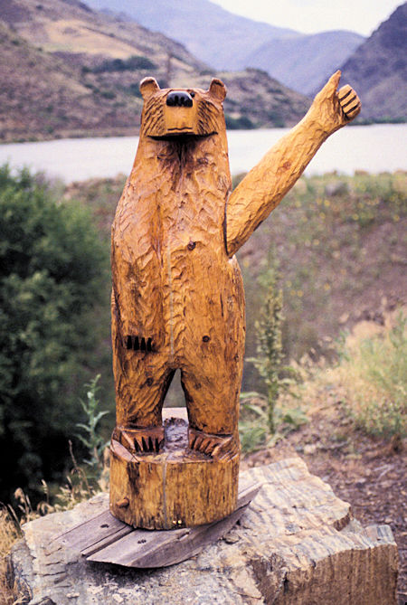
Bear Carving at Hells Canyon, Idaho
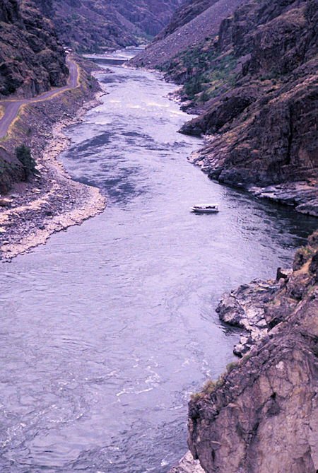
Jet Boat on Snake River from Hells Canyon Dam
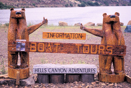
Hells Canyon Adventures sign
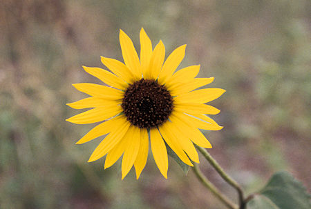
Flower along the road
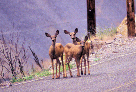
Deer along the road
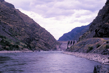
Looking up the Snake River toward Hells Canyon Dam
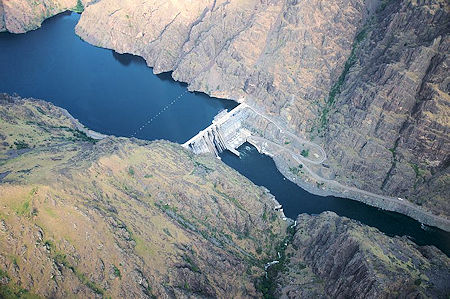
Hells Canyon Dam
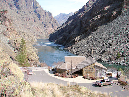
Hells Canyon Visitor Center
I had planned to go over to Joseph and Enterprise, OR and the Eagle Cap Wilderness but the main road from Hells Canyon over to Joseph was closed due to washouts and the alternative routes weren't very attractive so decided to skip that.
Headed back toward McCall and found a USFS campground for the night. Rained again.
Saturday, July 19, 1997
Woke up to sunshine. Returned via Idaho 71, US 95 and Idaho 55 to McCall, ID and stopped in at Granny's Attic - the quilting shop run by Carol Anne Wagner and her daughter. Surprised her. She drew me a map and I proceeded to their house to surprise Roy. Enjoyed visiting them. Saw a small fawn while walking around the field in front of their house.


